Whitelea Chase

Settlement in Northumberland

England

Whitelea Chase

Moor Farm retail area, Annitsford, Cramlington
Moor Farm retail area, Annitsford, Cramlington Credit: habiloid

Whitelea Chase is a small village located in the county of Northumberland in northeast England. Nestled amidst the picturesque Northumberland National Park, it is surrounded by stunning natural beauty. The village is situated about 10 miles southwest of the market town of Alnwick and is easily accessible by road.

The landscape around Whitelea Chase is characterized by rolling hills, lush green fields, and dense woodlands, making it an ideal destination for nature lovers and outdoor enthusiasts. The nearby Cheviot Hills offer ample opportunities for hiking, mountain biking, and birdwatching. The area is also known for its rich wildlife, with sightings of red squirrels, otters, and various bird species being common.

Despite its small size, Whitelea Chase boasts a close-knit and friendly community. The village is adorned with charming stone cottages and well-maintained gardens, creating a picturesque and inviting atmosphere. The local pub, The White Horse, serves as a popular gathering spot for both locals and visitors, offering a warm and welcoming ambiance.

The village is also conveniently located near several notable attractions. The famous Alnwick Castle, known for its appearance in the Harry Potter films, is just a short drive away. Additionally, the stunning Northumberland coastline, with its pristine beaches and historic castles, is within easy reach.

In summary, Whitelea Chase is a delightful village in Northumberland that offers a peaceful retreat in the heart of nature. Its idyllic setting, friendly community, and proximity to natural and cultural attractions make it an appealing destination for those seeking tranquility and outdoor adventures.

If you have any feedback on the listing, please let us know in the comments section below.

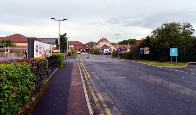
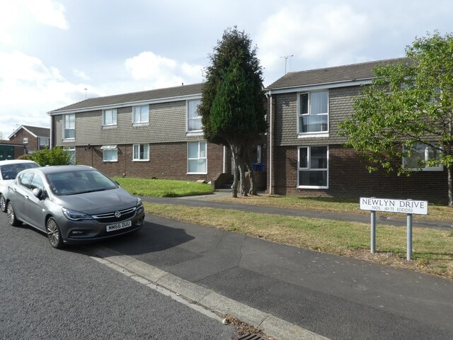
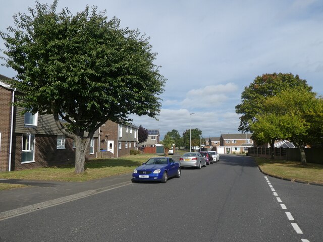
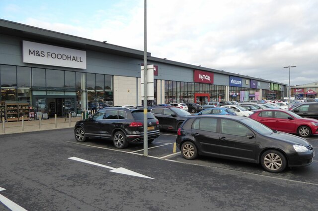
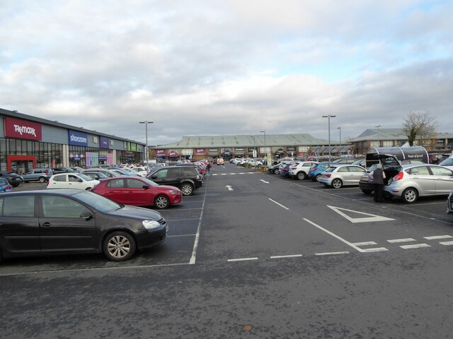
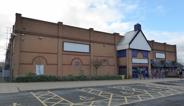
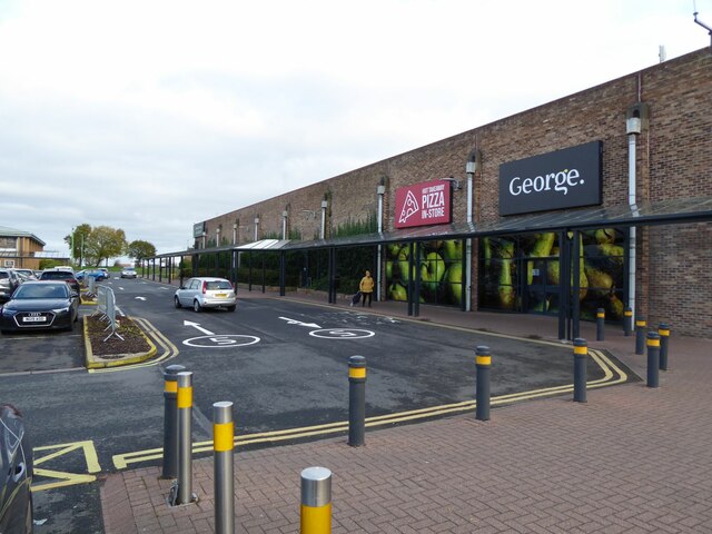
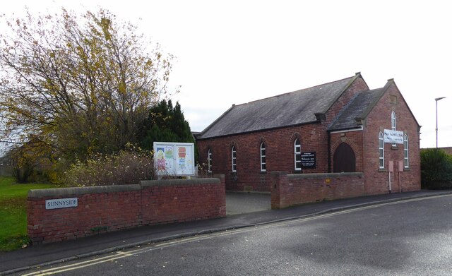
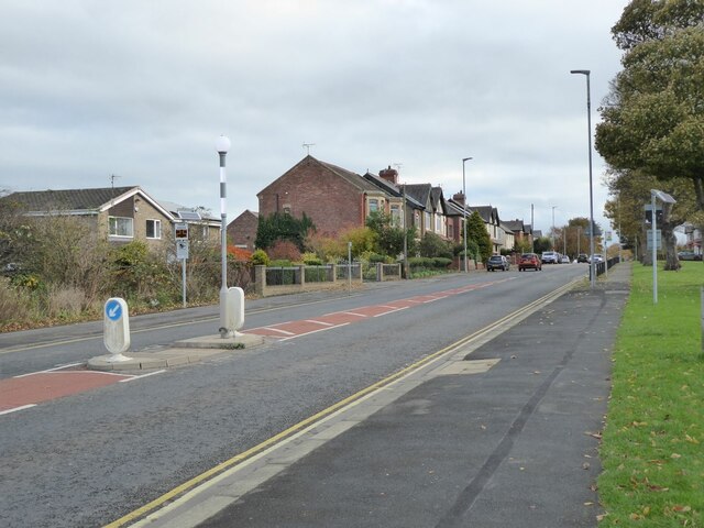
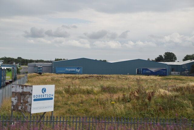
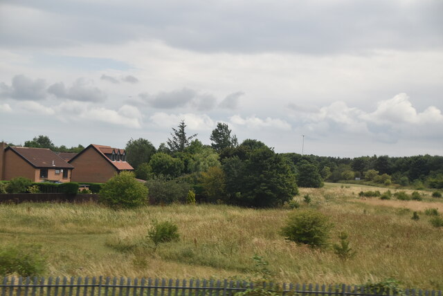
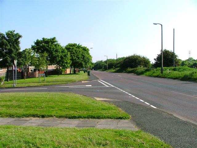
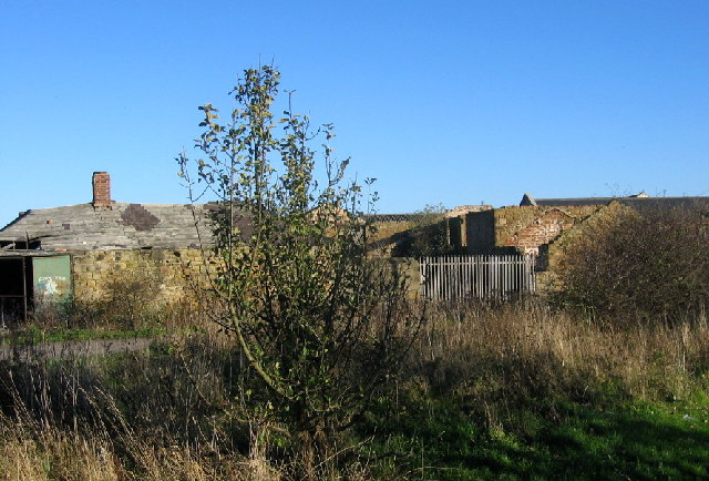
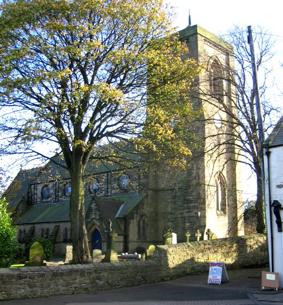
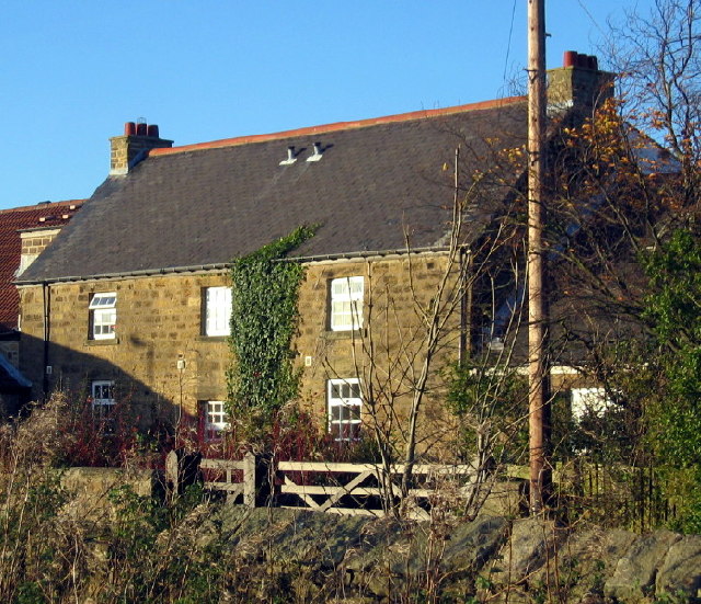
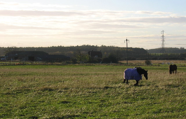
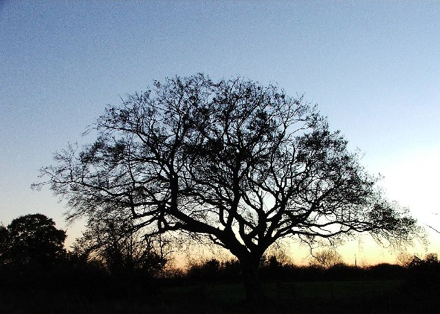
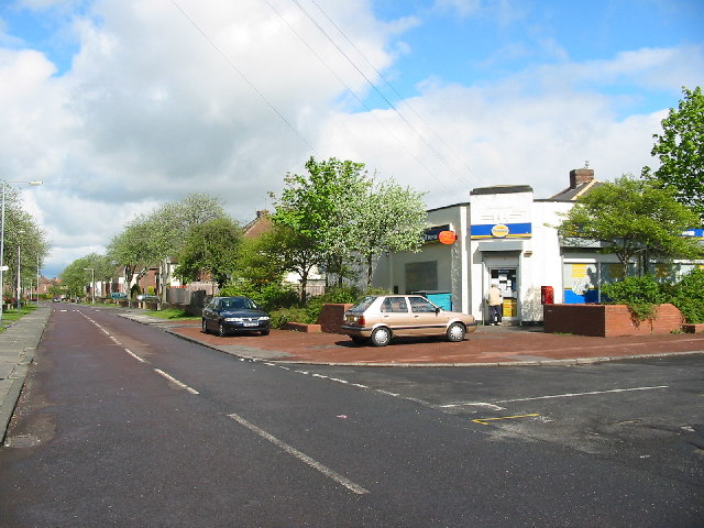
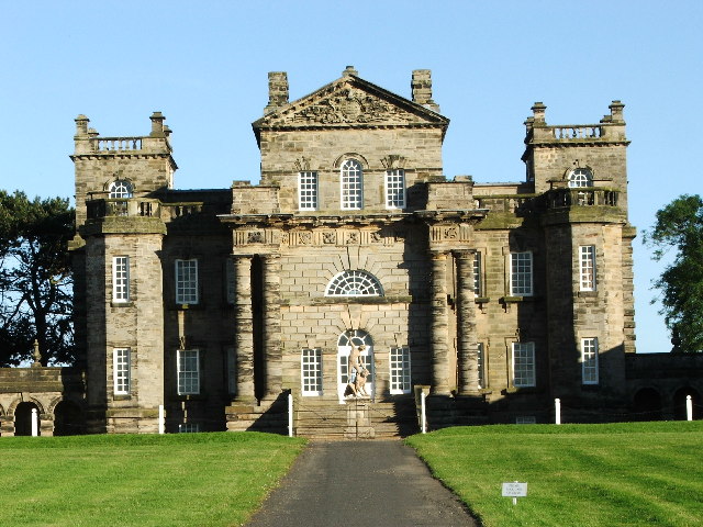
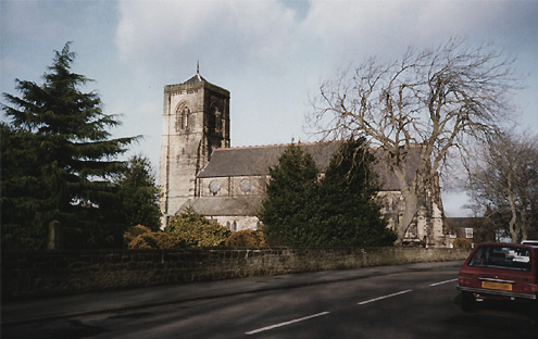
Whitelea Chase Images

Images are sourced within 2km of 55.080772/-1.5949526 or Grid Reference NZ2576. Thanks to Geograph Open Source API. All images are credited.

Moor Farm retail area, Annitsford, Cramlington
Houses on Newlyn Drive, Cramlington
Newlyn Drive, Cramlington
Western edge of Cramlington's shopping centre With M&S Foodhall, T.k.maxx and Shoezone prominent.
Western edge of Cramlington's shopping centre
With M&S Foodhall, T.k.maxx and Shoezone prominent.
Parking at Cramlington's shopping centre A wide range of shops form the perimeter.
Parking at Cramlington's shopping centre
A wide range of shops form the perimeter.
Closed Buzz Bingo Cramlington 'Everyone has been impacted by coronavirus including us here at Buzz Bingo, which means we have had to make some difficult decisions. It’s with a heavy heart we announce the proposed closure of Buzz Bingo Cramlington.' 
<span class="nowrap"><a title="https://www.buzzbingo.com/club/cramlington.html" rel="nofollow ugc noopener" href="https://www.buzzbingo.com/club/cramlington.html">Link</a><img style="margin-left:2px;" alt="External link" title="External link - shift click to open in new window" src="https://s1.geograph.org.uk/img/external.png" width="10" height="10"/></span>
Closed Buzz Bingo Cramlington
'Everyone has been impacted by coronavirus including us here at Buzz Bingo, which means we have had to make some difficult decisions. It’s with a heavy heart we announce the proposed closure of Buzz Bingo Cramlington.' LinkExternal link
George. and Hot Takeaway Pizza In-Store On Cramlington's Shopping Centre.
George. and Hot Takeaway Pizza In-Store
On Cramlington's Shopping Centre.
Welcome Methodist Church Cramlington 'Welcome to Welcome Methodist Church! Don't forget to like or follow us so you can find out about our work in Cramlington, join us for services or one of our community groups. Thanks for visiting our church page and we hope to see you soon!'  <span class="nowrap"><a title="https://www.facebook.com/Welcomemethodistchurchcramlington/" rel="nofollow ugc noopener" href="https://www.facebook.com/Welcomemethodistchurchcramlington/">Link</a><img style="margin-left:2px;" alt="External link" title="External link - shift click to open in new window" src="https://s1.geograph.org.uk/img/external.png" width="10" height="10"/></span>
Welcome Methodist Church Cramlington
'Welcome to Welcome Methodist Church! Don't forget to like or follow us so you can find out about our work in Cramlington, join us for services or one of our community groups. Thanks for visiting our church page and we hope to see you soon!' LinkExternal link
Station Road, Cramlington From the Sunnyside junction.
Station Road, Cramlington
From the Sunnyside junction.
Northumberland Business Park
Edge of Cramlington
Edge of Cramlington
Junction of Westerkirk and the B1505, Cramlington
Decaying buildings, East Cramlington Farm These old ruins are a bit of a puzzle. Are they farm buildings or part of the old colliery which stood near this site?
Decaying buildings, East Cramlington Farm
These old ruins are a bit of a puzzle. Are they farm buildings or part of the old colliery which stood near this site?
Parish Church of St. Nicholas, Cramlington Village When this church was built in the 1860's Cramlington was still a small mining village with a history going back before the Conquest. Now it is a suburb of the much larger 'New Town' developed in the 1960's.
Parish Church of St. Nicholas, Cramlington Village
When this church was built in the 1860's Cramlington was still a small mining village with a history going back before the Conquest. Now it is a suburb of the much larger 'New Town' developed in the 1960's.
Beacon Farm, Cramlington On Beaconhill just on the edge of the 'New Town'
Beacon Farm, Cramlington
On Beaconhill just on the edge of the 'New Town'
Field, horses and White Hall Farm Taken from Beaconhill
Field, horses and White Hall Farm
Taken from Beaconhill
Burnt Out Oak Next to a lake at Arcot Hall Golf Club this tree has had its trunk almost entirely burnt out yet still it grows. A short-eared owl was hunting in the field behind me.
Burnt Out Oak
Next to a lake at Arcot Hall Golf Club this tree has had its trunk almost entirely burnt out yet still it grows. A short-eared owl was hunting in the field behind me.
Nelson Village, South East Northumberland The village owes its name to the nearby but long since closed Nelson Colliery.
The photograph shows the Post Office / general store on Arcot Avenue.
Nelson Village, South East Northumberland
The village owes its name to the nearby but long since closed Nelson Colliery. The photograph shows the Post Office / general store on Arcot Avenue.
Show me another place!

Whitelea Chase is located at Grid Ref: NZ2576 (Lat: 55.080772, Lng: -1.5949526)

Unitary Authority: Northumberland

Police Authority: Northumbria

What 3 Words

///noses.shuts.orchestra. Near Cramlington, Northumberland

Related Wikis

Beaconhill

Beaconhill is a housing estate in Northumberland, in England. It is in the west of Cramlington, north of Newcastle upon Tyne. It is served by a primary...

Cramlington Learning Village

Cramlington Learning Village, formerly Cramlington Community High School, is a large high school with academy status in Cramlington, Northumberland, England...

Seaton Valley

Seaton Valley is a civil parish at the south eastern corner of Northumberland, consisting of four villages lying between Cramlington, Blyth and Whitley...

Stonelaw Middle School

Stonelaw County Middle School was a middle school in Cramlington, Northumberland, England, normally referred to as Stonelaw. Operating under the three...

Cramlington

Cramlington is a town and civil parish in Northumberland, England, 6 miles (9.7 kilometres) north of Newcastle upon Tyne, and 10 miles (16 kilometres)...

Cramlington railway station

Cramlington is a railway station on the East Coast Main Line, which runs between London King's Cross and Edinburgh Waverley. The station, situated 9 miles...

Arcot Hall Grasslands and Ponds

Arcot Hall Grasslands and Ponds is the name given to a Site of Special Scientific Interest (SSSI) near Cramlington in Northumberland, England, notable...

Parkside Middle School, Cramlington

Parkside Middle School was a school in Cramlington, United Kingdom from its foundation in 1909 until 2008, when it closed as middle school functions in...

Nearby Amenities

Located within 500m of 55.080772,-1.5949526
Noexit: yes
Lat/Long: 55.0776307/-1.5960736
Noexit: yes
Lat/Long: 55.0779928/-1.593399
Noexit: yes
Lat/Long: 55.0779541/-1.596164
Noexit: yes
Lat/Long: 55.0780206/-1.5953163
Noexit: yes
Lat/Long: 55.0787208/-1.5941967
Noexit: yes
Lat/Long: 55.0792652/-1.5953329
Noexit: yes
Lat/Long: 55.0804877/-1.5892004
Noexit: yes
Lat/Long: 55.0806479/-1.5905544
Noexit: yes
Lat/Long: 55.0830877/-1.5907087
Noexit: yes
Lat/Long: 55.0820288/-1.5911766
Noexit: yes
Lat/Long: 55.0820012/-1.5907017
Noexit: yes
Lat/Long: 55.0817481/-1.588466
Noexit: yes
Lat/Long: 55.08342/-1.5926419
Noexit: yes
Lat/Long: 55.0828005/-1.591989
Noexit: yes
Lat/Long: 55.0835682/-1.5934774
Noexit: yes
Lat/Long: 55.0823793/-1.5951448
Noexit: yes
Lat/Long: 55.08255/-1.5951179
Noexit: yes
Lat/Long: 55.0841155/-1.5994547
Post Box
Postal Code: NE23 6BD
Ref: NE23 368
Lat/Long: 55.0790477/-1.5918048
Post Box
Postal Code: NE23 6AF
Ref: NE23 659
Lat/Long: 55.0823834/-1.5912508
Crossing
Crossing: uncontrolled
Crossing Markings: zebra
Crossing Ref: zebra
Lat/Long: 55.085155/-1.5945951
Noexit: yes
Lat/Long: 55.083357/-1.5935875
Bus: yes
Bus Bay: right
Public Transport: stop_position
Lat/Long: 55.0849253/-1.595764
Bus Stop
Bus: yes
Naptan AtcoCode: 3100Z262766
Naptan NaptanCode: nldgmwgm
Public Transport: platform
Shelter: yes
Lat/Long: 55.0832494/-1.5907894
Bus Stop
Cramlington, Westmorland Way
Bench: no
Bin: yes
Bus: yes
Departures Board: timetable
Naptan AtcoCode: 3100Z258768
Naptan NaptanCode: nldajmpg
Public Transport: platform
Shelter: yes
Lat/Long: 55.0851958/-1.5961136
Bus Stop
Bus: yes
Naptan AtcoCode: 3100Z261766
Naptan NaptanCode: nldgmwgj
Public Transport: platform
Shelter: yes
Lat/Long: 55.0835283/-1.5914968
Noexit: yes
Lat/Long: 55.0783138/-1.5887059
Noexit: yes
Lat/Long: 55.0797363/-1.5894293
Noexit: yes
Lat/Long: 55.0798311/-1.590463
Noexit: yes
Lat/Long: 55.0799576/-1.591673
Man Made: surveillance
Surveillance: outdoor
Lat/Long: 55.0851453/-1.595692
Bus Stop
Bench: yes
Naptan AtcoCode: 3100Z258769
Naptan NaptanCode: nldatjga
Shelter: yes
Lat/Long: 55.0850001/-1.5956664
Noexit: yes
Lat/Long: 55.0811685/-1.5922231
Noexit: yes
Lat/Long: 55.0815115/-1.5953431
Noexit: yes
Lat/Long: 55.0778283/-1.5919407
Noexit: yes
Lat/Long: 55.0778705/-1.5923832
Noexit: yes
Lat/Long: 55.0827944/-1.5918106
Noexit: yes
Lat/Long: 55.0785964/-1.5951647
Noexit: yes
Lat/Long: 55.078305/-1.5898191
Noexit: yes
Lat/Long: 55.0783039/-1.5905888
Noexit: yes
Lat/Long: 55.0805668/-1.5932023
Noexit: yes
Lat/Long: 55.080004/-1.5935884
Noexit: yes
Lat/Long: 55.076877/-1.5914116
Crossing
Lat/Long: 55.0768337/-1.5912447
Crossing
Crossing: marked
Lat/Long: 55.0769984/-1.591206
Bus Stop
Bench: yes
Bin: yes
Bus: yes
Departures Board: timetable
Naptan AtcoCode: 3100Z264763
Naptan NaptanCode: nldawmag
Public Transport: platform
Shelter: yes
Lat/Long: 55.0808596/-1.5873646
Bus Stop
Bench: yes
Bin: yes
Bus: yes
Departures Board: timetable
Naptan AtcoCode: 3100Z264762
Naptan NaptanCode: nldamtgw
Public Transport: platform
Shelter: yes
Lat/Long: 55.0803126/-1.5877033
Give Way
Direction: forward
Lat/Long: 55.0847274/-1.5940615
Generator Method: photovoltaic
Generator Output Electricity: yes
Generator Source: solar
Generator Type: solar_photovoltaic_panel
Power: generator
Lat/Long: 55.0805383/-1.5939899
Generator Method: photovoltaic
Generator Output Electricity: yes
Generator Source: solar
Generator Type: solar_photovoltaic_panel
Power: generator
Lat/Long: 55.0811501/-1.5944204
Generator Method: photovoltaic
Generator Output Electricity: yes
Generator Source: solar
Generator Type: solar_photovoltaic_panel
Power: generator
Lat/Long: 55.0811616/-1.5945344
Generator Method: photovoltaic
Generator Output Electricity: yes
Generator Source: solar
Generator Type: solar_photovoltaic_panel
Power: generator
Lat/Long: 55.0808331/-1.594069
Generator Method: photovoltaic
Generator Output Electricity: yes
Generator Source: solar
Generator Type: solar_photovoltaic_panel
Power: generator
Lat/Long: 55.0808177/-1.5938947
Generator Method: photovoltaic
Generator Output Electricity: yes
Generator Source: solar
Generator Type: solar_photovoltaic_panel
Power: generator
Lat/Long: 55.0820951/-1.5929358
Noexit: yes
Lat/Long: 55.0826953/-1.5891014
Noexit: yes
Lat/Long: 55.0817197/-1.5880086
Give Way
Direction: forward
Lat/Long: 55.0820761/-1.5890078
Give Way
Direction: forward
Lat/Long: 55.0821638/-1.5898796
Give Way
Direction: forward
Lat/Long: 55.0823098/-1.590343
Give Way
Direction: forward
Lat/Long: 55.0825819/-1.5926157
Give Way
Direction: forward
Lat/Long: 55.0823948/-1.5921124
Give Way
Direction: forward
Lat/Long: 55.0826062/-1.5933078
Give Way
Direction: forward
Lat/Long: 55.0837178/-1.5952785
Generator Method: photovoltaic
Generator Output Electricity: yes
Generator Source: solar
Generator Type: solar_photovoltaic_panel
Power: generator
Lat/Long: 55.0796171/-1.5955201
Generator Method: photovoltaic
Generator Output Electricity: yes
Generator Source: solar
Generator Type: solar_photovoltaic_panel
Power: generator
Lat/Long: 55.0778544/-1.594407
Generator Method: photovoltaic
Generator Output Electricity: yes
Generator Source: solar
Generator Type: solar_photovoltaic_panel
Power: generator
Lat/Long: 55.0791196/-1.5909469
Generator Method: photovoltaic
Generator Output Electricity: yes
Generator Source: solar
Generator Type: solar_photovoltaic_panel
Power: generator
Lat/Long: 55.0783787/-1.5916953
Generator Method: photovoltaic
Generator Output Electricity: yes
Generator Source: solar
Generator Type: solar_photovoltaic_panel
Power: generator
Lat/Long: 55.0786267/-1.594297
Noexit: yes
Lat/Long: 55.0787999/-1.5944412
Give Way
Direction: forward
Lat/Long: 55.0789693/-1.5935298
Noexit: yes
Lat/Long: 55.0790344/-1.5946906
Generator Method: photovoltaic
Generator Output Electricity: yes
Generator Source: solar
Generator Type: solar_photovoltaic_panel
Power: generator
Lat/Long: 55.0778145/-1.5905339
Generator Method: photovoltaic
Generator Output Electricity: yes
Generator Source: solar
Generator Type: solar_photovoltaic_panel
Power: generator
Lat/Long: 55.0783887/-1.5958755
Generator Method: photovoltaic
Generator Output Electricity: yes
Generator Source: solar
Generator Type: solar_photovoltaic_panel
Power: generator
Lat/Long: 55.0783642/-1.591537
Generator Method: photovoltaic
Generator Output Electricity: yes
Generator Source: solar
Generator Type: solar_photovoltaic_panel
Power: generator
Lat/Long: 55.0825526/-1.589359
Generator Method: photovoltaic
Generator Output Electricity: yes
Generator Source: solar
Generator Type: solar_photovoltaic_panel
Power: generator
Lat/Long: 55.0805429/-1.5903729
Generator Method: photovoltaic
Generator Output Electricity: yes
Generator Source: solar
Generator Type: solar_photovoltaic_panel
Power: generator
Lat/Long: 55.0789691/-1.5892223
Generator Method: photovoltaic
Generator Output Electricity: yes
Generator Source: solar
Generator Type: solar_photovoltaic_panel
Power: generator
Lat/Long: 55.079832/-1.5913385
Generator Method: photovoltaic
Generator Output Electricity: yes
Generator Source: solar
Generator Type: solar_photovoltaic_panel
Power: generator
Lat/Long: 55.0829395/-1.5953136
Generator Method: photovoltaic
Generator Output Electricity: yes
Generator Source: solar
Generator Type: solar_photovoltaic_panel
Power: generator
Lat/Long: 55.0838192/-1.5950534
Generator Method: photovoltaic
Generator Output Electricity: yes
Generator Source: solar
Generator Type: solar_photovoltaic_panel
Power: generator
Lat/Long: 55.0837732/-1.5947557
Generator Method: photovoltaic
Generator Output Electricity: yes
Generator Source: solar
Generator Type: solar_photovoltaic_panel
Power: generator
Lat/Long: 55.0837901/-1.5948656
Generator Method: photovoltaic
Generator Output Electricity: yes
Generator Source: solar
Generator Type: solar_photovoltaic_panel
Power: generator
Lat/Long: 55.0833479/-1.5949756
Generator Method: photovoltaic
Generator Output Electricity: yes
Generator Source: solar
Generator Type: solar_photovoltaic_panel
Power: generator
Lat/Long: 55.0834692/-1.5946698
Generator Method: photovoltaic
Generator Output Electricity: yes
Generator Source: solar
Generator Type: solar_photovoltaic_panel
Power: generator
Lat/Long: 55.083133/-1.5943962
Generator Method: photovoltaic
Generator Output Electricity: yes
Generator Source: solar
Generator Type: solar_photovoltaic_panel
Power: generator
Lat/Long: 55.0831514/-1.5945062
Generator Method: photovoltaic
Generator Output Electricity: yes
Generator Source: solar
Generator Type: solar_photovoltaic_panel
Power: generator
Lat/Long: 55.0828919/-1.5935728
Generator Method: photovoltaic
Generator Output Electricity: yes
Generator Source: solar
Generator Type: solar_photovoltaic_panel
Power: generator
Lat/Long: 55.082875/-1.5934548
Generator Method: photovoltaic
Generator Output Electricity: yes
Generator Source: solar
Generator Type: solar_photovoltaic_panel
Power: generator
Lat/Long: 55.0827691/-1.5930551
Generator Method: photovoltaic
Generator Output Electricity: yes
Generator Source: solar
Generator Type: solar_photovoltaic_panel
Power: generator
Lat/Long: 55.0833187/-1.5923229
Generator Method: photovoltaic
Generator Output Electricity: yes
Generator Source: solar
Generator Type: solar_photovoltaic_panel
Power: generator
Lat/Long: 55.0833034/-1.5922129
Generator Method: photovoltaic
Generator Output Electricity: yes
Generator Source: solar
Generator Type: solar_photovoltaic_panel
Power: generator
Lat/Long: 55.0832727/-1.5920466
Generator Method: photovoltaic
Generator Output Electricity: yes
Generator Source: solar
Generator Type: solar_photovoltaic_panel
Power: generator
Lat/Long: 55.082611/-1.5918937
Give Way
Direction: forward
Lat/Long: 55.0839145/-1.6001389
Noexit: yes
Lat/Long: 55.0843413/-1.5993683
Give Way
Direction: forward
Lat/Long: 55.0834671/-1.6003161
Give Way
Direction: forward
Lat/Long: 55.0852473/-1.5941615
Crossing
Crossing: uncontrolled
Crossing Markings: zebra
Crossing Ref: zebra
Lat/Long: 55.0851886/-1.5938021
Crossing
Crossing: uncontrolled
Crossing Markings: zebra
Crossing Ref: zebra
Lat/Long: 55.0851513/-1.5940842
Entrance: yes
Lat/Long: 55.0764722/-1.5933943
Entrance: yes
Lat/Long: 55.076761/-1.5925163
Entrance: yes
Lat/Long: 55.0769554/-1.5924695
Entrance: yes
Lat/Long: 55.0774156/-1.592898
Entrance: yes
Lat/Long: 55.0773559/-1.5929123
Entrance: yes
Lat/Long: 55.076737/-1.5931391
Entrance: yes
Lat/Long: 55.0768695/-1.5930051
Entrance: yes
Lat/Long: 55.0769893/-1.5929763
Entrance: yes
Lat/Long: 55.0769709/-1.5927352
Entrance: yes
Lat/Long: 55.0768555/-1.592763
Entrance: yes
Lat/Long: 55.0764948/-1.592753
Give Way
Direction: forward
Lat/Long: 55.0846497/-1.591561
Crossing
Crossing: uncontrolled
Crossing Markings: zebra
Crossing Ref: zebra
Lat/Long: 55.0848659/-1.5947553
Crossing
Crossing: uncontrolled
Crossing Markings: zebra
Crossing Ref: zebra
Lat/Long: 55.0850715/-1.5943767
Parking
Fee: no
Maxstay: 90 minutes
Parking: surface
Lat/Long: 55.0847519/-1.5948661
The data included in this document is from www.openstreetmap.org. The data is made available under ODbL.

Have you been to Whitelea Chase?

Leave your review of Whitelea Chase below (or comments, questions and feedback).