Whitelea Dale
Settlement in Northumberland
England
Whitelea Dale
Whitelea Dale is a picturesque village located in the county of Northumberland, England. Situated in the heart of the Northumberland National Park, it is renowned for its stunning natural beauty and tranquil atmosphere. The village is nestled in a valley surrounded by rolling hills and dense woodlands, offering breathtaking views of the surrounding countryside.
Whitelea Dale boasts a rich history, with evidence of human settlement dating back to the Iron Age. The village's charm lies in its traditional stone-built houses and cottages, which add to its quaint and idyllic ambiance. The local community is close-knit and welcoming, making it an ideal destination for those seeking a peaceful retreat from city life.
Nature enthusiasts flock to Whitelea Dale for its abundant wildlife and diverse flora. The area is known for its pristine rivers and streams, which are perfect for fishing and kayaking. The village is also a popular starting point for hikers and cyclists, with many scenic trails leading through the surrounding countryside and the nearby Cheviot Hills.
In terms of amenities, Whitelea Dale offers a range of facilities to cater to both residents and visitors. There is a small grocery store, a village hall for community events, and a charming local pub that serves traditional British cuisine. Additionally, the village is conveniently located near larger towns and cities, providing easy access to essential services and amenities.
Overall, Whitelea Dale is a hidden gem in the Northumberland countryside, offering a peaceful and picturesque retreat for nature lovers and those seeking a slower pace of life.
If you have any feedback on the listing, please let us know in the comments section below.
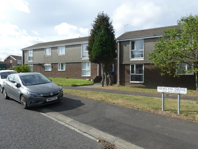
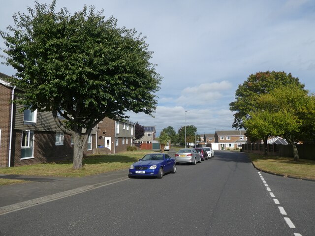
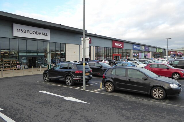
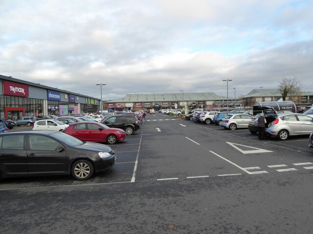
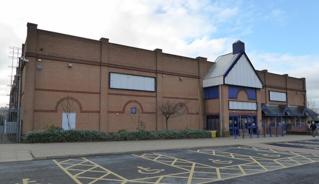
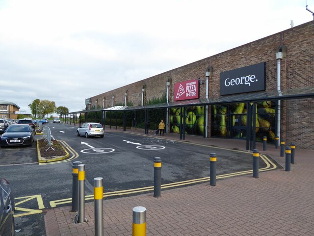
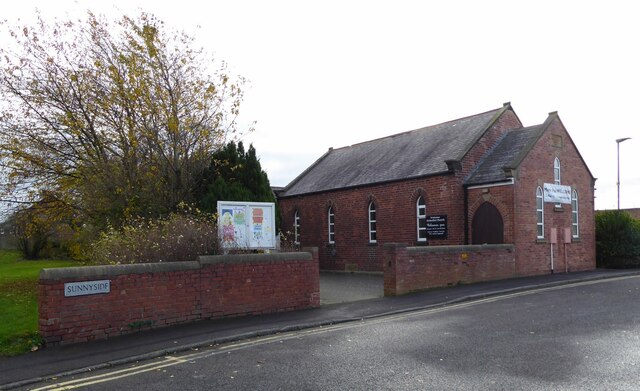
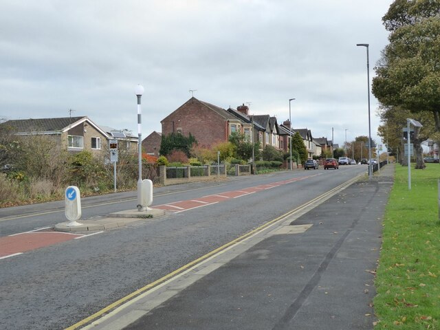
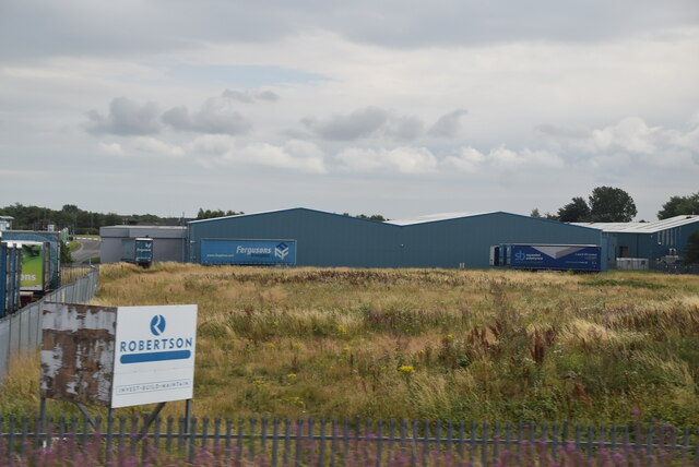
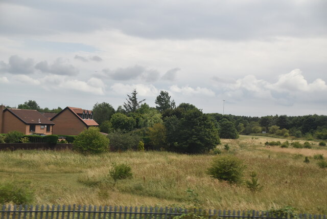
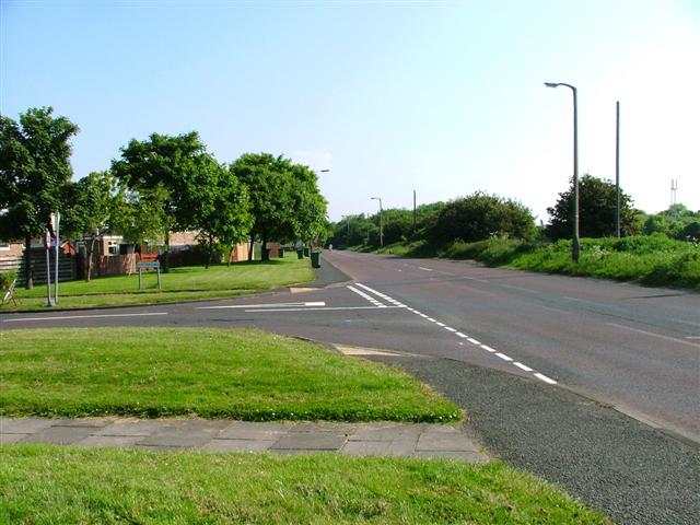
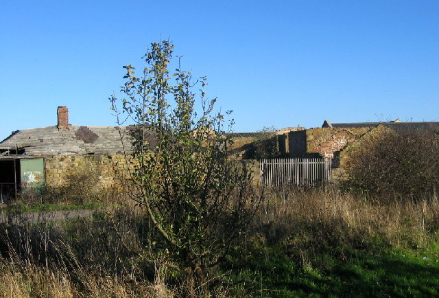
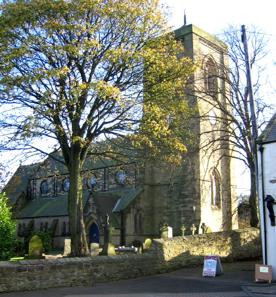
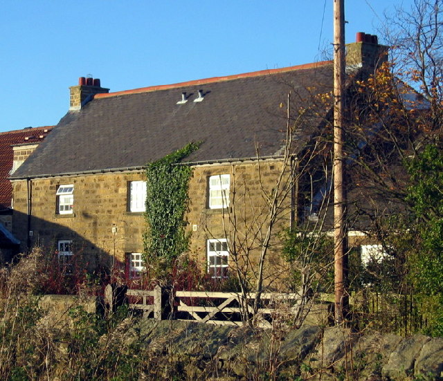
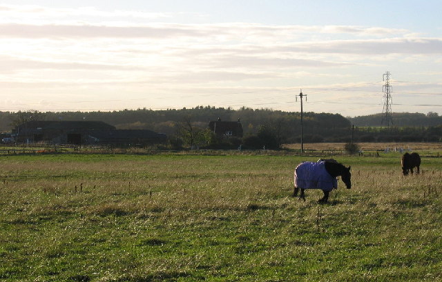
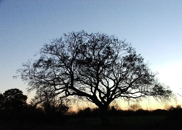
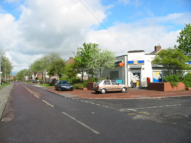
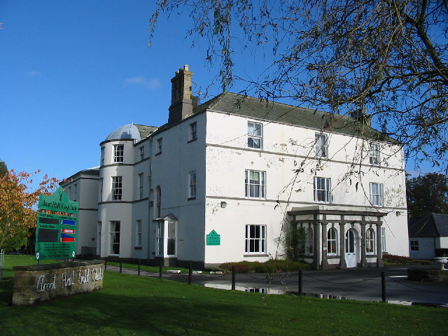
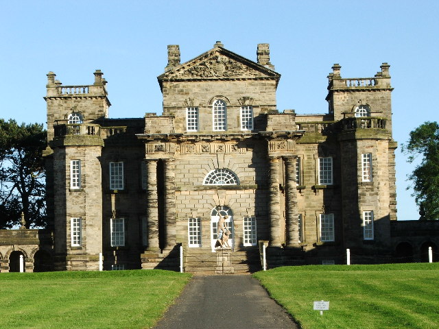
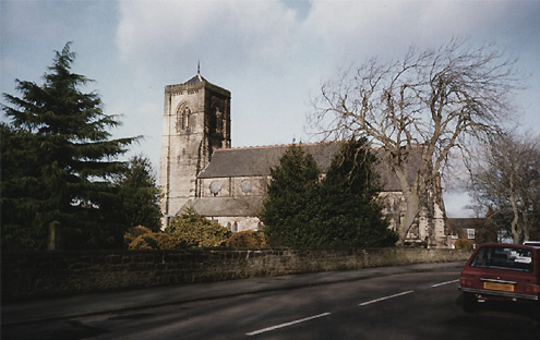
Whitelea Dale Images
Images are sourced within 2km of 55.082636/-1.5932734 or Grid Reference NZ2676. Thanks to Geograph Open Source API. All images are credited.
Whitelea Dale is located at Grid Ref: NZ2676 (Lat: 55.082636, Lng: -1.5932734)
Unitary Authority: Northumberland
Police Authority: Northumbria
What 3 Words
///spoke.being.couches. Near Cramlington, Northumberland
Related Wikis
Seaton Valley
Seaton Valley is a civil parish at the south eastern corner of Northumberland, consisting of four villages lying between Cramlington, Blyth and Whitley...
Cramlington
Cramlington is a town and civil parish in Northumberland, England, 6 miles (9.7 kilometres) north of Newcastle upon Tyne, and 10 miles (16 kilometres)...

Beaconhill
Beaconhill is a housing estate in Northumberland, in England. It is in the west of Cramlington, north of Newcastle upon Tyne. It is served by a primary...

Cramlington railway station
Cramlington is a railway station on the East Coast Main Line, which runs between London King's Cross and Edinburgh Waverley. The station, situated 9 miles...
Cramlington Learning Village
Cramlington Learning Village, formerly Cramlington Community High School, is a large high school with academy status in Cramlington, Northumberland, England...
Stonelaw Middle School
Stonelaw County Middle School was a middle school in Cramlington, Northumberland, England, normally referred to as Stonelaw. Operating under the three...

Parkside Middle School, Cramlington
Parkside Middle School was a school in Cramlington, United Kingdom from its foundation in 1909 until 2008, when it closed as middle school functions in...

Arcot Hall Grasslands and Ponds
Arcot Hall Grasslands and Ponds is the name given to a Site of Special Scientific Interest (SSSI) near Cramlington in Northumberland, England, notable...
Nearby Amenities
Located within 500m of 55.082636,-1.5932734Have you been to Whitelea Dale?
Leave your review of Whitelea Dale below (or comments, questions and feedback).