Bamville Wood
Settlement in Hertfordshire St. Albans
England
Bamville Wood

Bamville Wood, located in Hertfordshire, is a picturesque woodland area renowned for its natural beauty and diverse wildlife. Covering an area of approximately 50 hectares, the wood is situated in close proximity to the village of Bamville, lending its name to the natural reserve.
The wood boasts a rich history dating back centuries, with evidence of human habitation and land use tracing back to the Roman period. Today, it is owned and managed by the Hertfordshire County Council, who have implemented measures to preserve the area's unique ecological features.
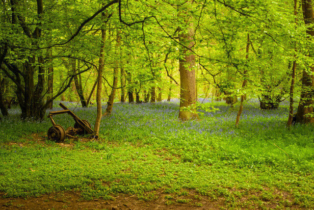
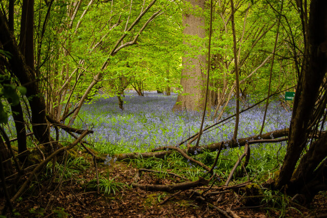
As visitors traverse the woodland, they are greeted by a dense canopy of trees, predominantly consisting of oak, beech, and hornbeam. The trees provide a habitat for a wide range of flora and fauna, including bluebells, wood anemones, and various species of ferns. Birdwatchers can spot an array of avian species such as woodpeckers, tawny owls, and nuthatches, among others.
Furthermore, Bamville Wood offers several well-maintained footpaths and trails, allowing visitors to explore the area at their leisure. The wood also features a small pond, home to frogs, newts, and other amphibians.
Nature enthusiasts and families alike can enjoy the tranquility and natural beauty of Bamville Wood, making it a popular destination for walking, picnicking, and wildlife observation. With its rich history and diverse ecosystem, Bamville Wood is a true gem of Hertfordshire's natural landscape.
If you have any feedback on the listing, please let us know in the comments section below.
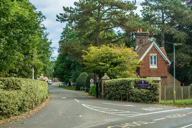
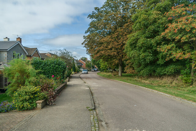
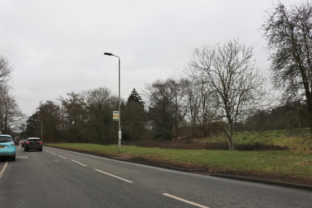
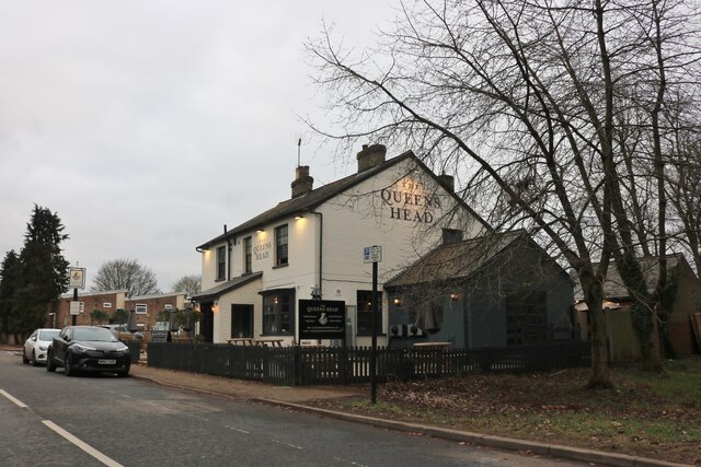
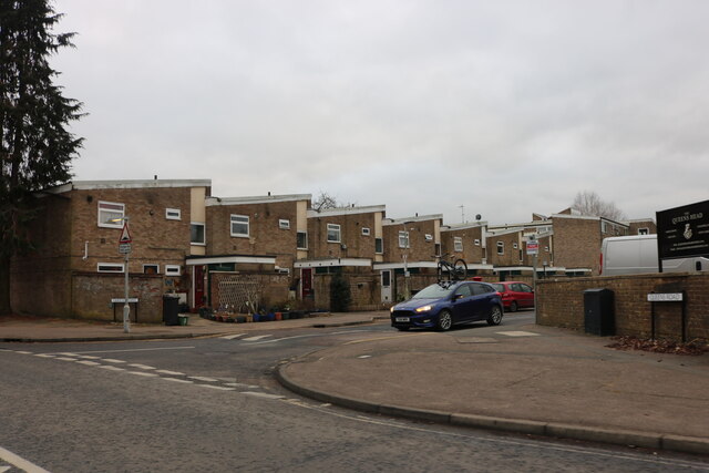
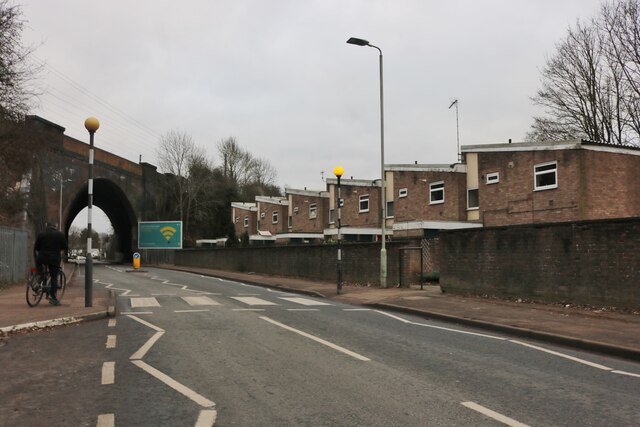
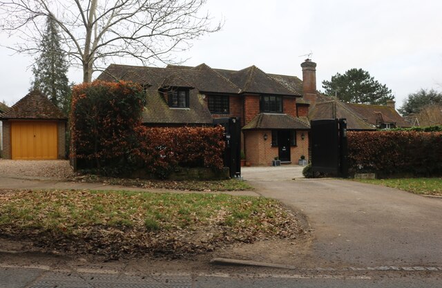
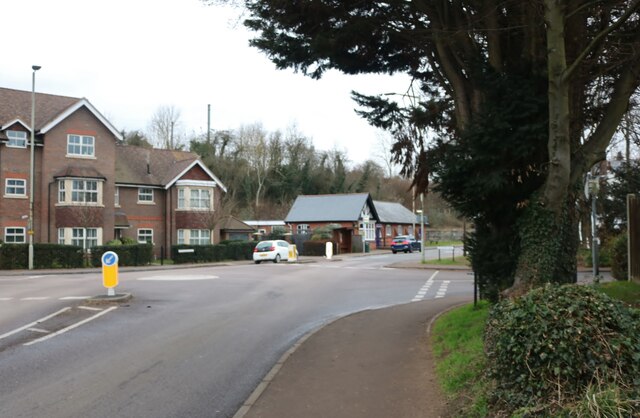
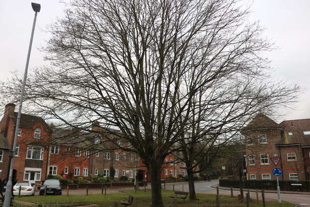
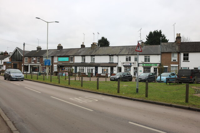
Bamville Wood Images
Images are sourced within 2km of 51.796374/-0.34393883 or Grid Reference TL1412. Thanks to Geograph Open Source API. All images are credited.

Bamville Wood is located at Grid Ref: TL1412 (Lat: 51.796374, Lng: -0.34393883)
Administrative County: Hertfordshire
District: St. Albans
Police Authority: Hertfordshire
What 3 Words
///cattle.also.wires. Near Harpenden, Hertfordshire
Nearby Locations
Related Wikis

Harpenden Common Golf Club
Harpenden Common Golf Club is a private members' golf club in Harpenden, Hertfordshire. Although golf has been played on Harpenden Common since 1895, Harpenden...

Childwickbury Stud
Childwickbury Stud is a Thoroughbred horse breeding farm near St Albans, Hertfordshire, England. Originally built in 1888 by Sir John Blundell Maple as...
Ahm House
The Ahm House at 44 West Common Way is a house in Harpenden in Hertfordshire, England. It was built between 1961 and 1963 by the structural engineer Povl...
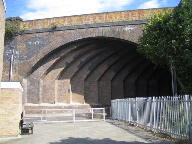
Southdown Road Skew Bridge
Southdown Road Skew Bridge is a ribbed skew arch railway bridge, which carries the Midland Main Line across Southdown Road in Harpenden, Hertfordshire...
Nearby Amenities
Located within 500m of 51.796374,-0.34393883Have you been to Bamville Wood?
Leave your review of Bamville Wood below (or comments, questions and feedback).