Fovant Close Community Orchard
Wood, Forest in Hertfordshire St. Albans
England
Fovant Close Community Orchard

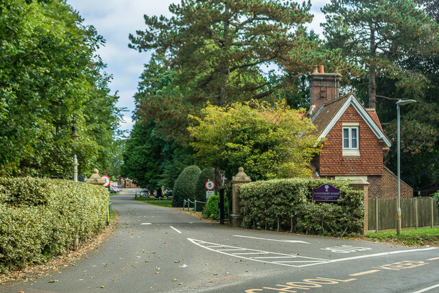
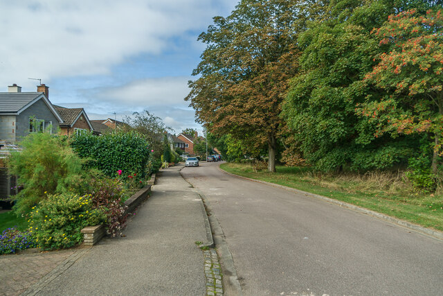
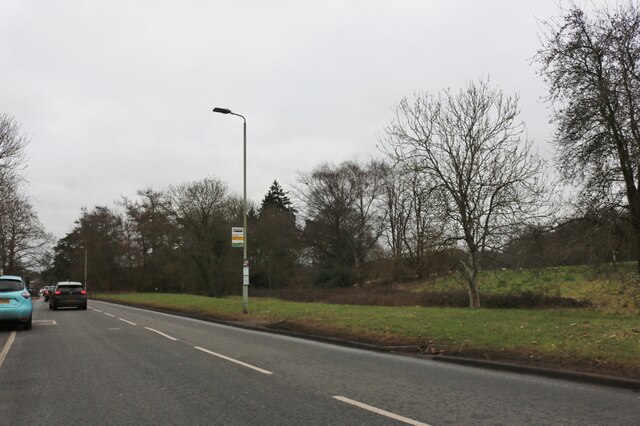
Fovant Close Community Orchard is a peaceful and picturesque woodland located in Hertfordshire, England. Situated in close proximity to the village of Fovant, this community-managed forest covers an area of approximately 10 acres, encompassing a diverse range of trees, plants, and wildlife.
The orchard is primarily composed of native British tree species, including oak, beech, ash, and birch, which are carefully maintained and managed by a dedicated group of volunteers from the local community. These volunteers regularly organize tree planting sessions, ensuring the continuous growth and development of the woodland.
The forest offers a tranquil escape from the hustle and bustle of urban life, providing a serene environment for visitors to relax and enjoy nature. Walking trails wind through the woods, allowing visitors to explore and discover the diverse flora and fauna that call the orchard home. The forest floor is adorned with a variety of wildflowers during the spring and summer months, creating a vibrant and colorful landscape.
Fovant Close Community Orchard also serves as an important habitat for a wide range of wildlife, including squirrels, hedgehogs, and numerous species of birds. The forest's rich biodiversity makes it an attractive destination for nature enthusiasts and birdwatchers.
In addition to its natural beauty, the orchard is also a venue for community events and activities. Throughout the year, the local community organizes picnics, educational workshops, and art exhibitions in the forest, creating a sense of unity and belonging.
Overall, Fovant Close Community Orchard is a cherished natural gem in Hertfordshire, offering a peaceful retreat for nature lovers and a vibrant hub for community engagement.
If you have any feedback on the listing, please let us know in the comments section below.
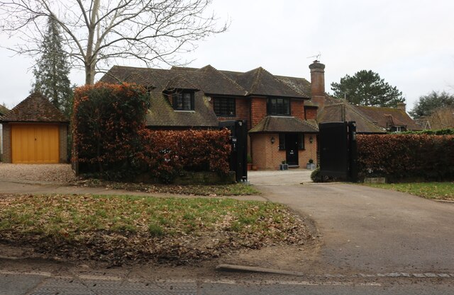
Fovant Close Community Orchard Images
Images are sourced within 2km of 51.803229/-0.34226625 or Grid Reference TL1412. Thanks to Geograph Open Source API. All images are credited.


Fovant Close Community Orchard is located at Grid Ref: TL1412 (Lat: 51.803229, Lng: -0.34226625)
Administrative County: Hertfordshire
District: St. Albans
Police Authority: Hertfordshire
What 3 Words
///tonic.ports.assume. Near Harpenden, Hertfordshire
Nearby Locations
Related Wikis

Harpenden Common Golf Club
Harpenden Common Golf Club is a private members' golf club in Harpenden, Hertfordshire. Although golf has been played on Harpenden Common since 1895, Harpenden...
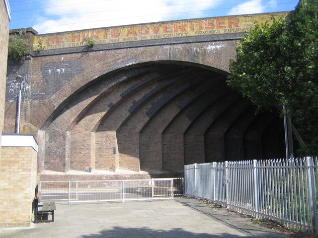
Southdown Road Skew Bridge
Southdown Road Skew Bridge is a ribbed skew arch railway bridge, which carries the Midland Main Line across Southdown Road in Harpenden, Hertfordshire...

Rothamsted Research
Rothamsted Research, previously known as the Rothamsted Experimental Station and then the Institute of Arable Crops Research, is one of the oldest agricultural...

Aldwickbury School
Aldwickbury School is a 4–13 boys private preparatory school located on the outskirts of Harpenden, Hertfordshire in the United Kingdom. Aldwickbury School...

Ahm House
The Ahm House at 44 West Common Way is a house in Harpenden in Hertfordshire, England. It was built between 1961 and 1963 by the structural engineer Povl...

Harpenden railway station
Harpenden railway station is on the Midland Main Line in England, serving the town of Harpenden, Hertfordshire. It is 24 miles 51 chains (39.7 km) down...

Rothamsted Park
Rothamsted Park is a 56-acre (230,000 m2) public park in Harpenden, Hertfordshire. == History == The park was formerly part of the Manor of Rothamsted...
Harpenden Town F.C.
Harpenden Town Football Club is a football club based in Harpenden, Hertfordshire, England. They are currently members of the Spartan South Midlands League...
Nearby Amenities
Located within 500m of 51.803229,-0.34226625Have you been to Fovant Close Community Orchard?
Leave your review of Fovant Close Community Orchard below (or comments, questions and feedback).