Balsam Field
Settlement in Norfolk King's Lynn and West Norfolk
England
Balsam Field
Balsam Field is a small village located in Norfolk, England. Situated in the South Norfolk district, it lies approximately 15 miles south of the city of Norwich. The village is surrounded by picturesque countryside, with lush green fields and rolling hills, making it an idyllic rural retreat.
Balsam Field is home to a close-knit community, with a population of around 500 residents. The village has a rich history, dating back to medieval times, and evidence of its past can still be seen in the charming architecture of the old buildings that line its streets.
The heart of Balsam Field is its village square, where the local pub, The Balsam Inn, sits. This traditional English pub is a popular gathering spot for locals and visitors alike, offering a cozy atmosphere and a selection of traditional pub food and beverages.
The village also boasts a small primary school, Balsam Field Primary, which provides education for children aged 4 to 11. The school prides itself on its nurturing environment and high academic standards.
For outdoor enthusiasts, Balsam Field offers ample opportunities for exploration. The nearby Norfolk Broads, a network of rivers, lakes, and marshland, provide a stunning backdrop for boating, fishing, and bird-watching. The village is also surrounded by numerous walking and cycling trails, allowing residents to fully immerse themselves in the natural beauty of the area.
In summary, Balsam Field is a quaint village in Norfolk, England, known for its picturesque countryside, rich history, and strong sense of community. With its charming architecture, local pub, and access to stunning natural landscapes, it is a truly delightful place to live or visit.
If you have any feedback on the listing, please let us know in the comments section below.
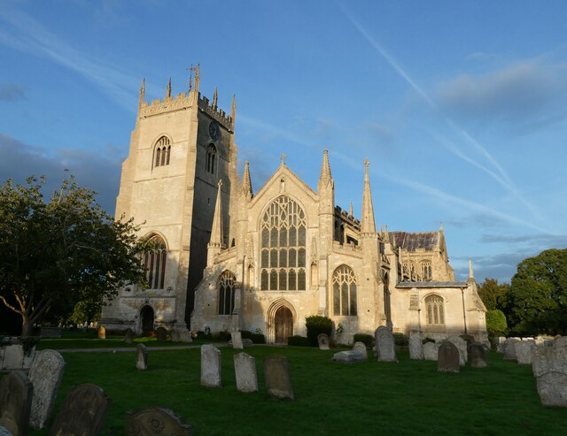
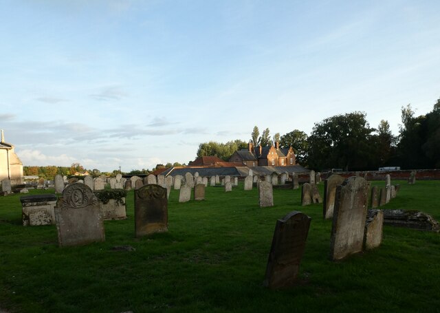
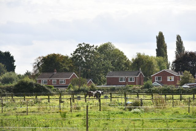
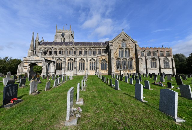
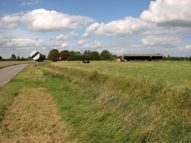
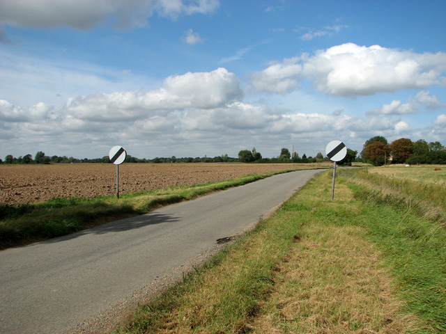
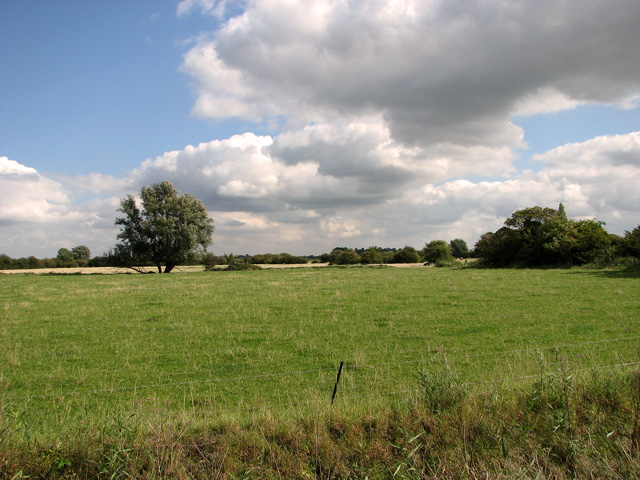
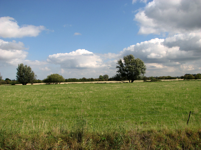
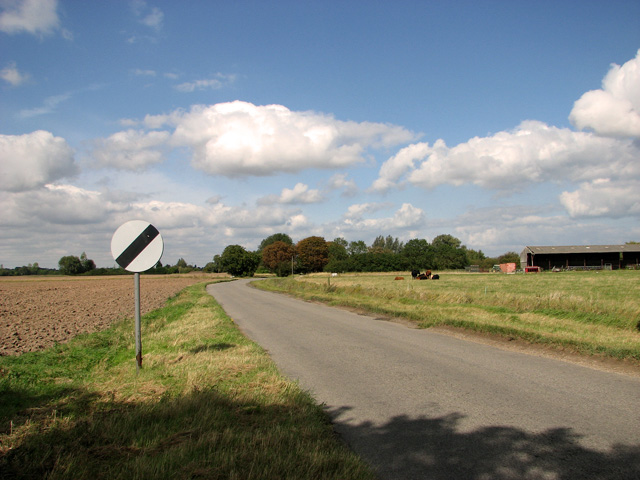
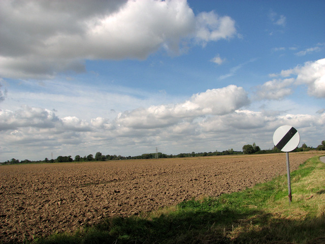
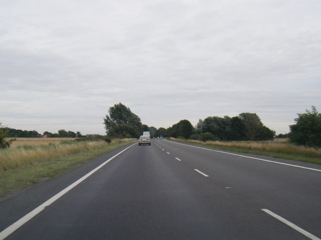
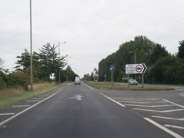
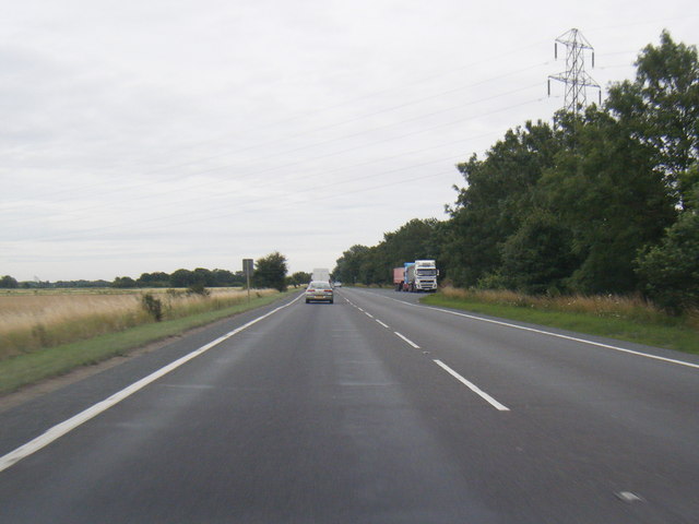
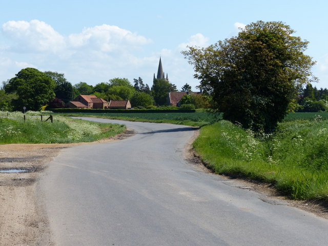
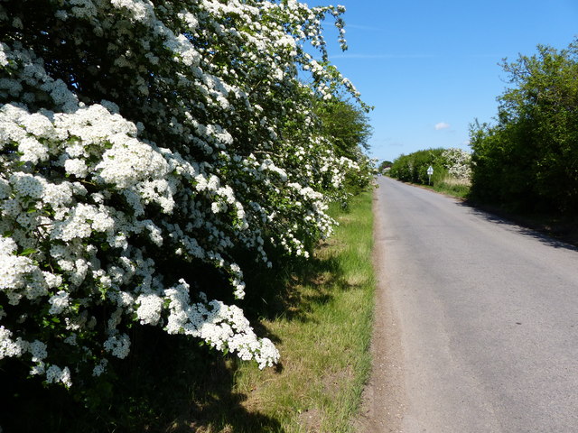
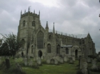
Balsam Field Images
Images are sourced within 2km of 52.74822/0.29554153 or Grid Reference TF5519. Thanks to Geograph Open Source API. All images are credited.
Balsam Field is located at Grid Ref: TF5519 (Lat: 52.74822, Lng: 0.29554153)
Administrative County: Norfolk
District: King's Lynn and West Norfolk
Police Authority: Norfolk
What 3 Words
///phones.relished.bicker. Near Terrington St Clement, Norfolk
Nearby Locations
Related Wikis

Terrington railway station
Terrington railway station is a former station in Terrington St Clement, Norfolk. It opened in 1866 and was closed in 1959. It was on the Midland and Great...

Terrington St Clement
Terrington St Clement is a village and civil parish in King's Lynn and West Norfolk borough and district in Norfolk, England. It is in the drained marshlands...
St Clement's High School
St Clement's High School is a coeducational secondary school with academy status, located in the village of Terrington St Clement, in the English county...
Bellmount
Bellmount is a village in Norfolk, England.

Tilney All Saints
Tilney All Saints is a civil parish in the English county of Norfolk. It covers an area of 11.56 km2 (4.46 sq mi) and had a population of 563 in 230 households...
Clenchwarton railway station
Clenchwarton Railway Station is a former train station in Clenchwarton, Norfolk. It was part of the Midland and Great Northern Joint Railway line from...
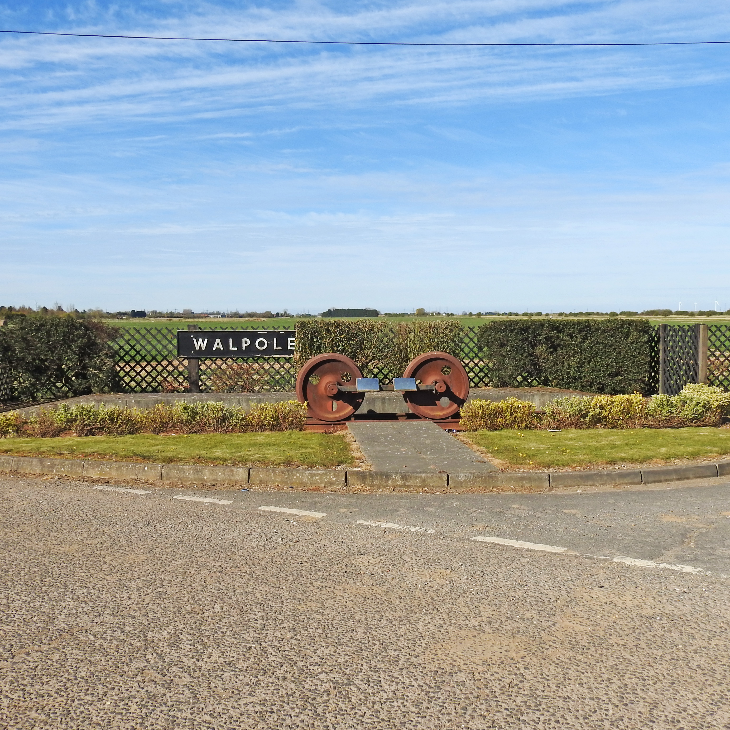
Walpole railway station (England)
Walpole railway station was a station in Norfolk. It is now disused. First opened in 1882, it was part of the Midland and Great Northern Joint Railway...
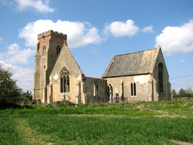
St Mary's Church, Islington, Norfolk
St Mary's Church is a ruined redundant Anglican church in the civil parish of Tilney St Lawrence, Norfolk, England. It is recorded in the National Heritage...
Nearby Amenities
Located within 500m of 52.74822,0.29554153Have you been to Balsam Field?
Leave your review of Balsam Field below (or comments, questions and feedback).