Third Spellow Field
Downs, Moorland in Norfolk King's Lynn and West Norfolk
England
Third Spellow Field

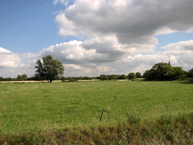
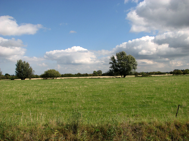
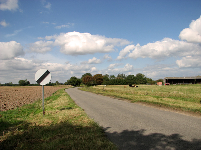
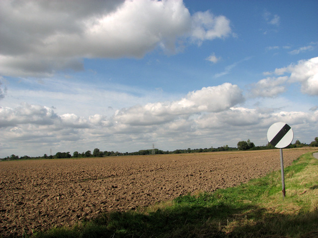
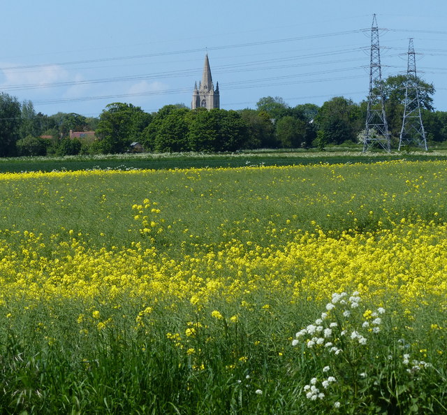
Third Spellow Field is a vast and diverse natural area located in Norfolk, England. It encompasses both downs and moorland landscapes, providing a wide range of habitats for various flora and fauna. The field is situated near the village of Spellow, contributing to its name.
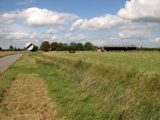
The downs portion of Third Spellow Field features gently rolling hills covered in short grasses and scattered shrubs. This habitat supports a variety of plant species, including different types of wildflowers and grasses. The downs provide an ideal environment for grazing animals such as sheep and rabbits.
On the other hand, the moorland area showcases a more rugged and wild terrain. It consists of heathland with patches of bog and marsh, characterized by low-growing shrubs, heather, and mosses. This unique ecosystem attracts a range of bird species, including skylarks and meadow pipits, as well as small mammals like voles and shrews.
Third Spellow Field is not only a haven for wildlife but also offers picturesque views and opportunities for outdoor activities. Visitors can enjoy walking along the footpaths that wind through the downs and moorland, taking in the serenity and natural beauty of the surroundings.
Managed by the local conservation authority, Third Spellow Field aims to preserve and protect the diverse habitats it encompasses. Conservation efforts include controlled grazing, maintaining footpaths, and monitoring the wildlife population. These endeavors ensure that the field remains a vital and ecologically significant area within the Norfolk landscape.
If you have any feedback on the listing, please let us know in the comments section below.
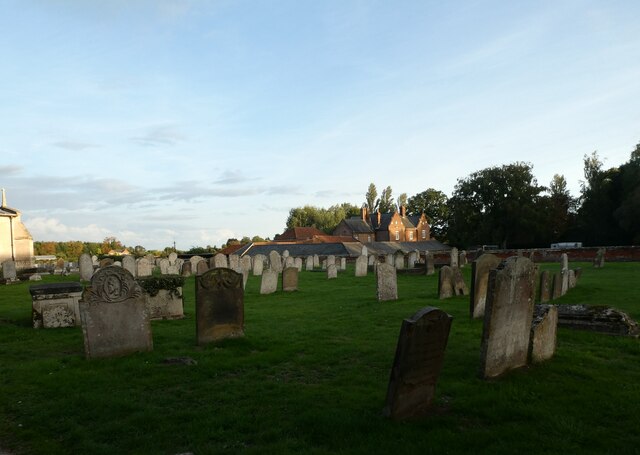
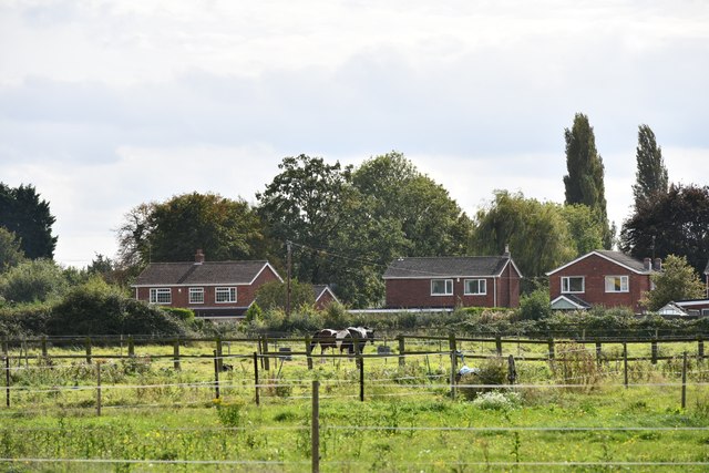
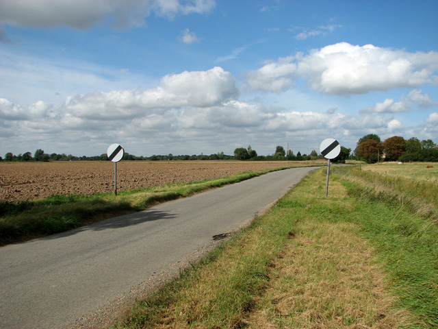
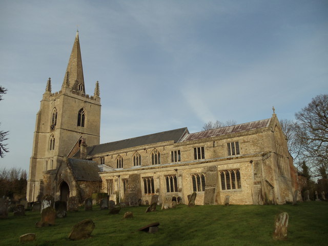
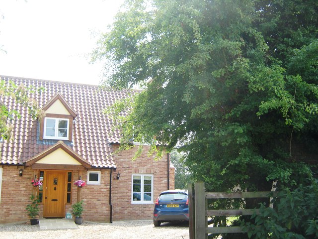
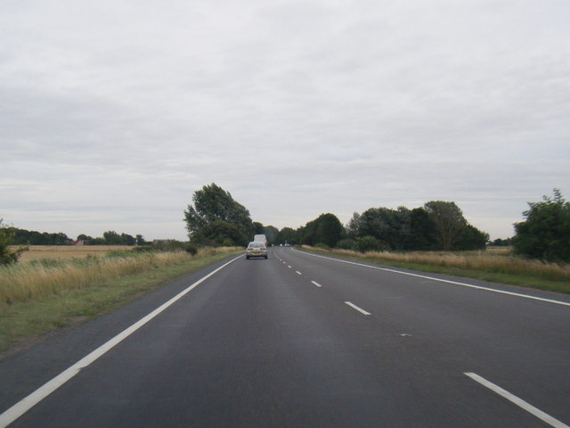
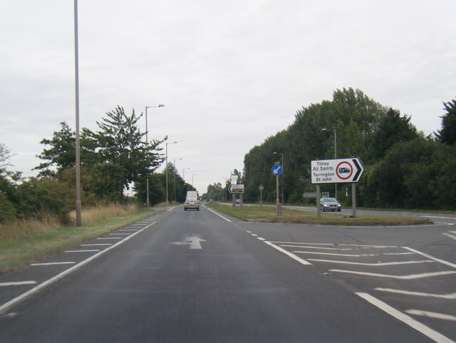
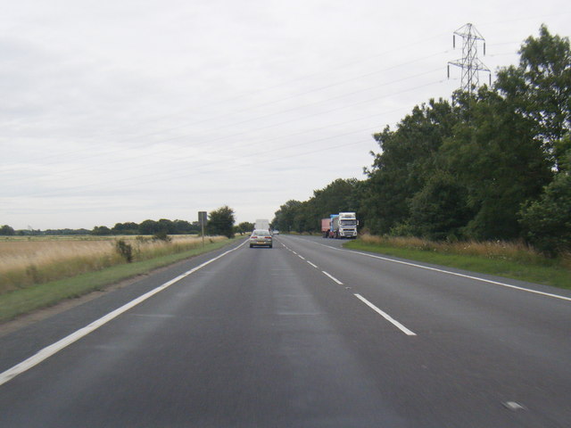
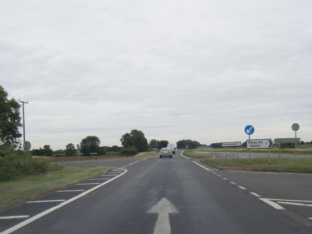
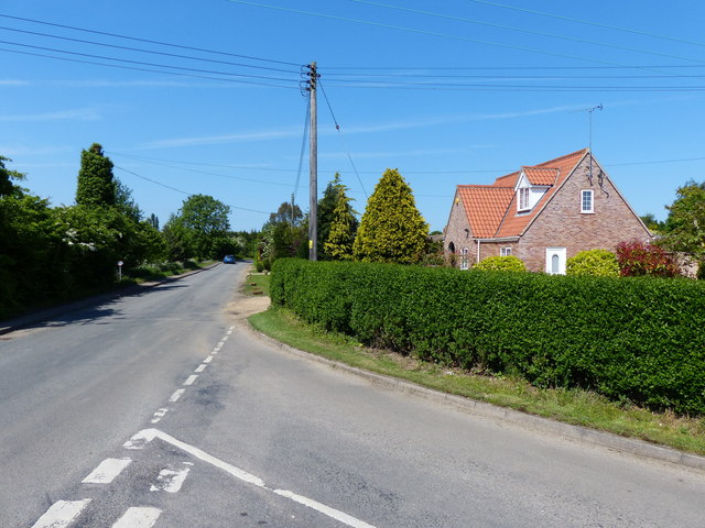
Third Spellow Field Images
Images are sourced within 2km of 52.748709/0.30785113 or Grid Reference TF5519. Thanks to Geograph Open Source API. All images are credited.

Third Spellow Field is located at Grid Ref: TF5519 (Lat: 52.748709, Lng: 0.30785113)
Administrative County: Norfolk
District: King's Lynn and West Norfolk
Police Authority: Norfolk
What 3 Words
///decreased.than.clockwork. Near Terrington St Clement, Norfolk
Nearby Locations
Related Wikis

Terrington railway station
Terrington railway station is a former station in Terrington St Clement, Norfolk. It opened in 1866 and was closed in 1959. It was on the Midland and Great...

Terrington St Clement
Terrington St Clement is a village and civil parish in King's Lynn and West Norfolk borough and district in Norfolk, England. It is in the drained marshlands...
Clenchwarton railway station
Clenchwarton Railway Station is a former train station in Clenchwarton, Norfolk. It was part of the Midland and Great Northern Joint Railway line from...

Tilney All Saints
Tilney All Saints is a civil parish in the English county of Norfolk. It covers an area of 11.56 km2 (4.46 sq mi) and had a population of 563 in 230 households...
St Clement's High School
St Clement's High School is a coeducational secondary school with academy status, located in the village of Terrington St Clement, in the English county...
Bellmount
Bellmount is a village in Norfolk, England.
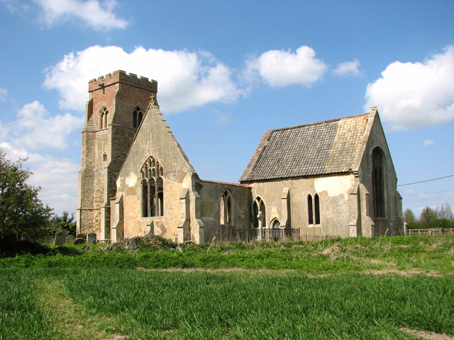
St Mary's Church, Islington, Norfolk
St Mary's Church is a ruined redundant Anglican church in the civil parish of Tilney St Lawrence, Norfolk, England. It is recorded in the National Heritage...

Clenchwarton
Clenchwarton is a village, civil parish and electoral ward in the English county of Norfolk. It is located about 1+1⁄4 miles (2 km) west of the River Great...
Nearby Amenities
Located within 500m of 52.748709,0.30785113Have you been to Third Spellow Field?
Leave your review of Third Spellow Field below (or comments, questions and feedback).