Balruddery
Settlement in Angus
Scotland
Balruddery

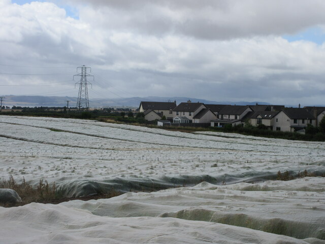
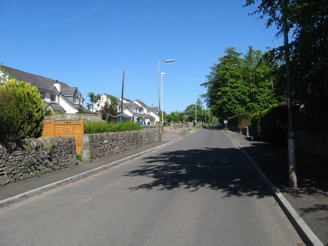
Balruddery is a small rural village located in the county of Angus, Scotland. Situated approximately 4 miles northwest of Dundee, it lies within the fertile Strathmore Valley, surrounded by picturesque farmland and rolling hills. The village is home to a close-knit community of around 200 residents.
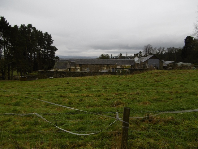
Historically, Balruddery has deep roots, dating back to medieval times when it was known as "Balruddery Castle." The remains of the castle, which was built in the 16th century, can still be seen today. The village itself developed around the castle, with many of the houses and buildings exhibiting traditional Scottish architecture.
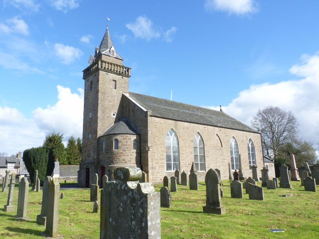
Despite its small size, Balruddery offers a range of amenities to its residents. These include a local primary school, a village hall, and a charming parish church. The village also benefits from its proximity to Dundee, which provides access to a wider range of services, including shops, supermarkets, and healthcare facilities.
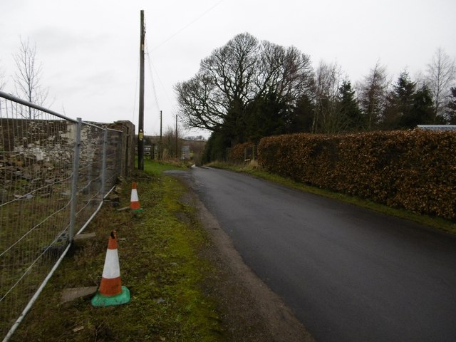
Surrounded by stunning natural landscapes, Balruddery is a haven for outdoor enthusiasts. The area offers numerous walking and cycling trails, allowing residents and visitors to explore the beautiful countryside. Additionally, the nearby Sidlaw Hills provide opportunities for hiking and wildlife spotting.
In summary, Balruddery is a tranquil and historic village nestled in the heart of rural Angus. With its rich history, beautiful surroundings, and strong sense of community, it is a delightful place to call home.
If you have any feedback on the listing, please let us know in the comments section below.
Balruddery Images
Images are sourced within 2km of 56.472277/-3.1148152 or Grid Reference NO3131. Thanks to Geograph Open Source API. All images are credited.


Balruddery is located at Grid Ref: NO3131 (Lat: 56.472277, Lng: -3.1148152)
Unitary Authority: Angus
Police Authority: Tayside
What 3 Words
///clattered.mirroring.lordship. Near Longforgan, Perth & Kinross
Nearby Locations
Related Wikis
Balruddery
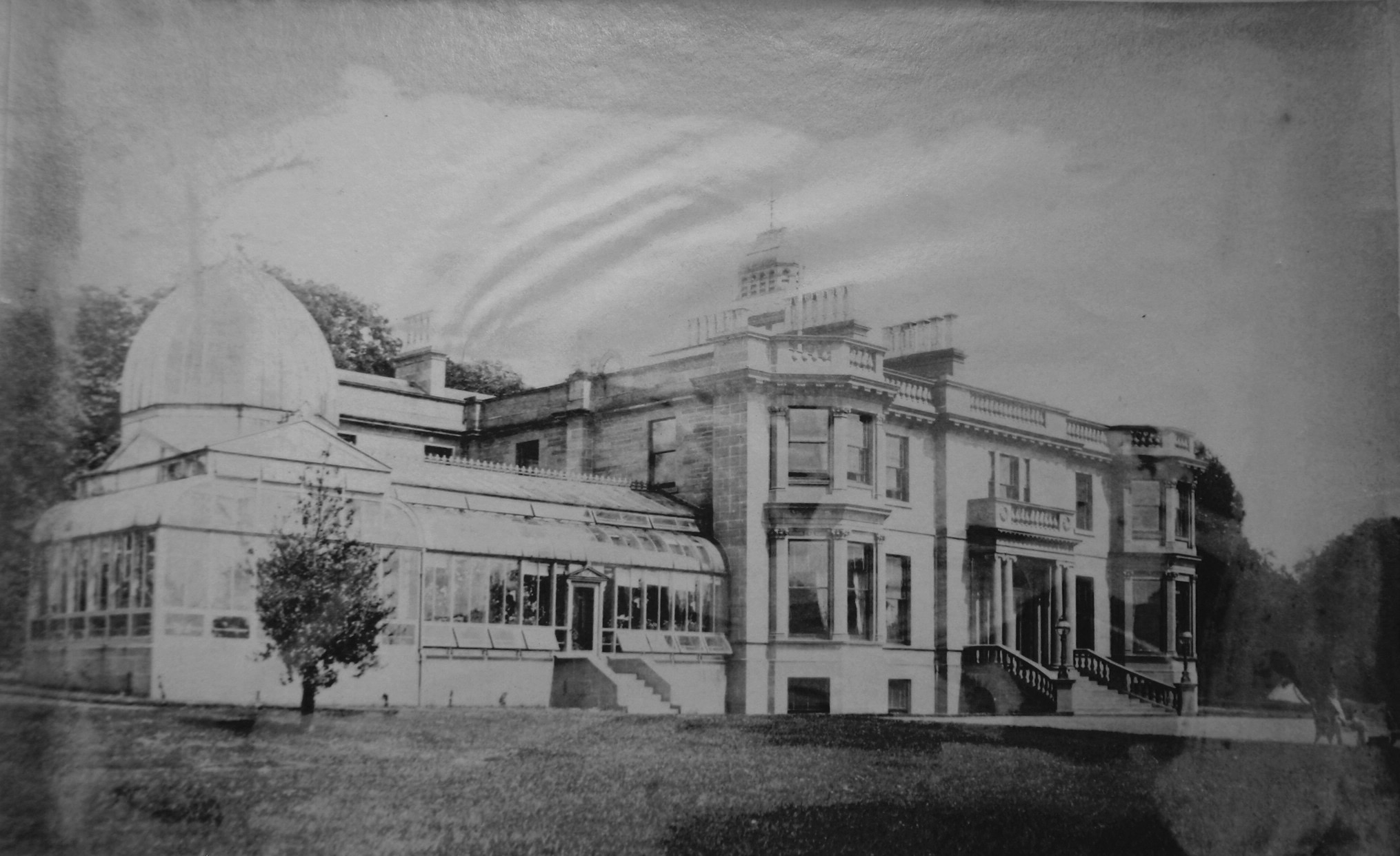
Balruddery House by Longforgan in Perthshire, Scotland, was designed by David Neave for James Webster circa 1820. In about 1879 it was bought by James...
Longforgan
Longforgan is a village and parish in the Carse of Gowrie, in Perth and Kinross, Scotland. It lies 5 miles (8 kilometres) west of Dundee on the main A90...

Fowlis Castle
Fowlis Castle is situated five miles north-west of Dundee, Scotland, in the hamlet of Fowlis. It is a tower house dating from the seventeenth century....
Liff, Angus
Liff is a village in Angus, Scotland, situated 4+1⁄2 miles (7 kilometres) west-northwest of Dundee on a south-facing slope two miles (three kilometres...

HM Prison Castle Huntly
Castle Huntly is a castle in Scotland, now used as a prison under the name HMP Castle Huntly. It is located approximately 7 miles (11 km) west of Dundee...

Knapp, Perthshire
Knapp is a hamlet in Perth and Kinross, Scotland. It is located to the northeast of Inchture, about 9.7 miles (15.6 km) by road west of the city centre...

Royal Dundee Liff Hospital
The Royal Dundee Liff Hospital, previously known as Dundee Lunatic Asylum and Dundee Royal Lunatic Asylum, was a mental health facility originally established...
Longforgan railway station
Longforgan railway station served the village of Longforgan, Perth and Kinross, Scotland from 1847 to 1956 on the Dundee and Perth Railway. == History... ==
Related Videos
A walk near Dundee, Scotland
Finding new paths to walk by Invergowrie and talking about a newfound love of Dundee. This is what Lockdown looks like in this ...
Spring Road Trip Drive East Shore Road On History To Parish Church Invergowrie Perthshire Scotland
Tour Scotland 4K Spring travel video of a road trip drive, with Scottish music, East on Shore Road through Kingoodie on ancestry, ...

Spring Road Trip Drive With Bagpipes Music On History Visit To Invergowrie Perthshire Scotland
Tour Scotland 4K Spring Easter Holiday Weekend travel video of a road trip drive, with Scottish bagpipes music, on ancestry, ...

Nearby Amenities
Located within 500m of 56.472277,-3.1148152Have you been to Balruddery?
Leave your review of Balruddery below (or comments, questions and feedback).