Balsham

Settlement in Cambridgeshire South Cambridgeshire

England

Balsham

West Wickham Road The Balsham water tower can be seen in the far distance.
West Wickham Road Credit: Robert Edwards

Balsham is a quaint village located in the county of Cambridgeshire, England. Situated approximately 14 miles southeast of the city of Cambridge, it lies on the outskirts of the Cambridgeshire Downs, surrounded by picturesque countryside. As of the 2011 census, Balsham had a population of around 1,500 residents.

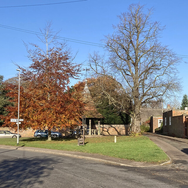
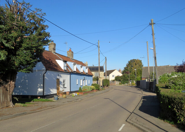
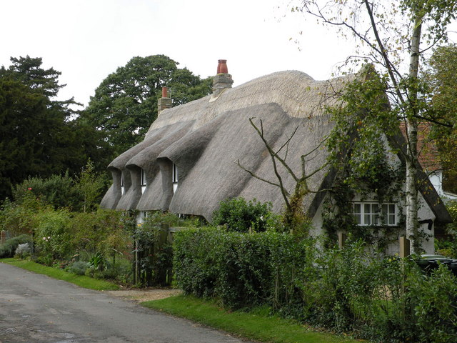
The village is known for its historic charm, with many of its buildings dating back several centuries. One notable landmark is the Grade I listed parish church of All Saints, which showcases stunning architectural features and is a popular spot for visitors. Additionally, Balsham boasts a number of traditional thatched cottages, giving it a quintessentially English feel.

Despite its relatively small size, Balsham offers a range of amenities to its residents. The village has a primary school, a village hall, a post office, and a convenience store, ensuring that essential services are easily accessible. There are also a few pubs and restaurants in the area, providing locals and visitors with dining options.

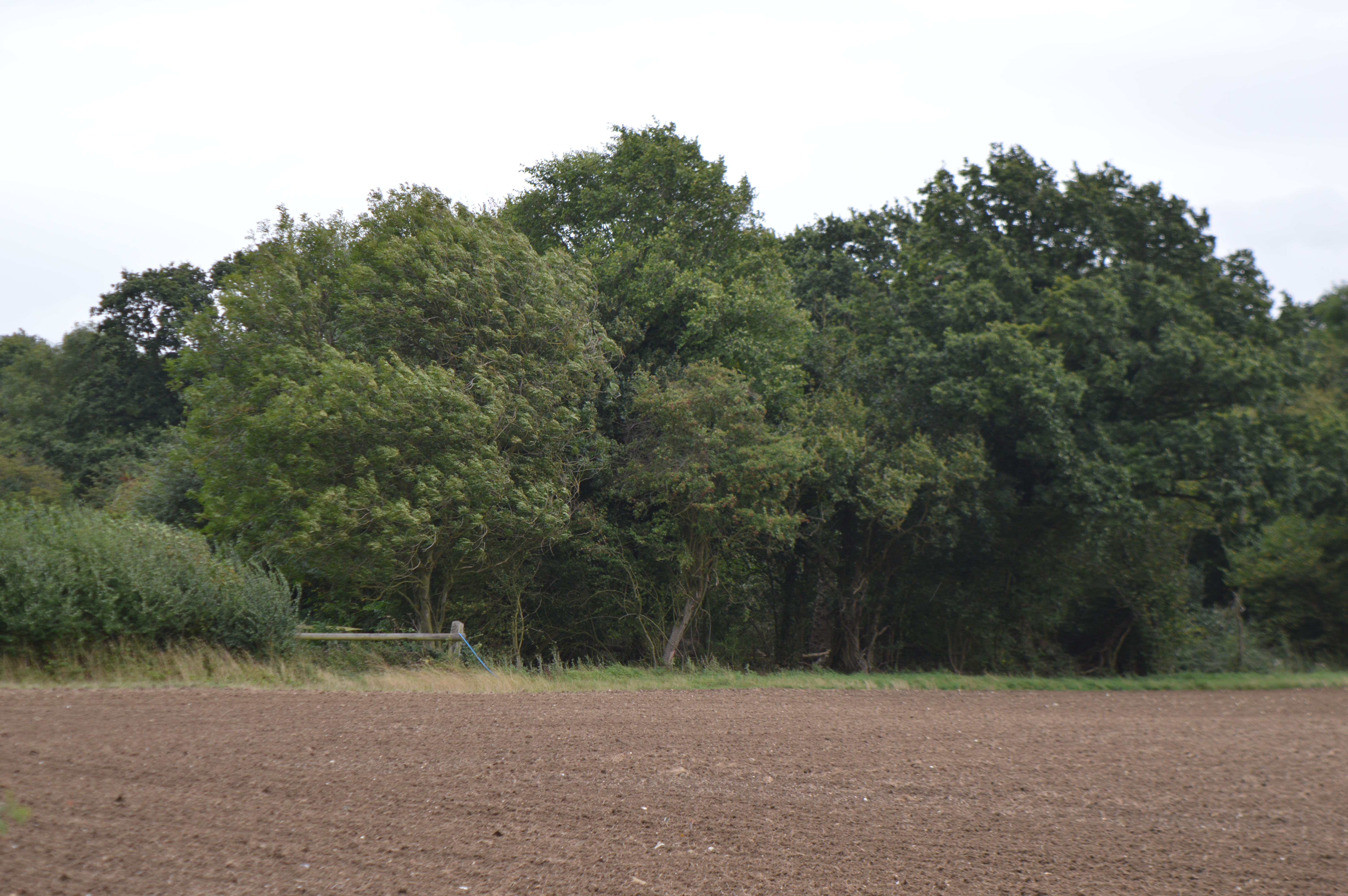
For outdoor enthusiasts, Balsham is surrounded by beautiful countryside, making it ideal for long walks and bike rides. The village is also conveniently located near several nature reserves and country parks, offering opportunities for wildlife spotting and nature exploration.

Overall, Balsham is a charming village that combines historical appeal with natural beauty, making it an attractive place to live or visit for those seeking a peaceful escape from the bustling city life.

If you have any feedback on the listing, please let us know in the comments section below.
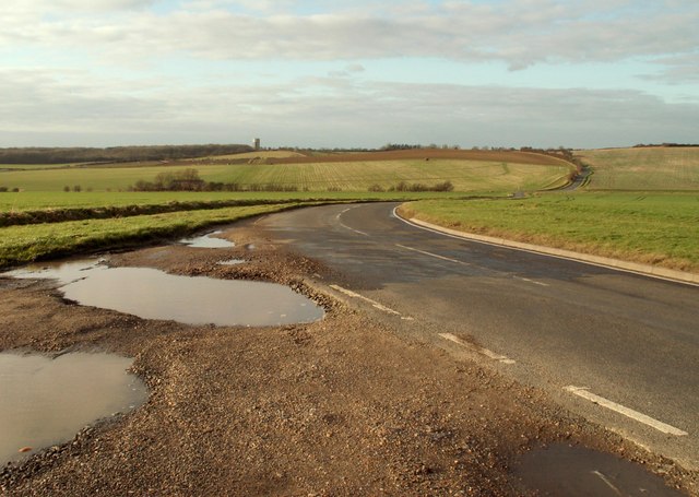
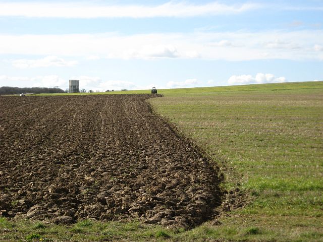
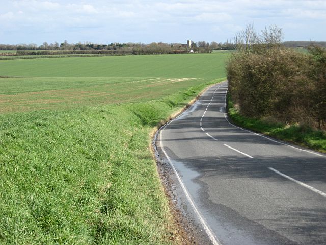
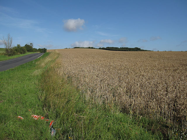
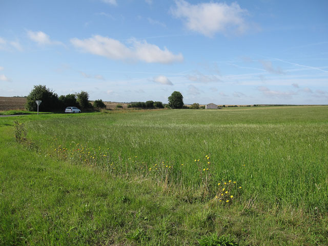
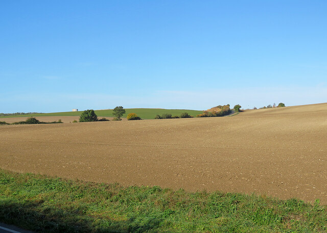
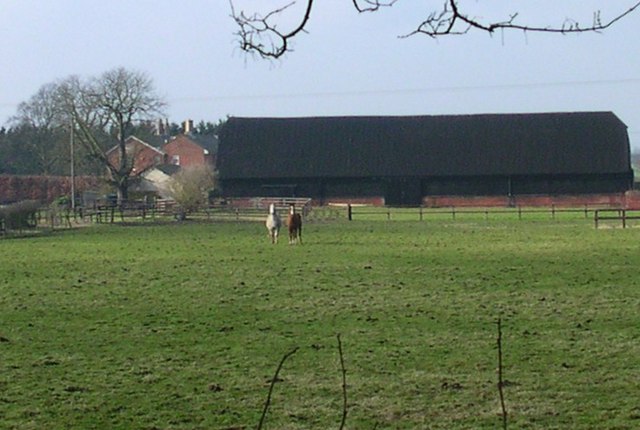
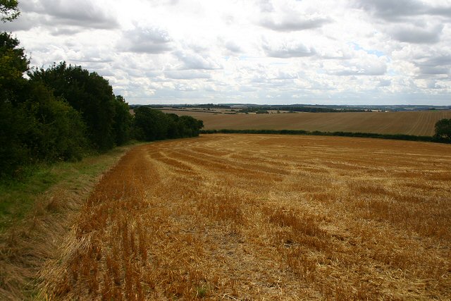
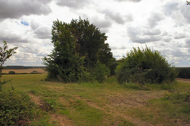
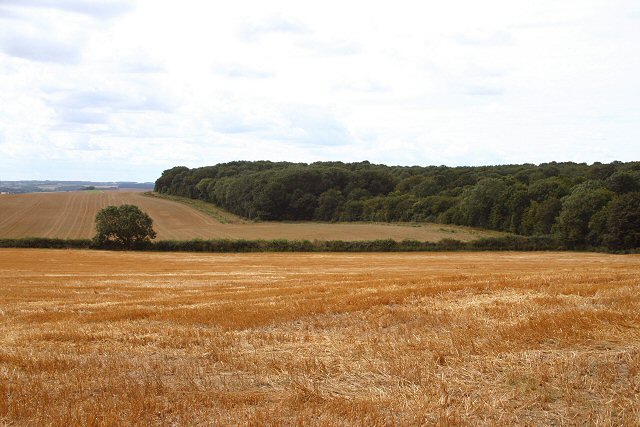
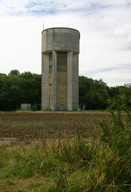
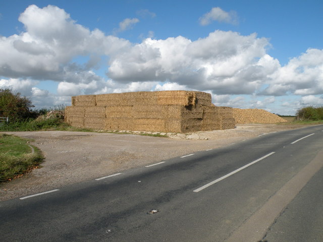
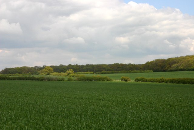
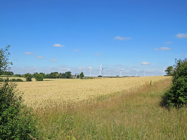
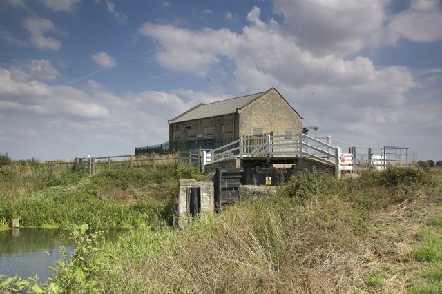
Balsham Images

Images are sourced within 2km of 52.132811/0.31559573 or Grid Reference TL5850. Thanks to Geograph Open Source API. All images are credited.

West Wickham Road The Balsham water tower can be seen in the far distance.
West Wickham Road
The Balsham water tower can be seen in the far distance.
Half-ploughed field
Half-ploughed field
View down the Balsham-West Wickham Road The tower of West Wickham church is visible on the horizon
View down the Balsham-West Wickham Road
The tower of West Wickham church is visible on the horizon
Road to Balsham With a wheat field almost ready to harvest and a broken road sign.
Road to Balsham
With a wheat field almost ready to harvest and a broken road sign.
Grassy field Looking along the road south towards the A1307.
Grassy field
Looking along the road south towards the A1307.
Autumn fields between West Wickham and Balsham A view from Mill Road, with Balsham Water Tower showing on the skyline to the left. The hedgerow on the far side of this large field lines West Wickham Road.
Autumn fields between West Wickham and Balsham
A view from Mill Road, with Balsham Water Tower showing on the skyline to the left. The hedgerow on the far side of this large field lines West Wickham Road.
Distant Horizons. Looking NW from opposite the entrance to Yole Farm
Distant Horizons.
Looking NW from opposite the entrance to Yole Farm
Footpath to West Wickham At this point a byway becomes a footpath, following the edge of the field.
Footpath to West Wickham
At this point a byway becomes a footpath, following the edge of the field.
Byway to West Wickham The byway runs between the two hedgerows; soon after it becomes a footpath.
Byway to West Wickham
The byway runs between the two hedgerows; soon after it becomes a footpath.
Balsham Wood Viewed from the footpath to West Wickham, south of the village of Balsham.
Balsham Wood
Viewed from the footpath to West Wickham, south of the village of Balsham.
Balsham water tower Owned and managed by the Cambridge Water Company.
Balsham water tower
Owned and managed by the Cambridge Water Company.
Bales'n'Beet at Yole Farm
Arable fields south of Balsham Taken from the Harcamlow Way footpath. Balsham Wood can be seen in the background.
Arable fields south of Balsham
Taken from the Harcamlow Way footpath. Balsham Wood can be seen in the background.
Balsham: the Prince Memorial Shelter The centre of the village on a bright day in November. The shelter dates from 1932 and commemorates William Prince.
Balsham: the Prince Memorial Shelter
The centre of the village on a bright day in November. The shelter dates from 1932 and commemorates William Prince.
Wheatfield and turbines Looking across a wheatfield from beside the Balsham to West Wratting road, the B1052. Eight of the thirteen turbines of Wadlow Wind Farm show against a fine summer sky and parts of Grange Farm show among the trees to the left of centre.
Wheatfield and turbines
Looking across a wheatfield from beside the Balsham to West Wratting road, the B1052. Eight of the thirteen turbines of Wadlow Wind Farm show against a fine summer sky and parts of Grange Farm show among the trees to the left of centre.
Balsham: a stinkpipe on West Wickham Road The sewer vent pipe on the right, near the eastern edge of the village, is the concrete-cased type found in a number of Cambridgeshire villages.
Balsham: a stinkpipe on West Wickham Road
The sewer vent pipe on the right, near the eastern edge of the village, is the concrete-cased type found in a number of Cambridgeshire villages.
Balsham: cottages on West Wickham Road Photographed on a bright October morning.
Balsham: cottages on West Wickham Road
Photographed on a bright October morning.
Show me another place!

Balsham is located at Grid Ref: TL5850 (Lat: 52.132811, Lng: 0.31559573)

Administrative County: Cambridgeshire

District: South Cambridgeshire

Police Authority: Cambridgeshire

What 3 Words

///faster.moth.asked. Near Balsham, Cambridgeshire

Nearby Locations

Balsam Balsham

Related Wikis

South East Cambridgeshire (UK Parliament constituency)

South East Cambridgeshire is a constituency represented in the House of Commons of the UK Parliament since 2015 by Lucy Frazer, a member of the Conservative...

Balsham

Balsham is a rural village and civil parish in the county of Cambridgeshire, England, which has much expanded since the 1960s and is now one of several...

Balsham Wood

Balsham Wood is a 35 hectare biological Site of Special Scientific Interest south of Balsham in Cambridgeshire.This site has one of the last surviving...

Cambridgeshire Lodes

The Cambridgeshire Lodes are a series of man-made waterways, believed to be Roman in origin, located in the county of Cambridgeshire, England. Bottisham...

Shug Monkey

In the folklore of Cambridgeshire, the Shug Monkey is a creature that shares features of a dog and monkey, which reportedly haunted Slough Hill Lane (a...

West Wratting

West Wratting is a village and civil parish 10 miles southeast of Cambridge in Cambridgeshire. At 390 feet (120 m) above sea level, it can claim to be...

West Wickham, Cambridgeshire

West Wickham is a village and civil parish in South Cambridgeshire, England, 10 miles south-east of Cambridge on the border with Suffolk. == History... ==

Rivey Hill

Rivey Hill is a hill overlooking Linton in Cambridgeshire, England (grid reference TL567480). At 367 feet (112 m) it is the highest point for several miles...

Nearby Amenities

Located within 500m of 52.132811,0.31559573
Balsham
Place: village
Population: 1630
Source Population: http://www.scambs.gov.uk/CommunityandLiving/VillageServicesAndAmenities/
Source Ref Name: local knowledge
Wikidata: Q4852574
Lat/Long: 52.1326976/0.3153306
Post Office
Balsham Post Office
Addr Postcode: CB21 4DJ
Branch: Balsham
Brand: Post Office
Brand Wikidata: Q1783168
Check Date: 2020-02-20
Contact Website: https://www.postoffice.co.uk/branch-finder/0551139/balsham
Ref Pol Id: 168
Toilets Wheelchair: no
Lat/Long: 52.1322087/0.3158562
Noexit: yes
Lat/Long: 52.1303784/0.319339
Post Box
Collection Times: Mo-Fr 16:30; Sa 10:00
Operator: Royal Mail
Post Box Type: lamp
Ref: CB21 207
Royal Cypher: EIIR
Royal Cypher Wikidata: Q33102113
Source: survey
Lat/Long: 52.13345/0.308528
Kindergarten
Buttercups Pre-School
Lat/Long: 52.1316168/0.3192385
Post Box
Collection Times: Mo-Fr 09:00; Sa 07:00
Operator: Royal Mail
Post Box Type: lamp
Ref: CB21 209
Royal Cypher: EIIR
Royal Cypher Wikidata: Q33102113
Source: survey
Lat/Long: 52.1312818/0.3216458
Bus Stop
May's Avenue
Naptan AtcoCode: 0500SBALS001
Naptan Bearing: W
Naptan CommonName: May's Avenue
Naptan Indicator: near
Naptan Landmark: Nine Chimneys Lane
Naptan NaptanCode: cmbdtmtp
Naptan ShortCommonName: May's Avenue
Naptan Street: High Street
Naptan Verified: no
Public Transport: platform
Toilets Wheelchair: no
Lat/Long: 52.1329838/0.3143825
Bus Stop
West Wratting Road
Naptan AtcoCode: 0500SBALS003
Naptan Bearing: W
Naptan CommonName: West Wratting Road
Naptan Indicator: opp
Naptan Landmark: West Wratting Road
Naptan NaptanCode: cmbdtmwa
Naptan ShortCommonName: West Wratting Road
Naptan Street: High Street
Naptan Verified: no
Source: naptan_import
Lat/Long: 52.1313024/0.3201
Bus Stop
May's Avenue
Naptan AtcoCode: 0500SBALS005
Naptan Bearing: SE
Naptan BusStopType: CUS
Naptan CommonName: May's Avenue
Naptan Indicator: opp
Naptan Landmark: Church Lane
Naptan NaptanCode: cmbdtmwg
Naptan ShortCommonName: May's Avenue
Naptan Street: High Street
Naptan Verified: no
Public Transport: platform
Toilets Wheelchair: no
Lat/Long: 52.1327027/0.315873
Bus Stop
West Wratting Road
Naptan AtcoCode: 0500SBALS006
Naptan Bearing: E
Naptan BusStopType: CUS
Naptan CommonName: West Wratting Road
Naptan Indicator: near
Naptan Landmark: West Wratting Road
Naptan NaptanCode: cmbdtmwj
Naptan ShortCommonName: West Wratting Road
Naptan Street: High Street
Naptan Verified: no
Source: naptan_import
Lat/Long: 52.1313986/0.3199991
Power: pole
Lat/Long: 52.1291053/0.3194725
Power: pole
Lat/Long: 52.1312853/0.3093391
Power: pole
Lat/Long: 52.1311405/0.3104184
Power: pole
Lat/Long: 52.1310645/0.3117611
Power: pole
Lat/Long: 52.1295795/0.3203606
Addr Housenumber: 4
Addr Street: High Street
Lat/Long: 52.1314054/0.3195442
Post Box
Collection Times: Mo-Fr 16:30; Sa 10:00
Operator: Royal Mail
Post Box Design: type_a
Post Box Type: pillar
Ref: CB21 208
Royal Cypher: EIIR
Royal Cypher Wikidata: Q33102113
Source: survey
Lat/Long: 52.1322384/0.315879
Addr Housenumber: 2
Addr Street: High Street
Lat/Long: 52.1314012/0.3196045
Barrier: kissing_gate
Lat/Long: 52.1341803/0.3168186
Barrier: kissing_gate
Lat/Long: 52.134385/0.3145474
Barrier: kissing_gate
Lat/Long: 52.1343039/0.3150823
Icknield Way Marker Stone
Information: guidepost
Operator: Icknield Way Association
Tourism: information
Lat/Long: 52.1326667/0.3160896
Public Bookcase
Book Exchange
Booth: K6
Colour: red
Disused Amenity: telephone
Man Made: telephone_box
Public Bookcase Type: phone_box
Lat/Long: 52.1329557/0.3145162
Shelter
Prince Memorial
Lat/Long: 52.1327488/0.3160393
Defibrillator
Booth: K6
Covered: booth
Defibrillator Location: in red phone box next to Bell pub, West Wickham Road, Balsham
Disused Amenity: telephone
Emergency: defibrillator
Man Made: telephone_box
Lat/Long: 52.1312913/0.320162
Barrier: bollard
Lat/Long: 52.1307082/0.3189281
Barrier: bollard
Lat/Long: 52.1307589/0.3186032
Barrier: bollard
Lat/Long: 52.1307365/0.3185981
Barrier: bollard
Lat/Long: 52.1306718/0.3189143
Barrier: bollard
Lat/Long: 52.1306781/0.3188711
Barrier: bollard
Lat/Long: 52.1306844/0.3188278
Barrier: bollard
Lat/Long: 52.1306908/0.3187846
Barrier: bollard
Lat/Long: 52.1306971/0.3187413
Barrier: bollard
Lat/Long: 52.1307034/0.3186981
Barrier: bollard
Lat/Long: 52.1307098/0.3186548
Barrier: bollard
Lat/Long: 52.1307161/0.3186116
Barrier: bollard
Lat/Long: 52.1307162/0.3185864
Generator Method: photovoltaic
Generator Source: solar
Generator Type: solar_photovoltaic_panel
Power: generator
Lat/Long: 52.1308298/0.3201701
Generator Method: photovoltaic
Generator Source: solar
Generator Type: solar_photovoltaic_panel
Power: generator
Lat/Long: 52.1308298/0.3202854
Generator Method: photovoltaic
Generator Source: solar
Generator Type: solar_photovoltaic_panel
Power: generator
Lat/Long: 52.1307822/0.3208219
Generator Method: photovoltaic
Generator Source: solar
Generator Type: solar_photovoltaic_panel
Power: generator
Lat/Long: 52.1307985/0.3205751
Generator Method: photovoltaic
Generator Source: solar
Generator Type: solar_photovoltaic_panel
Power: generator
Lat/Long: 52.130797/0.3206985
Generator Method: photovoltaic
Generator Source: solar
Generator Type: solar_photovoltaic_panel
Power: generator
Lat/Long: 52.1308364/0.3197061
Generator Method: photovoltaic
Generator Source: solar
Generator Type: solar_photovoltaic_panel
Power: generator
Lat/Long: 52.1308233/0.3198348
Generator Method: photovoltaic
Generator Source: solar
Generator Type: solar_photovoltaic_panel
Power: generator
Lat/Long: 52.1308084/0.3204517
Generator Method: photovoltaic
Generator Source: solar
Generator Type: solar_photovoltaic_panel
Power: generator
Lat/Long: 52.1308446/0.3200306
Generator Method: photovoltaic
Generator Source: solar
Generator Type: solar_photovoltaic_panel
Power: generator
Lat/Long: 52.1319693/0.3224579
Bench
Lat/Long: 52.1327356/0.3155941
Generator Method: photovoltaic
Generator Source: solar
Generator Type: solar_photovoltaic_panel
Power: generator
Lat/Long: 52.1321306/0.3129548
Generator Method: photovoltaic
Generator Source: solar
Generator Type: solar_photovoltaic_panel
Power: generator
Lat/Long: 52.1321199/0.3128408
Generator Method: photovoltaic
Generator Source: solar
Generator Type: solar_photovoltaic_panel
Power: generator
Lat/Long: 52.1321215/0.3126732
Generator Method: photovoltaic
Generator Source: solar
Generator Type: solar_photovoltaic_panel
Power: generator
Lat/Long: 52.1321207/0.3125283
Generator Method: photovoltaic
Generator Source: solar
Generator Type: solar_photovoltaic_panel
Power: generator
Lat/Long: 52.1321264/0.3124103
Generator Method: photovoltaic
Generator Source: solar
Generator Type: solar_photovoltaic_panel
Power: generator
Lat/Long: 52.1321322/0.3122695
Generator Method: photovoltaic
Generator Source: solar
Generator Type: solar_photovoltaic_panel
Power: generator
Lat/Long: 52.1323421/0.3123553
Generator Method: photovoltaic
Generator Source: solar
Generator Type: solar_photovoltaic_panel
Power: generator
Lat/Long: 52.132338/0.3124747
Generator Method: photovoltaic
Generator Source: solar
Generator Type: solar_photovoltaic_panel
Power: generator
Lat/Long: 52.1323594/0.3126383
Generator Method: photovoltaic
Generator Source: solar
Generator Type: solar_photovoltaic_panel
Power: generator
Lat/Long: 52.1323569/0.3127778
Generator Method: photovoltaic
Generator Source: solar
Generator Type: solar_photovoltaic_panel
Power: generator
Lat/Long: 52.1329447/0.3131573
Generator Method: photovoltaic
Generator Source: solar
Generator Type: solar_photovoltaic_panel
Power: generator
Lat/Long: 52.1329373/0.3132646
Generator Method: photovoltaic
Generator Source: solar
Generator Type: solar_photovoltaic_panel
Power: generator
Lat/Long: 52.1329324/0.3133719
Generator Method: photovoltaic
Generator Source: solar
Generator Type: solar_photovoltaic_panel
Power: generator
Lat/Long: 52.1329266/0.3134698
Generator Method: photovoltaic
Generator Source: solar
Generator Type: solar_photovoltaic_panel
Power: generator
Lat/Long: 52.1328838/0.3142463
Generator Method: photovoltaic
Generator Source: solar
Generator Type: solar_photovoltaic_panel
Power: generator
Lat/Long: 52.1328706/0.3143455
Generator Method: photovoltaic
Generator Source: solar
Generator Type: solar_photovoltaic_panel
Power: generator
Lat/Long: 52.1326451/0.31386
Generator Method: photovoltaic
Generator Source: solar
Generator Type: solar_photovoltaic_panel
Power: generator
Lat/Long: 52.1326385/0.3139687
Generator Method: photovoltaic
Generator Source: solar
Generator Type: solar_photovoltaic_panel
Power: generator
Lat/Long: 52.1325916/0.3141242
Generator Method: photovoltaic
Generator Source: solar
Generator Type: solar_photovoltaic_panel
Power: generator
Lat/Long: 52.132585/0.3142557
Generator Method: photovoltaic
Generator Source: solar
Generator Type: solar_photovoltaic_panel
Power: generator
Lat/Long: 52.1325397/0.3144112
Generator Method: photovoltaic
Generator Source: solar
Generator Type: solar_photovoltaic_panel
Power: generator
Lat/Long: 52.1325364/0.3145185
Content: gas
Man Made: storage_tank
Lat/Long: 52.1307236/0.3187685
Waste Basket
Waste: dog_excrement
Lat/Long: 52.1328345/0.3151281
Barrier: kissing_gate
Lat/Long: 52.1344044/0.3145192
Crossing
Crossing: uncontrolled
Crossing Ref: zebra
Tactile Paving: yes
Lat/Long: 52.1314143/0.3189119
Give Way
Lat/Long: 52.1313828/0.3202406
Defibrillator
Emergency: defibrillator
Lat/Long: 52.1339263/0.3176594
Generator Method: photovoltaic
Generator Source: solar
Generator Type: solar_photovoltaic_panel
Power: generator
Lat/Long: 52.1313115/0.3187886
Generator Method: photovoltaic
Generator Source: solar
Generator Type: solar_photovoltaic_panel
Power: generator
Lat/Long: 52.1312505/0.318979
Design: delta
Material: wood
Power: pole
Lat/Long: 52.1290447/0.3179706
Design: delta
Material: wood
Power: pole
Transformer: distribution
Lat/Long: 52.1300168/0.3149769
Design: delta
Material: wood
Power: pole
Lat/Long: 52.1293676/0.31699
Design: delta
Material: wood
Power: pole
Lat/Long: 52.1296544/0.316015
Description: 11kv cables to ground
Design: delta
Line Management: transition
Material: wood
Power: pole
Lat/Long: 52.1322003/0.3101546
Design: delta
Material: wood
Power: pole
Lat/Long: 52.1318777/0.3102484
Design: delta
Material: wood
Power: pole
Lat/Long: 52.1319542/0.3123823
Design: delta
Material: wood
Power: pole
Lat/Long: 52.1319/0.3132919
Design: delta
Material: wood
Power: pole
Lat/Long: 52.1318494/0.3141984
The data included in this document is from www.openstreetmap.org. The data is made available under ODbL.

Have you been to Balsham?

Leave your review of Balsham below (or comments, questions and feedback).