Baluain
Settlement in Perthshire
Scotland
Baluain

Baluain is a small village located in the county of Perthshire, Scotland. Situated in the heart of the Scottish Highlands, Baluain offers stunning natural beauty and a tranquil setting. The village is nestled amidst rolling hills and surrounded by picturesque landscapes, making it an ideal destination for those seeking a peaceful retreat.
Despite its small size, Baluain has a rich history dating back centuries. The village is known for its connection to the Jacobite Rebellion of 1745, with several historical sites and landmarks related to the event. Visitors can explore the remains of old fortifications, such as the Baluain House, which played a significant role during the rebellion.
In terms of amenities, Baluain offers a limited range of facilities to cater to its residents and visitors. The village has a small grocery store, a post office, and a pub, where locals and tourists can socialize and enjoy a drink. Additionally, there are a few accommodation options available in the area, including guesthouses and self-catering cottages, providing visitors with a comfortable stay.
Baluain is also an excellent base for outdoor enthusiasts, with numerous hiking trails, fishing spots, and wildlife-watching opportunities in the surrounding area. The nearby Loch Ness is a popular attraction, offering scenic boat trips and the possibility of spotting the legendary Loch Ness Monster.
Overall, Baluain offers a peaceful and idyllic setting, perfect for those seeking a getaway from the hustle and bustle of city life. Its natural beauty, historical significance, and outdoor activities make it a charming destination for tourists exploring the Scottish Highlands.
If you have any feedback on the listing, please let us know in the comments section below.
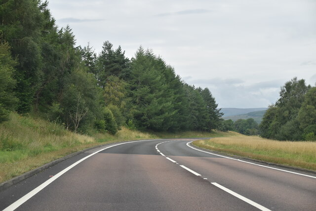
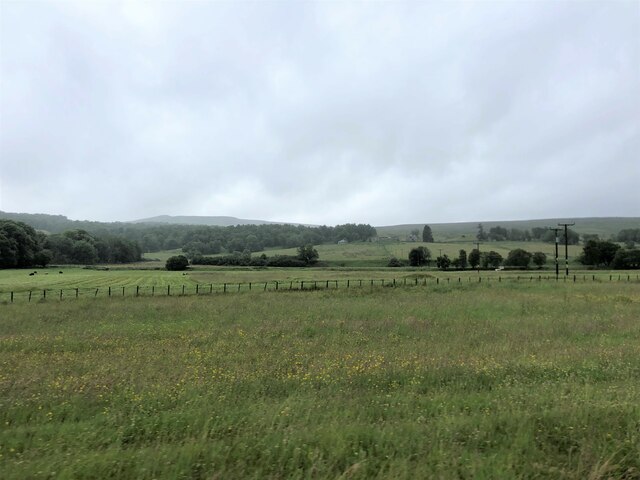
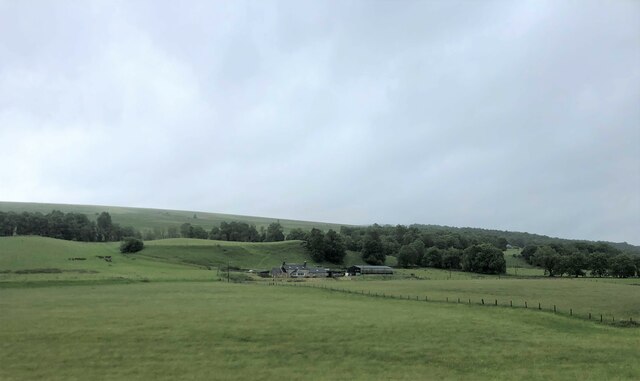
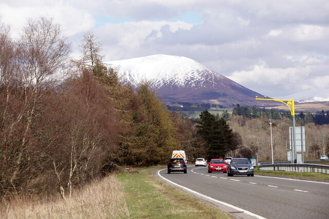
Baluain Images
Images are sourced within 2km of 56.771342/-3.9067573 or Grid Reference NN8366. Thanks to Geograph Open Source API. All images are credited.


Baluain is located at Grid Ref: NN8366 (Lat: 56.771342, Lng: -3.9067573)
Unitary Authority: Perth and Kinross
Police Authority: Tayside
What 3 Words
///kingdom.bagpipes.iceberg. Near Blair Atholl, Perth & Kinross
Nearby Locations
Related Wikis

Falls of Bruar
The Falls of Bruar are a series of waterfalls on the Bruar Water in Scotland, about 8 miles (13 kilometres) from Pitlochry in the council area of Perth...

Black Island Platform railway station
Black Island Platform railway station, Blair Atholl, Perth and Kinross, Scotland, was located at an area known as the Black Island beside the River Garry...

Old Blair
Old Blair is a tiny village of 18th century stone houses in Perth and Kinross, Scotland, adjoining and overlooking the grounds of Blair Castle. It is...

Blair Castle
Blair Castle (in Scottish Gaelic: Caisteil Bhlàir) stands in its grounds near the village of Blair Atholl in Perthshire in Scotland. It is the ancestral...
Struan, Perthshire
Struan is a small village in Perthshire in Scotland. The name derives from sruthan, the Gaelic for 'Little Stream'. It is 8 km west of Blair Atholl.It...

Calvine
Calvine is a hamlet in Perth and Kinross, Scotland.It is sandwiched between the A9 road, to its north, and the Highland mainline railway and River Garry...
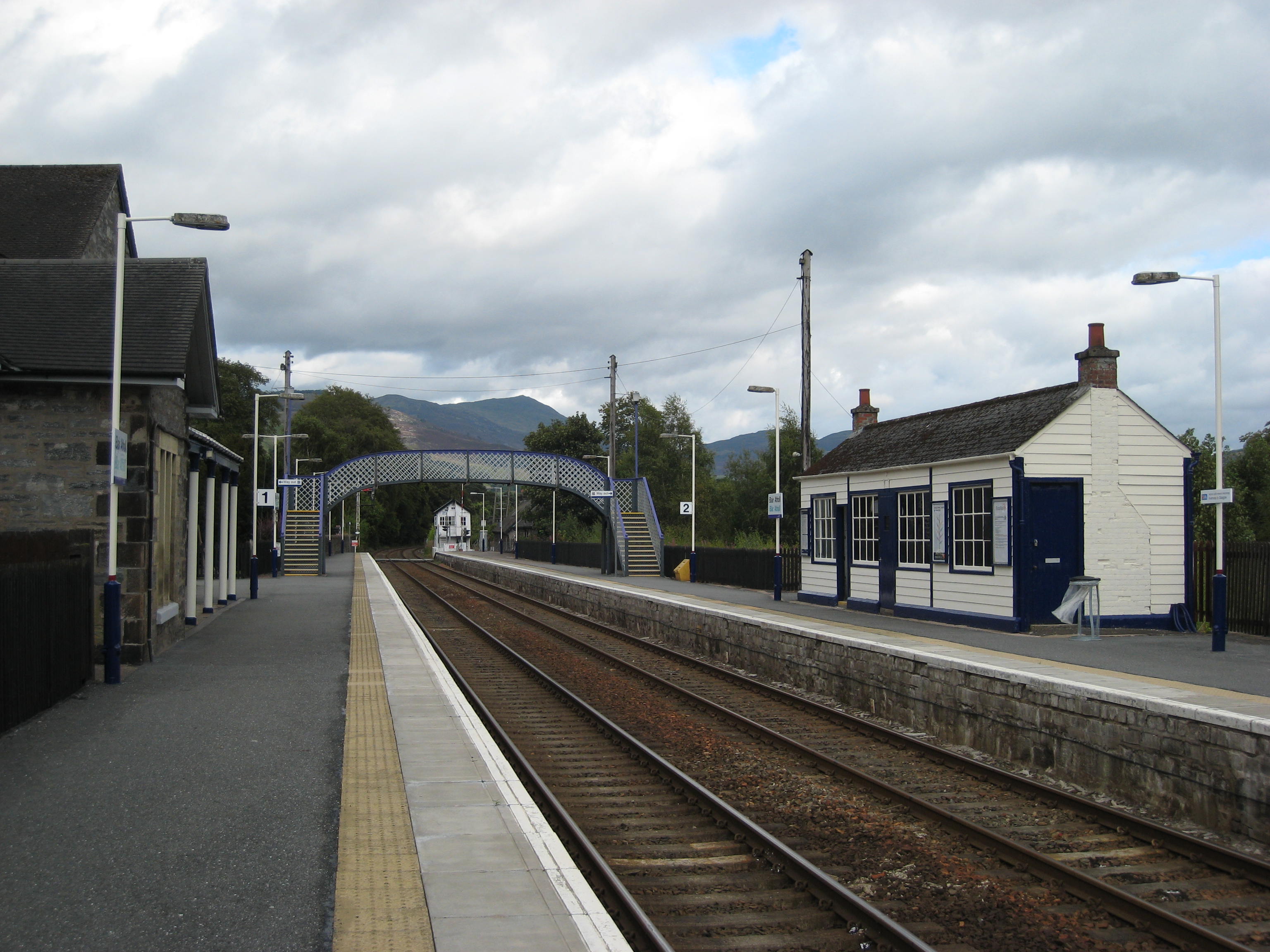
Blair Atholl railway station
Blair Atholl railway station is a railway station serving the town of Blair Atholl, Perth and Kinross, Scotland. The station is managed by ScotRail and...
Struan railway station
Struan railway station served the village of Struan, Perthshire, Scotland from 1863 to 1965 on the Inverness and Perth Junction Railway. == History... ==
Nearby Amenities
Located within 500m of 56.771342,-3.9067573Have you been to Baluain?
Leave your review of Baluain below (or comments, questions and feedback).