Baldernock
Settlement in Stirlingshire
Scotland
Baldernock
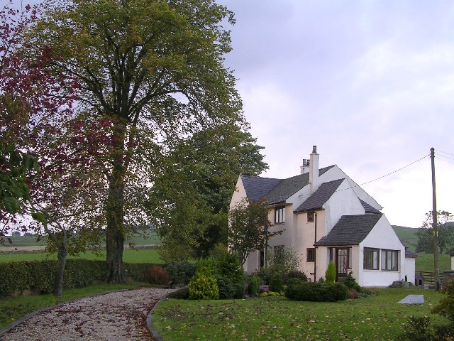
Baldernock is a small rural parish located in Stirlingshire, Scotland. Situated approximately 10 miles north of Glasgow, the area is nestled amidst picturesque countryside, offering residents and visitors a tranquil and idyllic setting.
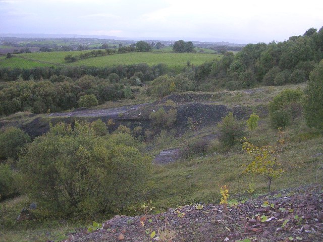
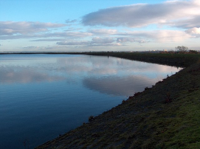
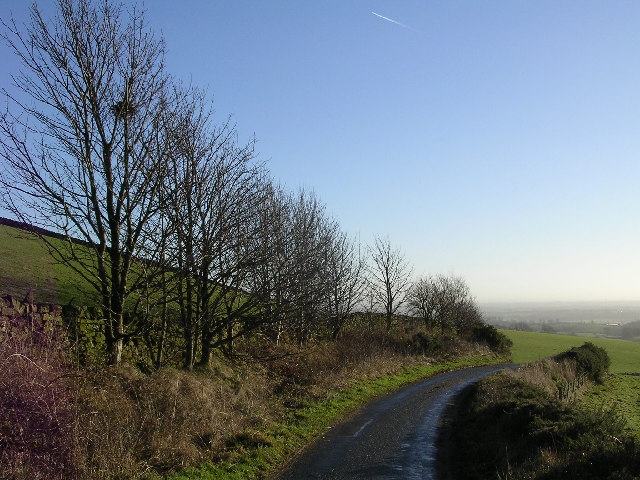
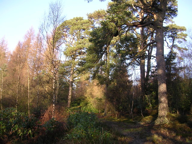
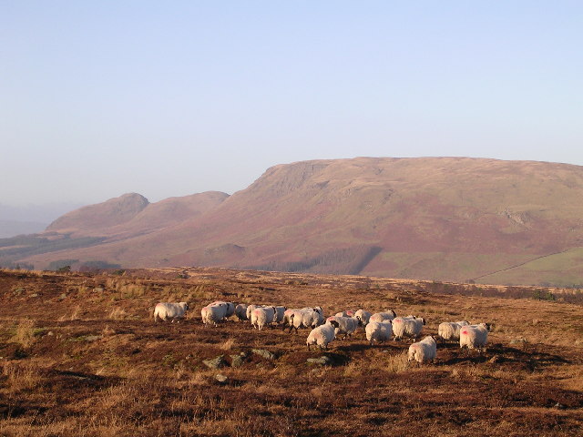
The parish of Baldernock covers an area of around 7 square miles and is home to a small population. The landscape is characterized by rolling hills, lush green fields, and charming country lanes. The parish is primarily agricultural, with farming being the main occupation of its residents.
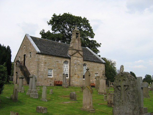
The village itself is small, with a scattering of houses and a quaint church dating back to the 12th century. The church, dedicated to St. Ninian, is a notable landmark in the area and attracts visitors interested in its historical significance.
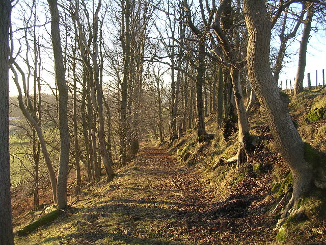
Baldernock is popular among nature enthusiasts and outdoor lovers due to its beautiful surroundings. The area offers excellent opportunities for hiking, cycling, and exploring the countryside. Numerous walking trails crisscross the parish, providing stunning views of the surrounding scenery.
Despite its rural character, Baldernock benefits from its close proximity to Glasgow. The city's amenities, including shopping centers, restaurants, and cultural attractions, are easily accessible, making it an ideal location for those seeking a peaceful countryside lifestyle with the convenience of urban facilities nearby.
In summary, Baldernock in Stirlingshire is a charming rural parish with breathtaking landscapes, a rich history, and a close-knit community. Its idyllic setting and proximity to Glasgow make it an appealing destination for those looking to enjoy the best of both worlds.
If you have any feedback on the listing, please let us know in the comments section below.
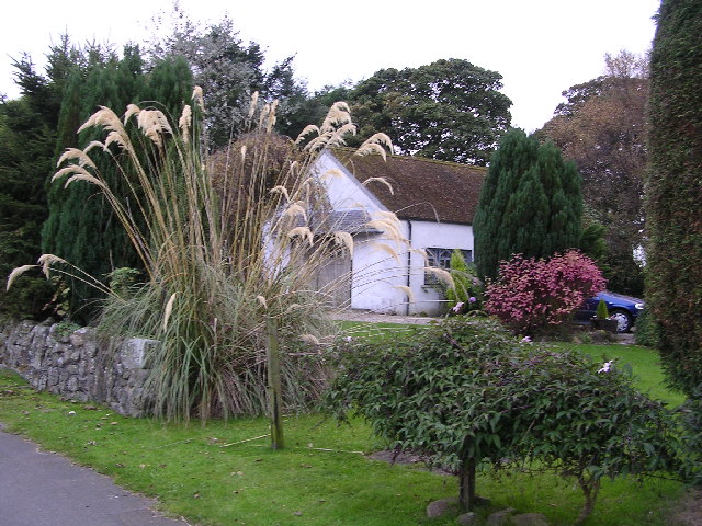
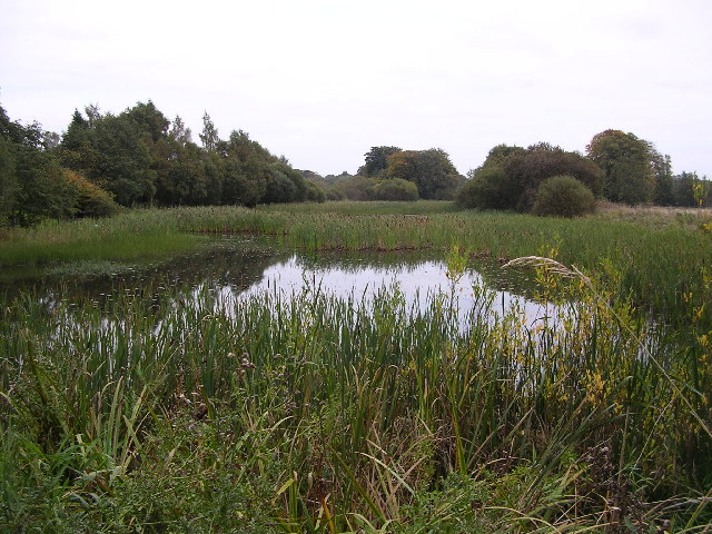
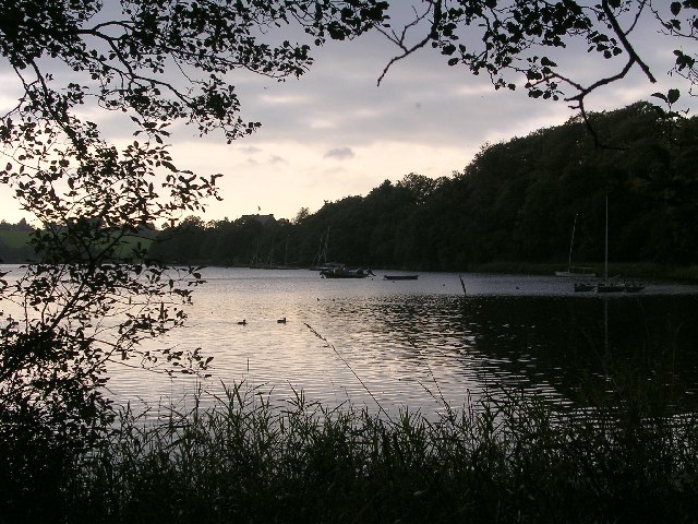
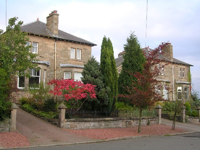
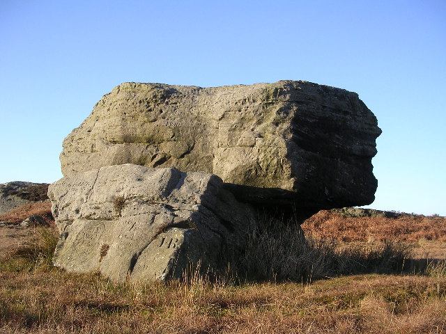
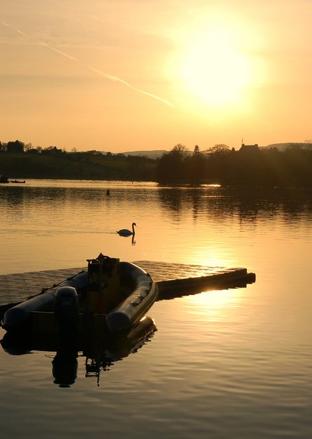
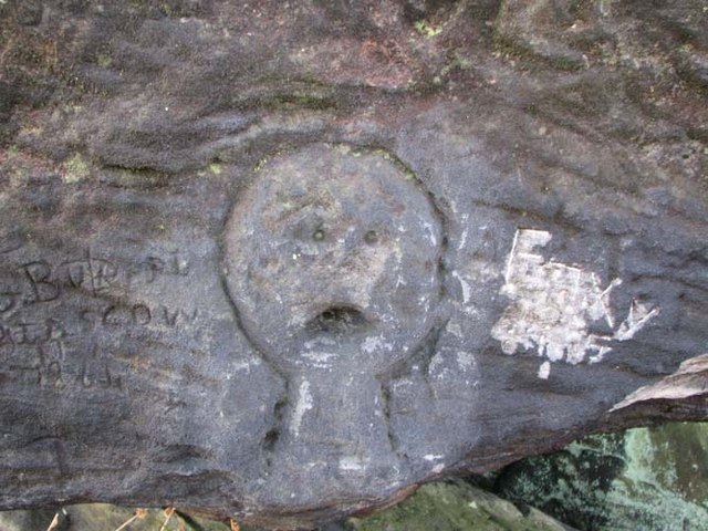
Baldernock Images
Images are sourced within 2km of 55.945692/-4.2795879 or Grid Reference NS5774. Thanks to Geograph Open Source API. All images are credited.
Baldernock is located at Grid Ref: NS5774 (Lat: 55.945692, Lng: -4.2795879)
Unitary Authority: East Dunbartonshire
Police Authority: Greater Glasgow
What 3 Words
///fleet.usual.soil. Near Milngavie, East Dunbartonshire
Nearby Locations
Related Wikis

Baldernock
Baldernock (; Gaelic: Baile D' Earnaig) meaning 'settlement of St Earnaig' (Iain Mac an Táilleir, Sabhall Mór Ostaig) is a small parish in East Dunbartonshire...

Barnellan
Barnellan is a small hamlet in East Dunbartonshire, Scotland, situated in the civil parish of Baldernock. It consists of a few houses and a farm, the latter...

Bardowie Castle
Bardowie Castle is located 2 kilometres (1.2 mi) east of Milngavie, in East Dunbartonshire, Scotland. The A-Listed building overlooks Bardowie Loch. The...

Milngavie water treatment works
Milngavie water treatment works (commonly known as The Waterworks) is a Scottish Water-operated water treatment facility located in Milngavie, Scotland...

Bardowie
Bardowie is a hamlet in East Dunbartonshire located within the civil parish of Baldernock. It is two miles (three kilometres) from Milngavie and four miles...

St Paul's Church (Milngavie)
St Paul's Church is a church building of the Presbyterian Church of Scotland in the Scottish town of Milngavie in East Dunbartonshire, near Glasgow. It...

Bardowie railway station
Bardowie railway station was opened in 1905 on the Kelvin Valley Railway, later than most of the other stations which had opened with the line itself in...
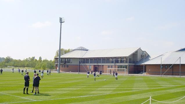
Rangers Training Centre
The Rangers Training Centre is the training ground of Rangers located in Milngavie, East Dunbartonshire, Scotland. It was opened in 2001 and originally...
Nearby Amenities
Located within 500m of 55.945692,-4.2795879Have you been to Baldernock?
Leave your review of Baldernock below (or comments, questions and feedback).