Balcombe Green

Settlement in Sussex Rother

England

Balcombe Green

Dead Oak tree at Pestalozzi A rather sculptural moribund oak tree on the drive to Pestalozzi Village, near Sedlescombe
Dead Oak tree at Pestalozzi Credit: David Saunders

Balcombe Green is a small and picturesque village located in the county of Sussex, England. Situated approximately 10 miles north of the city of Brighton, it is nestled amidst the stunning countryside of the South Downs National Park. The village is part of the Mid Sussex district and falls under the jurisdiction of the West Sussex County Council.

With a population of around 500 residents, Balcombe Green exudes a tranquil and tight-knit community atmosphere. The village is characterized by its charming traditional cottages and well-manicured gardens, which add to its overall aesthetic appeal. The surrounding countryside offers breathtaking views, making it an ideal location for nature enthusiasts and walkers.

Despite its small size, the village has a few amenities to cater to the needs of its residents. These include a local village hall, a small convenience store, and a primary school, providing a sense of convenience for the community. Additionally, there are several pubs and restaurants in the nearby area, offering a variety of dining options.

Balcombe Green benefits from excellent transportation links, with a train station located in the neighboring village of Balcombe. This provides easy access to nearby towns and cities, including London, Brighton, and Gatwick Airport.

Overall, Balcombe Green is a peaceful and idyllic village, offering a high quality of life for its residents and attracting visitors who seek a serene countryside experience.

If you have any feedback on the listing, please let us know in the comments section below.

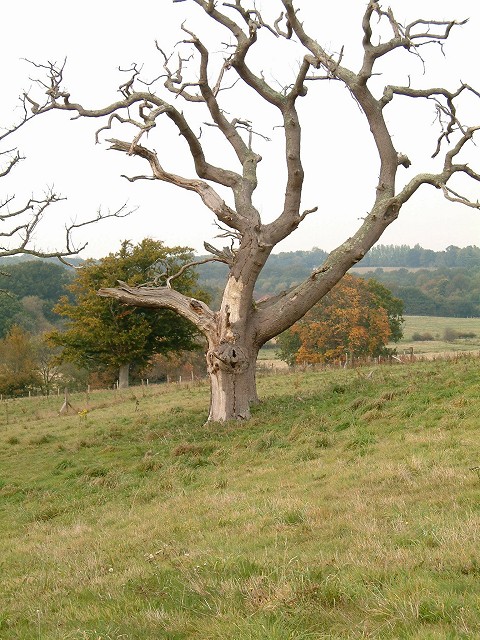
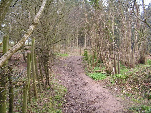
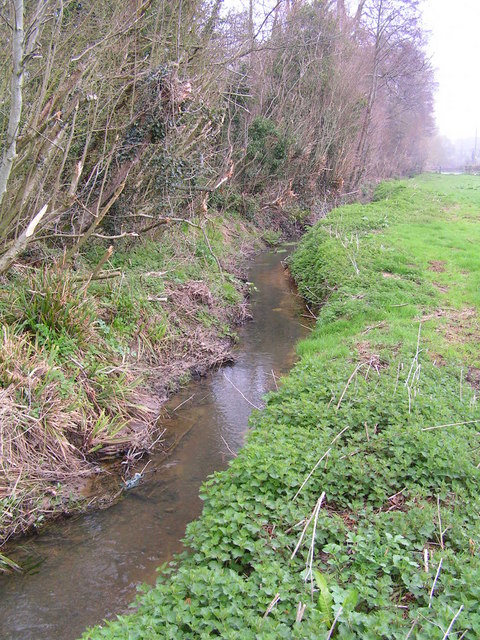
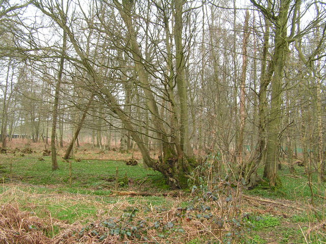
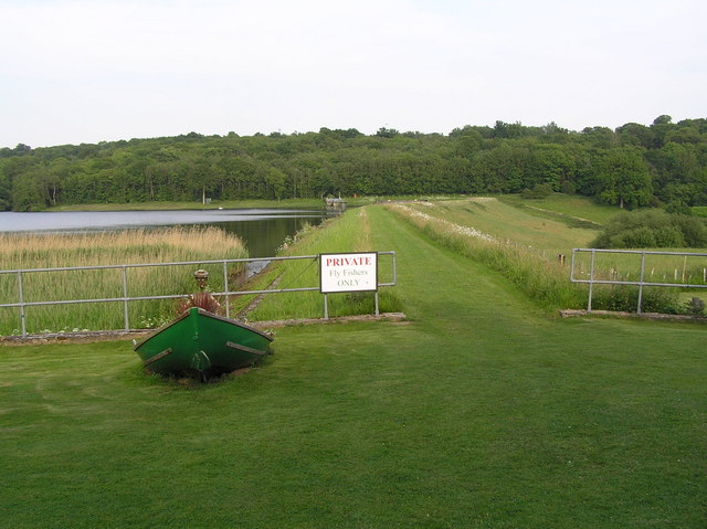
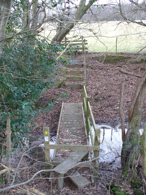
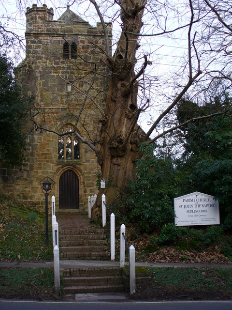
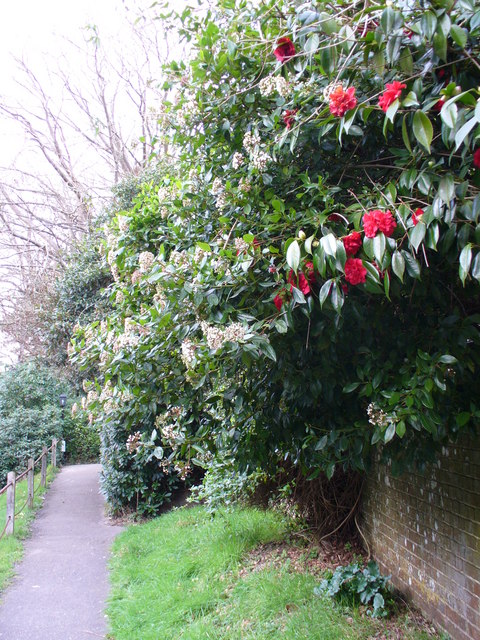
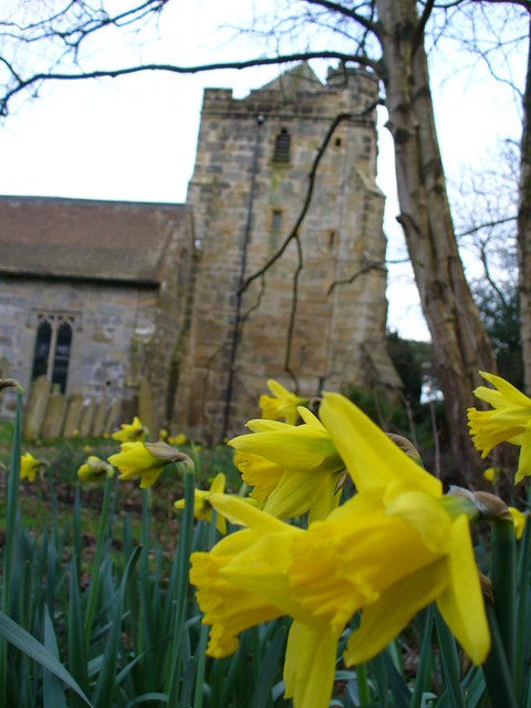
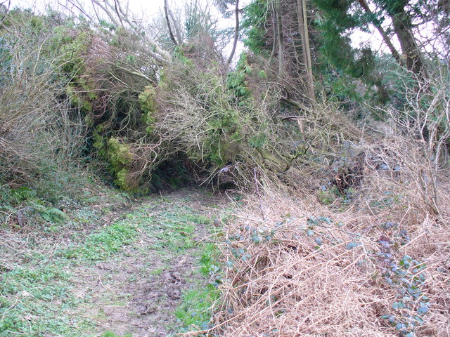
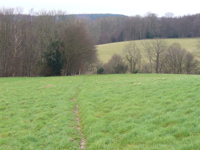
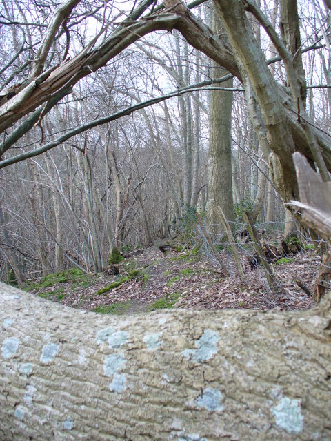
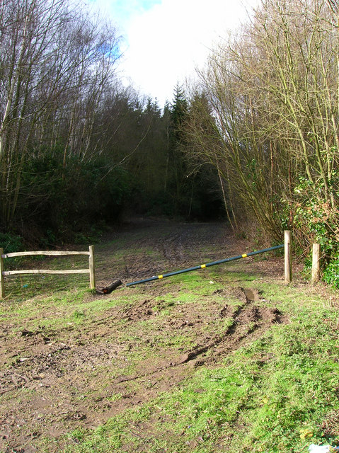
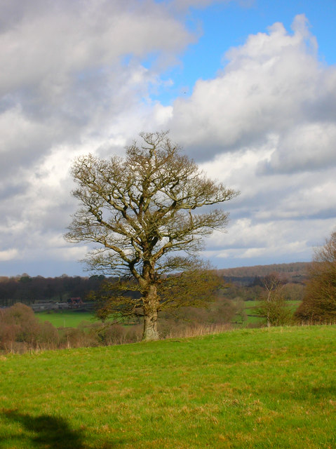
Balcombe Green Images

Images are sourced within 2km of 50.935454/0.53805558 or Grid Reference TQ7818. Thanks to Geograph Open Source API. All images are credited.

Dead Oak tree at Pestalozzi A rather sculptural moribund oak tree on the drive to Pestalozzi Village, near Sedlescombe
Dead Oak tree at Pestalozzi
A rather sculptural moribund oak tree on the drive to Pestalozzi Village, near Sedlescombe
Entering the Great Wood near Battle Part of a large forestry commission forest East of Battle
Entering the Great Wood near Battle
Part of a large forestry commission forest East of Battle
R. Brede running along the edge of Petley Woods A very clear Wealden stream
R. Brede running along the edge of Petley Woods
A very clear Wealden stream
Petley Woods Typical Wealden woodland of mixed trees
Petley Woods
Typical Wealden woodland of mixed trees
Powder Mill Reservoir Looking East along Powdermill dam.
Powder Mill Reservoir
Looking East along Powdermill dam.
Footbridge North of Sedlescombe East Sussex Council maintains this area well. A stile, footbridge, steps and a second stile make the going easy for walkers to cross this stream.
Footbridge North of Sedlescombe
East Sussex Council maintains this area well. A stile, footbridge, steps and a second stile make the going easy for walkers to cross this stream.
Sedlescombe Parish Church The parish church of St John the Baptist dates from the 13th Century but the west tower seen here dates from 15th Century. Spanish chestnuts flank the entrance while there are, naturally, yews in the churchyard.
Sedlescombe Parish Church
The parish church of St John the Baptist dates from the 13th Century but the west tower seen here dates from 15th Century. Spanish chestnuts flank the entrance while there are, naturally, yews in the churchyard.
Footpath at Sedlescombe Church The path parallels the village street which follows the ridge line between the River Line and another tributary of the River Brede. Rhododendrons and skimmia lining the churchyard are blooming in February.
Footpath at Sedlescombe Church
The path parallels the village street which follows the ridge line between the River Line and another tributary of the River Brede. Rhododendrons and skimmia lining the churchyard are blooming in February.
Daffodil in Sedlescombe Churchyard Early blooms in beside the 15th Century church tower. The Sackvilles were the local landowners here.
Daffodil in Sedlescombe Churchyard
Early blooms in beside the 15th Century church tower. The Sackvilles were the local landowners here.
Blocked Footpath at Sedlescombe A fallen tree makes the going difficult for walkers but about three feet headroom makes the path still passable.
Blocked Footpath at Sedlescombe
A fallen tree makes the going difficult for walkers but about three feet headroom makes the path still passable.
Wealden Landscape North of Sedlescombe The footpath descends a grassy slope, to cross a stream , then rise again over another meadow. Woods mingle with the fields. The clay soil was still soaking after heavy rain, you could hear the water running across the slopes.
Wealden Landscape North of Sedlescombe
The footpath descends a grassy slope, to cross a stream , then rise again over another meadow. Woods mingle with the fields. The clay soil was still soaking after heavy rain, you could hear the water running across the slopes.
Blocked Path near Beech Farm This trunk, mottled with light turquoise growth, lies across the path through a small beech wood.
Blocked Path near Beech Farm
This trunk, mottled with light turquoise growth, lies across the path through a small beech wood.
Light Aircraft, Stream Lane A sign on the lane mentioned a grass airstrip hidden behind the high hedges. Behind the 'planes are farm buildings.
Light Aircraft, Stream Lane
A sign on the lane mentioned a grass airstrip hidden behind the high hedges. Behind the 'planes are farm buildings.
Hedge on Stream Lane This bare hedge, like many in the area, shows signs of very recent cutting to its top and sides, permitting unhindered use of the narrow lane by vehicles.
Hedge on Stream Lane
This bare hedge, like many in the area, shows signs of very recent cutting to its top and sides, permitting unhindered use of the narrow lane by vehicles.
Dean's Wood Taken from Cottage Lane.
Dean's Wood
Taken from Cottage Lane.
Spot the Bear, Brassetts Wood Taken from the footpath that links Cottage Lane with Sedlescomb. A little game to play is see of you can spot the board with a poster of a bear on. Quite why it is there has no explanation.
Spot the Bear, Brassetts Wood
Taken from the footpath that links Cottage Lane with Sedlescomb. A little game to play is see of you can spot the board with a poster of a bear on. Quite why it is there has no explanation.
Forestry Track, Brassetts Wood The wood is run commercially by the Forestry Commission.
Forestry Track, Brassetts Wood
The wood is run commercially by the Forestry Commission.
Oak Tree near Pestalozzi With views to Brede High Wood in the background.
Oak Tree near Pestalozzi
With views to Brede High Wood in the background.
Show me another place!

Balcombe Green is located at Grid Ref: TQ7818 (Lat: 50.935454, Lng: 0.53805558)

Administrative County: East Sussex

District: Rother

Police Authority: Sussex

What 3 Words

///driving.reverses.guardian. Near Battle, East Sussex

Related Wikis

Sedlescombe

Sedlescombe is a village and civil parish in the Rother district of East Sussex, England. The village is on the B2244 road, about 6 miles (10 km) north...

Durhamford Manor

Durhamford Manor is a Grade II* listed country house in the parish of Sedlescombe, East Sussex, England. The timber-framed, close-studded house dates to...

Whatlington

Whatlington is a village and civil parish in the Rother district of East Sussex, England. The village is seven miles (11 km) north of Hastings, just off...

Powdermill Reservoir

Powdermill Reservoir lies to the east of Sedlescombe, East Sussex, England. The reservoir provides water for Southern Water customers. == History == Originally...

Sedlescombe vineyard

Sedlescombe organic vineyard is an English vineyard located in Robertsbridge, just outside Sedlescombe in East Sussex.It is one of the few British vineyards...

Brede Waterworks

Brede Waterworks (grid reference TQ 813 178) is a waterworks at Brede, East Sussex, England. It was built to supply Hastings with drinking water. The waterworks...

Cripps Corner

Cripps Corner is a village in the civil parish of Ewhurst and the Rother district of East Sussex, England. It is in the High Weald Area of Outstanding...

Hemingfold Meadow

Hemingfold Meadow is a 4.9-hectare (12-acre) biological Site of Special Scientific Interest west of Battle in East Sussex.This site consists of two adjacent...

Related Videos

Our first Easter egg hunt! Vlog #6 | Emilie King

Hope you all had a lovely Easter holiday!! Again, just a random vlog of us being weird :) Insta: - emilieking31 ...

Hastings and St Leonards dog walkers at Battle wood

Hastings Pet Card Walking the dogs at Battle Wood #Dogwalkers #hastings #stleonards #fairlight #dogwalker #doggydaycare ...
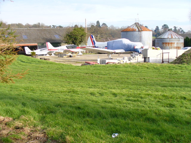
OFFSET APPROACH and TRICKY LANDING! Piper PA32R-300 into SPILSTEAD FARM [HD Pilot VLOG | ATC Audio]

I take the Piper PA32R-300 Lance from Lee-on-Solent (EGHF) to Spilstead Farm for it's annual maintenance. Please note, this ...

Hastings Pet Card - Dog walkers

Having a great day out at Battle Great wood Hastings and St Leonards dog walkers Www.Hastingspetcare.Co.Uk #Dogwalkers ...

Nearby Amenities

Located within 500m of 50.935454,0.53805558
Sedlescombe
Is In: East Sussex, England, UK
Place: village
Wikidata: Q2295637
Wikipedia: en:Sedlescombe
Lat/Long: 50.9331879/0.5344641
Post Box
Collection Times: Mo-Fr 17:00; Sa 11:15
Operator: Royal Mail
Operator Wikidata: Q638098
Post Box Type: pillar
Postal Code: TN33
Ref: TN33 148
Lat/Long: 50.9334733/0.5343565
Turning Circle
Lat/Long: 50.9358239/0.5335815
Turning Circle
Lat/Long: 50.937277/0.5366576
Power: pole
Lat/Long: 50.9396564/0.5381236
Power: pole
Lat/Long: 50.9384809/0.5384534
The Brickwall Hotel
Addr Postcode: TN33 0QA
Addr Street: The Green
Addr Village: Sedlescombe
Fhrs Id: 782603
Source Addr: FHRS Open Data
Tourism: hotel
Wikidata: Q26516424
Lat/Long: 50.9342655/0.5338142
Turning Circle
Lat/Long: 50.9359293/0.5365662
Barrier: stile
Lat/Long: 50.9348749/0.5415031
Barrier: stile
Lat/Long: 50.9352363/0.5436295
Fountain
Lat/Long: 50.9330049/0.5332968
Removed Amenity: telephone
Lat/Long: 50.9346127/0.5331386
Bus Stop
Bus: yes
Naptan AtcoCode: 1400RR0363
Naptan NaptanCode: esuatgjt
Public Transport: platform
Lat/Long: 50.9319527/0.5351161
Bus Stop
Bus: yes
Naptan AtcoCode: 1400RR0362
Naptan NaptanCode: esuatgjp
Public Transport: platform
Shelter: yes
Lat/Long: 50.9320477/0.5351872
Waste Basket
Lat/Long: 50.933309/0.5344326
Waste Basket
Lat/Long: 50.93338/0.5343852
Post Box
Collection Times: Mo-Fr 09:00; Sa 07:00
Operator: Royal Mail
Operator Wikidata: Q638098
Post Box Type: lamp
Ref: TN33 239D
Royal Cypher: EIIR
Royal Cypher Wikidata: Q33102113
Lat/Long: 50.9354723/0.5323427
Bus Stop
Bus: yes
Public Transport: platform
Lat/Long: 50.9366588/0.531578
Bus Stop
Bus: yes
Public Transport: platform
Lat/Long: 50.936609/0.531741
Man Made: utility_pole
Lat/Long: 50.9315125/0.5351231
Bench
Lat/Long: 50.9333606/0.5343566
Bench
Lat/Long: 50.9333137/0.5343856
Post Box
Collection Times: Mo-Fr 09:00; Sa 07:00
Operator: Royal Mail
Operator Wikidata: Q638098
Post Box Type: lamp
Ref: TN33 221D
Royal Cypher: EIIR
Royal Cypher Wikidata: Q33102113
Lat/Long: 50.9364102/0.5412881
Phone: +441424871424
Shop: antiques
Lat/Long: 50.931623/0.5350618
Bridge Garage
Shop: car_repair
Lat/Long: 50.9317326/0.5349882
Direction: 160
Information: board
Tourism: information
Lat/Long: 50.9334679/0.5345299
Generator Method: photovoltaic
Generator Source: solar
Generator Type: solar_photovoltaic_panel
Location: roof
Power: generator
Lat/Long: 50.9355802/0.5319692
Generator Method: photovoltaic
Generator Source: solar
Generator Type: solar_photovoltaic_panel
Location: roof
Power: generator
Lat/Long: 50.9355328/0.5317962
Generator Method: photovoltaic
Generator Source: solar
Generator Type: solar_photovoltaic_panel
Location: roof
Power: generator
Lat/Long: 50.9355447/0.5320135
Generator Method: photovoltaic
Generator Source: solar
Generator Type: solar_photovoltaic_panel
Location: roof
Power: generator
Lat/Long: 50.9344662/0.5354762
The data included in this document is from www.openstreetmap.org. The data is made available under ODbL.

Have you been to Balcombe Green?

Leave your review of Balcombe Green below (or comments, questions and feedback).