Park Shaw
Wood, Forest in Sussex Rother
England
Park Shaw
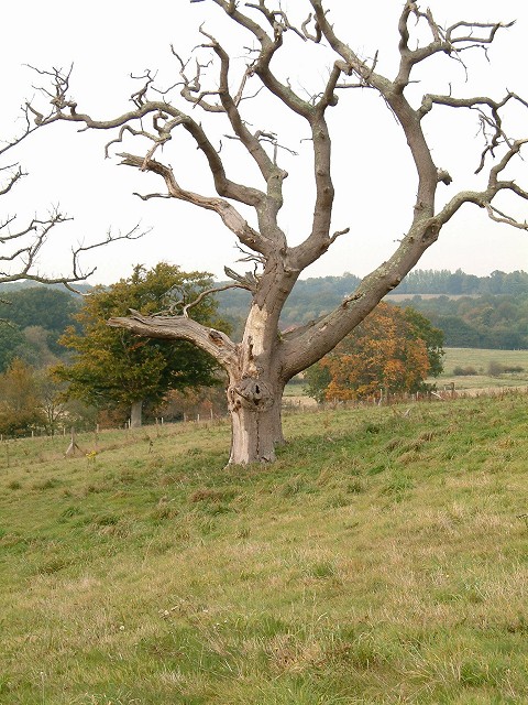
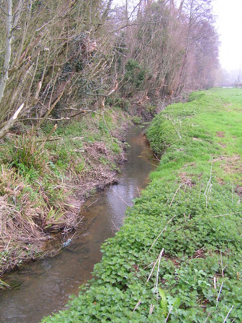
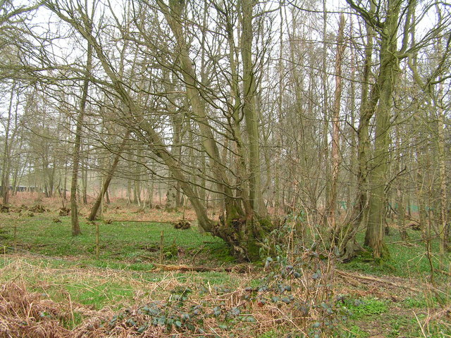
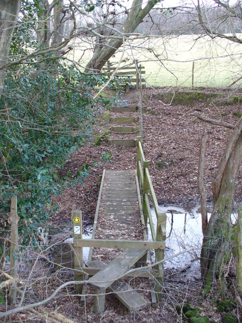
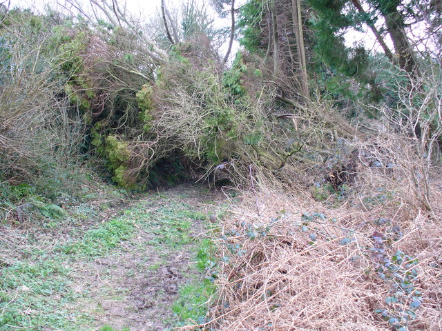
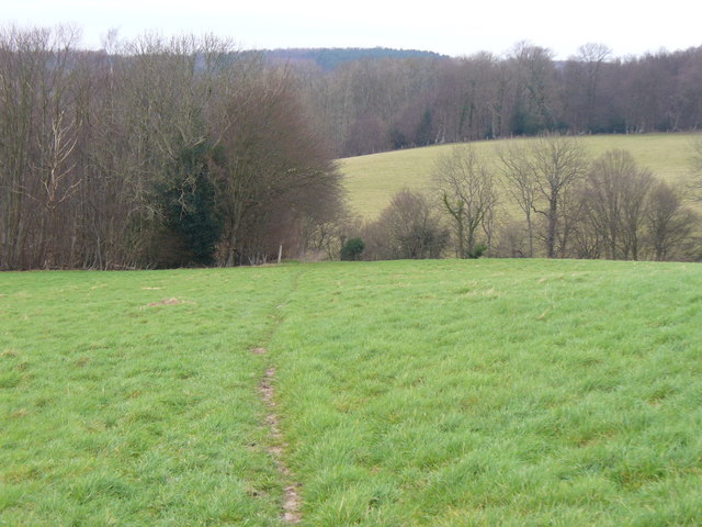
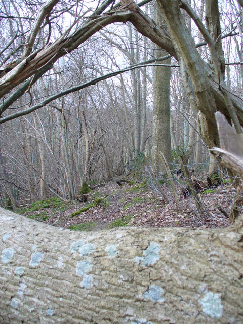
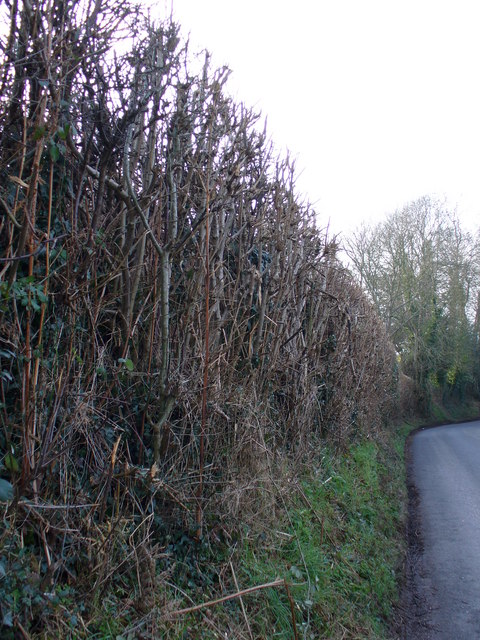
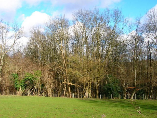
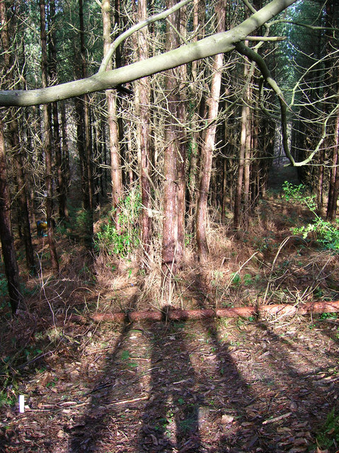
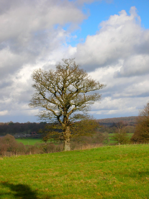
Park Shaw is a picturesque woodland area located in Sussex, England. Nestled within the larger Shaw Forest, this idyllic park is a haven for nature lovers and outdoor enthusiasts alike. Covering an extensive area, Park Shaw boasts lush greenery, tall trees, and a diverse range of flora and fauna.
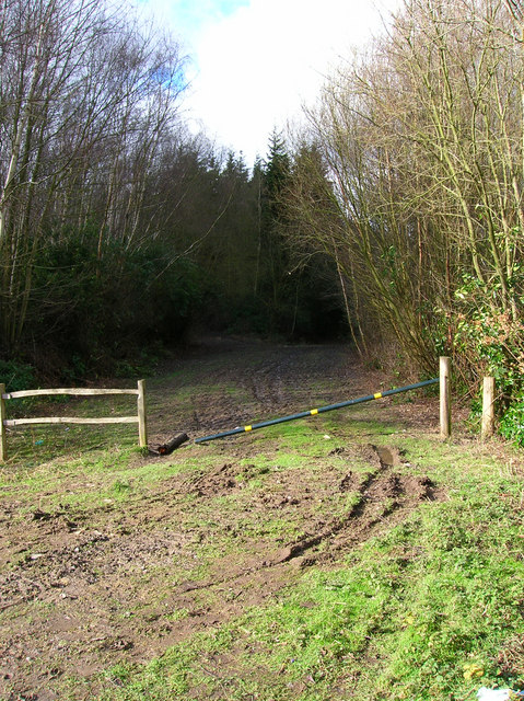
The park offers a tranquil and serene atmosphere, making it an ideal destination for those seeking a peaceful retreat from the hustle and bustle of city life. Visitors can explore the park through a network of well-maintained walking trails, which wind their way through the dense forest. These trails provide stunning views of the surrounding landscape and offer opportunities for birdwatching and wildlife spotting.
Park Shaw is home to a rich variety of wildlife, including deer, foxes, and various species of birds. Nature enthusiasts have the chance to observe these creatures in their natural habitat, making for a truly immersive experience.
For those who enjoy outdoor activities, Park Shaw offers a range of recreational facilities. The park features picnic areas, where visitors can enjoy a leisurely lunch amidst the beauty of nature. Additionally, there are designated areas for camping and barbecues, allowing families and friends to spend quality time together in a serene environment.
Overall, Park Shaw in Sussex is a hidden gem, offering a peaceful and natural escape for individuals and families alike. Its lush woodlands, diverse wildlife, and recreational amenities make it a must-visit destination for nature enthusiasts and outdoor lovers.
If you have any feedback on the listing, please let us know in the comments section below.
Park Shaw Images
Images are sourced within 2km of 50.939164/0.54240004 or Grid Reference TQ7818. Thanks to Geograph Open Source API. All images are credited.
Park Shaw is located at Grid Ref: TQ7818 (Lat: 50.939164, Lng: 0.54240004)
Administrative County: East Sussex
District: Rother
Police Authority: Sussex
What 3 Words
///chapels.tripped.springing. Near Battle, East Sussex
Nearby Locations
Related Wikis

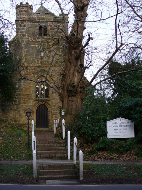
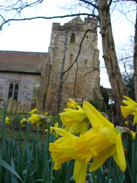
Sedlescombe
Sedlescombe is a village and civil parish in the Rother district of East Sussex, England. The village is on the B2244 road, about 6 miles (10 km) north...

Durhamford Manor
Durhamford Manor is a Grade II* listed country house in the parish of Sedlescombe, East Sussex, England. The timber-framed, close-studded house dates to...

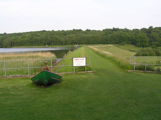
Powdermill Reservoir
Powdermill Reservoir lies to the east of Sedlescombe, East Sussex, England. The reservoir provides water for Southern Water customers. == History == Originally...

Whatlington
Whatlington is a village and civil parish in the Rother district of East Sussex, England. The village is seven miles (11 km) north of Hastings, just off...

Sedlescombe vineyard
Sedlescombe organic vineyard is an English vineyard located in Robertsbridge, just outside Sedlescombe in East Sussex.It is one of the few British vineyards...

Brede Waterworks
Brede Waterworks (grid reference TQ 813 178) is a waterworks at Brede, East Sussex, England. It was built to supply Hastings with drinking water. The waterworks...

Cripps Corner
Cripps Corner is a village in the civil parish of Ewhurst and the Rother district of East Sussex, England. It is in the High Weald Area of Outstanding...

Vinehall Street
Vinehall Street (or Vinehall), is a linear settlement in the civil parishes of Mountfield and Whatlington, and the Rother district of East Sussex, England...
Nearby Amenities
Located within 500m of 50.939164,0.54240004Have you been to Park Shaw?
Leave your review of Park Shaw below (or comments, questions and feedback).