Sedlescombe
Civil Parish in Sussex Rother
England
Sedlescombe
Sedlescombe is a civil parish located in the county of East Sussex, in the southeastern part of England. Situated approximately five miles north of the town of Battle, Sedlescombe covers an area of around 18 square kilometers and is home to a population of approximately 2,000 residents.
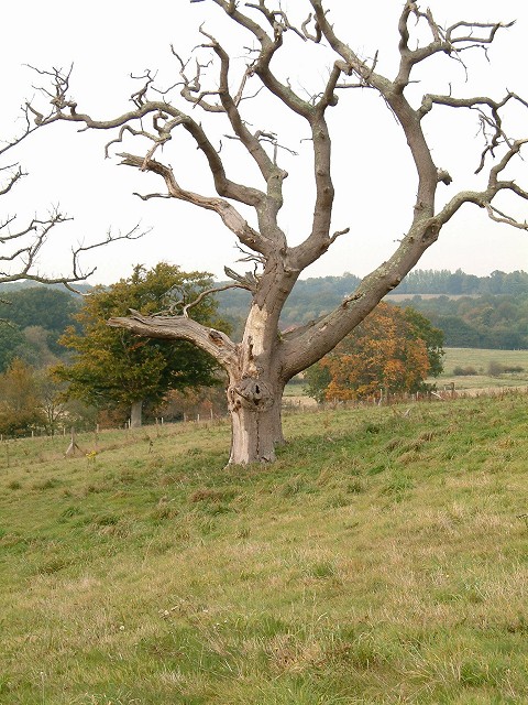
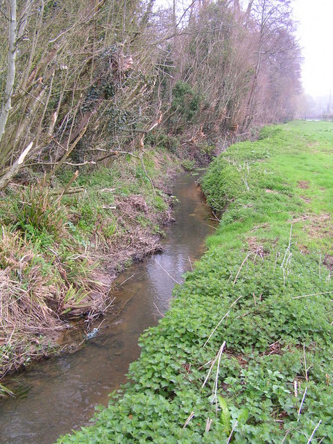
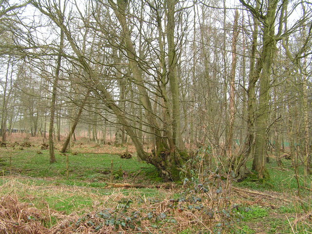
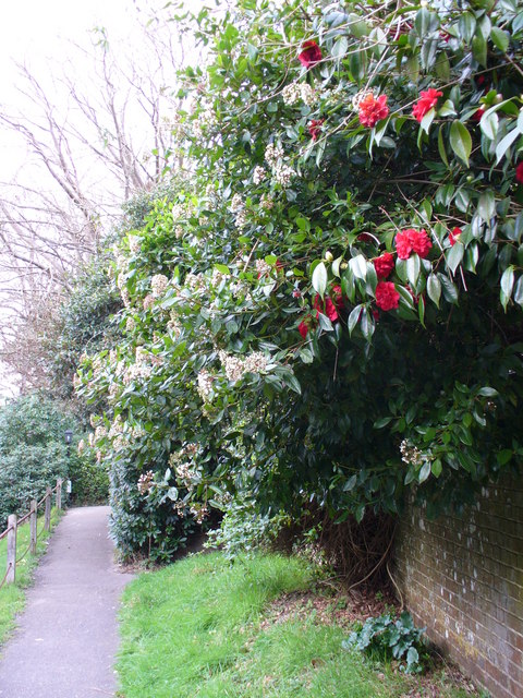
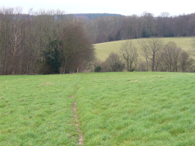
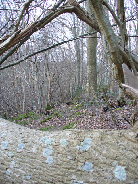
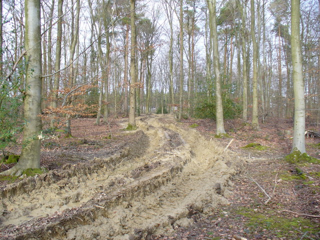
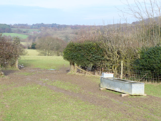
The village of Sedlescombe is known for its picturesque countryside and historic charm. It is one of the oldest parishes in Sussex, with evidence of human habitation dating back to the Neolithic period. The village is surrounded by beautiful landscapes, including rolling hills, meadows, and woodlands, making it a popular destination for outdoor enthusiasts and nature lovers.
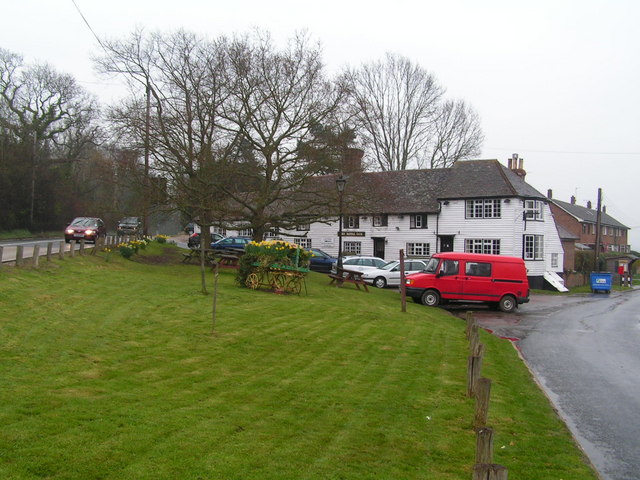
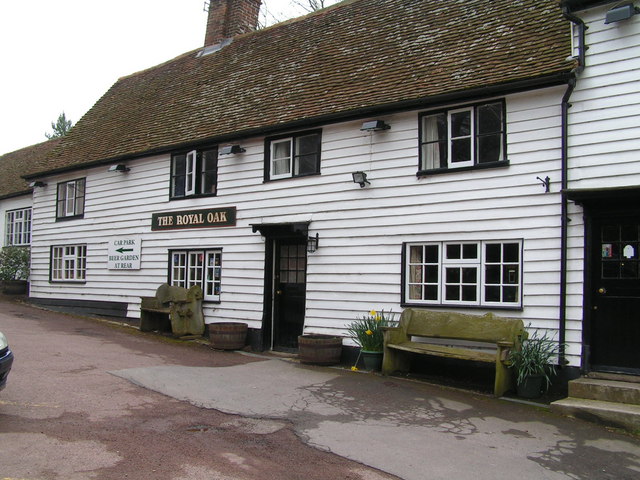
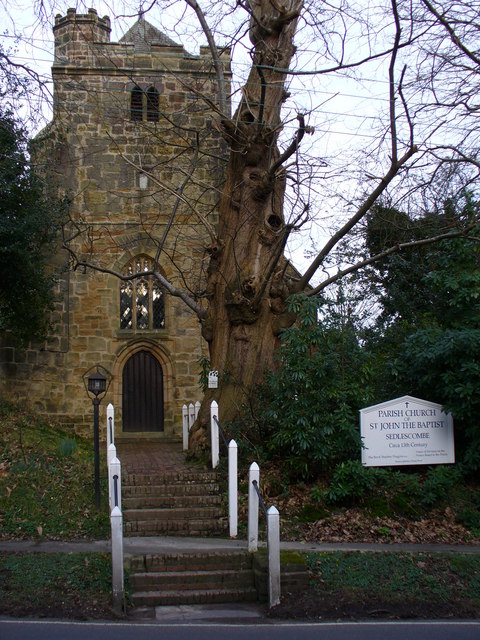
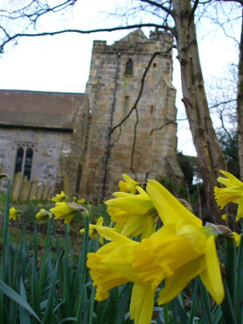
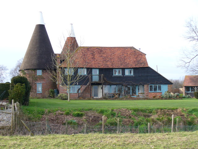
The heart of the village features a number of historic buildings, such as the Grade I listed St. John the Baptist Church, which dates back to the 13th century. There are also several traditional pubs, shops, and cafes that add to the village's quaint and welcoming atmosphere.
Sedlescombe is well-connected to larger towns and cities in the region, with good transportation links via road and public transport. The village is also home to a primary school, a village hall, and various community organizations that contribute to the vibrant social life of the parish.
Overall, Sedlescombe is a charming and picturesque civil parish that offers a peaceful and idyllic lifestyle, with its rich history, natural beauty, and strong sense of community.
If you have any feedback on the listing, please let us know in the comments section below.
Sedlescombe Images
Images are sourced within 2km of 50.941651/0.534568 or Grid Reference TQ7818. Thanks to Geograph Open Source API. All images are credited.

Sedlescombe is located at Grid Ref: TQ7818 (Lat: 50.941651, Lng: 0.534568)
Administrative County: East Sussex
District: Rother
Police Authority: Sussex
What 3 Words
///cards.control.goodnight. Near Battle, East Sussex
Nearby Locations
Related Wikis

Durhamford Manor
Durhamford Manor is a Grade II* listed country house in the parish of Sedlescombe, East Sussex, England. The timber-framed, close-studded house dates to...

Sedlescombe
Sedlescombe is a village and civil parish in the Rother district of East Sussex, England. The village is on the B2244 road, about 6 miles (10 km) north...

Whatlington
Whatlington is a village and civil parish in the Rother district of East Sussex, England. The village is seven miles (11 km) north of Hastings, just off...

Sedlescombe vineyard
Sedlescombe organic vineyard is an English vineyard located in Robertsbridge, just outside Sedlescombe in East Sussex.It is one of the few British vineyards...

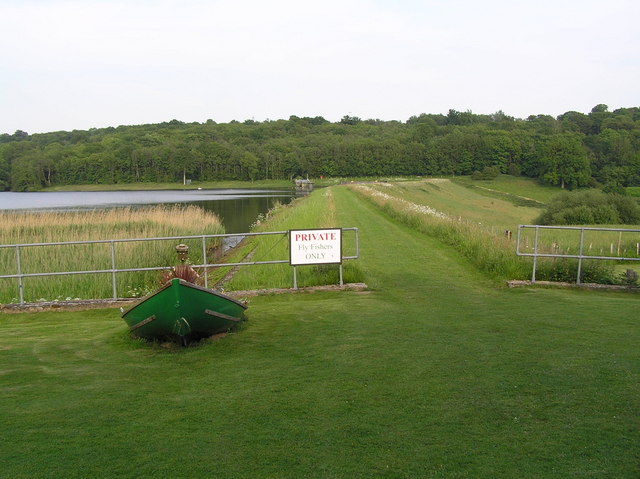
Powdermill Reservoir
Powdermill Reservoir lies to the east of Sedlescombe, East Sussex, England. The reservoir provides water for Southern Water customers. == History == Originally...

Cripps Corner
Cripps Corner is a village in the civil parish of Ewhurst and the Rother district of East Sussex, England. It is in the High Weald Area of Outstanding...

Vinehall Street
Vinehall Street (or Vinehall), is a linear settlement in the civil parishes of Mountfield and Whatlington, and the Rother district of East Sussex, England...

Brede Waterworks
Brede Waterworks (grid reference TQ 813 178) is a waterworks at Brede, East Sussex, England. It was built to supply Hastings with drinking water. The waterworks...
Nearby Amenities
Located within 500m of 50.941651,0.534568Have you been to Sedlescombe?
Leave your review of Sedlescombe below (or comments, questions and feedback).