Ladies' Pond

Lake, Pool, Pond, Freshwater Marsh in Stirlingshire

Scotland

Ladies' Pond

Milngavie town centre Start of the West Highland Way.
Milngavie town centre Credit: william craig

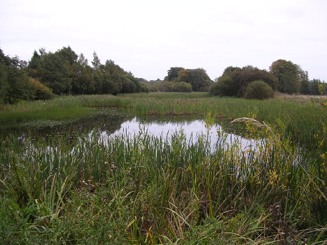
Located in the picturesque region of Stirlingshire, Scotland, Ladies' Pond is a captivating freshwater marsh nestled amidst an idyllic landscape. Situated within the larger natural area of the Loch Lomond and The Trossachs National Park, this enchanting body of water offers visitors a serene and tranquil escape from the hustle and bustle of everyday life.

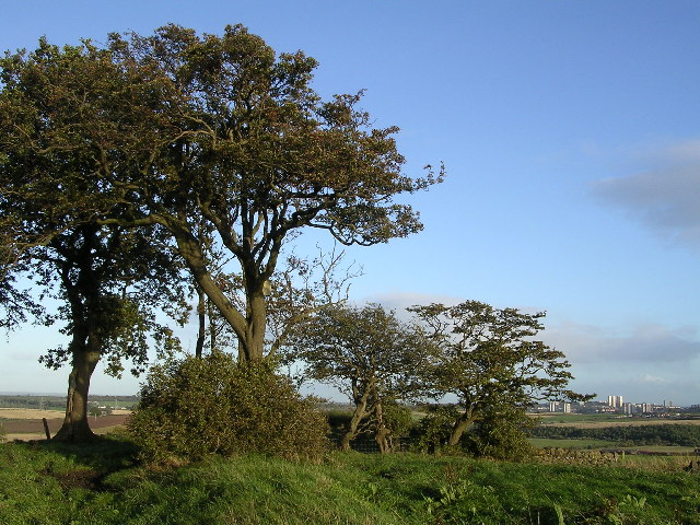
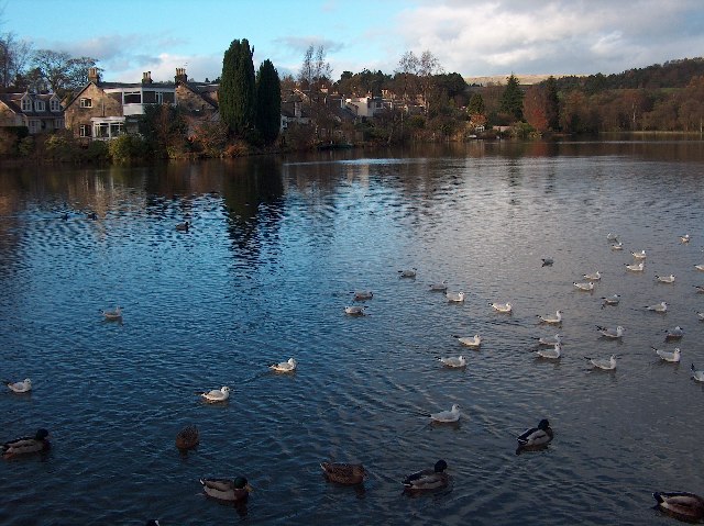
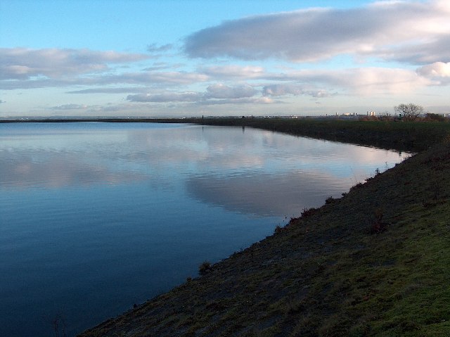
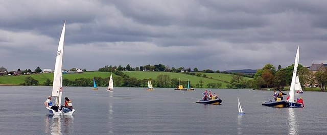
Ladies' Pond is a small but beautiful expanse of water, often referred to as a lake, pool, or pond due to its size. Surrounded by lush greenery and rolling hills, it provides a captivating view of the natural wonders that Stirlingshire has to offer. The pond is fed by various streams and springs, ensuring a constant flow of fresh, crystal-clear water throughout the year.

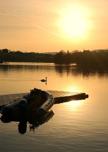
The area around the pond is a haven for wildlife enthusiasts and nature lovers alike. The diverse ecosystem supports a wide range of flora and fauna, including water lilies, reeds, and various aquatic plants that thrive in the marshy surroundings. Birdwatchers will be delighted by the sight of numerous species, such as ducks, swans, and herons, gracefully gliding across the water.

Visitors can enjoy a range of activities at Ladies' Pond, including fishing and boating. Anglers can try their luck at catching brown trout, which are known to inhabit the pond. Take a leisurely stroll along the scenic pathways that encircle the water, or simply find a peaceful spot to sit and enjoy the serenity of the surroundings.

Ladies' Pond in Stirlingshire offers a haven of natural beauty and tranquility, making it a must-visit destination for those seeking a peaceful retreat in the heart of Scotland's stunning countryside.

If you have any feedback on the listing, please let us know in the comments section below.
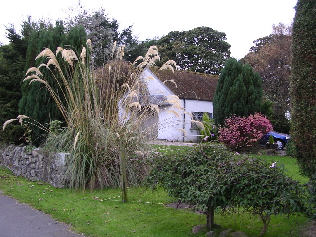
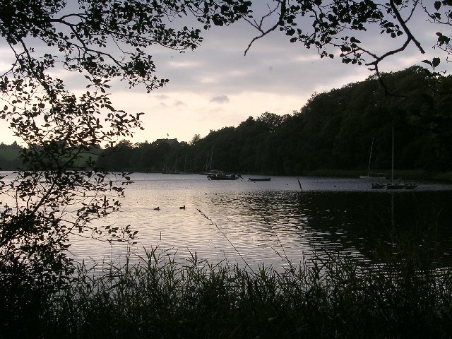
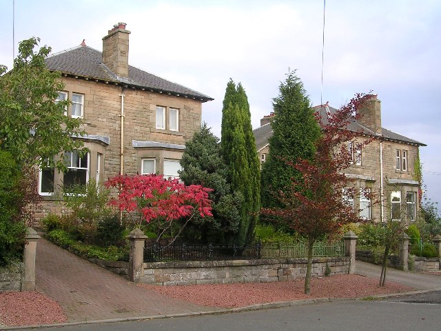
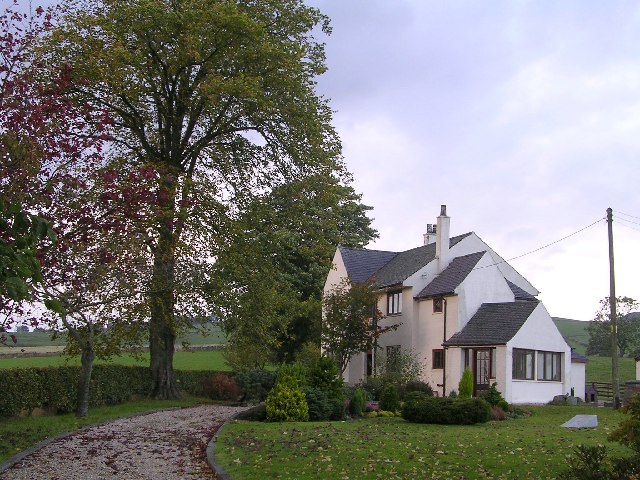
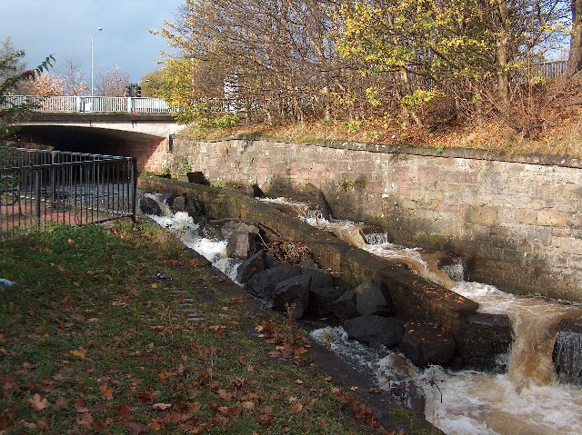
Ladies' Pond Images

Images are sourced within 2km of 55.93925/-4.2906266 or Grid Reference NS5774. Thanks to Geograph Open Source API. All images are credited.

Milngavie town centre Start of the West Highland Way.
Milngavie town centre
Start of the West Highland Way.
Baldernock Parish Church, near Milngavie, East Dunbartonshire Built 1795
Baldernock Parish Church, near Milngavie, East Dunbartonshire
Built 1795
Relics of the Antonine Wall, Milngavie Just off the Burnbrae roundabout in Milngavie is a small garden surrounding relics of the Antonine Wall, built between 140 and 142 AD.
I'm not so sure these are genuine Roman relics. I'll need to read the sign next time I'm passing.
Relics of the Antonine Wall, Milngavie
Just off the Burnbrae roundabout in Milngavie is a small garden surrounding relics of the Antonine Wall, built between 140 and 142 AD. I'm not so sure these are genuine Roman relics. I'll need to read the sign next time I'm passing.
West of Scotland Rugby Football Club Sunday morning practice session at the Milngavie rugby club.
West of Scotland Rugby Football Club
Sunday morning practice session at the Milngavie rugby club.
Summit of Crow Hill Lies on the course of the old Antonine Wall
Summit of Crow Hill
Lies on the course of the old Antonine Wall
Summerston Cottages
Summerston Cottages
Dovecot on Dougalston Golf Course Hexagonal in shape, this dovecote probably dates from the middle or latter half of the eighteenth century
Dovecot on Dougalston Golf Course
Hexagonal in shape, this dovecote probably dates from the middle or latter half of the eighteenth century
Baldernock Mill The mill buildings date from the 16th century. The present water wheel is 18ft in diameter and has 48 steel buckets.
Baldernock Mill
The mill buildings date from the 16th century. The present water wheel is 18ft in diameter and has 48 steel buckets.
Garden at Langbank Holdings
Dougalston Loch Dougalston Loch at dusk
Dougalston Loch
Dougalston Loch at dusk
Bardowie Loch I had to ignore Private signs and wade through nettles and brambles to get this shot
Bardowie Loch
I had to ignore Private signs and wade through nettles and brambles to get this shot
Station Road, Bardowie The station long since gone
Station Road, Bardowie
The station long since gone
Easter Fluchter, near Balmore
Tannoch Loch, Milngavie A small loch in a residential area, much loved by wildfowl and locals. Campsie Fells in the distance beyond the woodland.
Tannoch Loch, Milngavie
A small loch in a residential area, much loved by wildfowl and locals. Campsie Fells in the distance beyond the woodland.
Craigmaddie Reservoir, Milngavie Late autumn afternoon. Glasgow tower blocks in the distance. Tinto Hill near Peebles faintly visible on the horizon.
Craigmaddie Reservoir, Milngavie
Late autumn afternoon. Glasgow tower blocks in the distance. Tinto Hill near Peebles faintly visible on the horizon.
Gavin's Mill Fish Pass, Milngavie A fish "ladder" to help fish upstream over rapids on the Allander Water in Milngavie, East Dunbartonshire.
Gavin's Mill Fish Pass, Milngavie
A fish "ladder" to help fish upstream over rapids on the Allander Water in Milngavie, East Dunbartonshire.
Sailing on Bardowie Loch It is thought that the loch was created after the Romans quarried the area for stone to build the nearby Antonine wall.  It is currently used for dinghy sailing by the Clyde Cruising Club.
Sailing on Bardowie Loch
It is thought that the loch was created after the Romans quarried the area for stone to build the nearby Antonine wall. It is currently used for dinghy sailing by the Clyde Cruising Club.
Sunset over Bardowie Loch
Show me another place!

Ladies' Pond is located at Grid Ref: NS5774 (Lat: 55.93925, Lng: -4.2906266)

Unitary Authority: East Dunbartonshire

Police Authority: Greater Glasgow

What 3 Words

///secure.lows.asleep. Near Milngavie, East Dunbartonshire

Nearby Locations

Ladies' Pond Baldernock

Related Wikis

Bardowie Castle

Bardowie Castle is located 2 kilometres (1.2 mi) east of Milngavie, in East Dunbartonshire, Scotland. The A-Listed building overlooks Bardowie Loch. The...

Rangers Training Centre

The Rangers Training Centre is the training ground of Rangers located in Milngavie, East Dunbartonshire, Scotland. It was opened in 2001 and originally...

Baldernock

Baldernock (; Gaelic: Baile D' Earnaig) meaning 'settlement of St Earnaig' (Iain Mac an Táilleir, Sabhall Mór Ostaig) is a small parish in East Dunbartonshire...

Barnellan

Barnellan is a small hamlet in East Dunbartonshire, Scotland, situated in the civil parish of Baldernock. It consists of a few houses and a farm, the latter...

Nearby Amenities

Located within 500m of 55.93925,-4.2906266
Passing Place
Lat/Long: 55.9428634/-4.2893081
The data included in this document is from www.openstreetmap.org. The data is made available under ODbL.

Have you been to Ladies' Pond?

Leave your review of Ladies' Pond below (or comments, questions and feedback).