Baldovan

Settlement in Angus

Scotland

Baldovan

Emmock Road Geocaching is a type of global treasure hunt of people looking for caches, or hidden stashes of objects. Geocaching may also be described as a series of hide-and-seek games, where hiders provide online clues for seekers. Seekers use global positioning system (GPS) devices to find hidden caches
Emmock Road Credit: Ralph Greig

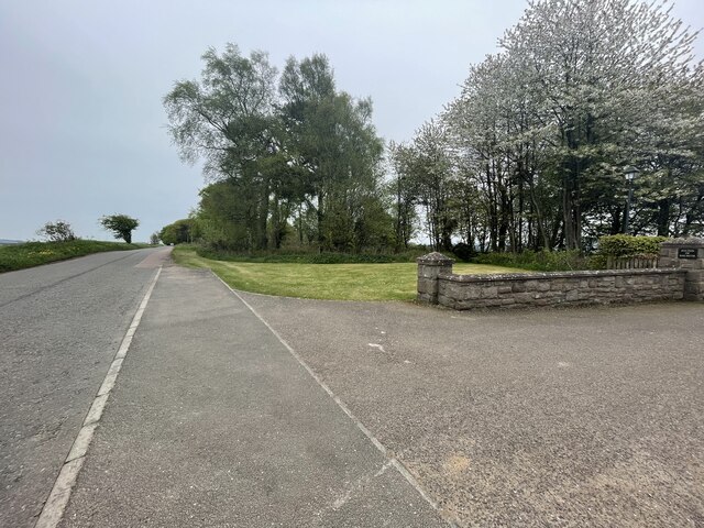
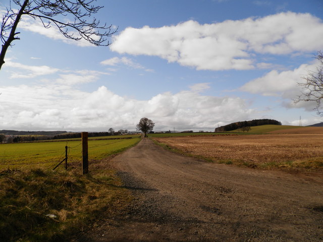
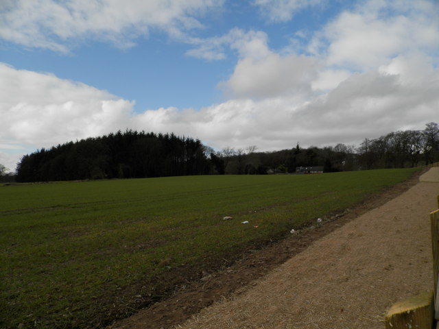
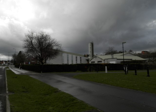
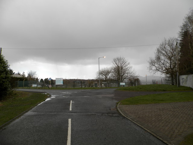
Baldovan is a small village located in the county of Angus, Scotland. Situated about 4 miles north of Dundee, Baldovan is a rural settlement surrounded by picturesque countryside. The village is known for its tranquil atmosphere and beautiful natural surroundings.

One of the notable features of Baldovan is its historic Baldovan House, a grand mansion that dates back to the 17th century. The house is an architectural gem, with its imposing structure and ornate detailing. The surrounding gardens and grounds are well-maintained and provide a serene setting for visitors to enjoy.

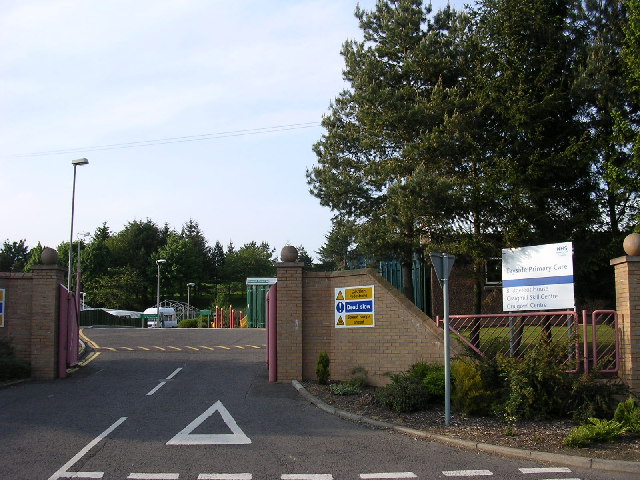
In terms of amenities, Baldovan has a close-knit community that takes pride in its local facilities. The village has a primary school, providing education to the young residents. Additionally, there is a small local shop that caters to the needs of the villagers, ensuring they have access to essential goods.

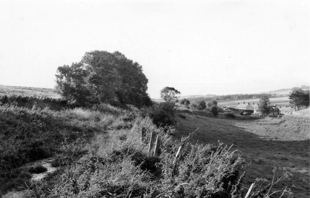
The area around Baldovan offers plenty of opportunities for outdoor activities, making it an ideal place for nature enthusiasts. The surrounding countryside is dotted with walking trails, providing scenic routes for hikers and nature lovers. The nearby Sidlaw Hills provide a picturesque backdrop and offer panoramic views of the Angus countryside.

While Baldovan is a relatively small village, its proximity to Dundee allows residents to easily access the amenities and services of a larger city. Overall, Baldovan is a charming village that combines a peaceful rural setting with easy access to urban facilities.

If you have any feedback on the listing, please let us know in the comments section below.

Baldovan Images

Images are sourced within 2km of 56.498426/-2.9948394 or Grid Reference NO3834. Thanks to Geograph Open Source API. All images are credited.

Emmock Road Geocaching is a type of global treasure hunt of people looking for caches, or hidden stashes of objects. Geocaching may also be described as a series of hide-and-seek games, where hiders provide online clues for seekers. Seekers use global positioning system (GPS) devices to find hidden caches
Emmock Road
Geocaching is a type of global treasure hunt of people looking for caches, or hidden stashes of objects. Geocaching may also be described as a series of hide-and-seek games, where hiders provide online clues for seekers. Seekers use global positioning system (GPS) devices to find hidden caches
Track to Balmydown
Track to Balmydown
Field at Baldovan
Field at Baldovan
Industrial premises, Faraday Street, Dundee
Chalmers-Ardler Church of Scotland, Dundee
Scottish Water Depot, Clatto Looks like more of the wet stuff is about to arrive!
Scottish Water Depot, Clatto
Looks like more of the wet stuff is about to arrive!
Minor road near Emmock
Track to Emmock Farm
Field at Emmock Farm
Staffa Place, Dundee Serving an industrial area.
Staffa Place, Dundee
Serving an industrial area.
Accuvent Off Staffa Place, Dundee. Ventilation engineers.
Accuvent
Off Staffa Place, Dundee. Ventilation engineers.
Kingsway Retail Park
Old Milestone by Strathmartine Road, Bridgefoot Stone post by the UC road, in parish of Mains of Strathmartine (Angus District), Bridgefoot, junction with Craigmill Road.

Defaced inscription reads:-
North Face:
Not visible.
West Face: 
TO BALUDERON
{<-arrow} 2 MILES
TO (??)
{<-arrow} 2½ MILES
TO DOWNFIELD
1¾ MILES {arrow->} 
TO DUNDEE
(3?) MILES {arrow->} 

Surveyed

Milestone Society National ID: AN_DDAH03bf
Old Milestone by Strathmartine Road, Bridgefoot
Stone post by the UC road, in parish of Mains of Strathmartine (Angus District), Bridgefoot, junction with Craigmill Road. Defaced inscription reads:- North Face: Not visible. West Face: TO BALUDERON {<-arrow} 2 MILES TO (??) {<-arrow} 2½ MILES TO DOWNFIELD 1¾ MILES {arrow->} TO DUNDEE (3?) MILES {arrow->} Surveyed Milestone Society National ID: AN_DDAH03bf
Bridges over Kingsway West The A90 road is a major north to south highway in eastern Scotland, starting in Edinburgh and running for 146 miles up the majority of the east coast to end in Fraserburgh (although immediately north of the Forth it has been replaced by the similarly numbered M90).
Bridges over Kingsway West
The A90 road is a major north to south highway in eastern Scotland, starting in Edinburgh and running for 146 miles up the majority of the east coast to end in Fraserburgh (although immediately north of the Forth it has been replaced by the similarly numbered M90).
Dundee, Kingsway West The A90 road is a major north to south highway in eastern Scotland, starting in Edinburgh and running for 146 miles up the majority of the east coast to end in Fraserburgh (although immediately north of the Forth it has been replaced by the similarly numbered M90).
Dundee, Kingsway West
The A90 road is a major north to south highway in eastern Scotland, starting in Edinburgh and running for 146 miles up the majority of the east coast to end in Fraserburgh (although immediately north of the Forth it has been replaced by the similarly numbered M90).
A90 Kingsway approaching Old Glamis Road Junction The A90 road is a major north to south highway in eastern Scotland, starting in Edinburgh and running for 146 miles up the majority of the east coast to end in Fraserburgh (although immediately north of the Forth it has been replaced by the similarly numbered M90).
A90 Kingsway approaching Old Glamis Road Junction
The A90 road is a major north to south highway in eastern Scotland, starting in Edinburgh and running for 146 miles up the majority of the east coast to end in Fraserburgh (although immediately north of the Forth it has been replaced by the similarly numbered M90).
Pedestrian Bridge over Kingsway at Strathmartine Rd Junction The A90 road is a major north to south highway in eastern Scotland, starting in Edinburgh and running for 146 miles up the majority of the east coast to end in Fraserburgh (although immediately north of the Forth it has been replaced by the similarly numbered M90).
Pedestrian Bridge over Kingsway at Strathmartine Rd Junction
The A90 road is a major north to south highway in eastern Scotland, starting in Edinburgh and running for 146 miles up the majority of the east coast to end in Fraserburgh (although immediately north of the Forth it has been replaced by the similarly numbered M90).
In Kingsway West Retail Park Just like any other out-of-town retail park, with the same businesses and the same big car park.
In Kingsway West Retail Park
Just like any other out-of-town retail park, with the same businesses and the same big car park.
Show me another place!

Baldovan is located at Grid Ref: NO3834 (Lat: 56.498426, Lng: -2.9948394)

Unitary Authority: Angus

Police Authority: Tayside

What 3 Words

///arts.still.herbs. Near Dundee, Dundee City

Related Wikis

Balgowan, Dundee

Balgowan is an area of Dundee, Scotland. The name derives from the Scottish Gaelic Baile Ghobhainn, meaning "blacksmith's stead" (cf also Govan in Glasgow...

Strathmartine

Strathmartine is an area of Angus, Scotland (named after a local mythical hero, Strathmartin The Dragonslayer). It is to the north of Dundee and the surrounding...

Baldragon Academy

Baldragon Academy is a six-year comprehensive in the Kirkton area of the city of Dundee, Scotland. It was originally named Kirkton High School until merging...

Downfield F.C.

Downfield Football Club are a Scottish junior football club based in the Downfield area of Dundee. Their home ground is Downfield Park. == History == The...

Baldovan railway station

Baldovan railway station, later renamed Baldovan and Downfield, served the northern suburbs of Dundee around Strathmartine, including Bridgefoot, Downfield...

Strathmartine Hospital

Strathmartine Hospital was a health facility in Craigmaill Road, Strathmartine, Angus, Scotland. It was managed by NHS Tayside. It remains a Category B...

Downfield, Dundee

Downfield is a residential area located in the north of Dundee, Scotland, centred on the stretch of the Strathmartine Road between the Kingsway and the...

Baldragon railway station

Baldragon railway station served the village of Baldragon in the Scottish county of Angus. Services were provided by the Dundee and Newtyle Railway....

Nearby Amenities

Located within 500m of 56.498426,-2.9948394
Traffic Calming: choker
Lat/Long: 56.4958188/-2.9909779
Traffic Calming: table
Lat/Long: 56.4961844/-2.9953963
Turning Circle
Turning Circle: circle
Lat/Long: 56.4966759/-2.9939768
Balgowan
Name Gd: Baile Ghobhainn
Name Gv: Balley ny Gaauin
Place: suburb
Wikidata: Q3644388
Wikipedia: en:Balgowan, Dundee
Lat/Long: 56.4971248/-2.9975363
Post Box
Collection Times: Mo-Fr 09:00; Sa 07:00
Manufacturer: Carron Company Stirlingshire
Operator: Royal Mail
Post Box Type: pillar
Ref: DD3 135D
Royal Cypher: scottish_crown
Source: survey
Lat/Long: 56.4954764/-3.0009686
Pitempton Farm
Place: hamlet
Lat/Long: 56.5010081/-2.9993599
Strathmartine Hospital
Place: hamlet
Lat/Long: 56.5015603/-2.9973804
Turning Circle
Lat/Long: 56.4962528/-3.0000835
Bus Stop
Harestane Road
Bus: yes
Naptan AtcoCode: 6400PT1686
Naptan CommonName: Harestane Road
Naptan Indicator: near
Naptan NaptanCode: 36325464
Naptan Verified: no
Public Transport: platform
Lat/Long: 56.4959413/-3.0011404
Bus Stop
McLean Street
Bus: yes
Naptan AtcoCode: 64006817
Naptan CommonName: McLean Street
Naptan Indicator: at
Naptan NaptanCode: 36325768
Naptan Verified: no
Public Transport: platform
Lat/Long: 56.496163/-3.0016728
Bus Stop
St Lukes Road
Naptan AtcoCode: 640014198
Naptan CommonName: St Lukes Road
Naptan Indicator: opp
Naptan NaptanCode: 36326298
Naptan Verified: no
Public Transport: platform
Lat/Long: 56.4942212/-2.9962327
Bus Stop
St Lukes Road
Naptan AtcoCode: 640014200
Naptan CommonName: St Lukes Road
Naptan Indicator: at
Naptan NaptanCode: 36326323
Naptan Verified: no
Public Transport: platform
Lat/Long: 56.4941975/-2.9960932
Bus Stop
Baldovan road
Fixme: Check if bus stop exists.
Naptan AtcoCode: 640014085
Naptan CommonName: Baldovan road
Naptan Indicator: at
Naptan NaptanCode: 36326248
Naptan Verified: no
Public Transport: platform
Lat/Long: 56.4960668/-2.9945456
Bus Stop
Whitburn Place
Fixme: Check if bus stop exists.
Naptan AtcoCode: 640012230
Naptan CommonName: Whitburn Place
Naptan Indicator: at
Naptan NaptanCode: 36325946
Naptan Verified: no
Public Transport: platform
Lat/Long: 56.4959476/-2.9918231
Kindergarten
Jessie Porter Nursery School
Addr City: Dundee
Addr Housenumber: 67
Addr Postcode: DD3 0LF
Addr Street: Harestane Road
Email: jessieporterearlyyears@dundeeschools.scot
Isced Level: 0
Operator: Dundee City Council
Phone: +44 1382 436513
School Gender: mixed
Website: https://www.dundeecity.gov.uk/service-area/children-and-families-service/education/jessie-porter-nursery-school
Lat/Long: 56.4952806/-2.9908776
Noexit: yes
Lat/Long: 56.496146/-2.9971004
Barrier: cycle_barrier
Lat/Long: 56.4951928/-2.9967663
Access: yes
Entrance: main
Lat/Long: 56.49541/-2.9905117
Grit Bin
Lat/Long: 56.4947168/-2.9927733
Grit Bin
Lat/Long: 56.4948659/-2.9906542
Traffic Calming: choker
Lat/Long: 56.4956681/-2.989265
Crossing
Crossing: uncontrolled
Crossing Markings: zebra
Traffic Calming: table
Lat/Long: 56.4959606/-2.9926712
Passing Place
Lat/Long: 56.4952805/-2.9895813
Grit Bin
Lat/Long: 56.4952935/-2.9896539
The data included in this document is from www.openstreetmap.org. The data is made available under ODbL.

Have you been to Baldovan?

Leave your review of Baldovan below (or comments, questions and feedback).