Baledgarno

Settlement in Perthshire

Scotland

Baledgarno

Pile of snow at Scottish Antique and Art Centre, Abernyte
Pile of snow at Scottish Antique and Art Centre, Abernyte Credit: Sandy Gerrard

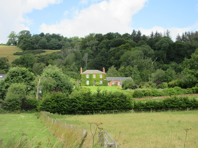
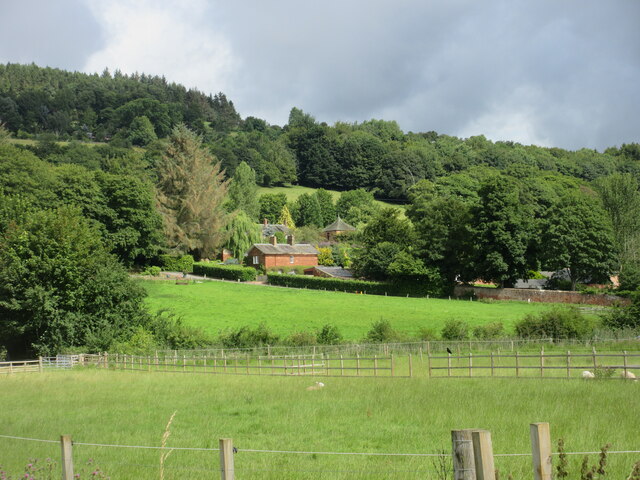
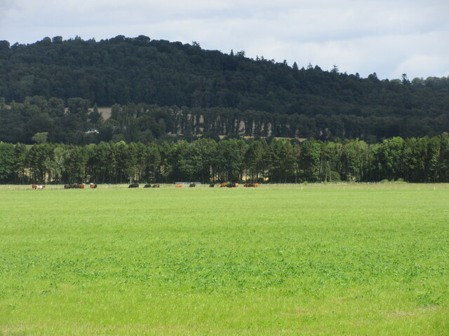
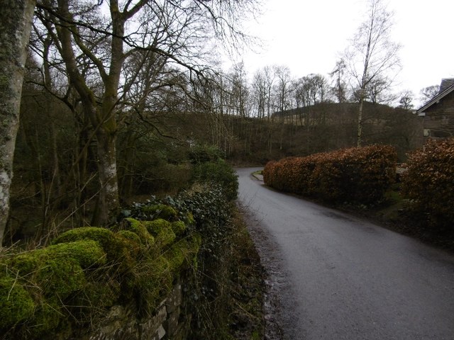
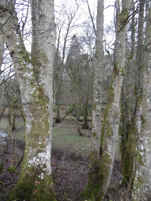
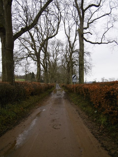
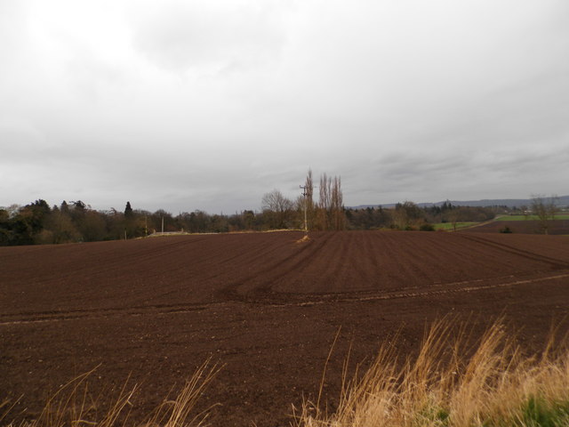
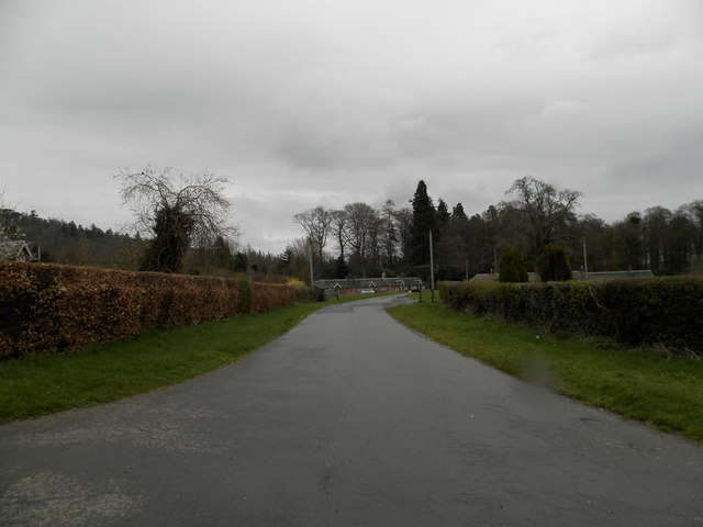
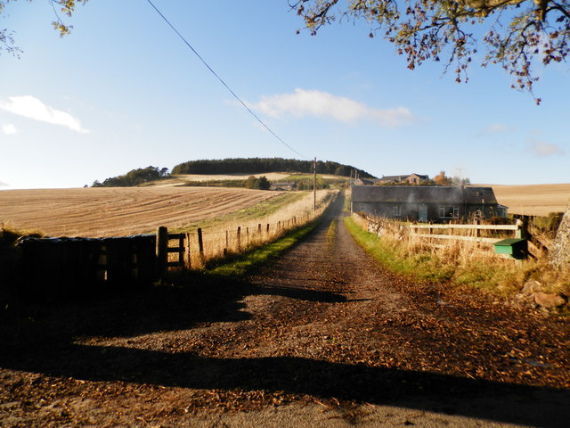
Baledgarno is a small rural settlement located in Perthshire, Scotland. Situated in the heart of the picturesque countryside, Baledgarno is surrounded by rolling hills, lush farmland, and dense forestry, making it an ideal destination for nature lovers and outdoor enthusiasts.

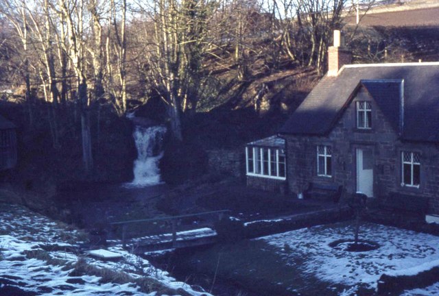
The village itself is comprised of a handful of traditional stone houses, giving it a charming and rustic atmosphere. Baledgarno is home to a close-knit community, known for its friendly and welcoming residents. The village has a strong sense of community spirit, with various social events and gatherings held throughout the year.

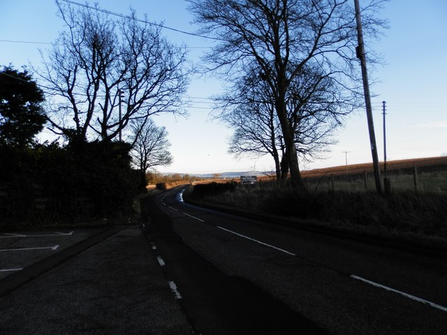
One of the main attractions in Baledgarno is its natural beauty. The surrounding area offers numerous walking and hiking trails, allowing visitors to explore the stunning Scottish countryside. The nearby River Tay also provides opportunities for fishing and boating activities.

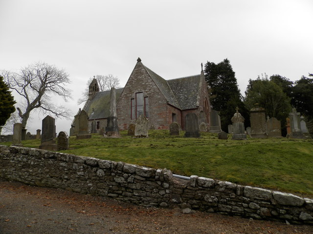
For those interested in history, Baledgarno is located near several historical sites and landmarks. The nearby town of Perth, just a short drive away, offers a wealth of cultural and historical attractions, including Scone Palace and Perth Museum and Art Gallery.

Although Baledgarno may be small in size, it offers a peaceful and idyllic setting for those seeking a break from the hustle and bustle of city life. With its beautiful scenery, friendly community, and rich history, Baledgarno is a hidden gem in the heart of Perthshire.

If you have any feedback on the listing, please let us know in the comments section below.
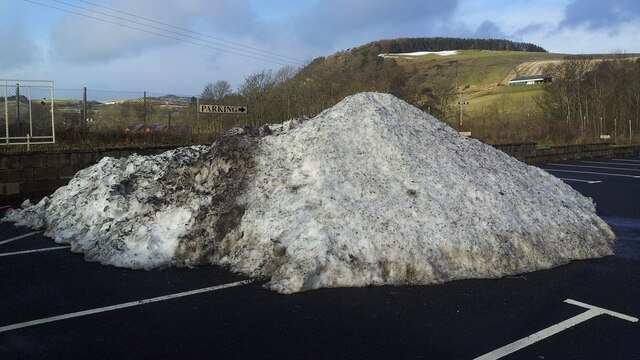
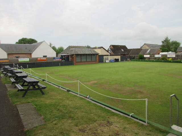
Baledgarno Images

Images are sourced within 2km of 56.457591/-3.1766476 or Grid Reference NO2730. Thanks to Geograph Open Source API. All images are credited.

Pile of snow at Scottish Antique and Art Centre, Abernyte
Milestone in Inchture Milestone denoting Dundee and Perth, outside the Inchture Hotel on the Main Street.
Milestone in Inchture
Milestone denoting Dundee and Perth, outside the Inchture Hotel on the Main Street.
Inchture Bowling Club The bowling green and club in the village of Inchture.
Inchture Bowling Club
The bowling green and club in the village of Inchture.
Inchture War Memorial The war memorial in the cemetery at Inchture.
Inchture War Memorial
The war memorial in the cemetery at Inchture.
Inchture & Kinnaird Parish Church The red brick parish church in the village of Inchture, viewed from the north.
Inchture & Kinnaird Parish Church
The red brick parish church in the village of Inchture, viewed from the north.
Ivy-clad house at Easter Ballindean Looking north from the High Carse Road to an ivy-clad frontage at Easter Ballindean.
Ivy-clad house at Easter Ballindean
Looking north from the High Carse Road to an ivy-clad frontage at Easter Ballindean.
Ballindean Estate Looking northwards from the High Carse Road to buildings and dwellings on the Ballindean Estate at the foot of the Braes of the Carse.
Ballindean Estate
Looking northwards from the High Carse Road to buildings and dwellings on the Ballindean Estate at the foot of the Braes of the Carse.
Green flat field near Ballindean Flat pasture with cattle in the distance, between Ballindean and Inchture.
Green flat field near Ballindean
Flat pasture with cattle in the distance, between Ballindean and Inchture.
Lane near Knapp The road has just crossed the Knapp Burn beside the wall of Rossie Priory Estate.
Lane near Knapp
The road has just crossed the Knapp Burn beside the wall of Rossie Priory Estate.
Knapp Den Rossie Woodlands.  The wall had recently collapsed here, a common occurrence during periods of heavy rain.
Knapp Den
Rossie Woodlands. The wall had recently collapsed here, a common occurrence during periods of heavy rain.
Flooded road, Knapp The road is covered in washed off sandy soil and standing water.
Flooded road, Knapp
The road is covered in washed off sandy soil and standing water.
Knapp Presumably this conical hill is the origin of the name. The maps do not do justice to it, and it really does deserve another ring contour.
Knapp
Presumably this conical hill is the origin of the name. The maps do not do justice to it, and it really does deserve another ring contour.
The B953 near Abernyte
House and waterfall near Knapp village
Abernyte Parish Church The church was built in 1736 to replace a pre 1400 building. It is believed that there may have been a Celtic church here much earlier.
The church at Abernyte is linked to Longforgan Parish Church, Inchture Church and Kinnaird Church.
Abernyte Parish Church
The church was built in 1736 to replace a pre 1400 building. It is believed that there may have been a Celtic church here much earlier. The church at Abernyte is linked to Longforgan Parish Church, Inchture Church and Kinnaird Church.
Ploughed field near Baledgarno
Private road to Baledgarno
Track to Kirkton Farm near Abernyte
Show me another place!

Baledgarno is located at Grid Ref: NO2730 (Lat: 56.457591, Lng: -3.1766476)

Unitary Authority: Perth and Kinross

Police Authority: Tayside

What 3 Words

///collect.miss.skim. Near Inchture, Perth & Kinross

Related Wikis

Inchture

Inchture (Scottish Gaelic: Innis Tùir) is a village in Scotland between Dundee and Perth on the northern side of the Firth of Tay. It is approximately...

Inchture Village railway station

Inchture Village railway station was a railway station in the village of Inchture, Perthshire, Scotland. The Inchture Railway Bus service operated a service...

Knapp, Perthshire

Knapp is a hamlet in Perth and Kinross, Scotland. It is located to the northeast of Inchture, about 9.7 miles (15.6 km) by road west of the city centre...

Abernyte

Abernyte is a small village in Perth and Kinross in Scotland. == Geography == The village lies roughly 2 miles (3 kilometres) northwest of the former Inchture...

Related Videos

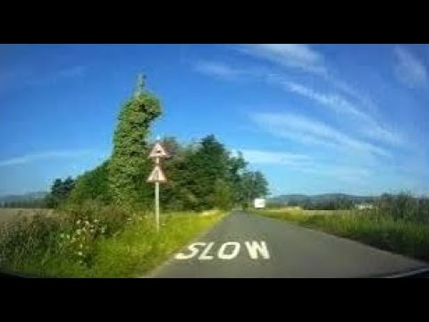
Late Spring Road Trip Drive From Dundee To Visit Parish Church In Abernyte Perthshire Scotland

Tour Scotland 4K late Spring early Summer travel video, with Scottish music, of a road trip drive West on the A90 road then North ...

Road Trip Drive With Accordion Music On History Visit To Inchture Perthshire Scotland

Tour Scotland 4K late Summer early Autumn travel video of a road trip drive, with Scottish accordion music, on rural routes on ...

Spring Road Trip Drive From Dundee To Visit Parish Church In Abernyte Perthshire Scotland

Tour Scotland Spring travel video, with Scottish music, of a road trip drive West on the A90 road then North on the B953 road to ...

Nearby Amenities

Located within 500m of 56.457591,-3.1766476
Baledgarno
Place: village
Lat/Long: 56.4583095/-3.1756708
Mill dam
1860name: Mill dam
Pont: no
Stobie1783: yes
Designation: Historic mill
Historic: archaeological_site
Source: OS Six inch 1st series
Lat/Long: 56.4597433/-3.1768586
Power: pole
Lat/Long: 56.4610094/-3.1819
Power: pole
Lat/Long: 56.4607401/-3.1808047
Power: pole
Lat/Long: 56.4602192/-3.1806161
Power: pole
Lat/Long: 56.4594151/-3.1803619
Power: pole
Lat/Long: 56.4586437/-3.1800886
Power: pole
Lat/Long: 56.4580326/-3.1798831
Power: pole
Lat/Long: 56.4574063/-3.1796797
Power: pole
Lat/Long: 56.4566466/-3.1788704
Power: pole
Lat/Long: 56.4558377/-3.1779976
Power: pole
Lat/Long: 56.455024/-3.1771396
Power: pole
Lat/Long: 56.4544445/-3.1765125
Power: pole
Lat/Long: 56.453865/-3.1759193
Power: pole
Lat/Long: 56.4531766/-3.1751587
Power: pole
Lat/Long: 56.4618638/-3.1771459
Power: pole
Lat/Long: 56.4613675/-3.1778429
Power: pole
Lat/Long: 56.4608467/-3.1785209
Power: pole
Lat/Long: 56.4604943/-3.1789764
Power: pole
Lat/Long: 56.4603574/-3.1798132
Power: pole
Lat/Long: 56.4600109/-3.1818894
Power: pole
Lat/Long: 56.4598271/-3.1830016
Power: pole
Lat/Long: 56.4594549/-3.183991
Power: pole
Lat/Long: 56.4569627/-3.1845588
Power: pole
Lat/Long: 56.4587034/-3.1788683
Power: pole
Lat/Long: 56.4587467/-3.1778217
Power: pole
Lat/Long: 56.4586729/-3.1775929
Power: pole
Lat/Long: 56.4546096/-3.1753854
Power: pole
Lat/Long: 56.4552664/-3.1749341
Power: pole
Lat/Long: 56.4566126/-3.1740189
Power: pole
Lat/Long: 56.4571886/-3.174485
Power: pole
Lat/Long: 56.4577329/-3.1749638
Post Box
Collection Times: Mo-Fr 12:00; Sa 11:30
Manufacturer: W.T.Allen & Co. London
Operator: Royal Mail
Post Box Mounting: building
Post Box Type: wall
Ref: PH14 187
Royal Cypher: EVIIR
Royal Cypher Wikidata: Q33102324
Source: survey;local knowledge
Lat/Long: 56.4580005/-3.1740767
The data included in this document is from www.openstreetmap.org. The data is made available under ODbL.

Have you been to Baledgarno?

Leave your review of Baledgarno below (or comments, questions and feedback).