Ashfield
Settlement in Yorkshire
England
Ashfield

Ashfield is a small village located in the East Riding of Yorkshire, England. Situated approximately 12 miles east of York, it is nestled amidst picturesque countryside and offers a tranquil and idyllic setting for its residents. The village is part of the Ryedale district and falls within the civil parish of Kirkbymoorside.
With a population of just over 200 people, Ashfield is a close-knit community where neighbors are familiar with each other. The village is characterized by its charming stone-built houses, many of which date back several centuries, giving it a distinctive historic character. The architecture reflects the traditional Yorkshire style, with pitched roofs and small windows.
Despite its small size, Ashfield boasts a strong sense of community spirit and offers a range of amenities for its residents. These include a local convenience store, a village hall that hosts various events and gatherings, and a well-maintained playground for children. The village also benefits from being surrounded by beautiful green spaces, making it an ideal location for nature enthusiasts and those looking to escape the hustle and bustle of city life.
Ashfield enjoys good transport links, with several major roads passing nearby, including the A170 and A64. The village is well-connected to neighboring towns and cities, making it convenient for commuting and accessing amenities further afield. Overall, Ashfield offers a peaceful and picturesque environment, making it an attractive place to live for those seeking a rural lifestyle in the heart of Yorkshire.
If you have any feedback on the listing, please let us know in the comments section below.
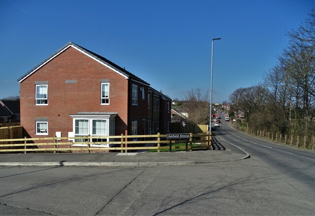
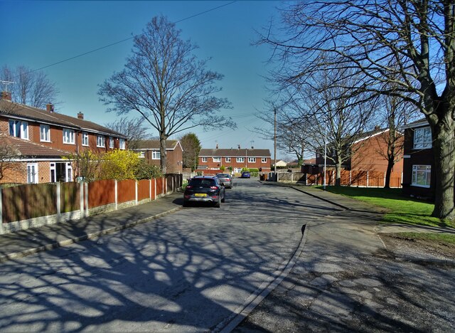
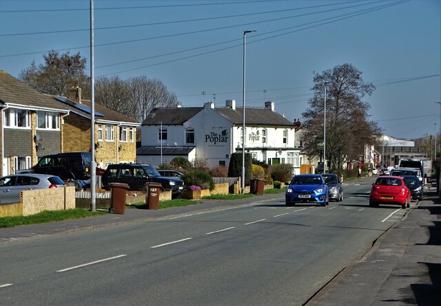
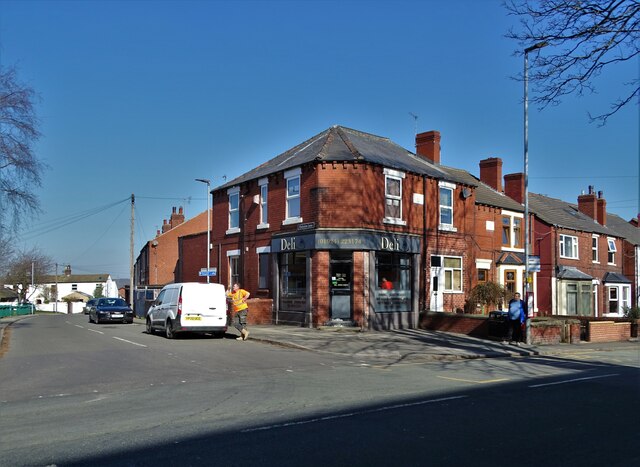
Ashfield Images
Images are sourced within 2km of 53.704089/-1.414809 or Grid Reference SE3823. Thanks to Geograph Open Source API. All images are credited.


Ashfield is located at Grid Ref: SE3823 (Lat: 53.704089, Lng: -1.414809)
Division: West Riding
Unitary Authority: Wakefield
Police Authority: West Yorkshire
What 3 Words
///bucket.clues.mainly. Near Normanton, West Yorkshire
Nearby Locations
Related Wikis

Normanton (UK Parliament constituency)
Normanton was a county constituency represented in the House of Commons of the Parliament of the United Kingdom. It elected one Member of Parliament (MP...
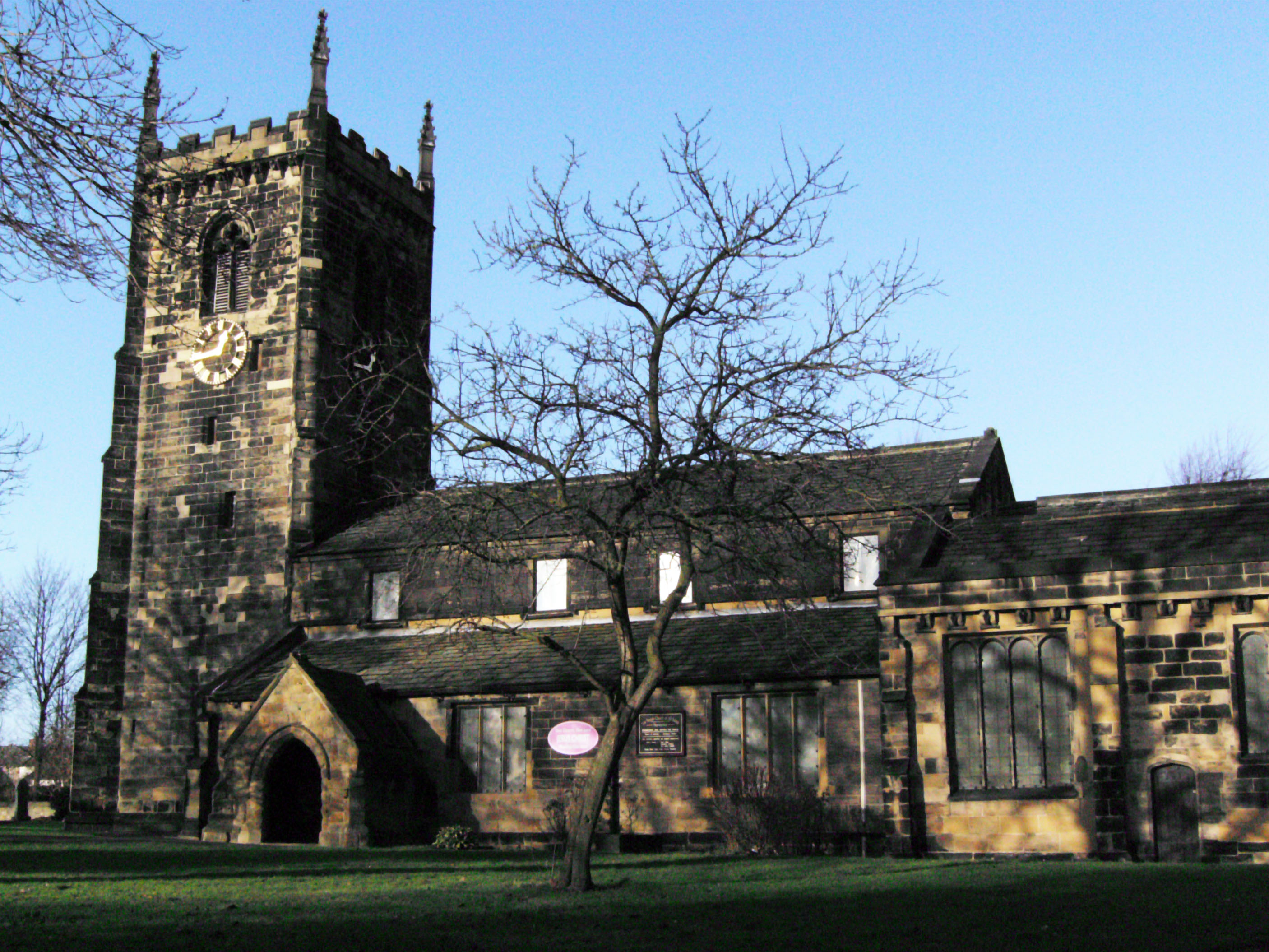
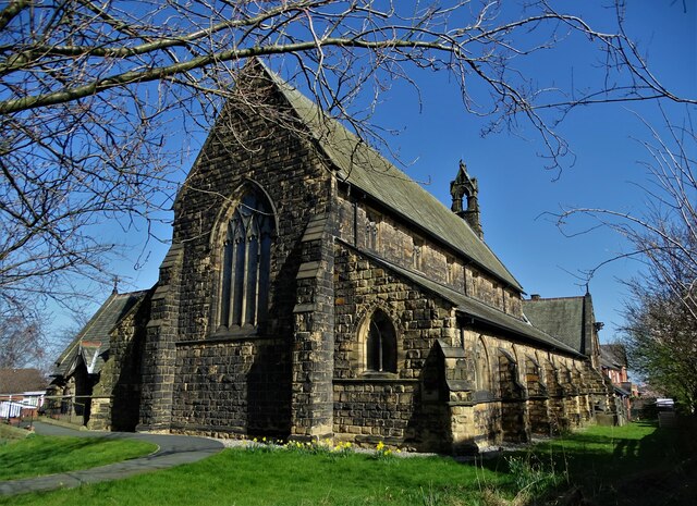
All Saints' Church, Normanton
All Saints' Church is the parish church in Normanton, West Yorkshire, England. == History == The current church is believed to have existed since at least...
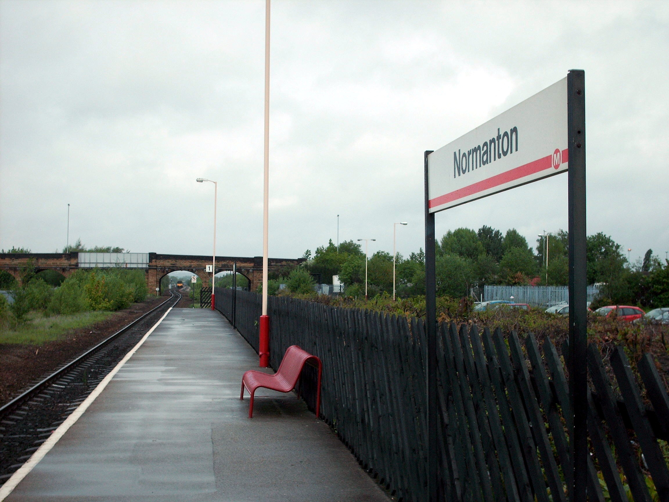
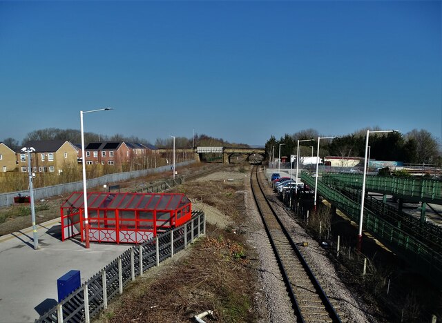
Normanton railway station
Normanton railway station serves the town of Normanton in West Yorkshire, England. It lies 11 miles (18 km) south-east of Leeds railway station on the...

Normanton (electoral ward)
Normanton is an electoral ward of the City of Wakefield district used for elections to Wakefield Metropolitan District Council. == Overview == The ward...

Altofts
Altofts is a village in West Yorkshire, England. It lies 5 miles (8 km) north-east from the centre of Wakefield and less than 1 mile (1.6 km) north-west...

Normanton, West Yorkshire
Normanton is a town and civil parish in the City of Wakefield in West Yorkshire, England. It is north-east of Wakefield and south-west of Castleford....
Altofts and Whitwood
Altofts and Whitwood is an electoral ward of the City of Wakefield district used for elections to Wakefield Metropolitan District Council. == Overview... ==
Outwood Academy Freeston
Outwood Academy Freeston (known locally as Freeston), formerly The Freeston Academy, is a state run, coeducational high school situated in Normanton, West...
Related Videos
Full video coming-soon.. #travel #Digarland #travlingvibes #daytrip #travelvlog #kidsactivities
travel #travelphotography #travelgram #travelblogger #instatravel #traveling #nature #wanderlust #travelling #trip #adventure ...

Ha Long Bay Is Vietnam's Paradise | Travel Vietnam
short video about travelling just do it and go to #Vietnam.


NORMANTON: Wakefield Parish #30 of 30
Originally surrounded by a moat, and in Norman times a site of an enclosed settlement (chosen for its strategic view points across ...
Nearby Amenities
Located within 500m of 53.704089,-1.414809Have you been to Ashfield?
Leave your review of Ashfield below (or comments, questions and feedback).