Haw Hill
Hill, Mountain in Yorkshire
England
Haw Hill

Haw Hill, located in Yorkshire, England, is an iconic landmark that stands at an elevation of 293 meters (961 feet) above sea level. It is part of the rolling landscape of the Yorkshire Wolds, a range of low-lying hills and gentle valleys in the East Riding of Yorkshire. Despite being called a hill, it is often referred to as a mountain due to its height and the relative flatness of the surrounding area.
Haw Hill is notable for its commanding views of the surrounding countryside, offering panoramic vistas that stretch for miles. On a clear day, one can see the nearby market town of Beverley, as well as the Humber Estuary and the North Sea beyond. The hill is covered in lush green grass, dotted with occasional patches of heather, giving it a picturesque appearance.
The hill is a popular destination for walkers, hikers, and nature enthusiasts, who come to enjoy its tranquil atmosphere and stunning scenery. A network of footpaths and trails crisscross the area, allowing visitors to explore its beauty at their own pace. The summit of Haw Hill is accessible via a moderately challenging hike, rewarding those who reach the top with breathtaking views.
In addition to its natural beauty, Haw Hill also holds historical significance. It is believed to have been a site of prehistoric activity, with archaeological finds suggesting human presence in the area dating back thousands of years.
Overall, Haw Hill is a captivating destination that offers a blend of natural splendor, outdoor recreation, and a glimpse into the region's rich history.
If you have any feedback on the listing, please let us know in the comments section below.
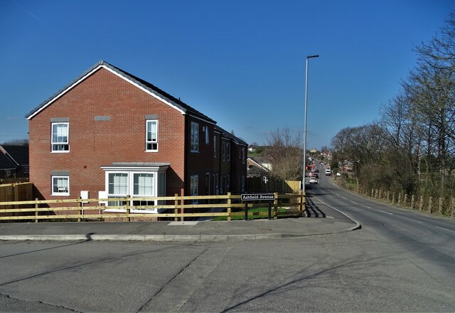
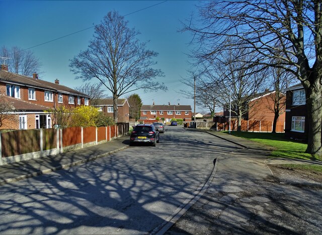
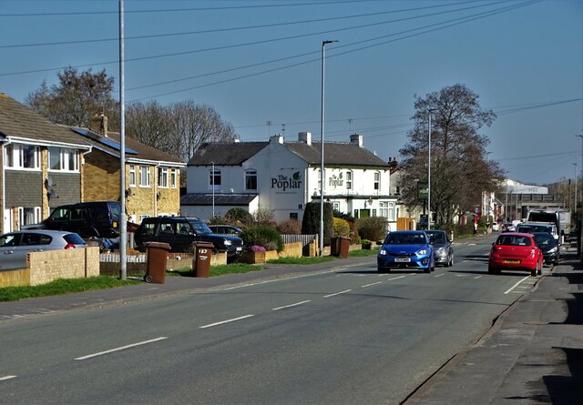
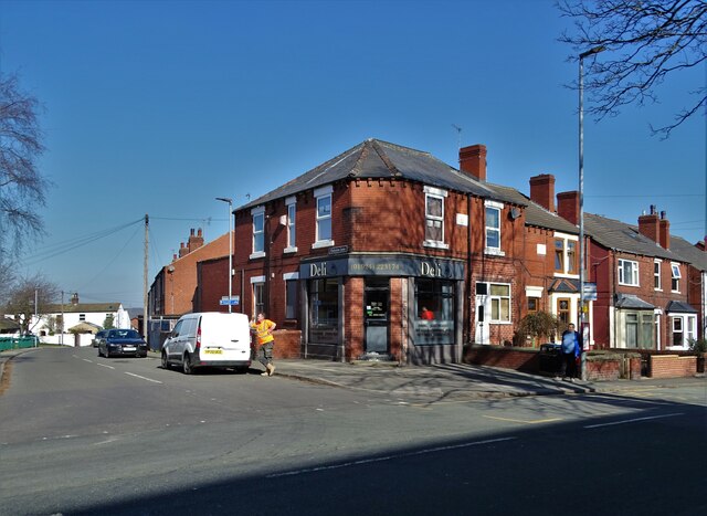
Haw Hill Images
Images are sourced within 2km of 53.702083/-1.4125495 or Grid Reference SE3823. Thanks to Geograph Open Source API. All images are credited.


Haw Hill is located at Grid Ref: SE3823 (Lat: 53.702083, Lng: -1.4125495)
Division: West Riding
Unitary Authority: Wakefield
Police Authority: West Yorkshire
What 3 Words
///feasting.troubles.little. Near Normanton, West Yorkshire
Nearby Locations
Related Wikis

Normanton (UK Parliament constituency)
Normanton was a county constituency represented in the House of Commons of the Parliament of the United Kingdom. It elected one Member of Parliament (MP...
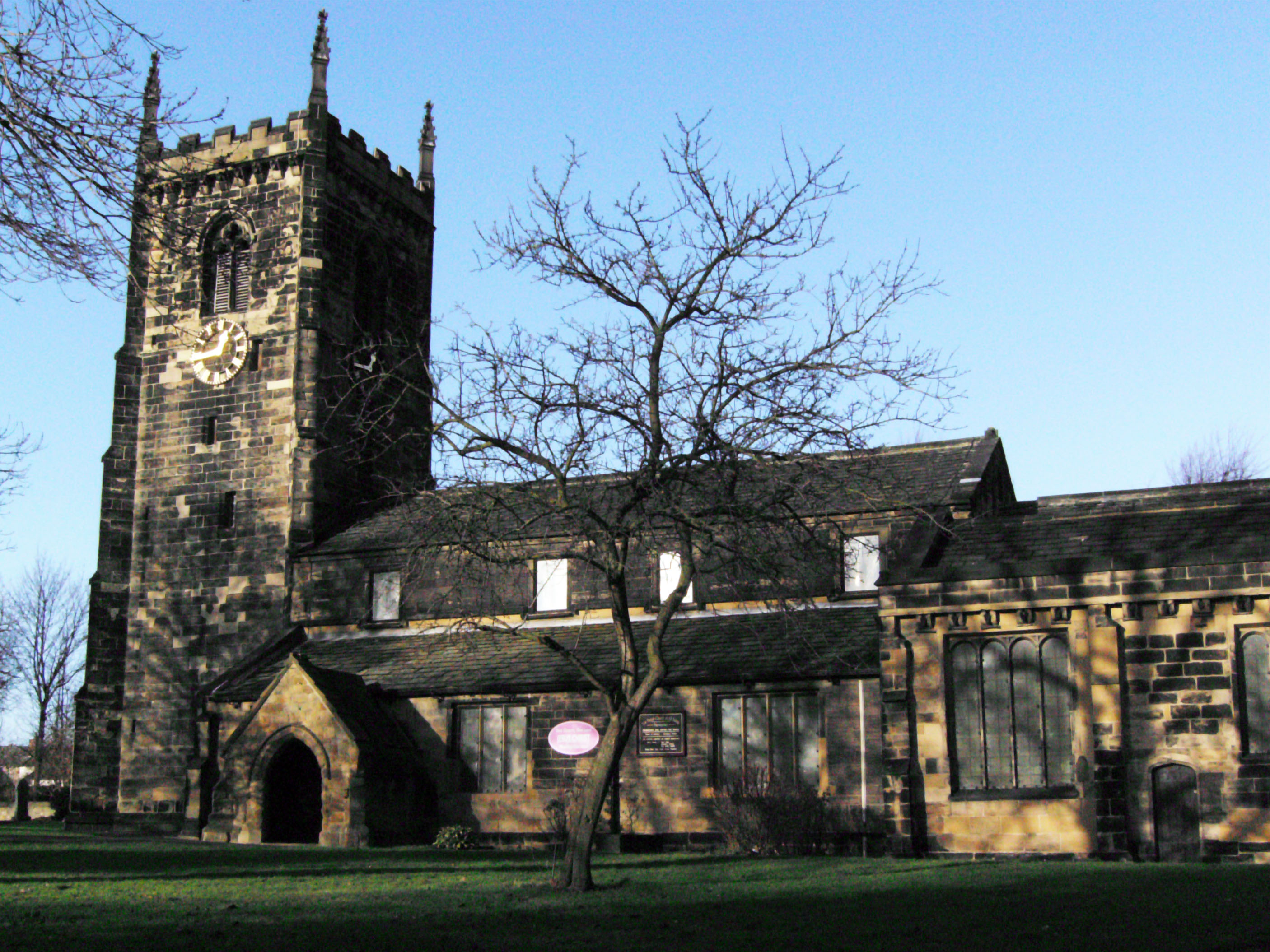
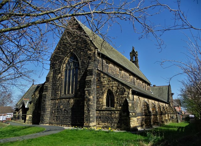
All Saints' Church, Normanton
All Saints' Church is the parish church in Normanton, West Yorkshire, England. == History == The current church is believed to have existed since at least...

Normanton (electoral ward)
Normanton is an electoral ward of the City of Wakefield district used for elections to Wakefield Metropolitan District Council. == Overview == The ward...

Altofts
Altofts is a village in West Yorkshire, England. It lies 5 miles (8 km) north-east from the centre of Wakefield and less than 1 mile (1.6 km) north-west...

Normanton, West Yorkshire
Normanton is a town and civil parish in the City of Wakefield in West Yorkshire, England. It is north-east of Wakefield and south-west of Castleford....
Altofts and Whitwood
Altofts and Whitwood is an electoral ward of the City of Wakefield district used for elections to Wakefield Metropolitan District Council. == Overview... ==
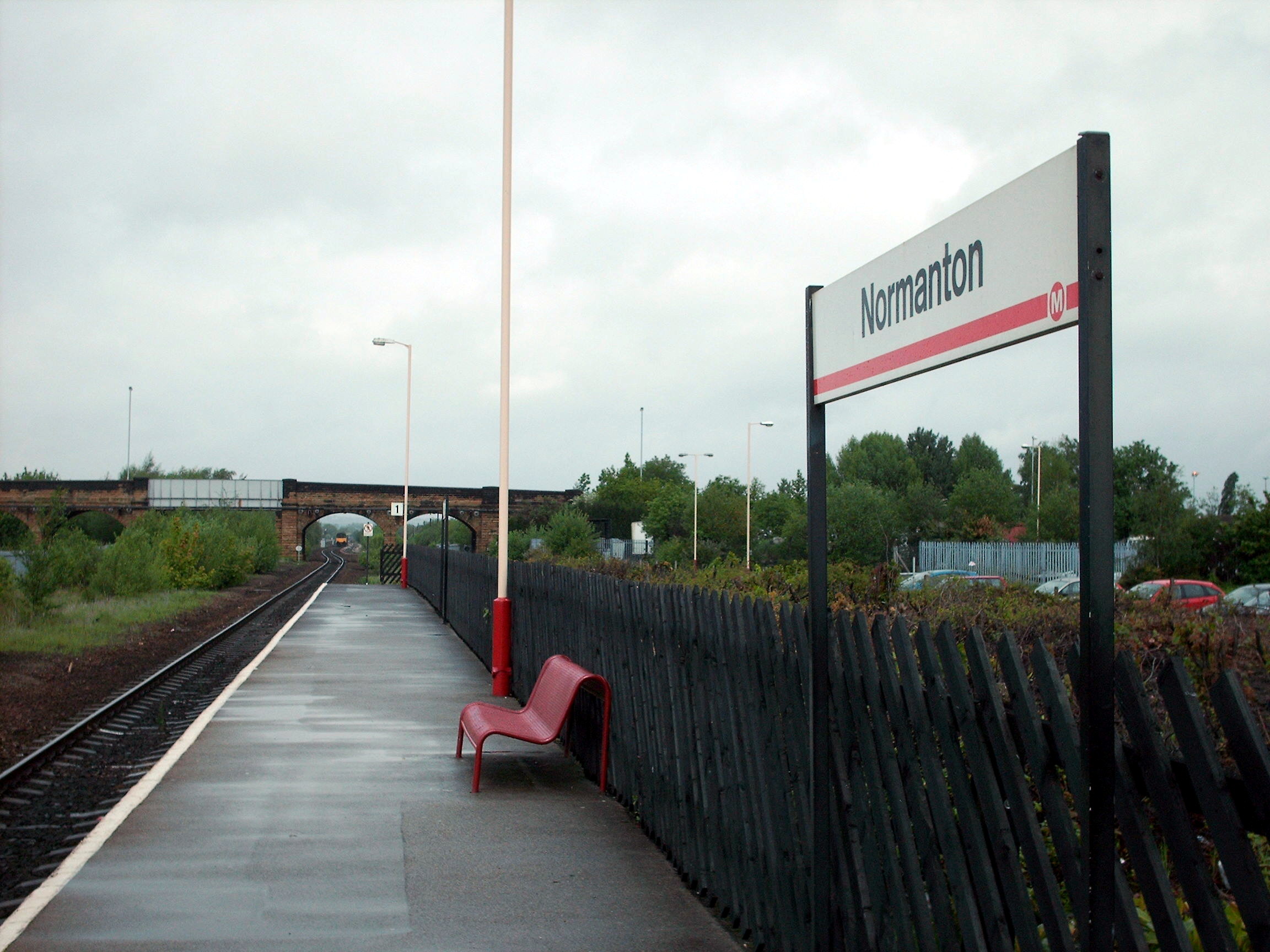
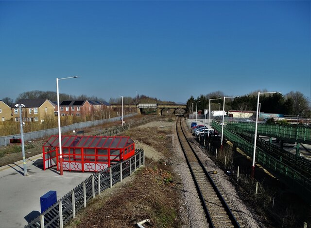
Normanton railway station
Normanton railway station serves the town of Normanton in West Yorkshire, England. It lies 11 miles (18 km) south-east of Leeds railway station on the...
Outwood Academy Freeston
Outwood Academy Freeston (known locally as Freeston), formerly The Freeston Academy, is a state run, coeducational high school situated in Normanton, West...
Nearby Amenities
Located within 500m of 53.702083,-1.4125495Have you been to Haw Hill?
Leave your review of Haw Hill below (or comments, questions and feedback).