Andrew's Hill
Settlement in Sussex Horsham
England
Andrew's Hill
Andrew's Hill is a small village located in the county of Sussex, England. Situated in the South Downs National Park, the village offers stunning panoramic views of the surrounding countryside. With a population of approximately 500 residents, Andrew's Hill maintains a close-knit and friendly community atmosphere.
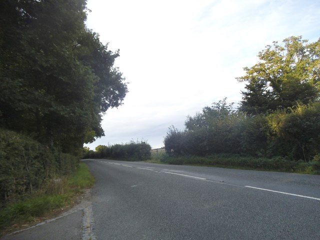
The village is known for its picturesque landscapes, with rolling hills and meandering streams that create a tranquil and idyllic setting. The area is also rich in wildlife, making it a popular destination for nature enthusiasts and bird watchers alike.
Andrew's Hill is steeped in history, with evidence of human activity dating back to the Stone Age. The village is home to several historic landmarks, including an ancient church that dates back to the 12th century. The church's architecture showcases a blend of Norman and Gothic styles, making it an architectural gem.
In terms of amenities, Andrew's Hill offers a range of facilities to cater to its residents and visitors. These include a village hall, a local pub, and a small convenience store. The village also hosts various community events throughout the year, fostering a sense of togetherness among its inhabitants.
For outdoor enthusiasts, there are ample opportunities for activities such as hiking, cycling, and horseback riding. The South Downs Way, a long-distance footpath, passes through the village, providing access to breathtaking trails and breathtaking viewpoints.
In summary, Andrew's Hill is a charming village in Sussex, offering a peaceful and scenic retreat for those seeking a rural getaway. With its rich history, beautiful landscapes, and strong community spirit, it is a place that holds undeniable appeal for both residents and visitors.
If you have any feedback on the listing, please let us know in the comments section below.
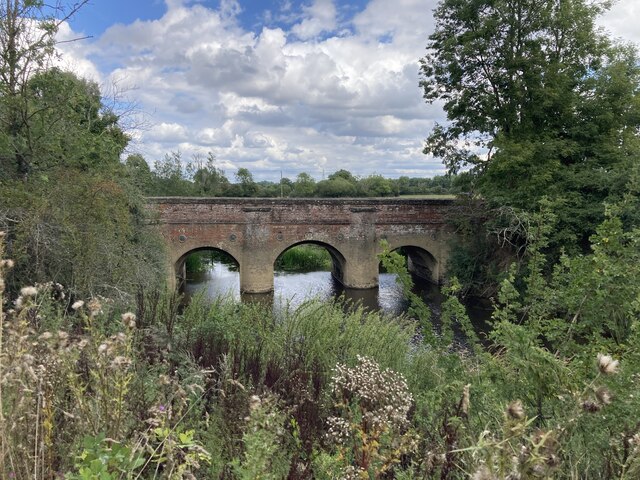
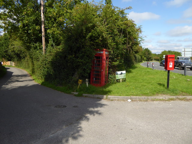
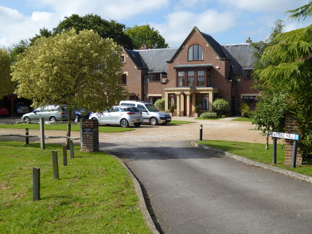
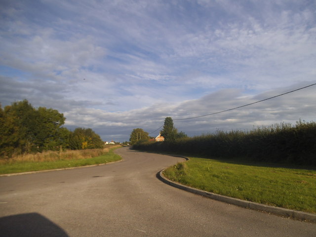
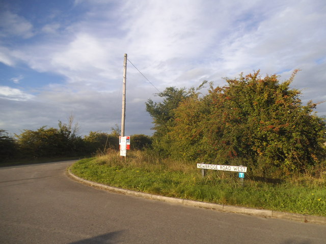
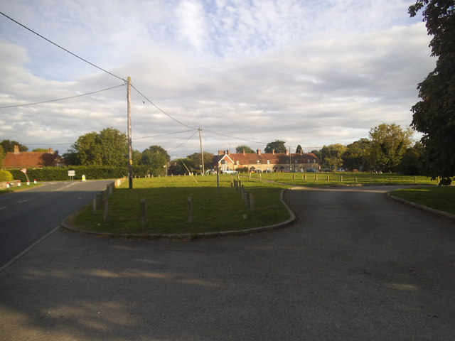
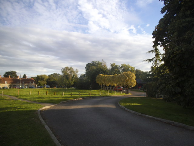
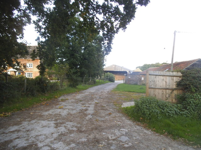
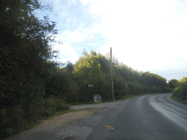
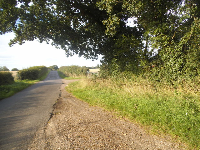
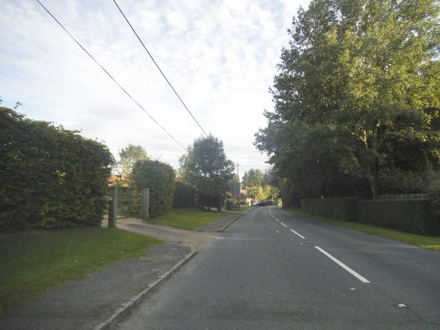
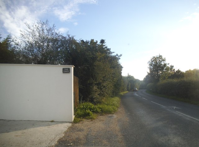
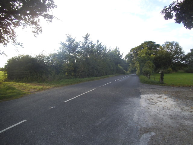
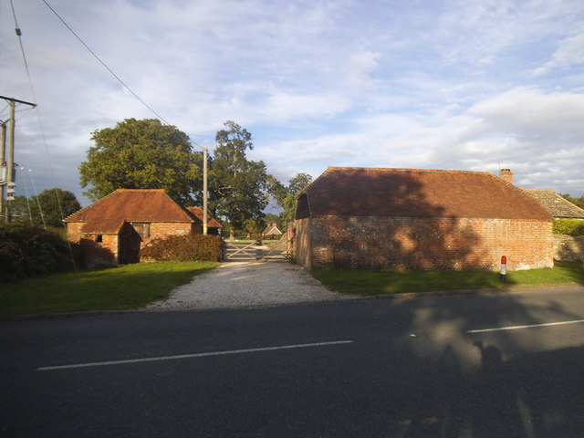
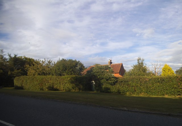
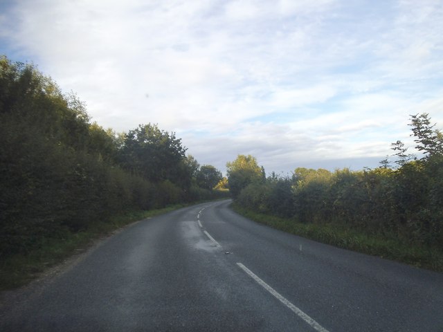
Andrew's Hill Images
Images are sourced within 2km of 51.007781/-0.46369196 or Grid Reference TQ0724. Thanks to Geograph Open Source API. All images are credited.

Andrew's Hill is located at Grid Ref: TQ0724 (Lat: 51.007781, Lng: -0.46369196)
Administrative County: West Sussex
District: Horsham
Police Authority: Sussex
What 3 Words
///other.flagpole.mural. Near Billingshurst, West Sussex
Nearby Locations
Related Wikis

A29 road
The A29 is a main road in England in Surrey and chiefly in West Sussex that runs for 34.4 miles (55.4 km). == Route == The road starts at the Beare Green...

Adversane
Adversane is a large hamlet in the Horsham District of West Sussex, England, located 1.5 miles south of Billingshurst (where, at the 2011 Census, the population...

The Weald School
The Weald School is a coeducational secondary school and sixth form. It caters for around 1,700 pupils in years 7 to 13, including over 300 in its sixth...

Billingshurst railway station
Billingshurst Railway Station serves the market town of Billingshurst, in West Sussex, England. It is on the Arun Valley Line 44 miles 71 chains (72.2...

Billingshurst Unitarian Chapel
Billingshurst Unitarian Chapel is a place of worship in Billingshurst in the English county of West Sussex. The cottage-like building was erected in 1754...

Billingshurst
Billingshurst is a village and civil parish in the Horsham District of West Sussex, England. The village lies on the A29 road (the Roman Stane Street)...
Billingshurst F.C.
Billingshurst Football Club is a football club based in Billingshurst, West Sussex, England. They are currently members of the Southern Combination Division...

Coneyhurst Cutting
Coneyhurst Cutting is a 0.2-hectare (0.49-acre) geological Site of Special Scientific Interest south-east of Billingshurst in West Sussex. It is a Geological...
Nearby Amenities
Located within 500m of 51.007781,-0.46369196Have you been to Andrew's Hill?
Leave your review of Andrew's Hill below (or comments, questions and feedback).