Anchorage Hill

Settlement in Yorkshire Richmondshire

England

Anchorage Hill

Track heading down towards the Swale The track drops steeply from the level of Easby down to the floodplain on the north bank of the River Swale, where the bridleway ends. A footpath emerges on the far side, slightly downstream - perhaps a right-of-way established by someone habitually riding his horse down to the river and across it, where he was thrown on to the far bank ? The track which is crossed by this one at the foot of the slope is the remains of the railway which went to Richmond.
Track heading down towards the Swale Credit: Andy Waddington

Anchorage Hill is a picturesque village located in the county of Yorkshire, England. Nestled amidst rolling hills and lush countryside, this charming settlement offers a tranquil and idyllic escape from the hustle and bustle of modern life. With a population of around 500 residents, Anchorage Hill exudes a close-knit community vibe.

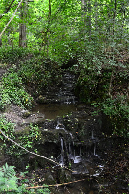
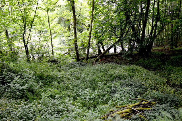
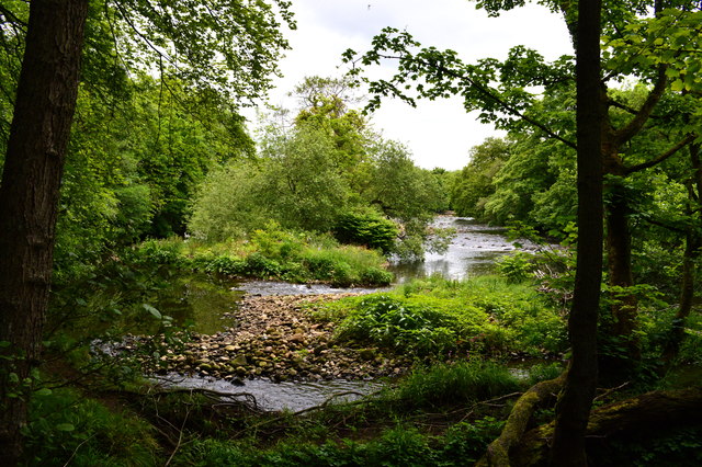
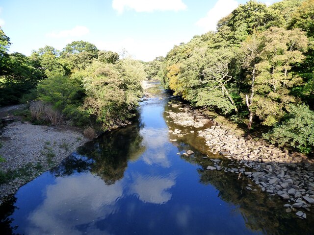
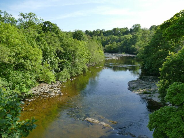
The village is renowned for its stunning natural beauty, with panoramic views of the surrounding Yorkshire Dales and the nearby River Wharfe. Visitors are often drawn to the area for its peaceful atmosphere and the opportunity to explore the great outdoors. Hiking trails, cycling routes, and bridle paths are abundant, making Anchorage Hill an ideal destination for outdoor enthusiasts.

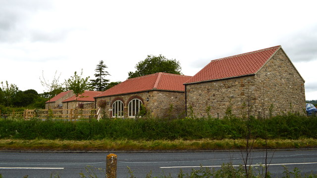
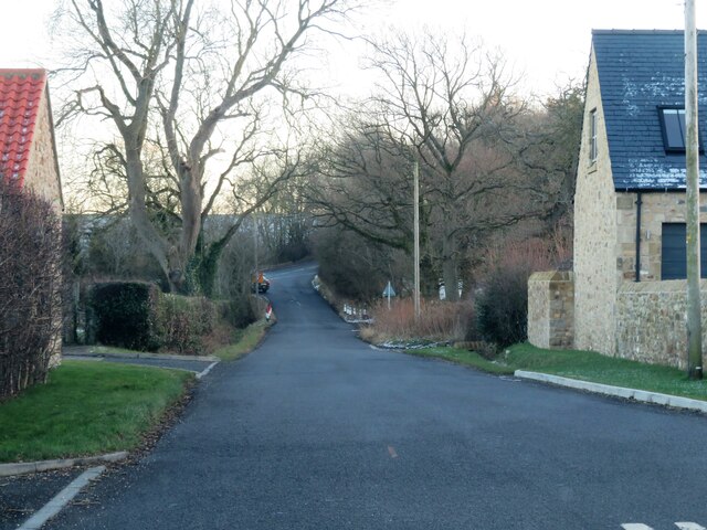
The architecture in Anchorage Hill is predominantly traditional, with many stone-built houses and cottages lining the winding streets. The village center features a quaint square, complete with a charming parish church and several local shops, including a village store and a cozy tearoom. Additionally, Anchorage Hill boasts a friendly village pub, a hub of social activity for both locals and visitors.

The village holds various annual events and festivals, such as the Anchorage Hill Summer Fair, which showcases local arts, crafts, and produce. The community also organizes regular social gatherings and activities to foster a sense of togetherness.

Overall, Anchorage Hill offers a serene and picturesque retreat, combining natural beauty with a strong community spirit. Whether you're seeking relaxation, outdoor adventures, or a taste of traditional English village life, this hidden gem in Yorkshire provides an inviting destination for all.

If you have any feedback on the listing, please let us know in the comments section below.

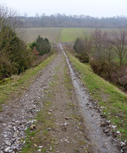
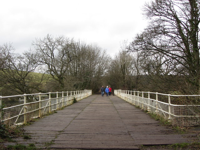
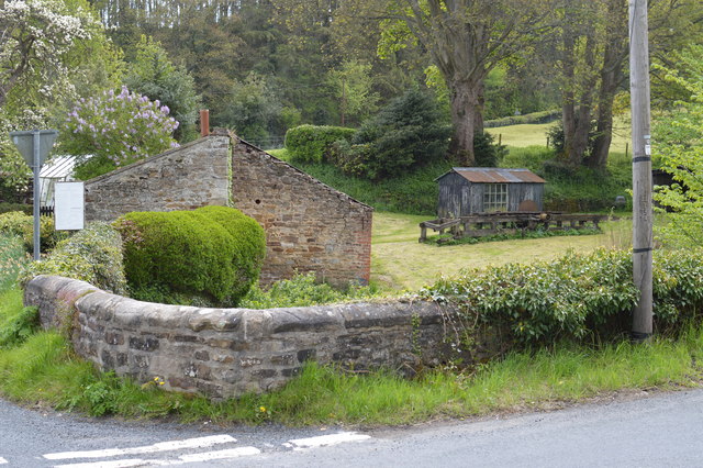
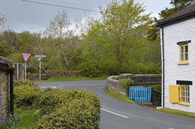
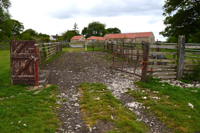
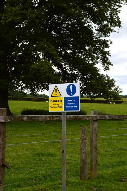
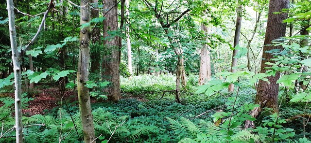
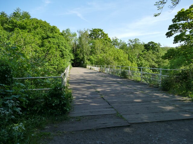
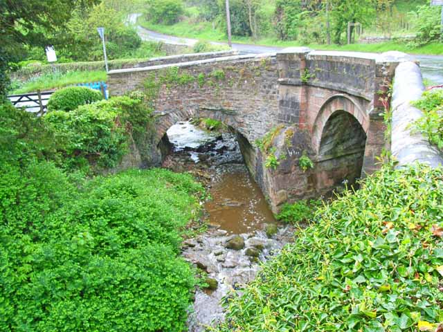
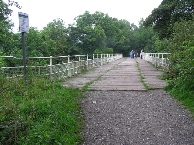
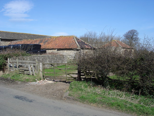
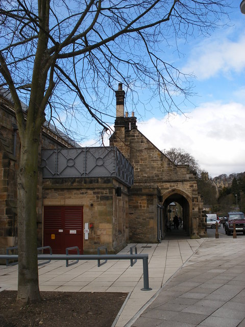
Anchorage Hill Images

Images are sourced within 2km of 54.405016/-1.7265716 or Grid Reference NZ1701. Thanks to Geograph Open Source API. All images are credited.

Track heading down towards the Swale The track drops steeply from the level of Easby down to the floodplain on the north bank of the River Swale, where the bridleway ends. A footpath emerges on the far side, slightly downstream - perhaps a right-of-way established by someone habitually riding his horse down to the river and across it, where he was thrown on to the far bank ? The track which is crossed by this one at the foot of the slope is the remains of the railway which went to Richmond.
Track heading down towards the Swale
The track drops steeply from the level of Easby down to the floodplain on the north bank of the River Swale, where the bridleway ends. A footpath emerges on the far side, slightly downstream - perhaps a right-of-way established by someone habitually riding his horse down to the river and across it, where he was thrown on to the far bank ? The track which is crossed by this one at the foot of the slope is the remains of the railway which went to Richmond.
Former railway bridge over the River Swale
Stone Outbuilding and Garden at Sandbeck Note also the shed with picture window and the extra long bench saw (now derelict) for cutting tree trunks.
Stone Outbuilding and Garden at Sandbeck
Note also the shed with picture window and the extra long bench saw (now derelict) for cutting tree trunks.
Road Junction near Brokes Meeting of minor roads between Leyburn, Richmond and Catterick Garrison
Road Junction near Brokes
Meeting of minor roads between Leyburn, Richmond and Catterick Garrison
Waterfalls in Hagg Wood On the Coast to Coast footpath.
Waterfalls in Hagg Wood
On the Coast to Coast footpath.
Deer under Iron Banks River Swale in background.
Deer under Iron Banks
River Swale in background.
River Swale south of Richmond Here the river hangs a sharp left and we see several streamlets as the river eats into the bank on our left.
River Swale south of Richmond
Here the river hangs a sharp left and we see several streamlets as the river eats into the bank on our left.
Barn conversion at the former Woodhouse Farm Contrast with earlier geograph for this square.
Barn conversion at the former Woodhouse Farm
Contrast with earlier geograph for this square.
Sheep Pens A rather Heath Robinson arrangement for penning sheep prior to loading onto trailers.
Sheep Pens
A rather Heath Robinson arrangement for penning sheep prior to loading onto trailers.
Welcome! Always does to do as you're told! :D
Welcome!
Always does to do as you're told! :D
River Swale View from disused railway bridge.
River Swale
View from disused railway bridge.
Approach to the main road from Woodhouse Farm Heading south east along Sandbeck towards the junction with A6136.
Approach to the main road from Woodhouse Farm
Heading south east along Sandbeck towards the junction with A6136.
Trees in Park Wood
Trees in Park Wood
Former railway bridge across the Swale at Easby On the 1846 branch line to Richmond. Now part of a walking and cycling trail.
Former railway bridge across the Swale at Easby
On the 1846 branch line to Richmond. Now part of a walking and cycling trail.
The Swale downstream from Easby Viewed from the old railway bridge.
The Swale downstream from Easby
Viewed from the old railway bridge.
Twin bridges An intriguing pair of adjacent bridges; Badger Beck to the left, Sand Beck to the right.
Twin bridges
An intriguing pair of adjacent bridges; Badger Beck to the left, Sand Beck to the right.
Railway Bridge 1846-1969 Railway bridge on the old Richmond Branch line, over the River Swale west of Richmond Station. Now part of a riverside walk (Bridleway).
Railway Bridge 1846-1969
Railway bridge on the old Richmond Branch line, over the River Swale west of Richmond Station. Now part of a riverside walk (Bridleway).
Woodhouse Farm 'Vintage' farm buildings at Woodhouse Farm, south of Richmond
Woodhouse Farm
'Vintage' farm buildings at Woodhouse Farm, south of Richmond
Show me another place!

Anchorage Hill is located at Grid Ref: NZ1701 (Lat: 54.405016, Lng: -1.7265716)

Division: North Riding

Administrative County: North Yorkshire

District: Richmondshire

Police Authority: North Yorkshire

What 3 Words

///printout.arranges.switched. Near Richmond, North Yorkshire

Related Wikis

Richmond School

Richmond School & Sixth Form College, often referred to simply as Richmond School, is a coeducational secondary school located in North Yorkshire, England...

Richmond railway station (North Yorkshire)

Richmond railway station was a railway station that served the town of Richmond in North Yorkshire, England. The station was the terminus of a branch line...

St. Martin's Priory, Richmond

St. Martin's Priory, Richmond was a medieval monastic house in North Yorkshire, England. It was a Benedictine house, founded about 1100, originally for...

Church of St Mary the Virgin, Richmond

The Church of St Mary the Virgin, Richmond, is the Anglican parish church in the town of Richmond in North Yorkshire, England. Previously, there was another...

Richmondshire Museum

The Richmondshire Museum is a museum located in Richmond in North Yorkshire, England.The Museum Trust was founded in 1974 by the Soroptimists of Richmond...

Victoria Hospital, Richmond

The Victoria Hospital was a health facility in Queen's Road, Richmond, North Yorkshire, England. It is now used as a funeral director's offices and remains...

Richmond Falls

Richmond Falls are a series of waterfalls along the River Swale, they are situated at grid reference NZ173006 near to the town centre of Richmond, North...

St Francis Xavier School, North Yorkshire

St. Francis Xavier School is a coeducational secondary school situated on Darlington Road, Richmond, North Yorkshire, England. It is a joint Roman Catholic...

Nearby Amenities

Located within 500m of 54.405016,-1.7265716
Traffic Signals
Lat/Long: 54.4066062/-1.7336281
Fuel
Gulf
Brand: Gulf
Brand Wikidata: Q5617505
Brand Wikipedia: en:Gulf Oil LP
Operator: Gulf
Wheelchair: yes
Lat/Long: 54.4067737/-1.7304354
Noexit: yes
Lat/Long: 54.4065548/-1.7331024
Richmond
Historic Railway: station
Railway: site
Wikidata: Q7331056
Wikipedia: en:Richmond railway station (North Yorkshire)
Lat/Long: 54.4028313/-1.7292287
Noexit: yes
Lat/Long: 54.4059442/-1.7255177
Crossing
Crossing: traffic_signals
Crossing Ref: pelican
Lat/Long: 54.4040958/-1.7339941
Crossing
Crossing: traffic_signals
Source: survey
Lat/Long: 54.408022/-1.7250497
Post Box
Brand: Royal Mail
Brand Wikidata: Q638098
Mapillary: 698354711691421
Operator: Royal Mail
Operator Wikidata: Q638098
Post Box Mounting: pier
Post Box Type: lamp
Ref: DL10 8
Source: survey
Survey Date: 2022-09-07
Lat/Long: 54.4078875/-1.7257813
Restaurant
Seasons Restaurant
Wheelchair: yes
Lat/Long: 54.402964/-1.729371
Cinema
The Station Cinema
Addr City: Richmond
Addr Country: GB
Addr Province: North Yorkshire
Addr Street: South View
Cinema 3D: yes
Phone: +441748 823 062
Postal Code: DL10 4LD
Screen: 3
Website: https://www.stationcinema.com
Wheelchair: yes
Wikidata: Q39296723
Lat/Long: 54.4031045/-1.729784
Noexit: yes
Lat/Long: 54.4066627/-1.7273772
Barrier: yes
Foot: yes
Lat/Long: 54.4063208/-1.7332619
Access: no
Barrier: kissing_gate
Foot: yes
Locked: no
Wheelchair: no
Lat/Long: 54.4037511/-1.7304299
Drummer Boy stone
Historic: memorial
Lat/Long: 54.4032048/-1.7263984
Post Box
Post Box Type: lamp
Ref: DL10 4
Source: survey
Lat/Long: 54.4005561/-1.7256901
Richmondshire District Council
Office: government
Lat/Long: 54.4039324/-1.7338676
Historic: wayside_cross
Lat/Long: 54.4065435/-1.7335591
Access: yes
Barrier: entrance
Lat/Long: 54.4065229/-1.7335659
Access: yes
Barrier: entrance
Lat/Long: 54.4080587/-1.7299725
Barrier: lift_gate
Lat/Long: 54.408074/-1.7301005
Crossing
Lat/Long: 54.4073211/-1.7274396
Pub
The Ship Inn
Addr City: Richmond
Addr Street: Frenchgate
Wikidata: Q26424161
Lat/Long: 54.406356/-1.7338686
Noexit: yes
Lat/Long: 54.4060462/-1.7283894
Noexit: yes
Lat/Long: 54.4065722/-1.7299526
Shop: convenience
Wheelchair: yes
Lat/Long: 54.4066578/-1.7305107
Post Box
Post Box Type: pillar
Ref: DL10 1
Royal Cypher: GR
Royal Cypher Wikidata: Q33102273
Lat/Long: 54.406573/-1.7315913
Crossing
Crossing: traffic_signals
Crossing Ref: pelican
Lat/Long: 54.4066174/-1.7334277
Noexit: yes
Lat/Long: 54.4065938/-1.7282653
Noexit: yes
Lat/Long: 54.4011103/-1.728122
Life Ring
Emergency: life_ring
Lat/Long: 54.4037256/-1.7318849
66 Frenchgate Guesthouse
Internet Access: wlan
Internet Access Fee: no
Tourism: guest_house
Website: https://66frenchgate.com
Lat/Long: 54.4065104/-1.7331509
Waste Basket
Material: metal
Waste: mixed
Lat/Long: 54.402839/-1.7288505
Vending Machine
Vending: parking_tickets
Lat/Long: 54.4030673/-1.7291127
Waste Basket
Waste: dog_excrement
Lat/Long: 54.403653/-1.7301677
Barrier: stile
Foot: yes
Stile: stepover
Lat/Long: 54.4042699/-1.7312776
Waste Basket
Lat/Long: 54.4054639/-1.7275952
Waste Basket
Waste: dog_excrement
Lat/Long: 54.4065573/-1.731518
Telephone
Booth: KX100
Covered: booth
Not Operator Wikidata: Q593786
Operator: BT
Lat/Long: 54.403194/-1.7303662
Waste Basket
Waste: trash
Lat/Long: 54.4031806/-1.7300858
Ice Cream
Archers Ice Cream
Opening Hours: Mo-Su 11:00-18:00
Outdoor Seating: yes
Lat/Long: 54.4027612/-1.7288525
Richmond Brewery shop
Craft: brewery
Operator: Richmond Brewery
Lat/Long: 54.4026943/-1.7289074
Bench
Backrest: no
Material: plastic
Lat/Long: 54.4019995/-1.727014
Bench: yes
Leisure: picnic_table
Lit: no
Material: wood
Lat/Long: 54.4019698/-1.7267913
Waste Basket
Colour: Black
Material: plastic
Operator: Council
Waste: trash
Lat/Long: 54.4052688/-1.7265755
Toilets
Access: yes
Toilets Disposal: flush
Unisex: yes
Lat/Long: 54.4048587/-1.7332322
The data included in this document is from www.openstreetmap.org. The data is made available under ODbL.

Have you been to Anchorage Hill?

Leave your review of Anchorage Hill below (or comments, questions and feedback).