Boulton Crofts

Settlement in Yorkshire Richmondshire

England

Boulton Crofts

Former railway bridge over the River Swale
Former railway bridge over the River Swale Credit: Gareth James

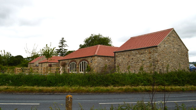
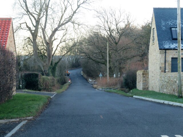
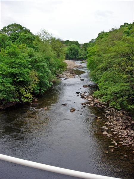
Boulton Crofts is a small village located in the county of Yorkshire, in the northern part of England. Situated in the picturesque countryside, the village offers a tranquil and idyllic setting for its residents and visitors.

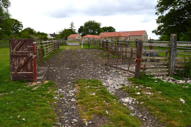
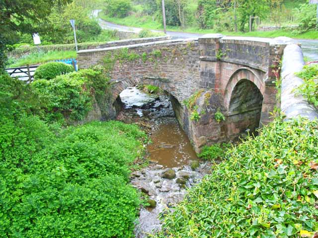
The village is known for its rich history, dating back to medieval times. It is believed that Boulton Crofts was originally a farming community, with its name derived from the Old English words "bula" meaning "a bull" and "tun" meaning "a farmstead". The presence of ancient crofts, or small enclosed fields, further supports this agricultural heritage.

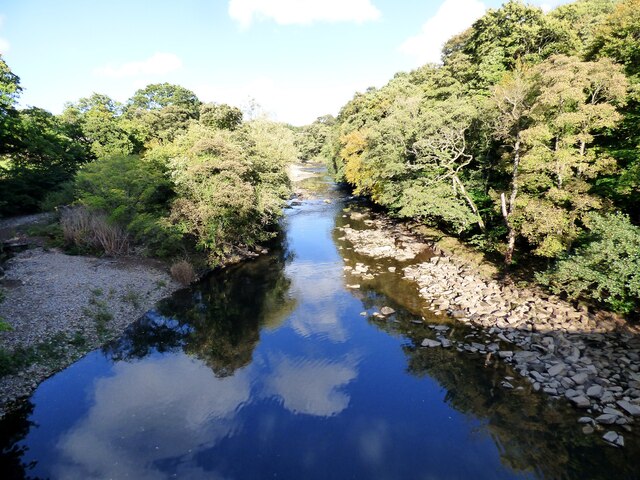
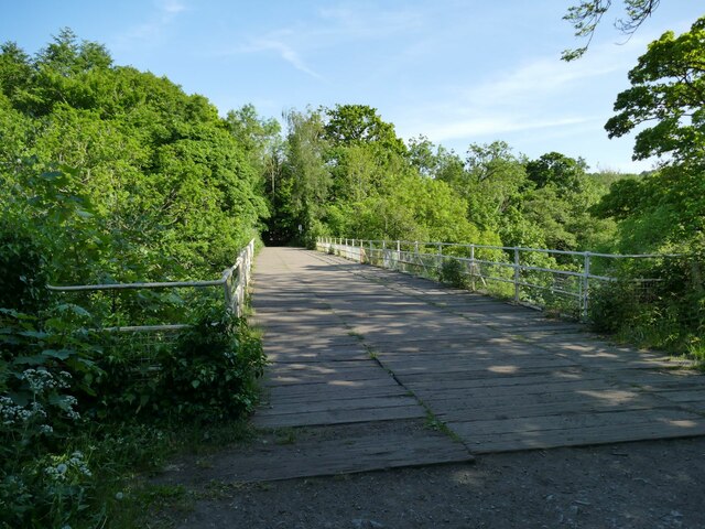
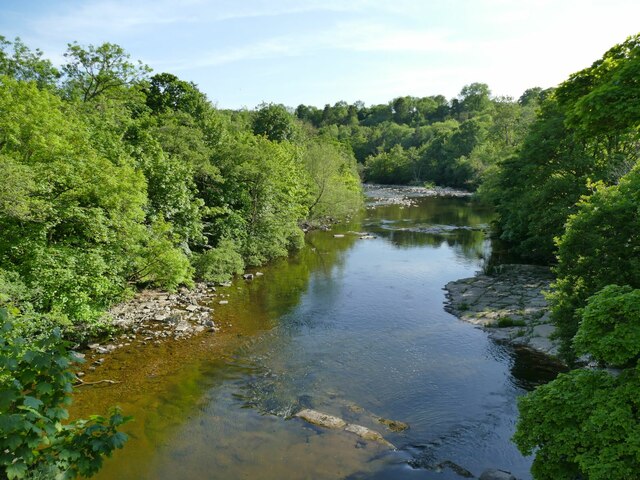
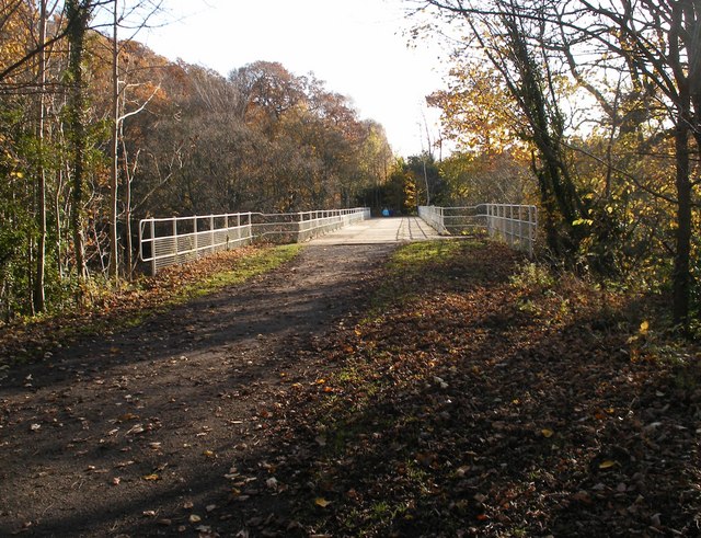
Today, Boulton Crofts maintains its rural character, with charming stone cottages and a close-knit community. The village is surrounded by rolling hills, offering breathtaking views of the countryside. It is a haven for nature lovers, with ample opportunities for hiking, cycling, and exploring the nearby woodlands.

Despite its small size, Boulton Crofts boasts a few amenities for its residents, including a local pub and a village hall that serves as a hub for community events. The village also has a primary school, ensuring that families have access to education within close proximity.

Boulton Crofts is conveniently located near major transport links, with easy access to nearby towns and cities. This allows residents to enjoy the tranquility of village life while still being within reach of urban amenities.

Overall, Boulton Crofts offers a charming and peaceful retreat in the heart of Yorkshire's stunning countryside, making it a desirable place to live or visit for those seeking a slower pace of life.

If you have any feedback on the listing, please let us know in the comments section below.

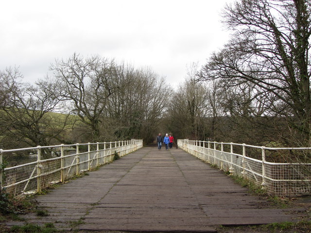
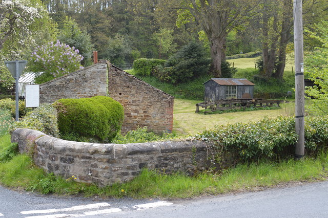
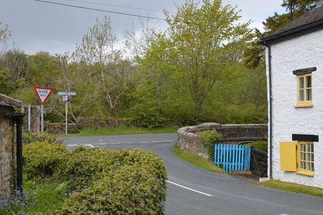
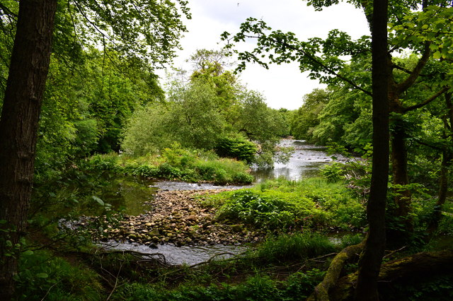
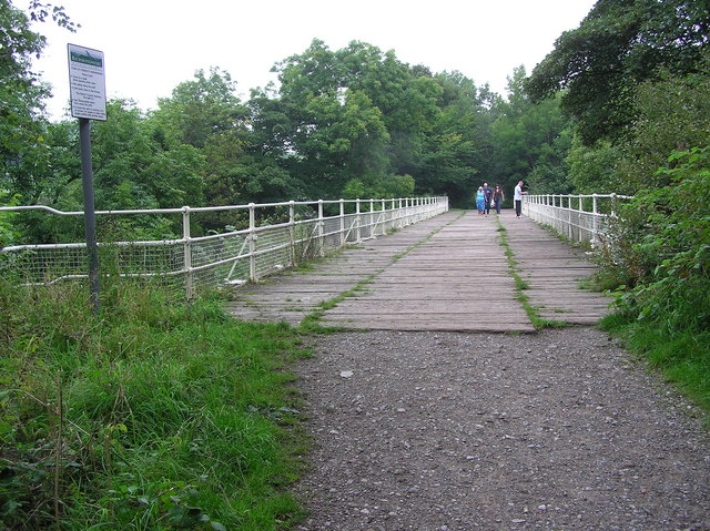
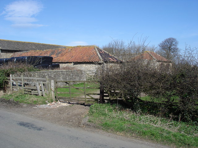
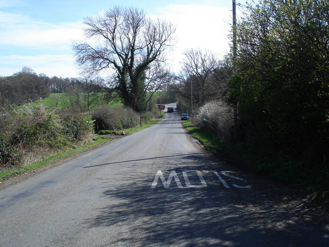
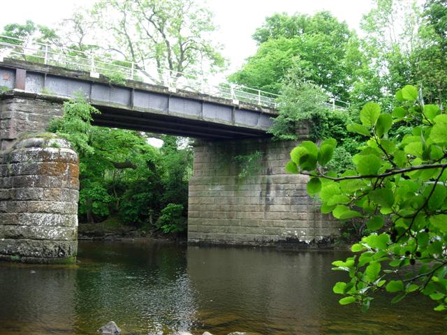
Boulton Crofts Images

Images are sourced within 2km of 54.408733/-1.7332025 or Grid Reference NZ1701. Thanks to Geograph Open Source API. All images are credited.

Former railway bridge over the River Swale
Stone Outbuilding and Garden at Sandbeck Note also the shed with picture window and the extra long bench saw (now derelict) for cutting tree trunks.
Stone Outbuilding and Garden at Sandbeck
Note also the shed with picture window and the extra long bench saw (now derelict) for cutting tree trunks.
Road Junction near Brokes Meeting of minor roads between Leyburn, Richmond and Catterick Garrison
Road Junction near Brokes
Meeting of minor roads between Leyburn, Richmond and Catterick Garrison
River Swale south of Richmond Here the river hangs a sharp left and we see several streamlets as the river eats into the bank on our left.
River Swale south of Richmond
Here the river hangs a sharp left and we see several streamlets as the river eats into the bank on our left.
Barn conversion at the former Woodhouse Farm Contrast with earlier geograph for this square.
Barn conversion at the former Woodhouse Farm
Contrast with earlier geograph for this square.
Sheep Pens A rather Heath Robinson arrangement for penning sheep prior to loading onto trailers.
Sheep Pens
A rather Heath Robinson arrangement for penning sheep prior to loading onto trailers.
Welcome! Always does to do as you're told! :D
Welcome!
Always does to do as you're told! :D
River Swale View from disused railway bridge.
River Swale
View from disused railway bridge.
Approach to the main road from Woodhouse Farm Heading south east along Sandbeck towards the junction with A6136.
Approach to the main road from Woodhouse Farm
Heading south east along Sandbeck towards the junction with A6136.
Former railway bridge across the Swale at Easby On the 1846 branch line to Richmond. Now part of a walking and cycling trail.
Former railway bridge across the Swale at Easby
On the 1846 branch line to Richmond. Now part of a walking and cycling trail.
The Swale downstream from Easby Viewed from the old railway bridge.
The Swale downstream from Easby
Viewed from the old railway bridge.
Twin bridges An intriguing pair of adjacent bridges; Badger Beck to the left, Sand Beck to the right.
Twin bridges
An intriguing pair of adjacent bridges; Badger Beck to the left, Sand Beck to the right.
Railway Bridge 1846-1969 Railway bridge on the old Richmond Branch line, over the River Swale west of Richmond Station. Now part of a riverside walk (Bridleway).
Railway Bridge 1846-1969
Railway bridge on the old Richmond Branch line, over the River Swale west of Richmond Station. Now part of a riverside walk (Bridleway).
Woodhouse Farm 'Vintage' farm buildings at Woodhouse Farm, south of Richmond
Woodhouse Farm
'Vintage' farm buildings at Woodhouse Farm, south of Richmond
Sandbeck Looking down the country road, called Sandbeck, towards the A6136 Richmond-Catterick Garrison road.
Sandbeck
Looking down the country road, called Sandbeck, towards the A6136 Richmond-Catterick Garrison road.
Disused railway bridge over the river Swale Now the route of a popular footpath
Disused railway bridge over the river Swale
Now the route of a popular footpath
Looking North East up the River Swale Taken from the disused railway bridge.

The river Swale in this area has a reputation for flash flooding in the winter months.
Looking North East up the River Swale
Taken from the disused railway bridge. The river Swale in this area has a reputation for flash flooding in the winter months.
Another Rail Bridge This disused rail bridge is part of the Richmond Town Trail.
Another Rail Bridge
This disused rail bridge is part of the Richmond Town Trail.
Show me another place!

Boulton Crofts is located at Grid Ref: NZ1701 (Lat: 54.408733, Lng: -1.7332025)

Division: North Riding

Administrative County: North Yorkshire

District: Richmondshire

Police Authority: North Yorkshire

What 3 Words

///mallets.open.fondest. Near Richmond, North Yorkshire

Related Wikis

Richmond Barracks, North Yorkshire

Richmond Barracks was a military installation in Richmond, North Yorkshire. == History == The barracks were built as the depot of the two battalions of...

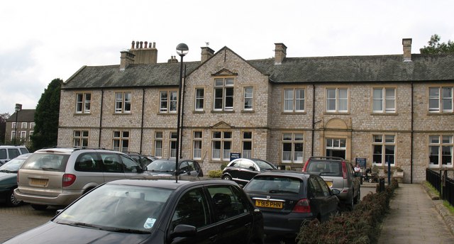
Victoria Hospital, Richmond

The Victoria Hospital was a health facility in Queen's Road, Richmond, North Yorkshire, England. It is now used as a funeral director's offices and remains...

Church of St Mary the Virgin, Richmond

The Church of St Mary the Virgin, Richmond, is the Anglican parish church in the town of Richmond in North Yorkshire, England. Previously, there was another...

Friary Community Hospital

The Friary Community Hospital is a health facility in Queen's Road, Richmond, North Yorkshire, England. It is managed by South Tees Hospitals NHS Foundation...

Richmondshire Museum

The Richmondshire Museum is a museum located in Richmond in North Yorkshire, England.The Museum Trust was founded in 1974 by the Soroptimists of Richmond...

Greyfriars, Richmond

Greyfriars, Richmond was a friary in North Yorkshire, England. Its bell tower still survives and dates from the 15th century. Its establishment as a friary...

Richmond School

Richmond School & Sixth Form College, often referred to simply as Richmond School, is a coeducational secondary school located in North Yorkshire, England...

Georgian Theatre Royal

The Georgian Theatre Royal is a theatre and historic Georgian playhouse in the market town of Richmond, North Yorkshire, England. It is among the oldest...

Nearby Amenities

Located within 500m of 54.408733,-1.7332025
Traffic Signals
Lat/Long: 54.4066062/-1.7336281
Fuel
Gulf
Brand: Gulf
Brand Wikidata: Q5617505
Brand Wikipedia: en:Gulf Oil LP
Operator: Gulf
Wheelchair: yes
Lat/Long: 54.4067737/-1.7304354
Noexit: yes
Lat/Long: 54.4065548/-1.7331024
Crossing
Crossing: uncontrolled
Crossing Ref: zebra
Lat/Long: 54.4051077/-1.7363094
Lidl
Addr City: Richmond
Addr Country: GB
Addr Housenumber: 1
Addr Postcode: DL10 4AJ
Addr Street: Queens Road
Brand: Lidl
Brand Wikidata: Q151954
Brand Wikipedia: en:Lidl
Fhrs Id: 1028266
Shop: supermarket
Toilets: yes
Toilets Wheelchair: yes
Website: https://www.lidl.co.uk/s/en-GB/store-finder/richmond/queens-road/
Wheelchair: yes
Lat/Long: 54.4060474/-1.7383585
Turning Circle
Lat/Long: 54.4055267/-1.7349255
Noexit: yes
Lat/Long: 54.4070127/-1.7360758
Post Box
Brand: Royal Mail
Brand Wikidata: Q638098
Mapillary: 698354711691421
Operator: Royal Mail
Operator Wikidata: Q638098
Post Box Mounting: pier
Post Box Type: lamp
Ref: DL10 8
Source: survey
Survey Date: 2022-09-07
Lat/Long: 54.4078875/-1.7257813
Noexit: yes
Lat/Long: 54.4066627/-1.7273772
Turning Circle
Noexit: yes
Lat/Long: 54.4111319/-1.7338789
Barrier: yes
Foot: yes
Lat/Long: 54.4063208/-1.7332619
Barrier: kissing_gate
Lat/Long: 54.4114548/-1.7339745
Restaurant
La Piazza 2
Addr City: Richmond
Addr Postcode: DL10 7AB
Addr Street: Dundas Street
Cuisine: italian
Wheelchair: yes
Lat/Long: 54.4050525/-1.7354008
Historic: wayside_cross
Lat/Long: 54.4065435/-1.7335591
Access: yes
Barrier: entrance
Lat/Long: 54.4065229/-1.7335659
Access: yes
Barrier: entrance
Lat/Long: 54.4080587/-1.7299725
Barrier: lift_gate
Lat/Long: 54.408074/-1.7301005
Crossing
Lat/Long: 54.4073211/-1.7274396
Pub
The Ship Inn
Addr City: Richmond
Addr Street: Frenchgate
Wikidata: Q26424161
Lat/Long: 54.406356/-1.7338686
Noexit: yes
Lat/Long: 54.4060462/-1.7283894
Noexit: yes
Lat/Long: 54.4065722/-1.7299526
Shop: convenience
Wheelchair: yes
Lat/Long: 54.4066578/-1.7305107
Post Box
Post Box Type: pillar
Ref: DL10 1
Royal Cypher: GR
Royal Cypher Wikidata: Q33102273
Lat/Long: 54.406573/-1.7315913
Fast Food
Dheli-cious
Addr City: Richmond
Addr Street: Cutpurse Lane
Cuisine: indian
Drive Through: no
Phone: +44 1748 824 916
Takeaway: only
Lat/Long: 54.4120303/-1.730501
Post Box
Ref: DL10 114
Lat/Long: 54.411883/-1.7309327
Post Box
Ref: DL10 103
Lat/Long: 54.4098587/-1.7315161
Post Box
Ref: DL10 2
Lat/Long: 54.4086922/-1.7353844
Dentist
Lion House Dental Practice
Addr City: Richmond
Addr Housenumber: 6
Addr Postcode: DL10 4AB
Addr Street: Pottergate
Brand: Riverdale Healthcare
Email: lionhousereception@riverdalehealthcare.com
Healthcare: dentist
Phone: +44 1748 822321
Website: https://riverdalehealthcare.com/lionhouserichmond/
Lat/Long: 54.4063127/-1.7350701
Pottergate Guest House
Addr City: Richmond
Addr Street: Pottergate
Phone: +44 1748 823 826
Tourism: guest_house
Lat/Long: 54.4062777/-1.7352364
Rosedale Guest House
Addr City: Richmond
Addr Street: Pottergate
Tourism: guest_house
Lat/Long: 54.4062144/-1.7355049
Bench
Backrest: yes
Lat/Long: 54.4061458/-1.7356762
Arndale B&B
Addr City: Richmond
Addr Street: Pottergate
Tourism: guest_house
Wheelchair: no
Lat/Long: 54.4064142/-1.7358163
Bus Stop
Bench: no
Bus: yes
Covered: no
Naptan AtcoCode: 3200YNA90292
Naptan NaptanCode: 32090292
Public Transport: platform
Shelter: no
Lat/Long: 54.4056993/-1.7364934
Norman Brown
Addr City: Richmond
Addr Street: Queens Road
Office: estate_agent
Lat/Long: 54.4054213/-1.7362192
Restaurant
Amontola
Addr City: Richmond
Addr Street: Queens Road
Cuisine: indian
Phone: +44 1748 82 60 70
Takeaway: yes
Wheelchair: no
Lat/Long: 54.4049232/-1.7365373
Cafe
Alessandro's Sicilian
Addr City: Richmond
Addr Street: Queens Road
Wheelchair: yes
Lat/Long: 54.4048794/-1.7365617
Childcare
Rooftops Nursery School
Addr City: Richmond
Addr Street: Queens Road
Wheelchair: no
Lat/Long: 54.4048132/-1.7366023
Cafe
The Bread Bowl
Addr City: Richmond
Addr Street: Queens Road
Wheelchair: yes
Lat/Long: 54.404857/-1.7365718
Crossing
Crossing: traffic_signals
Crossing Ref: pelican
Lat/Long: 54.4066174/-1.7334277
Crossing
Crossing: traffic_signals
Crossing Ref: pelican
Lat/Long: 54.4065961/-1.7338362
Noexit: yes
Lat/Long: 54.4065938/-1.7282653
Community Centre
Richmond Methodist Church Hall
Wheelchair: yes
Lat/Long: 54.4049738/-1.7360954
Richmond Information Centre
Information: office
Toilets Wheelchair: yes
Tourism: information
Wheelchair: yes
Lat/Long: 54.4051869/-1.7363127
Richmond Registry Office
Government: register_office
Office: government
Wheelchair: yes
Wheelchair Description: Wheelchair access is through the neighbouring Library.
Lat/Long: 54.4053423/-1.7363381
Turning Circle
Lat/Long: 54.40693/-1.7375625
Restaurant
The Frenchgate Restaurant & Hotel
Addr City: Richmond
Addr Housenumber: 59-61
Addr Postcode: DL10 7AE
Addr Street: Frenchgate
Bar: yes
Capacity: 24
Cuisine: regional
Description: Boutique, independent, Georgian 4 Star Hotel and 2 Rosette Restaurant
Diet Dairy Free: yes
Diet Egg Free: yes
Diet Gluten Free: yes
Diet Lactose Free: yes
Diet Meat: yes
Diet Organic: yes
Diet Pescetarian: yes
Diet Sugar Free: yes
Diet Vegan: yes
Diet Vegetarian: yes
Opening Hours: 24/7
Phone: +44 1748 822087
Website: https://www.thefrenchgate.co.uk/
Lat/Long: 54.4052408/-1.7343622
Barrier: stile
Material: stone
Stile: squeezer
Lat/Long: 54.409528/-1.7374715
Barrier: bollard
Foot: yes
Lat/Long: 54.4100816/-1.7323687
Barrier: bollard
Lat/Long: 54.4100727/-1.7323717
Barrier: bollard
Lat/Long: 54.410091/-1.7323671
The Barn
Guest House: bed_and_breakfast
Tourism: guest_house
Website: https://www.airbnb.co.uk/rooms/31010506
Lat/Long: 54.4060351/-1.7342235
Pub
Blues Night
Addr Housenumber: 85
Addr Street: Frenchgate
Email: bluesnight.org@hotmail.com
Food: no
Opening Hours: Fr,Su 17:00-20:00; Sa 14:00-20:00
Phone: +447465632704
Shop: music
Website: https://www.bluesnight.org/
Lat/Long: 54.4059805/-1.7342162
Man Made: tower
Tower Type: hose
Lat/Long: 54.4082573/-1.7327831
Turning Circle
Lat/Long: 54.4112266/-1.7345859
66 Frenchgate Guesthouse
Internet Access: wlan
Internet Access Fee: no
Tourism: guest_house
Website: https://66frenchgate.com
Lat/Long: 54.4065104/-1.7331509
Waste Basket
Waste: dog_excrement
Lat/Long: 54.4065573/-1.731518
Waste Basket
Lat/Long: 54.4096377/-1.740202
Toilets
Access: yes
Toilets Disposal: flush
Unisex: yes
Lat/Long: 54.4048587/-1.7332322
The data included in this document is from www.openstreetmap.org. The data is made available under ODbL.

Have you been to Boulton Crofts?

Leave your review of Boulton Crofts below (or comments, questions and feedback).