Great Lordings Wood

Wood, Forest in Sussex Horsham

England

Great Lordings Wood

Lordings Lock (upper end and aqueduct) The acqueduct over the River Arun and the upper end of Lordings Lock, with the water-wheel to raise water from the river to the canal level on the left.
Lordings Lock (upper end and aqueduct) Credit: Hugh Craddock

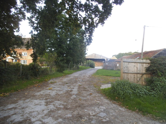
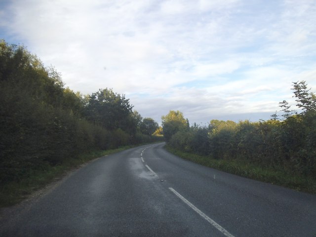
Great Lordings Wood is a picturesque woodland located in Sussex, England. Covering an area of approximately 100 acres, this ancient forest is renowned for its natural beauty and diverse wildlife. The wood is situated on sloping terrain, with a mix of broadleaf trees such as oak, beech, and ash, creating a dense and enchanting canopy.

The forest floor is covered with a rich carpet of bluebells, wild garlic, and ferns, adding to the woodland's charm and providing a perfect habitat for a variety of flora and fauna. The wood is also home to several rare and protected species, including the great crested newt, the silver-washed fritillary butterfly, and the lesser spotted woodpecker.

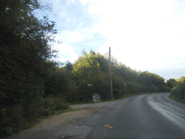
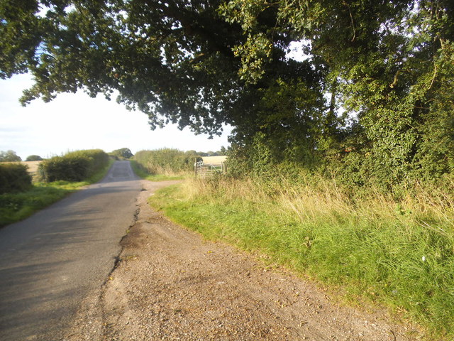
Great Lordings Wood offers a network of well-maintained footpaths and trails, allowing visitors to explore the forest at their own pace. The paths wind through the trees, offering glimpses of hidden glades, babbling brooks, and wildlife-rich ponds. The wood is a popular destination for nature lovers, hikers, and birdwatchers, who can often spot buzzards, woodpeckers, and owls among the treetops.

The management of Great Lordings Wood focuses on preserving the natural habitat and promoting biodiversity. Careful woodland management techniques, such as coppicing and selective thinning, are employed to maintain a healthy ecosystem and ensure the long-term sustainability of the forest.

Overall, Great Lordings Wood is a captivating woodland sanctuary, offering visitors a tranquil and immersive experience in the heart of Sussex's natural beauty.

If you have any feedback on the listing, please let us know in the comments section below.

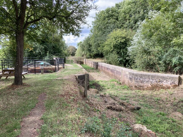
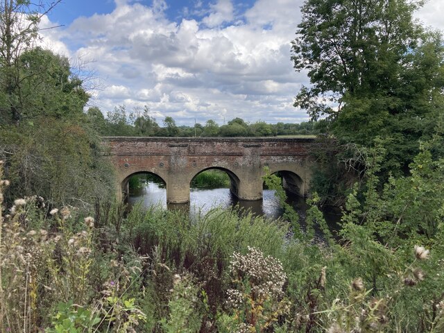
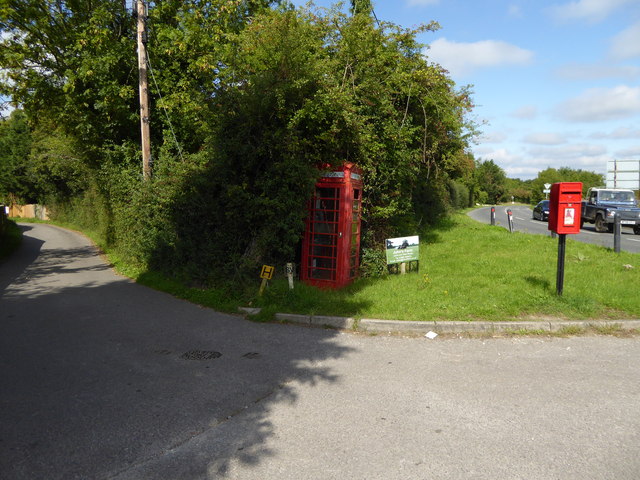
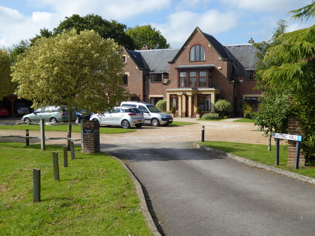
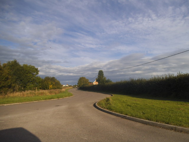
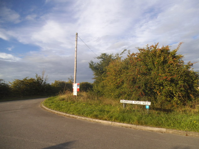
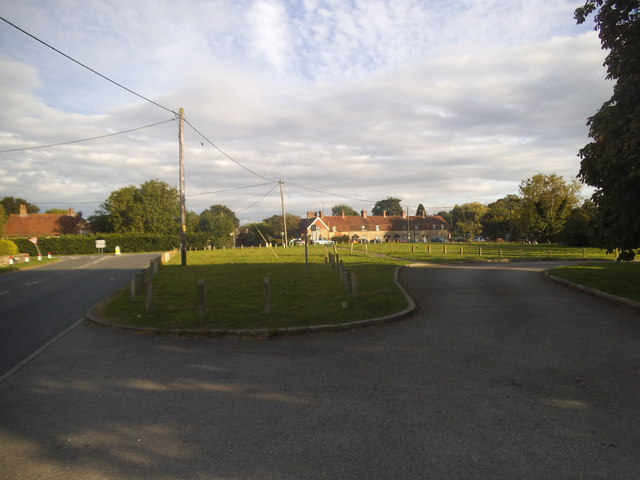
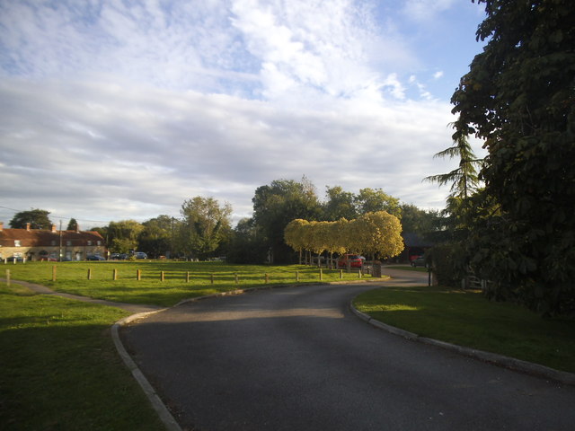
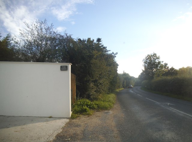
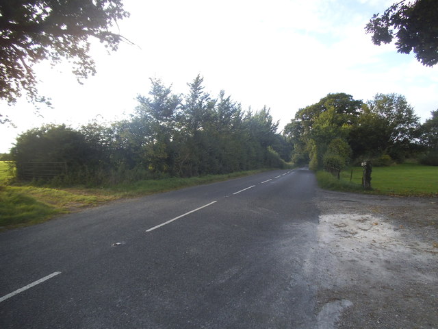
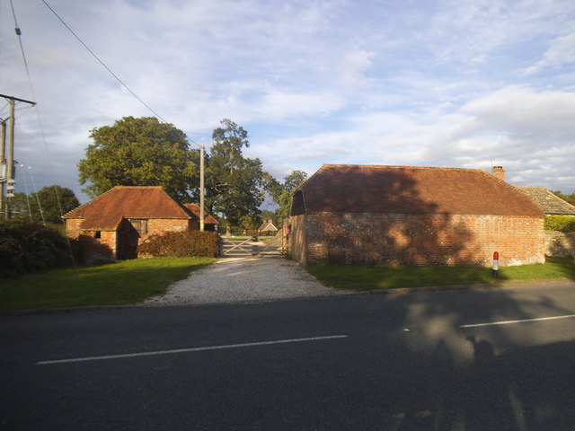
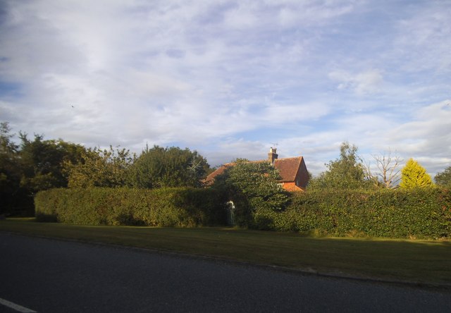
Great Lordings Wood Images

Images are sourced within 2km of 51.010565/-0.4696156 or Grid Reference TQ0724. Thanks to Geograph Open Source API. All images are credited.

Lordings Lock (upper end and aqueduct) The acqueduct over the River Arun and the upper end of Lordings Lock, with the water-wheel to raise water from the river to the canal level on the left.
Lordings Lock (upper end and aqueduct)
The acqueduct over the River Arun and the upper end of Lordings Lock, with the water-wheel to raise water from the river to the canal level on the left.
Newbridge Newbridge, on the A272 — a new bridge, because it was built to join the Shipley and Alfold Bar to Newbridge turnpikes. The bridge crosses the River Avon, with the former bridge (now causeway) over the Wey & Arun Canal shortly to the left.
Newbridge
Newbridge, on the A272 — a new bridge, because it was built to join the Shipley and Alfold Bar to Newbridge turnpikes. The bridge crosses the River Avon, with the former bridge (now causeway) over the Wey & Arun Canal shortly to the left.
Telephone kiosk in Adversane Another view of the telephone box is at the first geograph for this grid square - see <a title="https://www.geograph.org.uk/photo/187183" href="https://www.geograph.org.uk/photo/187183">Link</a>.
Telephone kiosk in Adversane
Another view of the telephone box is at the first geograph for this grid square - see Link.
Newstead Hall
Newstead Hall
Newbridge Road, Billingshurst
Newbridge Road West at the junction of the A272 Newbridge Road was cut in half by the Billingshurst bypass.
Newbridge Road West at the junction of the A272
Newbridge Road was cut in half by the Billingshurst bypass.
Green on Lordings Road, Adversane
The green, Adversane
Roundabout on the Billingshurst Bypass, Parbrook
Lordings Farm, Adversane
Lordings Road, Adversane
Rowner Road, Billingshurst
Lordings Road, Billingshurst
Lordings Road, Adversane The wall and fence has recently replaced a hedge
Lordings Road, Adversane
The wall and fence has recently replaced a hedge
Lordings Road, Adversane By the entrance to Lordings Farm
Lordings Road, Adversane
By the entrance to Lordings Farm
Southlands Farm, Adversane
Lordings Road, Adversane
Show me another place!

Great Lordings Wood is located at Grid Ref: TQ0724 (Lat: 51.010565, Lng: -0.4696156)

Administrative County: West Sussex

District: Horsham

Police Authority: Sussex

What 3 Words

///buggy.taller.talker. Near Billingshurst, West Sussex

Related Wikis

A29 road

The A29 is a main road in England in Surrey and chiefly in West Sussex that runs for 34.4 miles (55.4 km). == Route == The road starts at the Beare Green...

The Weald School

The Weald School is a coeducational secondary school and sixth form. It caters for around 1,700 pupils in years 7 to 13, including over 300 in its sixth...

Adversane

Adversane is a large hamlet in the Horsham District of West Sussex, England, located 1.5 miles south of Billingshurst (where, at the 2011 Census, the population...

Billingshurst railway station

Billingshurst Railway Station serves the market town of Billingshurst, in West Sussex, England. It is on the Arun Valley Line 44 miles 71 chains (72.2...

Billingshurst Unitarian Chapel

Billingshurst Unitarian Chapel is a place of worship in Billingshurst in the English county of West Sussex. The cottage-like building was erected in 1754...

River Kird

The River Kird is a river located in the Chichester District of West Sussex, England that is a tributary to the River Arun. It is located in South Downs...

Billingshurst

Billingshurst is a village and civil parish in the Horsham District of West Sussex, England. The village lies on the A29 road (the Roman Stane Street)...

Billingshurst F.C.

Billingshurst Football Club is a football club based in Billingshurst, West Sussex, England. They are currently members of the Southern Combination Division...

Nearby Amenities

Located within 500m of 51.010565,-0.4696156
Barrier: stile
Lat/Long: 51.0145121/-0.4724513
Barrier: stile
Lat/Long: 51.0145693/-0.4694273
Little Brockhurst
Naptan AtcoCode: 4400HR0949
Naptan Bearing: SW
Naptan BusStopType: CUS
Naptan CommonName: Little Brockhurst
Naptan Indicator: adj
Naptan Landmark: Hail & Ride
Naptan NaptanCode: wsxgajwd
Naptan Street: Lordings Road
Naptan Verified: no
Source: naptan_import
Lat/Long: 51.0108185/-0.4744051
Little Brockhurst
Naptan AtcoCode: 4400HR0950
Naptan Bearing: NE
Naptan BusStopType: CUS
Naptan CommonName: Little Brockhurst
Naptan Indicator: opp
Naptan Landmark: Hail & Ride
Naptan NaptanCode: wsxgajwg
Naptan Street: Lordings Road
Naptan Verified: no
Source: naptan_import
Lat/Long: 51.0108911/-0.4744597
Barrier: stile
Lat/Long: 51.0125251/-0.4729535
St Andrew's Farm
Place: isolated_dwelling
Lat/Long: 51.0076556/-0.4646772
Communication Mobile Phone: yes
Man Made: mast
Tower Type: communication
Lat/Long: 51.0117581/-0.4649793
Lordings Farm
Place: farm
Lat/Long: 51.0072886/-0.4736374
The Oaks
Place: isolated_dwelling
Lat/Long: 51.01103/-0.4733996
The data included in this document is from www.openstreetmap.org. The data is made available under ODbL.

Have you been to Great Lordings Wood?

Leave your review of Great Lordings Wood below (or comments, questions and feedback).