Little Lordings Wood

Wood, Forest in Sussex Horsham

England

Little Lordings Wood

Lordings Lock (upper end and aqueduct) The acqueduct over the River Arun and the upper end of Lordings Lock, with the water-wheel to raise water from the river to the canal level on the left.
Lordings Lock (upper end and aqueduct) Credit: Hugh Craddock

Little Lordings Wood is a picturesque woodland located in the county of Sussex, England. Covering an area of approximately 50 acres, it is situated near the village of Lordings, surrounded by rolling countryside and scenic landscapes.

The wood is primarily composed of deciduous trees, with a diverse array of species such as oak, ash, beech, and birch. These majestic trees create a dense, leafy canopy that provides a haven for numerous wildlife species. The woodland floor is adorned with a rich carpet of wildflowers, including bluebells, primroses, and wood anemones, creating a vibrant and colorful display during the springtime.

Little Lordings Wood is renowned for its tranquil atmosphere, offering visitors a peaceful retreat away from the hustle and bustle of city life. It is a popular destination for nature enthusiasts, hikers, and birdwatchers, who can enjoy the abundance of wildlife that thrives within its boundaries. Common sightings include squirrels, foxes, badgers, and a variety of bird species, including woodpeckers, owls, and songbirds.

The wood is also home to a network of walking trails, allowing visitors to explore its beauty at their own pace. These well-maintained paths wind through the woodland, providing opportunities for leisurely strolls and more challenging hikes. Additionally, there are designated picnic areas where visitors can relax and immerse themselves in the tranquility of the surroundings.

Little Lordings Wood is a cherished natural gem in Sussex, offering visitors a captivating glimpse into the beauty of the English countryside and providing a sanctuary for both humans and wildlife alike.

If you have any feedback on the listing, please let us know in the comments section below.

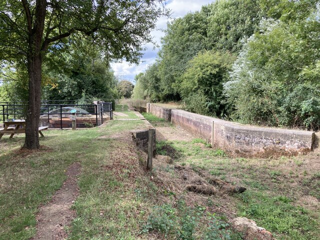
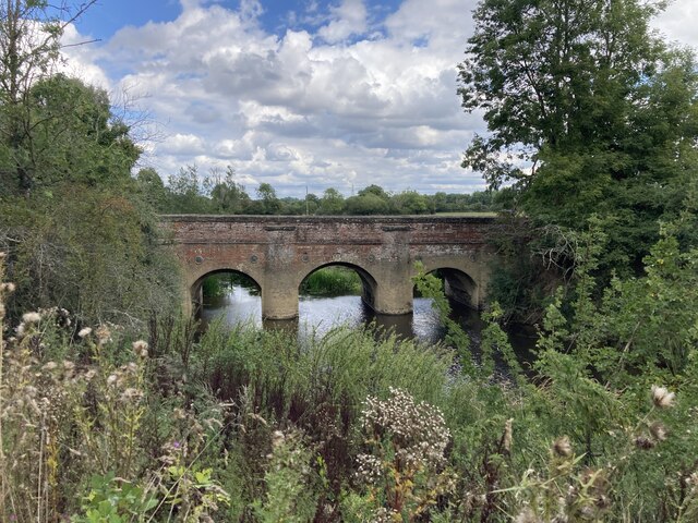
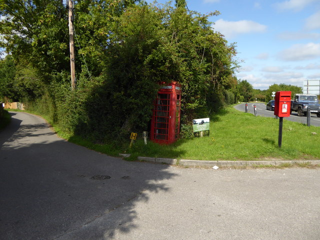
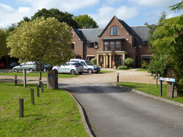
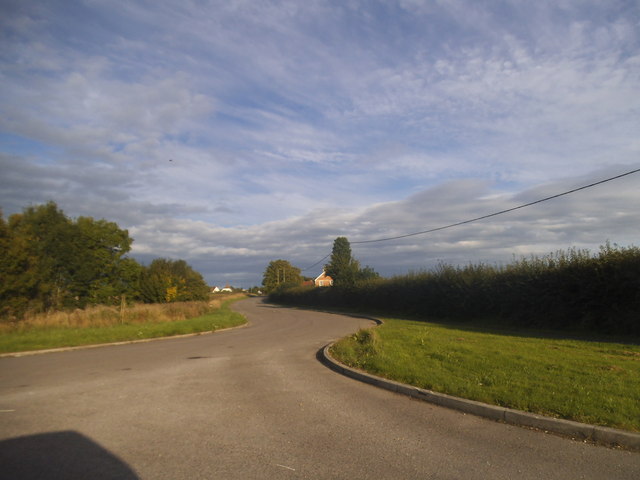
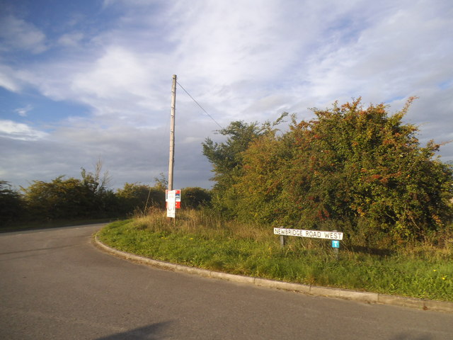
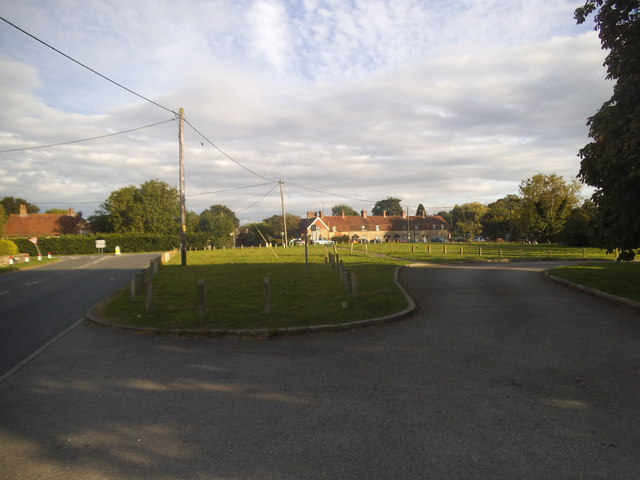
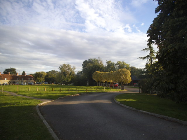
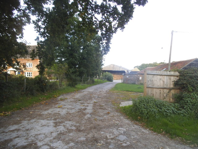
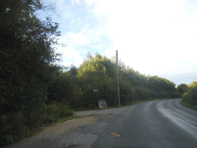
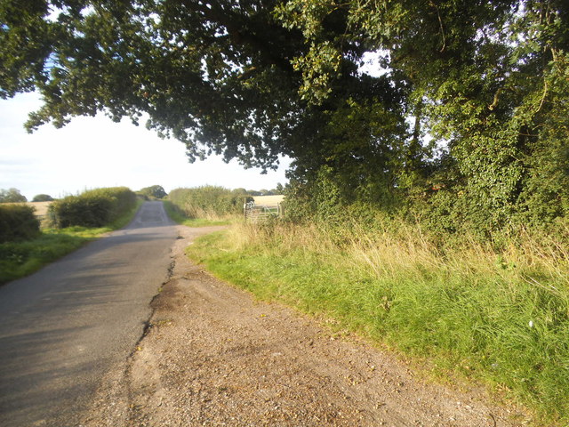
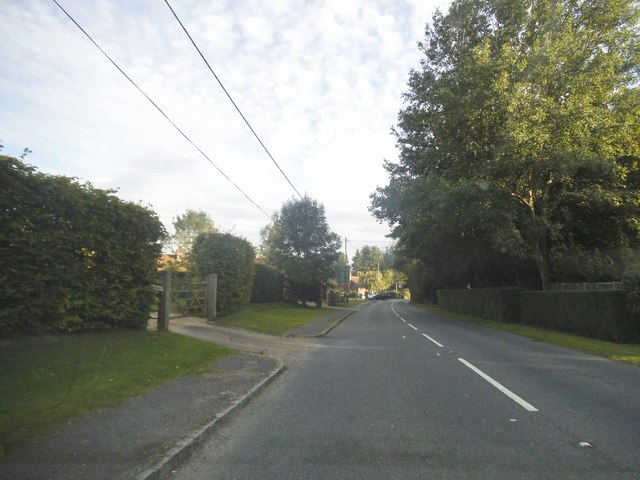
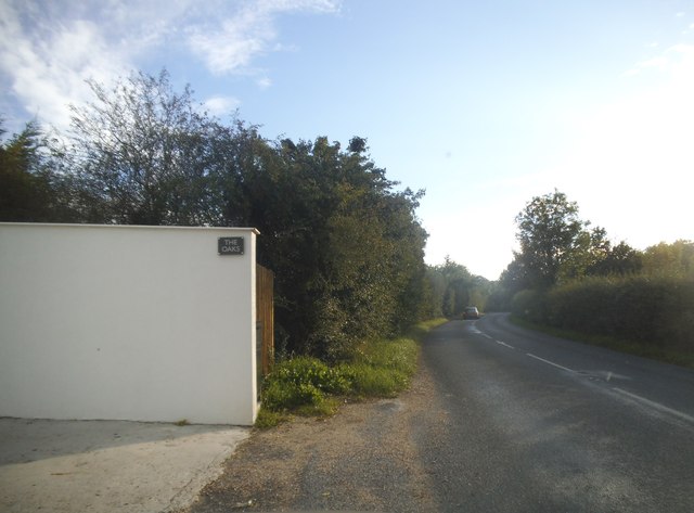
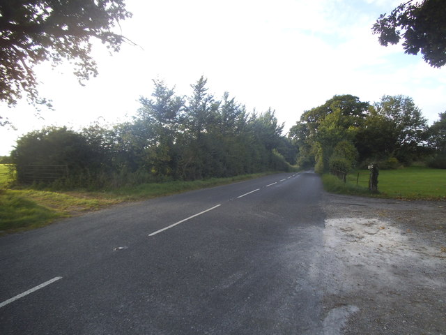
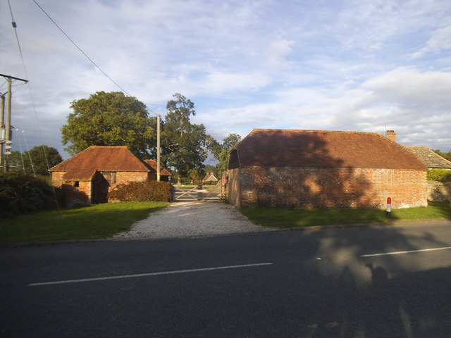
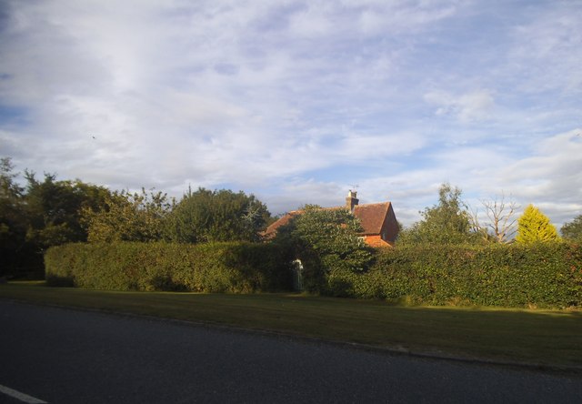
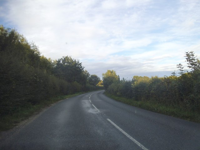
Little Lordings Wood Images

Images are sourced within 2km of 51.006924/-0.4703626 or Grid Reference TQ0724. Thanks to Geograph Open Source API. All images are credited.

Lordings Lock (upper end and aqueduct) The acqueduct over the River Arun and the upper end of Lordings Lock, with the water-wheel to raise water from the river to the canal level on the left.
Lordings Lock (upper end and aqueduct)
The acqueduct over the River Arun and the upper end of Lordings Lock, with the water-wheel to raise water from the river to the canal level on the left.
Newbridge Newbridge, on the A272 — a new bridge, because it was built to join the Shipley and Alfold Bar to Newbridge turnpikes. The bridge crosses the River Avon, with the former bridge (now causeway) over the Wey & Arun Canal shortly to the left.
Newbridge
Newbridge, on the A272 — a new bridge, because it was built to join the Shipley and Alfold Bar to Newbridge turnpikes. The bridge crosses the River Avon, with the former bridge (now causeway) over the Wey & Arun Canal shortly to the left.
Telephone kiosk in Adversane Another view of the telephone box is at the first geograph for this grid square - see <a title="https://www.geograph.org.uk/photo/187183" href="https://www.geograph.org.uk/photo/187183">Link</a>.
Telephone kiosk in Adversane
Another view of the telephone box is at the first geograph for this grid square - see Link.
Newstead Hall
Newstead Hall
Newbridge Road, Billingshurst
Newbridge Road West at the junction of the A272 Newbridge Road was cut in half by the Billingshurst bypass.
Newbridge Road West at the junction of the A272
Newbridge Road was cut in half by the Billingshurst bypass.
Green on Lordings Road, Adversane
The green, Adversane
Roundabout on the Billingshurst Bypass, Parbrook
Lordings Farm, Adversane
Lordings Road, Adversane
Rowner Road, Billingshurst
Lordings Road, Billingshurst
Lordings Road, Adversane The wall and fence has recently replaced a hedge
Lordings Road, Adversane
The wall and fence has recently replaced a hedge
Lordings Road, Adversane By the entrance to Lordings Farm
Lordings Road, Adversane
By the entrance to Lordings Farm
Southlands Farm, Adversane
Lordings Road, Adversane
Show me another place!

Little Lordings Wood is located at Grid Ref: TQ0724 (Lat: 51.006924, Lng: -0.4703626)

Administrative County: West Sussex

District: Horsham

Police Authority: Sussex

What 3 Words

///transcribes.promotes.terribly. Near Billingshurst, West Sussex

Related Wikis

A29 road

The A29 is a main road in England in Surrey and chiefly in West Sussex that runs for 34.4 miles (55.4 km). == Route == The road starts at the Beare Green...

Adversane

Adversane is a large hamlet in the Horsham District of West Sussex, England, located 1.5 miles south of Billingshurst (where, at the 2011 Census, the population...

The Weald School

The Weald School is a coeducational secondary school and sixth form. It caters for around 1,700 pupils in years 7 to 13, including over 300 in its sixth...

Billingshurst railway station

Billingshurst Railway Station serves the market town of Billingshurst, in West Sussex, England. It is on the Arun Valley Line 44 miles 71 chains (72.2...

River Kird

The River Kird is a river located in the Chichester District of West Sussex, England that is a tributary to the River Arun. It is located in South Downs...

Billingshurst Unitarian Chapel

Billingshurst Unitarian Chapel is a place of worship in Billingshurst in the English county of West Sussex. The cottage-like building was erected in 1754...

Billingshurst

Billingshurst is a village and civil parish in the Horsham District of West Sussex, England. The village lies on the A29 road (the Roman Stane Street)...

Billingshurst F.C.

Billingshurst Football Club is a football club based in Billingshurst, West Sussex, England. They are currently members of the Southern Combination Division...

Nearby Amenities

Located within 500m of 51.006924,-0.4703626
Hadfold Farm
Naptan AtcoCode: 4400HR0675
Naptan Bearing: NE
Naptan BusStopType: CUS
Naptan CommonName: Hadfold Farm
Naptan Indicator: Opp
Naptan Landmark: Hail & Ride
Naptan NaptanCode: wsxdwamg
Naptan Street: A29
Naptan Verified: no
Source: naptan_import
Lat/Long: 51.0035074/-0.4666021
Hadfold Farm
Naptan AtcoCode: 4400HR0676
Naptan Bearing: SW
Naptan BusStopType: CUS
Naptan CommonName: Hadfold Farm
Naptan Indicator: adj
Naptan Landmark: Hail & Ride
Naptan NaptanCode: wsxdwamj
Naptan Street: A29
Naptan Verified: no
Source: naptan_import
Lat/Long: 51.0035116/-0.4665062
Lordings Farm
Naptan AtcoCode: 4400HR0951
Naptan Bearing: SE
Naptan BusStopType: CUS
Naptan CommonName: Lordings Farm
Naptan Indicator: adj
Naptan Landmark: Hail & Ride
Naptan NaptanCode: wsxgajwj
Naptan Street: Lordings Road
Naptan Verified: no
Source: naptan_import
Lat/Long: 51.0075364/-0.4751257
Lordings Farm
Naptan AtcoCode: 4400HR0952
Naptan Bearing: NW
Naptan BusStopType: CUS
Naptan CommonName: Lordings Farm
Naptan Indicator: opp
Naptan Landmark: Hail & Ride
Naptan NaptanCode: wsxgajwm
Naptan Street: Lordings Road
Naptan Verified: no
Source: naptan_import
Lat/Long: 51.0075019/-0.4752409
Lordings Road
Naptan AtcoCode: 4400HR0953
Naptan Bearing: S
Naptan BusStopType: CUS
Naptan CommonName: Lordings Road
Naptan Indicator: HAR
Naptan Landmark: Hail & Ride
Naptan NaptanCode: wsxgajwp
Naptan Street: Lordings Road
Naptan Verified: no
Source: naptan_import
Lat/Long: 51.0028112/-0.4727721
Lordings Road
Naptan AtcoCode: 4400HR0954
Naptan Bearing: N
Naptan BusStopType: CUS
Naptan CommonName: Lordings Road
Naptan Indicator: HAR
Naptan Landmark: Hail & Ride
Naptan NaptanCode: wsxgajwt
Naptan Street: Lordings Road
Naptan Verified: no
Source: naptan_import
Lat/Long: 51.0028305/-0.4728713
Six Acre Farm
Place: farm
Lat/Long: 51.0042357/-0.4652931
St Andrew's Farm
Place: isolated_dwelling
Lat/Long: 51.0076556/-0.4646772
Lordings Farm
Place: farm
Lat/Long: 51.0072886/-0.4736374
The data included in this document is from www.openstreetmap.org. The data is made available under ODbL.

Have you been to Little Lordings Wood?

Leave your review of Little Lordings Wood below (or comments, questions and feedback).