Almshouse Common
Settlement in Surrey Waverley
England
Almshouse Common
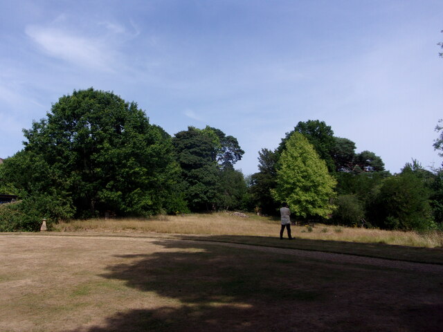
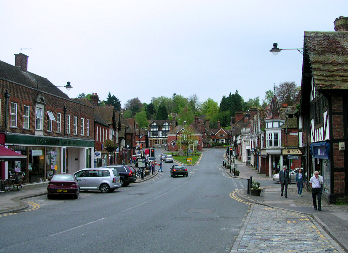
Almshouse Common is a picturesque area located in Surrey, England. Situated between the towns of Guildford and Farnham, it is a place of natural beauty and historical significance. Covering an area of approximately 100 acres, Almshouse Common boasts a diverse landscape of rolling hills, meadows, woodlands, and a small lake.
The common is home to a variety of wildlife, including deer, rabbits, and numerous species of birds, making it a popular spot for nature enthusiasts and birdwatchers. The surrounding woodlands are particularly stunning in the autumn months when the leaves turn vibrant shades of red, orange, and yellow.
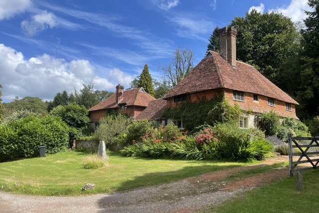
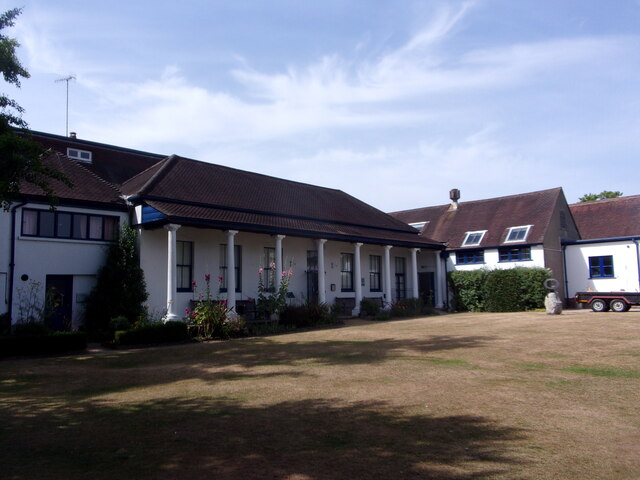
One of the main attractions of Almshouse Common is the historic almshouses that give the area its name. These well-preserved buildings date back to the 17th century and were originally constructed to provide housing for the poor and elderly. Today, they serve as a reminder of the area's rich history and are a testament to the community's charitable spirit.
Visitors to Almshouse Common can explore the numerous walking trails that crisscross the area, offering stunning views of the surrounding countryside. There are also designated picnic areas and benches where visitors can relax and enjoy the peaceful atmosphere. The common is easily accessible by car and has ample parking facilities.
Overall, Almshouse Common is a hidden gem in Surrey, offering a tranquil escape from the hustle and bustle of everyday life. Whether you are a nature lover, history enthusiast, or simply seeking a peaceful retreat, this beautiful area has something to offer everyone.
If you have any feedback on the listing, please let us know in the comments section below.
Almshouse Common Images
Images are sourced within 2km of 51.086094/-0.68770733 or Grid Reference SU9232. Thanks to Geograph Open Source API. All images are credited.


Almshouse Common is located at Grid Ref: SU9232 (Lat: 51.086094, Lng: -0.68770733)
Administrative County: Surrey
District: Waverley
Police Authority: Surrey
What 3 Words
///mainly.rehearsed.belong. Near Haslemere, Surrey
Nearby Locations
Related Wikis

Haste Hill
Haste Hill is a hill near Haslemere, Surrey in England which was probably the original settlement of the town of Haslemere. It was used as the site of...

Haslemere Town Hall
Haslemere Town Hall is a municipal building in the High Street, Haslemere, Surrey, England. The structure, which serves as the meeting place of Haslemere...
The Curry Club
The Curry Club was founded by Pat Chapman in 1982, to further the understanding and appreciation of the cuisines of the Indian subcontinent. In 2007 it...

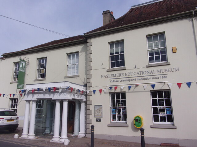
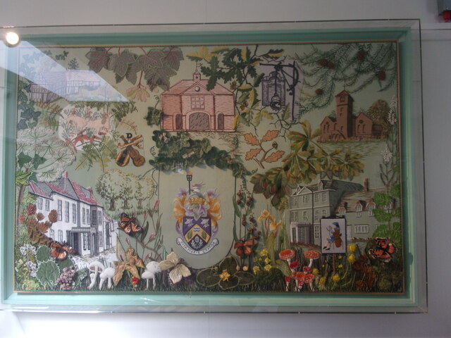
Haslemere Educational Museum
Haslemere Educational Museum was founded in 1888 by the eminent surgeon Sir Jonathan Hutchinson to display his growing collection of natural history specimens...
Haslemere
The town of Haslemere () and the villages of Shottermill and Grayswood are in south west Surrey, England, around 38 mi (62 km) south west of London. Together...

Serpent Trail
The Serpent Trail is a 64-mile (103 km) long distance footpath. It runs from Haslemere to Petersfield, which are 11 miles apart in a straight line, by...

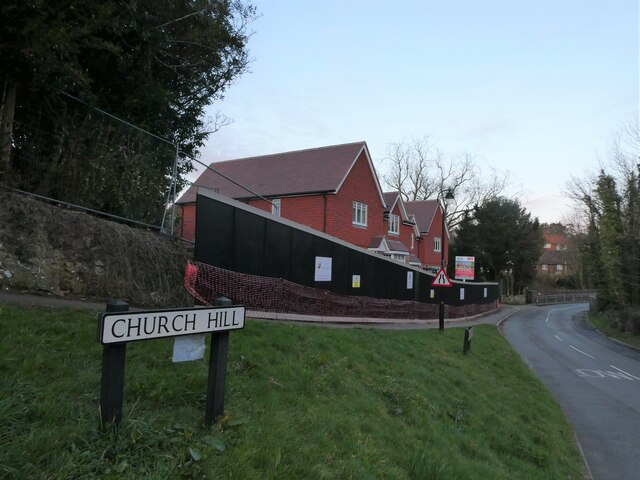
Church Hill House, Haslemere
Church Hill House is a grade II* listed house in Tanners Lane, Haslemere, Surrey. Parts of the walls are grade II listed as well as the adjoining Church...

All Saints' Church, Grayswood
All Saints' Church is an active parish church in the village of Grayswood, Surrey, England. The church stands in the centre of the village and was built...
Nearby Amenities
Located within 500m of 51.086094,-0.68770733Have you been to Almshouse Common?
Leave your review of Almshouse Common below (or comments, questions and feedback).