Almshouse Green
Settlement in Suffolk Babergh
England
Almshouse Green
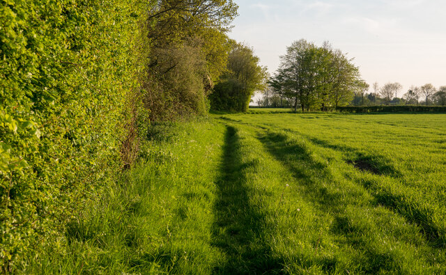
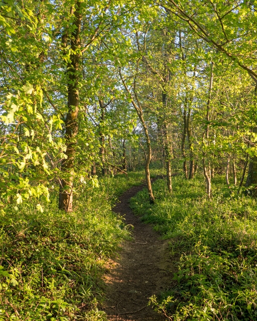
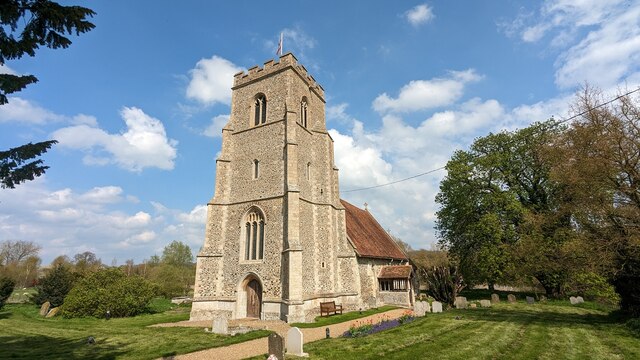
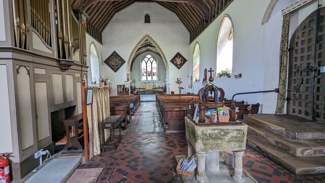
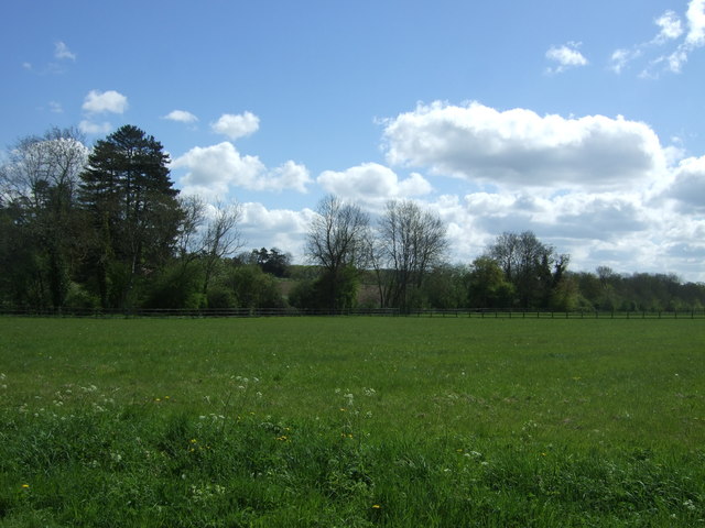
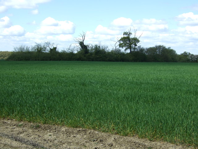
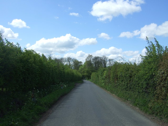
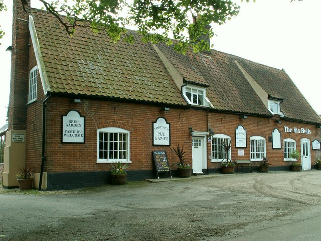
Almshouse Green is a quaint and picturesque village located in the county of Suffolk, England. Situated in the heart of the Suffolk countryside, it is surrounded by rolling green hills, lush meadows, and scenic farmlands. The village is known for its historic almshouses, which were built in the 18th century to provide housing for the poor and elderly.
The almshouses of Almshouse Green are a true architectural gem, with their charming red brick facades, traditional thatched roofs, and beautifully landscaped gardens. These buildings have been carefully preserved and serve as a testament to the village's rich history and heritage.
The village itself exudes a peaceful and idyllic ambiance, with its narrow winding streets, lined with quaint cottages and charming shops. The village green, surrounded by ancient oak trees, is a popular gathering place for locals and visitors alike. It provides a tranquil spot to relax, have a picnic, or simply enjoy the beauty of the surroundings.
Almshouse Green is also known for its vibrant community spirit. The villagers take great pride in maintaining the village's traditional character and organize various events throughout the year, such as fairs, festivals, and community gatherings. These events not only bring the locals together but also attract visitors from far and wide.
For those seeking a peaceful retreat in the Suffolk countryside, Almshouse Green offers a perfect escape. With its rich history, picturesque setting, and warm community atmosphere, it is a place that truly captures the essence of rural England.
If you have any feedback on the listing, please let us know in the comments section below.
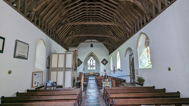
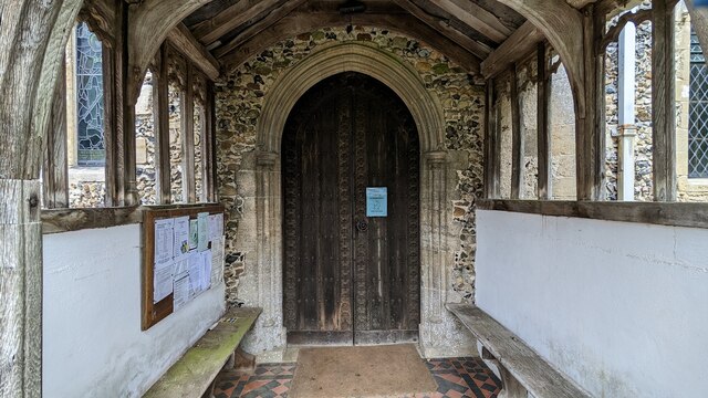
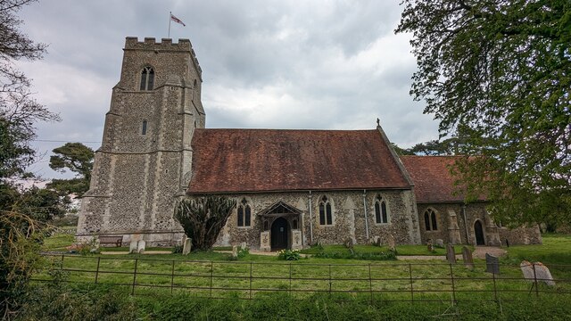
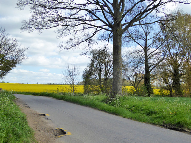
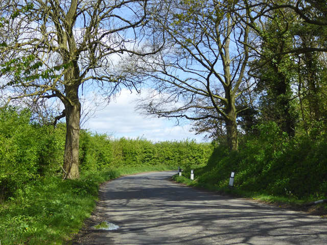
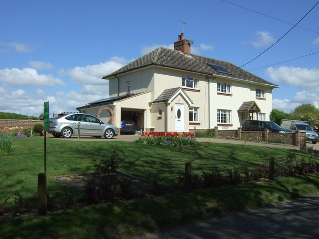
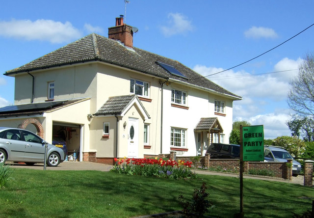
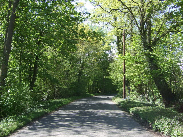
Almshouse Green Images
Images are sourced within 2km of 52.14618/0.83108465 or Grid Reference TL9353. Thanks to Geograph Open Source API. All images are credited.
Almshouse Green is located at Grid Ref: TL9353 (Lat: 52.14618, Lng: 0.83108465)
Administrative County: Suffolk
District: Babergh
Police Authority: Suffolk
What 3 Words
///green.points.stolen. Near Lavenham, Suffolk
Nearby Locations
Related Wikis

Thorpe Morieux
Thorpe Morieux ( Mə-ROO) is a small village and civil parish in Suffolk, England. It is 10 miles south-east of Bury St Edmunds and 10 miles north east...

Thorpe Morieux Woods
Thorpe Morieux Woods is a 45.2-hectare (112-acre) biological Site of Special Scientific Interest north of Thorpe Morieux in Suffolk. Part of it is Bull...
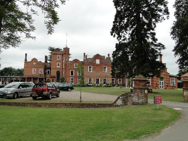
Old Buckenham Hall School
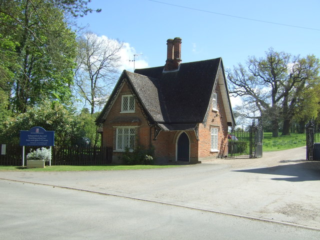
Old Buckenham Hall School (commonly known as OBH) is a day and boarding preparatory school with pre-prep for boys and girls in the village of Brettenham...

Bull's Wood
Bull's Wood is a 12 hectare nature reserve east of Cockfield in Suffolk, England. It is managed by the Suffolk Wildlife Trust, and is part of the Thorpe...

Rooksey Green
Rooksey Green is a hamlet in the parish of Preston St Mary, in the Babergh District in the English county of Suffolk. == Other nearby settlements == Other...
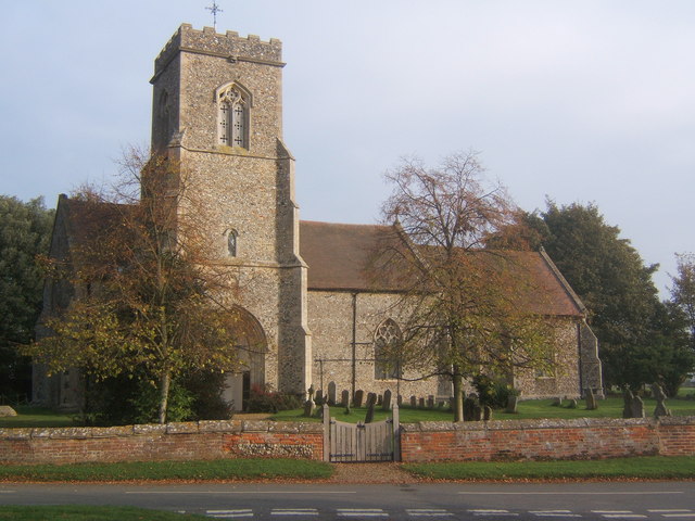
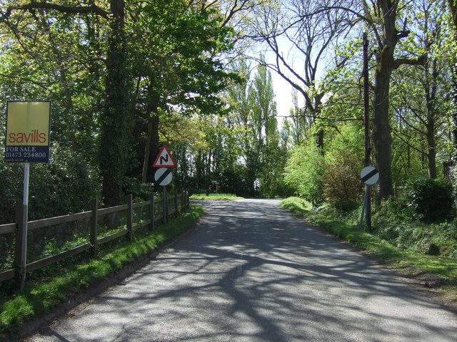
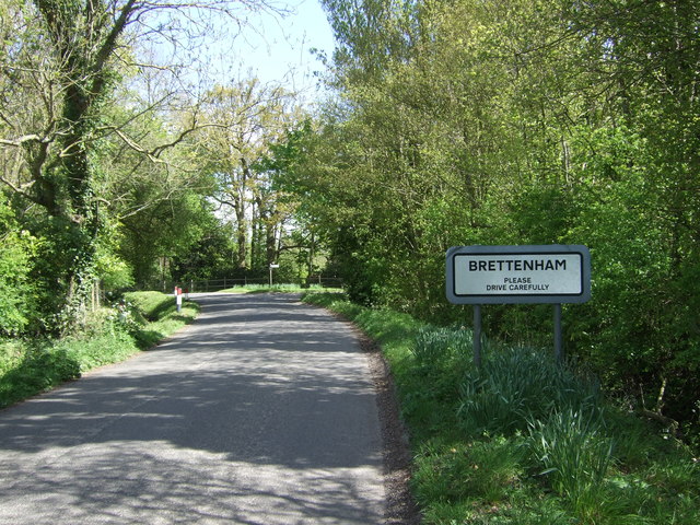
Brettenham, Suffolk
Brettenham is a village and civil parish in the Babergh district of Suffolk, England. In 2005 it had a population of 270, increasing to 353 at the 2011...
Preston St Mary
Preston St Mary is a village and civil parish in Suffolk, England. Located to the north-east of Lavenham, it is part of the Babergh district. The parish...

Centre Academy East Anglia
Centre Academy East Anglia, formerly known as The Old Rectory School is a private special school in Brettenham, Suffolk, England, founded in 1981. The...
Nearby Amenities
Located within 500m of 52.14618,0.83108465Have you been to Almshouse Green?
Leave your review of Almshouse Green below (or comments, questions and feedback).