Thorpe Morieux
Civil Parish in Suffolk Babergh
England
Thorpe Morieux
Thorpe Morieux is a civil parish located in the county of Suffolk, England. It is situated approximately 10 miles southeast of the town of Bury St Edmunds and covers an area of around 1,074 acres. The parish is home to a small population of approximately 150 residents.
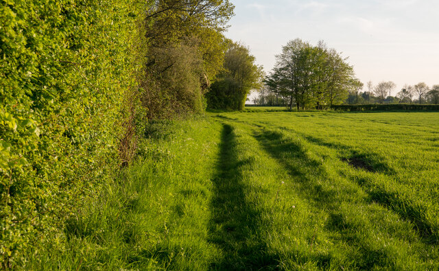
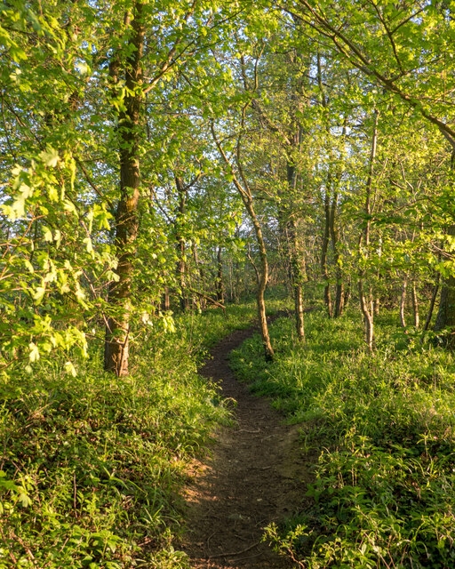
The landscape of Thorpe Morieux is characterized by agricultural fields, open countryside, and a few scattered woodlands. The area is known for its picturesque beauty, with rolling hills and charming rural views. The parish is surrounded by several other villages and hamlets, such as Hawstead, Whepstead, and Somerton.
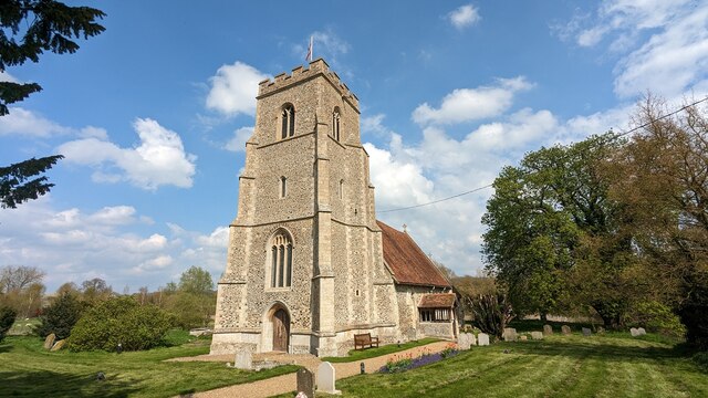
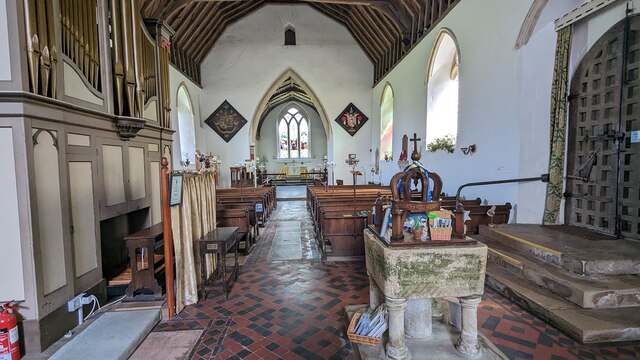
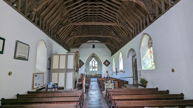
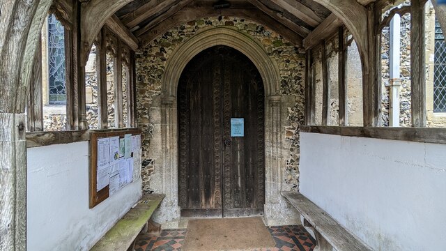
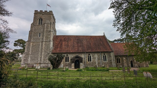
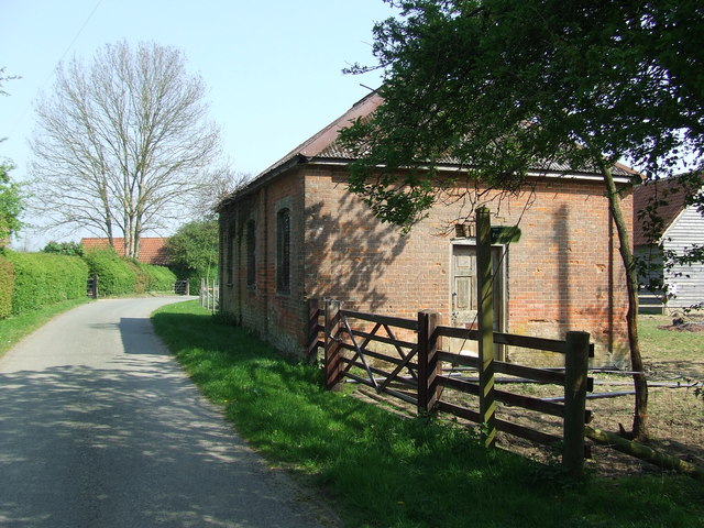
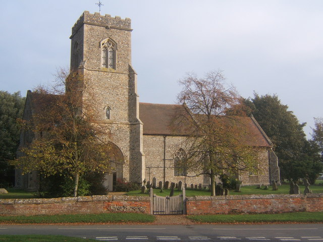
The village itself consists of a small cluster of houses, a historic church, and a village hall. The church, dedicated to St. Mary, dates back to the 14th century and is a Grade I listed building. It features a beautiful tower, stained glass windows, and intricate architectural details.
Thorpe Morieux offers a peaceful and tranquil atmosphere, making it an ideal place for those seeking a rural retreat. The surrounding countryside provides ample opportunities for outdoor activities such as walking, cycling, and horse riding. The village is well-connected to neighboring towns and cities by road, with the A134 passing close by.
Overall, Thorpe Morieux is a charming and idyllic Suffolk village, offering a close-knit community and a picturesque setting for residents and visitors alike.
If you have any feedback on the listing, please let us know in the comments section below.
Thorpe Morieux Images
Images are sourced within 2km of 52.146572/0.829474 or Grid Reference TL9353. Thanks to Geograph Open Source API. All images are credited.


Thorpe Morieux is located at Grid Ref: TL9353 (Lat: 52.146572, Lng: 0.829474)
Administrative County: Suffolk
District: Babergh
Police Authority: Suffolk
What 3 Words
///meanings.remaking.abstracts. Near Lavenham, Suffolk
Nearby Locations
Related Wikis

Thorpe Morieux
Thorpe Morieux ( Mə-ROO) is a small village and civil parish in Suffolk, England. It is 10 miles south-east of Bury St Edmunds and 10 miles north east...

Thorpe Morieux Woods
Thorpe Morieux Woods is a 45.2-hectare (112-acre) biological Site of Special Scientific Interest north of Thorpe Morieux in Suffolk. Part of it is Bull...
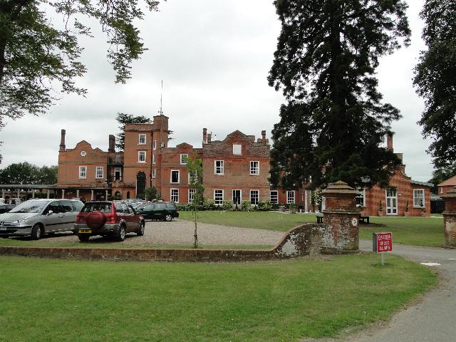
Old Buckenham Hall School
Old Buckenham Hall School (commonly known as OBH) is a day and boarding preparatory school with pre-prep for boys and girls in the village of Brettenham...

Bull's Wood
Bull's Wood is a 12 hectare nature reserve east of Cockfield in Suffolk, England. It is managed by the Suffolk Wildlife Trust, and is part of the Thorpe...

Rooksey Green
Rooksey Green is a hamlet in the parish of Preston St Mary, in the Babergh District in the English county of Suffolk. == Other nearby settlements == Other...
Brettenham, Suffolk
Brettenham is a village and civil parish in the Babergh district of Suffolk, England. In 2005 it had a population of 270, increasing to 353 at the 2011...
Preston St Mary
Preston St Mary is a village and civil parish in Suffolk, England. Located to the north-east of Lavenham, it is part of the Babergh district. The parish...

Centre Academy East Anglia
Centre Academy East Anglia, formerly known as The Old Rectory School is a private special school in Brettenham, Suffolk, England, founded in 1981. The...
Nearby Amenities
Located within 500m of 52.146572,0.829474Have you been to Thorpe Morieux?
Leave your review of Thorpe Morieux below (or comments, questions and feedback).