Lythe Hill

Hill, Mountain in Surrey Waverley

England

Lythe Hill

Valewood Farmhouse The farmhouse is a Grade II* (star) listed building. See <span class="nowrap"><a title="https://historicengland.org.uk/listing/the-list/list-entry/1354733" rel="nofollow ugc noopener" href="https://historicengland.org.uk/listing/the-list/list-entry/1354733">Link</a><img style="margin-left:2px;" alt="External link" title="External link - shift click to open in new window" src="https://s1.geograph.org.uk/img/external.png" width="10" height="10"/></span>
Valewood Farmhouse Credit: Chris Thomas-Atkin

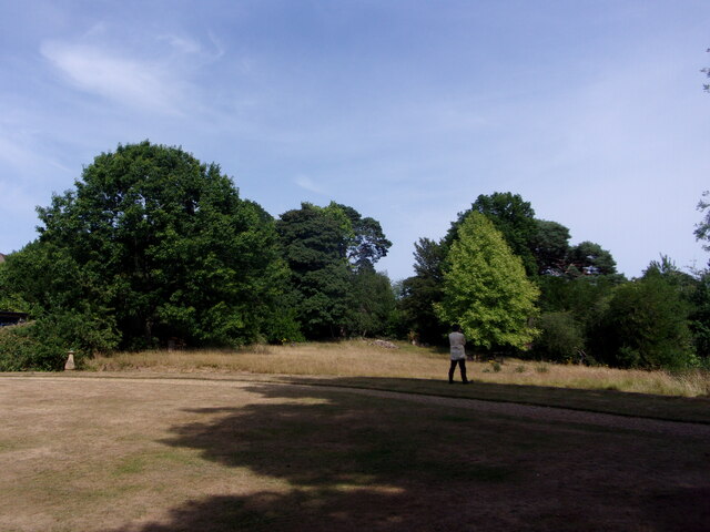
Lythe Hill is a picturesque hill located in the county of Surrey in southeast England. Standing at an elevation of approximately 215 meters (705 feet), it is considered one of the prominent hills in the area. Offering breathtaking views of the surrounding countryside, Lythe Hill attracts nature enthusiasts, hikers, and photographers alike.

Covered in lush greenery, the hill is home to a diverse range of flora and fauna, with numerous walking trails that allow visitors to explore its natural beauty. The trails wind through woodlands, meadows, and open fields, providing opportunities to encounter various wildlife species, including deer, rabbits, and a variety of bird species.

One of the notable features of Lythe Hill is its historical significance. It is believed that the hill was once an ancient settlement, with archaeological evidence suggesting human activity dating back thousands of years. The area is also dotted with remnants of ancient structures, such as burial mounds and earthworks, further adding to its historical appeal.

Aside from its natural and historical charm, Lythe Hill is also known for its recreational facilities. The hill features well-maintained picnic areas, allowing visitors to relax and enjoy a meal amidst the tranquil surroundings. Additionally, there are designated camping spots for those seeking an overnight adventure.

Overall, Lythe Hill in Surrey provides a perfect escape from the hustle and bustle of everyday life, offering a unique combination of natural beauty, historical intrigue, and recreational opportunities for visitors of all ages.

If you have any feedback on the listing, please let us know in the comments section below.
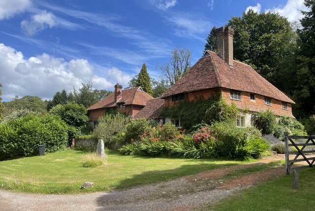
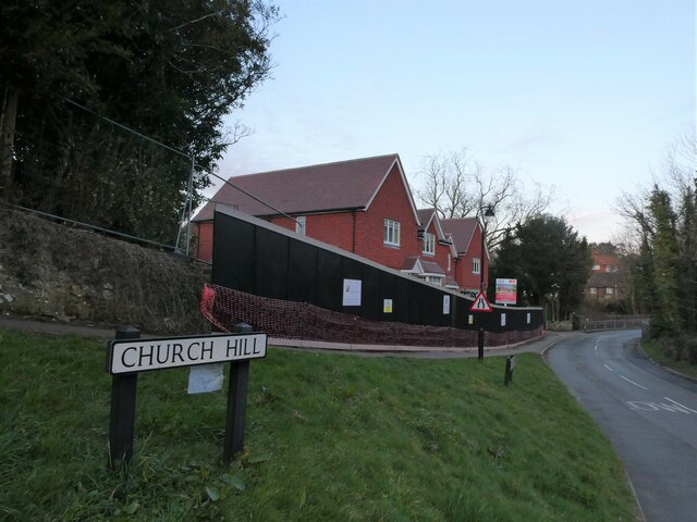
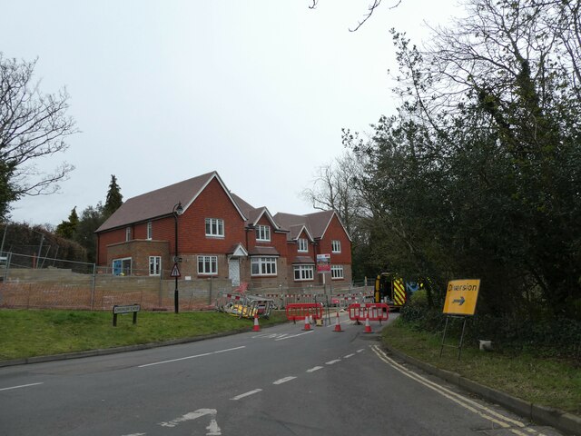
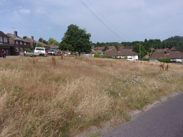
Lythe Hill Images

Images are sourced within 2km of 51.086586/-0.68659402 or Grid Reference SU9232. Thanks to Geograph Open Source API. All images are credited.

Valewood Farmhouse The farmhouse is a Grade II* (star) listed building. See <span class="nowrap"><a title="https://historicengland.org.uk/listing/the-list/list-entry/1354733" rel="nofollow ugc noopener" href="https://historicengland.org.uk/listing/the-list/list-entry/1354733">Link</a><img style="margin-left:2px;" alt="External link" title="External link - shift click to open in new window" src="https://s1.geograph.org.uk/img/external.png" width="10" height="10"/></span>
Valewood Farmhouse
The farmhouse is a Grade II* (star) listed building. See LinkExternal link
Gated Track On the Sussex Border Path in Chase Wood heading for Blackdown.
Gated Track
On the Sussex Border Path in Chase Wood heading for Blackdown.
Old Boundary Marker on Museum Hill, Haslemere Manor Boundary Marker in the rockery at the entrance to Museum Court, on the east side of Museum Hill. Haslemere parish. Inscribed 2 on the front and B H on the top. In 1814 the boundaries of the Old Manor of Haslemere were perambulated by the Leet Jury and surveyed by J. Perry. 31 Marker stones were set up, each one foot square and 3 ft 6 ins tall, marked B.H. on the top and numbered on outer face. 9 of these remain.

Milestone Society National ID: SY_HAS02em
Old Boundary Marker on Museum Hill, Haslemere
Manor Boundary Marker in the rockery at the entrance to Museum Court, on the east side of Museum Hill. Haslemere parish. Inscribed 2 on the front and B H on the top. In 1814 the boundaries of the Old Manor of Haslemere were perambulated by the Leet Jury and surveyed by J. Perry. 31 Marker stones were set up, each one foot square and 3 ft 6 ins tall, marked B.H. on the top and numbered on outer face. 9 of these remain. Milestone Society National ID: SY_HAS02em
New build in Haslemere (II) Church Meadows
New build in Haslemere (II)
Church Meadows
Road closure in Church Lane
New bike facility in West Street Car Park Overheard by me today. Car driver pulls into this part of the car park. "I always park there." So I say, "I think it's all part of the council's drive to be eco-friendly"
New bike facility in West Street Car Park
Overheard by me today. Car driver pulls into this part of the car park. "I always park there." So I say, "I think it's all part of the council's drive to be eco-friendly"
No mow May, June (and July) My neighbour in Parsons Green, a keen gardener, says all the seeds have blown into her garden and created "weeds"- which as we know means a plant we don't want on our patch!
No mow May, June (and July)
My neighbour in Parsons Green, a keen gardener, says all the seeds have blown into her garden and created "weeds"- which as we know means a plant we don't want on our patch!
Haslemere Educational Museum: jubilee flags
Haslemere Educational Museum: garden
Haslemere Educational Museum: rear It was originally built for the first Vicar of Haslemere
Haslemere Educational Museum: rear
It was originally built for the first Vicar of Haslemere
Haslemere Educational Museum: stained glass window
Haslemere Educational Museum: The Haslemere Panel It was presented to the  museum by the Haslemere Branch of The Embroiderers' Guild on 3 December 1987
Haslemere Educational Museum: The Haslemere Panel
It was presented to the museum by the Haslemere Branch of The Embroiderers' Guild on 3 December 1987
Haslemere Educational Museum: plaque I also found this about Ponsonby
Haslemere Educational Museum: plaque
I also found this about Ponsonby
Haslemere Educational Museum: toll board This one stood at Chiddingfold
Haslemere Educational Museum: toll board
This one stood at Chiddingfold
Haslemere Educational Museum: entertainment provided
This year's creature is..... .... a bird. In previous years the High Street has seen cows, pigs and hares.
This year's creature is.....
.... a bird. In previous years the High Street has seen cows, pigs and hares.
Renovations underway at The Wheatsheaf
Harrow House, West Street Today 246,894 photos have been uploaded to Geograph since January 1st 2023, of which 3,245 (1.3%) are mine.
Harrow House, West Street
Today 246,894 photos have been uploaded to Geograph since January 1st 2023, of which 3,245 (1.3%) are mine.
Show me another place!

Lythe Hill is located at Grid Ref: SU9232 (Lat: 51.086586, Lng: -0.68659402)

Administrative County: Surrey

District: Waverley

Police Authority: Surrey

What 3 Words

///amends.dignity.hack. Near Haslemere, Surrey

Related Wikis

Haste Hill

Haste Hill is a hill near Haslemere, Surrey in England which was probably the original settlement of the town of Haslemere. It was used as the site of...

Haslemere Town Hall

Haslemere Town Hall is a municipal building in the High Street, Haslemere, Surrey, England. The structure, which serves as the meeting place of Haslemere...

The Curry Club

The Curry Club was founded by Pat Chapman in 1982, to further the understanding and appreciation of the cuisines of the Indian subcontinent. In 2007 it...

Serpent Trail

The Serpent Trail is a 64-mile (103 km) long distance footpath. It runs from Haslemere to Petersfield, which are 11 miles apart in a straight line, by...

Haslemere Educational Museum

Haslemere Educational Museum was founded in 1888 by the eminent surgeon Sir Jonathan Hutchinson to display his growing collection of natural history specimens...
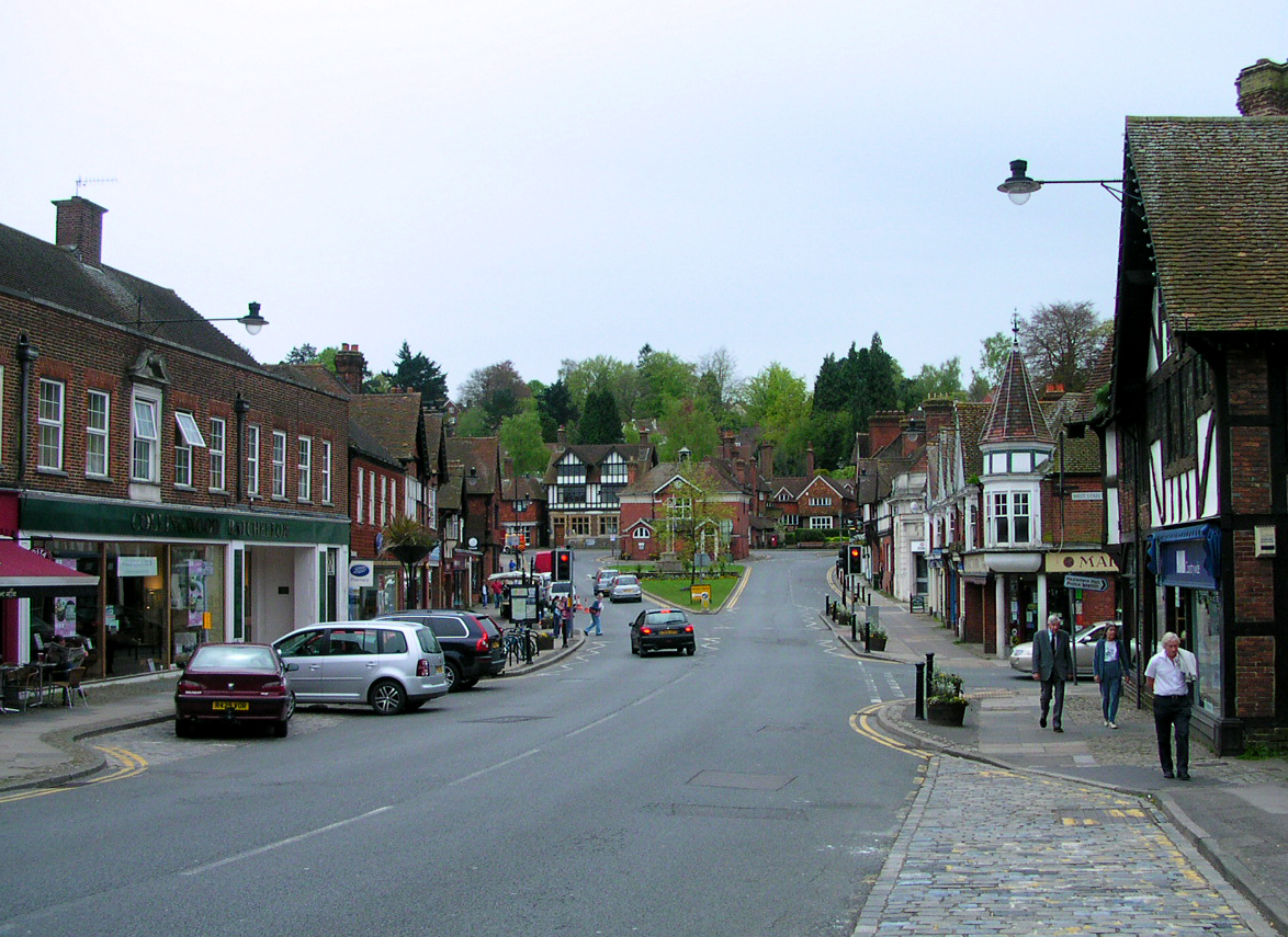
Haslemere

The town of Haslemere () and the villages of Shottermill and Grayswood are in south west Surrey, England, around 38 mi (62 km) south west of London. Together...

Church Hill House, Haslemere

Church Hill House is a grade II* listed house in Tanners Lane, Haslemere, Surrey. Parts of the walls are grade II listed as well as the adjoining Church...

All Saints' Church, Grayswood

All Saints' Church is an active parish church in the village of Grayswood, Surrey, England. The church stands in the centre of the village and was built...

Related Videos

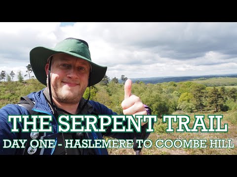
The Serpent Trail | 65 mile long distance trail | - Day One - Haslemere to Coombe Hill

Marek Larwood starts his four day journey on the Serpent Trail, a 65 mile walk set up by the South Downs National Park people.

Haslemere Circular Walk | Walks Near London | Olympus E-M5 Mark III Vlog

swcwalks #book1 #walk22 . Marek Larwood visits Haslemere to undertake the short 8.5 mile Haslemere Circular walk, taking in ...

Easter Adventure 2021

2 days of adventuring over the bank holiday weekend.

Nearby Amenities

Located within 500m of 51.086586,-0.68659402
Lythe Hill
Natural: peak
Source: npe
Lat/Long: 51.0857672/-0.6808236
Post Box
Collection Plate: CP7
Collection Times: Mo-Fr 16:15; Sa 12:00
Last Checked: 2020-03-06
Operator: Royal Mail
Post Box Type: lamp
Ref: GU27 158
Royal Cypher: EIIR
Royal Cypher Wikidata: Q33102113
Lat/Long: 51.0862355/-0.6876366
The data included in this document is from www.openstreetmap.org. The data is made available under ODbL.

Have you been to Lythe Hill?

Leave your review of Lythe Hill below (or comments, questions and feedback).