Alders

Settlement in Staffordshire East Staffordshire

England

Alders

Nabb Lane Nabb Lane gets very narrow in places so it was a good job that few people were driving along it, otherwise I would have caused a blockage.
Nabb Lane Credit: Malcolm Neal

Alders is a small village located in the district of Staffordshire, England. Situated near the River Trent, it is nestled amidst the picturesque countryside and offers a peaceful and idyllic setting. The village falls within the Staffordshire Moorlands district, approximately 7 miles east of the town of Leek.

With a population of around 500 residents, Alders maintains a tight-knit community atmosphere. The village is characterized by its charming cottages, many of which date back to the 18th and 19th centuries, giving it a distinct historical appeal. The streets are lined with well-maintained gardens, adding to the village's overall aesthetic beauty.

Despite its small size, Alders offers a range of amenities to its residents. These include a village hall, a local pub, and a primary school, catering to the needs of the community. The village is also well-connected, with regular bus services linking it to neighboring towns and villages.

Alders benefits from its proximity to the stunning countryside of Staffordshire, providing ample opportunities for outdoor activities such as hiking, cycling, and fishing. The nearby Peak District National Park offers breathtaking landscapes and picturesque trails, making it a popular destination for nature enthusiasts.

Overall, Alders is a charming and peaceful village in the heart of Staffordshire, offering a tranquil and close-knit community, beautiful surroundings, and easy access to the natural wonders of the region.

If you have any feedback on the listing, please let us know in the comments section below.
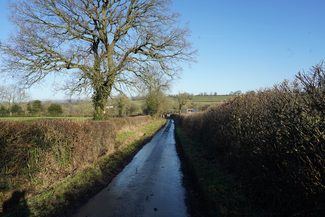
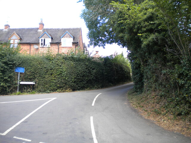
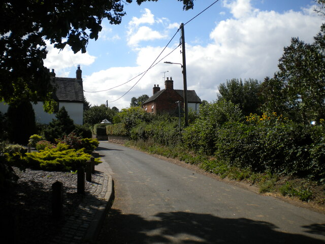
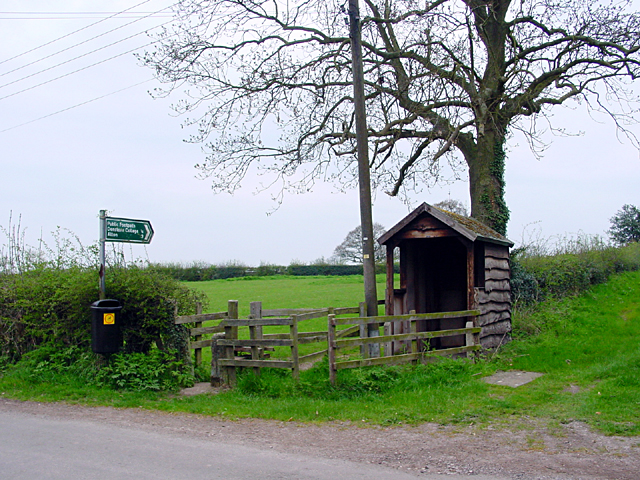
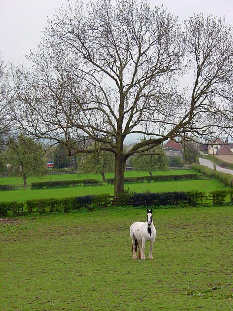
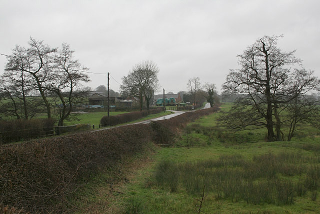
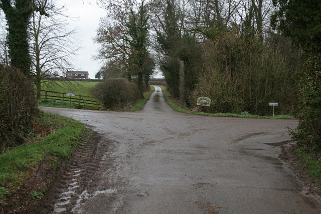
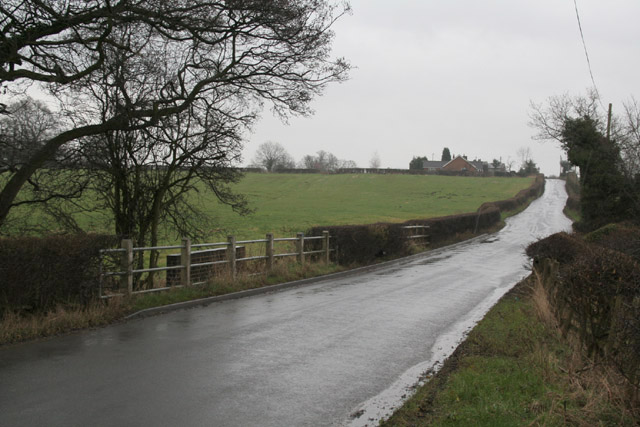
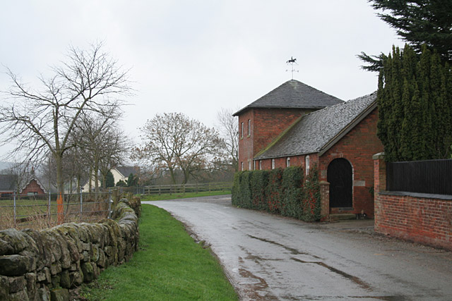
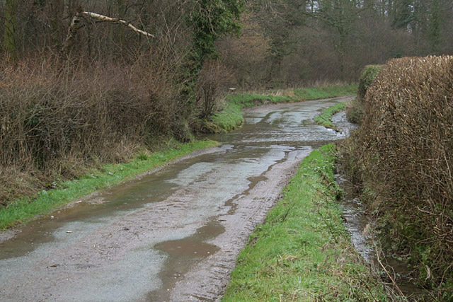
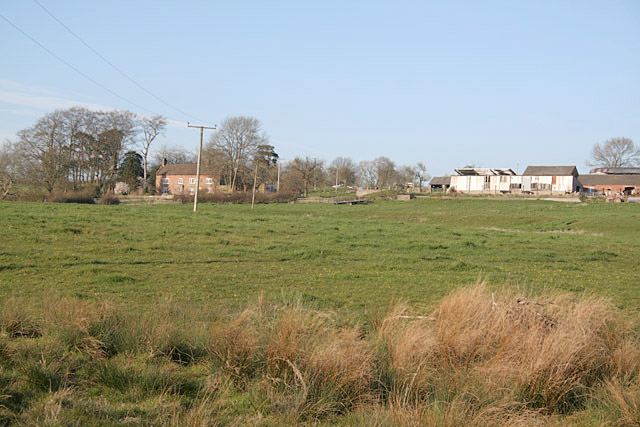
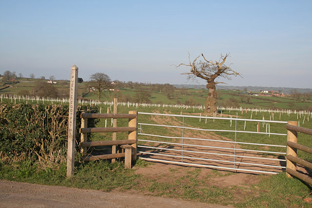
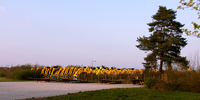
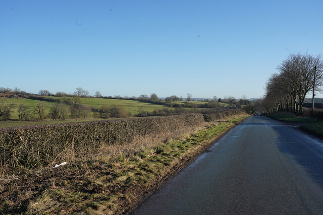
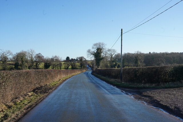
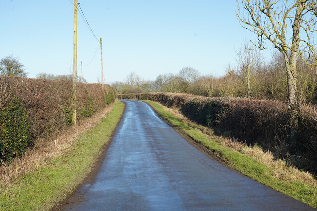
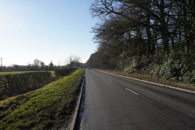
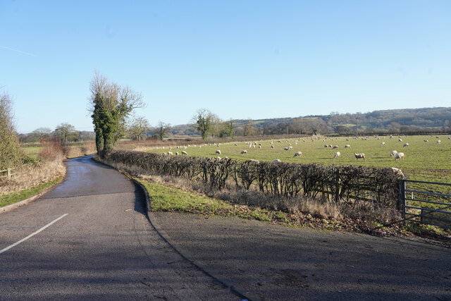
Alders Images

Images are sourced within 2km of 52.946997/-1.8669417 or Grid Reference SK0938. Thanks to Geograph Open Source API. All images are credited.

Nabb Lane Nabb Lane gets very narrow in places so it was a good job that few people were driving along it, otherwise I would have caused a blockage.
Nabb Lane
Nabb Lane gets very narrow in places so it was a good job that few people were driving along it, otherwise I would have caused a blockage.
South end of Narrow Lane, Denstone An appropriately named road off College Road.
South end of Narrow Lane, Denstone
An appropriately named road off College Road.
Oak Road, Denstone Near the southern edge of the village.
Oak Road, Denstone
Near the southern edge of the village.
Footpath from Stubwood Start of a footpath leading from Stubwood to Denstone College, a quarter of a mile away.
Footpath from Stubwood
Start of a footpath leading from Stubwood to Denstone College, a quarter of a mile away.
Fields at Stubwood One of the many horses in the fields around this area.
Fields at Stubwood
One of the many horses in the fields around this area.
Woottons The road from Rocester westwards towards Cheadle is here following a Roman alignment
Woottons
The road from Rocester westwards towards Cheadle is here following a Roman alignment
The end of Hook Lane The public road splits into three separate farm accesses to Pale Platts Farm, Larksrise Farm and Nothill Farm. Larksrise farm is now a Cattery.
The end of Hook Lane
The public road splits into three separate farm accesses to Pale Platts Farm, Larksrise Farm and Nothill Farm. Larksrise farm is now a Cattery.
Roman Road near Woottons The road from Rocester westwards towards Cheadle is here following a Roman alignment
Roman Road near Woottons
The road from Rocester westwards towards Cheadle is here following a Roman alignment
Combridge Attractive farm buildings at Combridge Farm indicate an affluent past. The modern farm also shows signs of investment.
Combridge
Attractive farm buildings at Combridge Farm indicate an affluent past. The modern farm also shows signs of investment.
Ford near Combridge
Ford near Combridge
Pointhorne Like many farms in this area, the name does not include the word "farm".
Pointhorne
Like many farms in this area, the name does not include the word "farm".
Footpath to Stubwood The old tree looks like an Arthur Rackham fairy tale illustration, and will shortly be enveloped in new growth.
Footpath to Stubwood
The old tree looks like an Arthur Rackham fairy tale illustration, and will shortly be enveloped in new growth.
Diggers at sunset
Diggers at sunset
Hollington Road Hollington Road runs along the line of an old Roman Road which accounts for it being very straight.
Hollington Road
Hollington Road runs along the line of an old Roman Road which accounts for it being very straight.
Hollington Road Standing by the track to Woottons Farm the old Roman Road has a slight bend in it.
Hollington Road
Standing by the track to Woottons Farm the old Roman Road has a slight bend in it.
Nabb Lane Looking along Nabb Lane in the direction of the village of Alton, now famous for Alton Towers.
Nabb Lane
Looking along Nabb Lane in the direction of the village of Alton, now famous for Alton Towers.
Churnet Way The B5030 Churnet Way is still alongside the landscaped JCB headquarters.
Churnet Way
The B5030 Churnet Way is still alongside the landscaped JCB headquarters.
A minor road to some farms This is a very minor road leading to several bridle tracks and some farms.
A minor road to some farms
This is a very minor road leading to several bridle tracks and some farms.
Show me another place!

Alders is located at Grid Ref: SK0938 (Lat: 52.946997, Lng: -1.8669417)

Administrative County: Staffordshire

District: East Staffordshire

Police Authority: Staffordshire

What 3 Words

///conjured.weary.drummers. Near Doveridge, Derbyshire

Related Wikis

Rocester railway station

Rocester railway station was a railway station built by the North Staffordshire Railway (NSR) located at Rocester in Staffordshire. == History == It was...

Denstone College

Denstone College is a mixed, private, boarding and day school in Denstone, Uttoxeter, Staffordshire, England. It is a Woodard School, having been founded...

River Churnet

The River Churnet is a river in Staffordshire, England. It is a tributary of the River Dove. == Etymology == The origins of the name "Churnet" are unknown...

Combridge

Combridge is a small settlement in Staffordshire, England. It is near the town of Uttoxeter. For population details as taken at the 2011 census see Rocester...

Rocester

Rocester is a village and civil parish in the East Staffordshire district of Staffordshire, England. Its name is spelt Rowcestre in the Domesday Book...

Denstone

Denstone is a village and civil parish situated between the towns of Uttoxeter in East Staffordshire and Ashbourne in Derbyshire. It is located next to...

Denstone railway station

Denstone railway station is a former station of the North Staffordshire Railway's (NSR) Churnet Valley Line which served the village of Denstone in Staffordshire...

Rocester Abbey

Rocester Abbey was a medieval monastic house at Rocester, Staffordshire, England of which there is now no trace above ground level. The Augustinian abbey...

Nearby Amenities

Located within 500m of 52.946997,-1.8669417
Passing Place
Lat/Long: 52.9455578/-1.8727876
Passing Place
Lat/Long: 52.9426325/-1.8681155
Passing Place
Lat/Long: 52.9429591/-1.868411
Passing Place
Lat/Long: 52.9433632/-1.8691098
Ford: yes
Lat/Long: 52.9485716/-1.8671189
Ford: yes
Lat/Long: 52.9441354/-1.8680725
Crossing
Lat/Long: 52.9454789/-1.8679492
Ford: yes
Lat/Long: 52.9441437/-1.8661691
Turning Circle
Lat/Long: 52.9449627/-1.8615013
The data included in this document is from www.openstreetmap.org. The data is made available under ODbL.

Have you been to Alders?

Leave your review of Alders below (or comments, questions and feedback).