Hough Wood

Wood, Forest in Staffordshire East Staffordshire

England

Hough Wood

Footpath from Stubwood Start of a footpath leading from Stubwood to Denstone College, a quarter of a mile away.
Footpath from Stubwood Credit: Linda Bailey

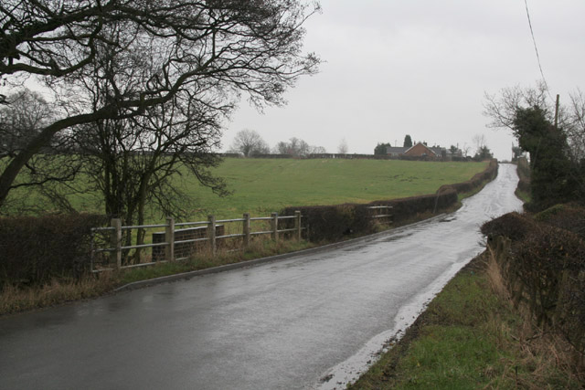
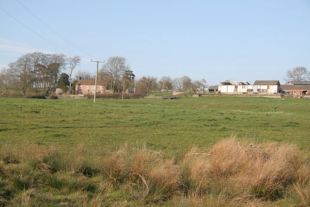
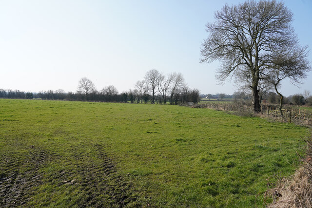
Hough Wood is a picturesque woodland located in Staffordshire, England. Spanning an area of approximately 70 acres, it is a beautiful example of ancient woodland and is a designated Site of Special Scientific Interest (SSSI). The wood is situated near the village of Hough, just a few miles south of the town of Uttoxeter.

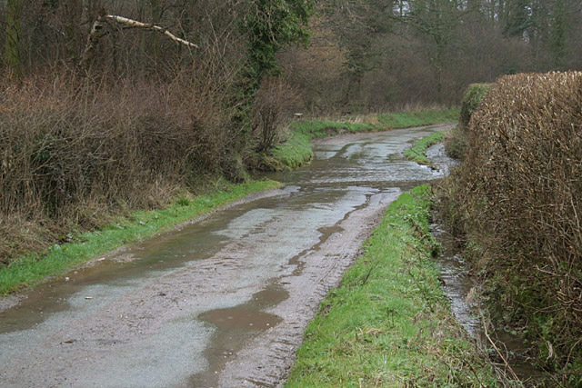
Hough Wood is predominantly composed of mixed deciduous trees, including oak, birch, beech, and ash. These trees create a dense canopy that provides a habitat for a wide variety of flora and fauna. The woodland floor is adorned with a stunning array of wildflowers, such as bluebells, primroses, and wood anemones, which add bursts of color during springtime.

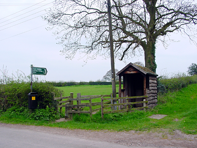
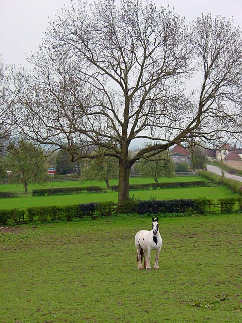
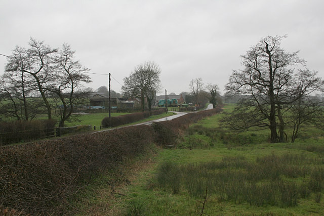
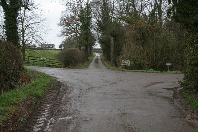
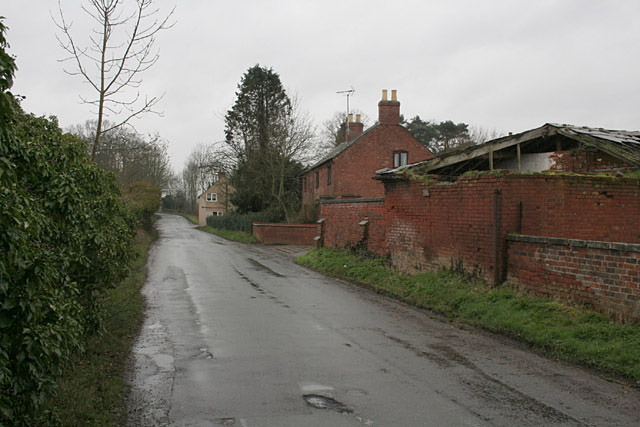
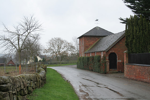
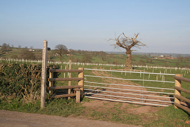
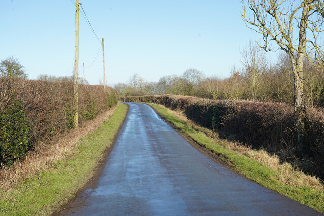
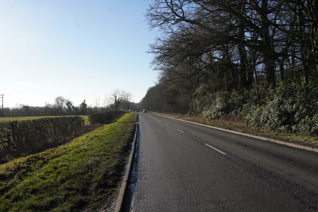
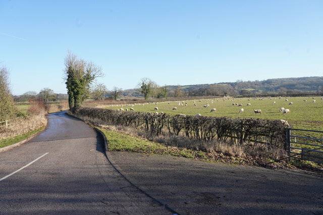
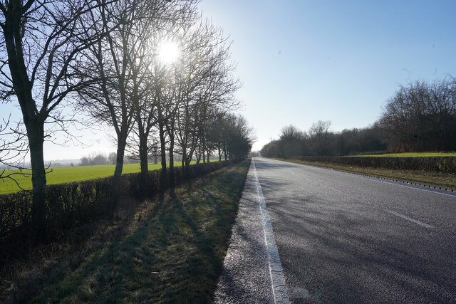
The wood is crisscrossed by a network of footpaths and trails, making it a popular destination for walkers, nature lovers, and outdoor enthusiasts. These paths lead visitors through the enchanting woodland, past tranquil streams, and alongside charming meadows. It is not uncommon to encounter wildlife such as deer, foxes, badgers, and a diverse range of bird species while exploring Hough Wood.

In addition to its natural beauty, Hough Wood also holds historical significance. There are remnants of ancient earthworks within the wood, indicating human occupation in the area dating back thousands of years.

Hough Wood offers a peaceful and serene escape from the hustle and bustle of daily life, providing visitors with the opportunity to immerse themselves in the wonders of nature and discover the rich history of this Staffordshire gem.

If you have any feedback on the listing, please let us know in the comments section below.

Hough Wood Images

Images are sourced within 2km of 52.942623/-1.8623868 or Grid Reference SK0938. Thanks to Geograph Open Source API. All images are credited.

Footpath from Stubwood Start of a footpath leading from Stubwood to Denstone College, a quarter of a mile away.
Footpath from Stubwood
Start of a footpath leading from Stubwood to Denstone College, a quarter of a mile away.
Fields at Stubwood One of the many horses in the fields around this area.
Fields at Stubwood
One of the many horses in the fields around this area.
Pale Platts Farm
Pale Platts Farm
Woottons The road from Rocester westwards towards Cheadle is here following a Roman alignment
Woottons
The road from Rocester westwards towards Cheadle is here following a Roman alignment
The end of Hook Lane The public road splits into three separate farm accesses to Pale Platts Farm, Larksrise Farm and Nothill Farm. Larksrise farm is now a Cattery.
The end of Hook Lane
The public road splits into three separate farm accesses to Pale Platts Farm, Larksrise Farm and Nothill Farm. Larksrise farm is now a Cattery.
Roman Road near Woottons The road from Rocester westwards towards Cheadle is here following a Roman alignment
Roman Road near Woottons
The road from Rocester westwards towards Cheadle is here following a Roman alignment
Crakemarsh The former main road from Uttoxeter to Ashbourne has been superseded by a modern bypass
Crakemarsh
The former main road from Uttoxeter to Ashbourne has been superseded by a modern bypass
Combridge Attractive farm buildings at Combridge Farm indicate an affluent past. The modern farm also shows signs of investment.
Combridge
Attractive farm buildings at Combridge Farm indicate an affluent past. The modern farm also shows signs of investment.
Ford near Combridge
Ford near Combridge
Pointhorne Like many farms in this area, the name does not include the word "farm".
Pointhorne
Like many farms in this area, the name does not include the word "farm".
Footpath to Stubwood The old tree looks like an Arthur Rackham fairy tale illustration, and will shortly be enveloped in new growth.
Footpath to Stubwood
The old tree looks like an Arthur Rackham fairy tale illustration, and will shortly be enveloped in new growth.
Diggers at sunset
Diggers at sunset
Hollington Road Standing by the track to Woottons Farm the old Roman Road has a slight bend in it.
Hollington Road
Standing by the track to Woottons Farm the old Roman Road has a slight bend in it.
Nabb Lane Looking along Nabb Lane in the direction of the village of Alton, now famous for Alton Towers.
Nabb Lane
Looking along Nabb Lane in the direction of the village of Alton, now famous for Alton Towers.
Churnet Way The B5030 Churnet Way is still alongside the landscaped JCB headquarters.
Churnet Way
The B5030 Churnet Way is still alongside the landscaped JCB headquarters.
A minor road to some farms This is a very minor road leading to several bridle tracks and some farms.
A minor road to some farms
This is a very minor road leading to several bridle tracks and some farms.
A sunlit B5030 Thankfully there are some narrow pull ins along the B5030 otherwise it would be a perilour place to stop to take pictures, as it is very busy with heavy lorries and other traffic.
A sunlit B5030
Thankfully there are some narrow pull ins along the B5030 otherwise it would be a perilour place to stop to take pictures, as it is very busy with heavy lorries and other traffic.
Fields off Hook Lane A bright but fairly cold Spring morning with the trees and hedges yet to come into leaf.
Fields off Hook Lane
A bright but fairly cold Spring morning with the trees and hedges yet to come into leaf.
Show me another place!

Hough Wood is located at Grid Ref: SK0938 (Lat: 52.942623, Lng: -1.8623868)

Administrative County: Staffordshire

District: East Staffordshire

Police Authority: Staffordshire

What 3 Words

///goats.moats.streaking. Near Doveridge, Derbyshire

Related Wikis

Rocester railway station

Rocester railway station was a railway station built by the North Staffordshire Railway (NSR) located at Rocester in Staffordshire. == History == It was...

River Churnet

The River Churnet is a river in Staffordshire, England. It is a tributary of the River Dove. == Etymology == The origins of the name "Churnet" are unknown...

Combridge

Combridge is a small settlement in Staffordshire, England. It is near the town of Uttoxeter. For population details as taken at the 2011 census see Rocester...

Rocester

Rocester is a village and civil parish in the East Staffordshire district of Staffordshire, England. Its name is spelt Rowcestre in the Domesday Book...

Denstone College

Denstone College is a mixed, private, boarding and day school in Denstone, Uttoxeter, Staffordshire, England. It is a Woodard School, having been founded...

Rocester Abbey

Rocester Abbey was a medieval monastic house at Rocester, Staffordshire, England of which there is now no trace above ground level. The Augustinian abbey...

JCB Academy

The JCB Academy is a non-selective co-educational secondary school within the English University Technical College programme, in Rocester, Staffordshire...

Rocester F.C.

Rocester Football Club is a football club based in Rocester, near Uttoxeter, Staffordshire, England, currently playing in the Staffordshire County Senior...

Related Videos

An almost stormy Epic Hike to Rocester

Good evening travelers, wanderers and pilgrims. I trust you are all well. I apologize for not writing yesterday. I had a very long day ...

fxhj8bkqnbfxdx bnnmnnhnujju

Limit Future :Amazing design! What do you think? Tag your friends! . Follow:@limitfuture for more! By : @rvnarquitetura .

DENSTONE: East Staffordshire Parish #1 of 38

EAST STAFFORDSHIRE PARISH #1: DENSTONE Welcome to Staffordshire for the first time on the channel. This is Denstone ...

Nearby Amenities

Located within 500m of 52.942623,-1.8623868
Ford: yes
Source: OS_OpenData_StreetView;survey
Lat/Long: 52.9422166/-1.867111
Passing Place
Lat/Long: 52.9426325/-1.8681155
Passing Place
Lat/Long: 52.9422686/-1.8675147
Passing Place
Lat/Long: 52.9400617/-1.8638666
Passing Place
Lat/Long: 52.9414611/-1.8655422
Passing Place
Lat/Long: 52.9429591/-1.868411
Passing Place
Lat/Long: 52.9433632/-1.8691098
Ford: yes
Lat/Long: 52.9441354/-1.8680725
Crossing
Lat/Long: 52.9454789/-1.8679492
Ford: yes
Lat/Long: 52.9441437/-1.8661691
Turning Circle
Lat/Long: 52.9449627/-1.8615013
The data included in this document is from www.openstreetmap.org. The data is made available under ODbL.

Have you been to Hough Wood?

Leave your review of Hough Wood below (or comments, questions and feedback).