Alder Carr

Wood, Forest in Staffordshire East Staffordshire

England

Alder Carr

Footpath from Stubwood Start of a footpath leading from Stubwood to Denstone College, a quarter of a mile away.
Footpath from Stubwood Credit: Linda Bailey

Alder Carr is a picturesque woodland area located in Staffordshire, England. Situated near the village of Staffordshire Moorlands, this enchanting forest is known for its dense growth of alder trees, hence the name "Alder Carr." Spread across a vast expanse of land, the forest is a haven for nature enthusiasts and offers a tranquil escape from the hustle and bustle of everyday life.

The woodland is characterized by its lush greenery, with a diverse range of flora and fauna thriving within its borders. The alder trees dominate the landscape, their towering trunks and sprawling branches creating a majestic canopy that provides shade and shelter for a variety of wildlife. Visitors to Alder Carr can expect to encounter an array of bird species, such as woodpeckers and owls, as well as small mammals like squirrels and hedgehogs.

Tranquil walking trails wind their way through the forest, allowing visitors to explore its natural beauty at their own pace. The paths are well-maintained, making them accessible to people of all ages and abilities. Along the way, there are several designated picnic spots where visitors can pause and enjoy a packed lunch amidst the serenity of the woodland.

Alder Carr is also home to a small lake, adding to the scenic charm of the area. The shimmering waters reflect the surrounding trees, creating a picturesque setting that is perfect for photography or simply taking in the breathtaking views.

Overall, Alder Carr is a hidden gem in Staffordshire, offering a peaceful retreat for those seeking solace in nature. Whether it's a leisurely walk, birdwatching, or simply enjoying a moment of tranquility, this woodland sanctuary has something to offer to everyone who ventures within its borders.

If you have any feedback on the listing, please let us know in the comments section below.
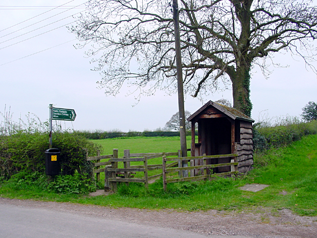
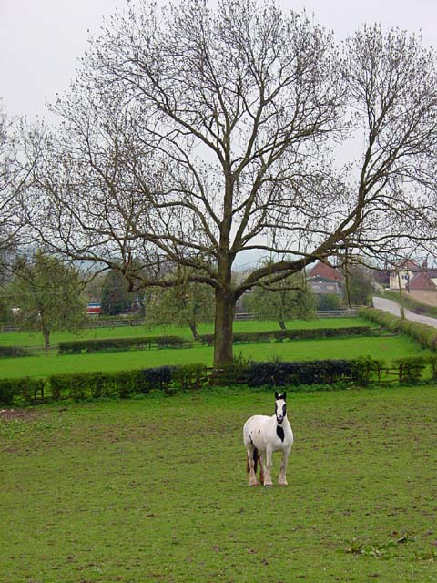
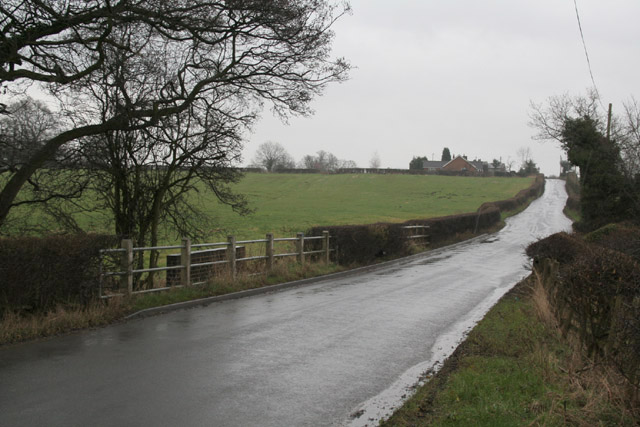
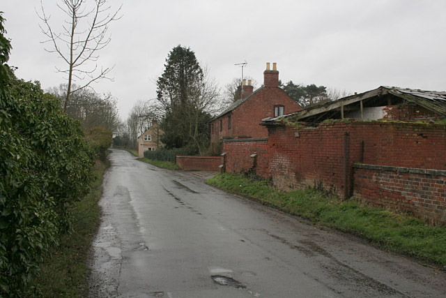
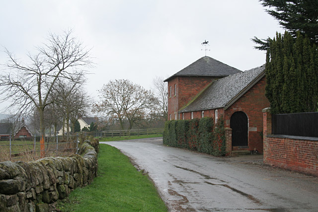
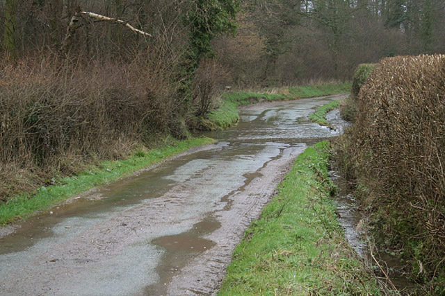
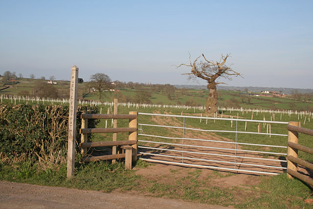
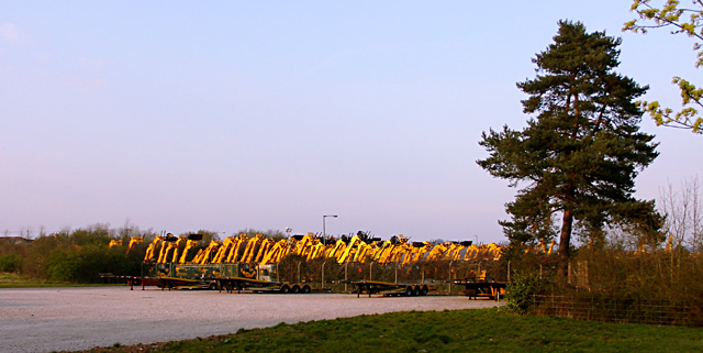
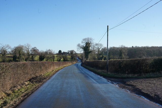
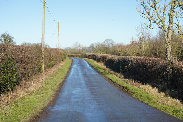
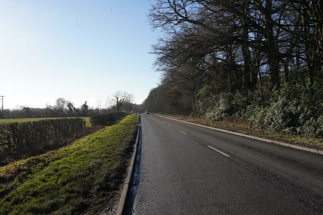
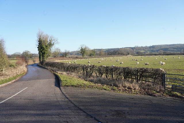
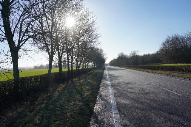
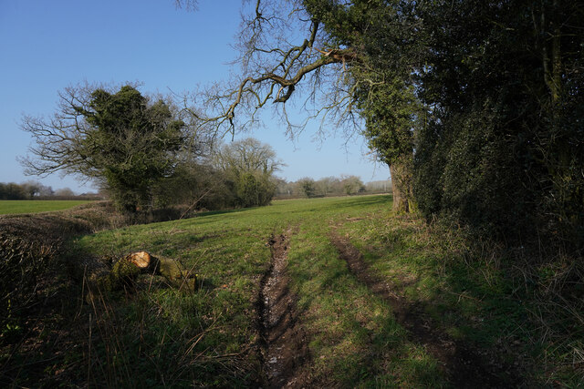
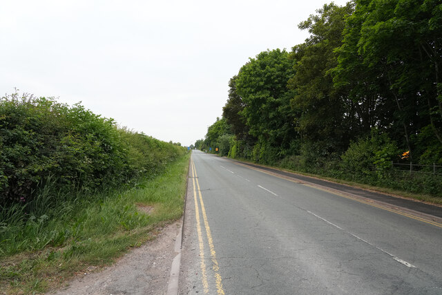
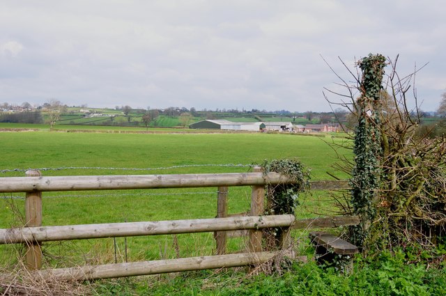
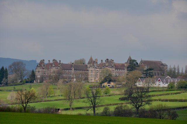
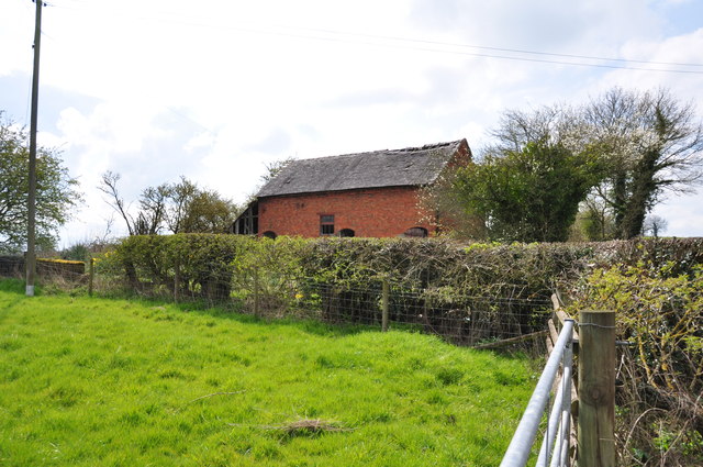
Alder Carr Images

Images are sourced within 2km of 52.942243/-1.8532662 or Grid Reference SK0938. Thanks to Geograph Open Source API. All images are credited.

Footpath from Stubwood Start of a footpath leading from Stubwood to Denstone College, a quarter of a mile away.
Footpath from Stubwood
Start of a footpath leading from Stubwood to Denstone College, a quarter of a mile away.
Fields at Stubwood One of the many horses in the fields around this area.
Fields at Stubwood
One of the many horses in the fields around this area.
Roman Road near Woottons The road from Rocester westwards towards Cheadle is here following a Roman alignment
Roman Road near Woottons
The road from Rocester westwards towards Cheadle is here following a Roman alignment
Crakemarsh The former main road from Uttoxeter to Ashbourne has been superseded by a modern bypass
Crakemarsh
The former main road from Uttoxeter to Ashbourne has been superseded by a modern bypass
Combridge Attractive farm buildings at Combridge Farm indicate an affluent past. The modern farm also shows signs of investment.
Combridge
Attractive farm buildings at Combridge Farm indicate an affluent past. The modern farm also shows signs of investment.
Ford near Combridge
Ford near Combridge
Footpath to Stubwood The old tree looks like an Arthur Rackham fairy tale illustration, and will shortly be enveloped in new growth.
Footpath to Stubwood
The old tree looks like an Arthur Rackham fairy tale illustration, and will shortly be enveloped in new growth.
Diggers at sunset
Diggers at sunset
Hollington Road Standing by the track to Woottons Farm the old Roman Road has a slight bend in it.
Hollington Road
Standing by the track to Woottons Farm the old Roman Road has a slight bend in it.
Nabb Lane Looking along Nabb Lane in the direction of the village of Alton, now famous for Alton Towers.
Nabb Lane
Looking along Nabb Lane in the direction of the village of Alton, now famous for Alton Towers.
Churnet Way The B5030 Churnet Way is still alongside the landscaped JCB headquarters.
Churnet Way
The B5030 Churnet Way is still alongside the landscaped JCB headquarters.
A minor road to some farms This is a very minor road leading to several bridle tracks and some farms.
A minor road to some farms
This is a very minor road leading to several bridle tracks and some farms.
A sunlit B5030 Thankfully there are some narrow pull ins along the B5030 otherwise it would be a perilour place to stop to take pictures, as it is very busy with heavy lorries and other traffic.
A sunlit B5030
Thankfully there are some narrow pull ins along the B5030 otherwise it would be a perilour place to stop to take pictures, as it is very busy with heavy lorries and other traffic.
Off Hook Lane The trees are green due to heavy burden of Ivy that they are carrying.
Off Hook Lane
The trees are green due to heavy burden of Ivy that they are carrying.
Hollington Road This road is quite straight as it runs along, or close to, an old Roman road.
Hollington Road
This road is quite straight as it runs along, or close to, an old Roman road.
Footpath to Woodhouse Fields Farm and beyond
Telephoto shot of Denstone College Wikipedia info. of Denstone College.  <span class="nowrap"><a title="http://en.wikipedia.org/wiki/Denstone_College" rel="nofollow ugc noopener" href="http://en.wikipedia.org/wiki/Denstone_College">Link</a><img style="margin-left:2px;" alt="External link" title="External link - shift click to open in new window" src="https://s1.geograph.org.uk/img/external.png" width="10" height="10"/></span>
Telephoto shot of Denstone College
Wikipedia info. of Denstone College. LinkExternal link
Derelict Building at Alders
Show me another place!

Alder Carr is located at Grid Ref: SK0938 (Lat: 52.942243, Lng: -1.8532662)

Administrative County: Staffordshire

District: East Staffordshire

Police Authority: Staffordshire

What 3 Words

///fell.trucked.snuggled. Near Doveridge, Derbyshire

Related Wikis

Nearby Amenities

Located within 500m of 52.942243,-1.8532662
Power: pole
Lat/Long: 52.9386344/-1.8535432
Power: pole
Lat/Long: 52.9387344/-1.8540319
Power: pole
Lat/Long: 52.9394822/-1.8561471
Power: pole
Lat/Long: 52.9398087/-1.8535386
Power: pole
Lat/Long: 52.939913/-1.853893
Power: pole
Lat/Long: 52.940263/-1.8552846
Power: pole
Lat/Long: 52.9411446/-1.8535398
Power: pole
Lat/Long: 52.9411759/-1.8537518
Power: pole
Lat/Long: 52.9411936/-1.8543167
Power: pole
Lat/Long: 52.9422291/-1.8526874
Power: pole
Lat/Long: 52.9422589/-1.8535489
Power: pole
Lat/Long: 52.942314/-1.8536765
Power: pole
Lat/Long: 52.9429465/-1.8518112
Power: pole
Lat/Long: 52.9436156/-1.851031
Power: pole
Lat/Long: 52.9443395/-1.8501494
Power: pole
Lat/Long: 52.945267/-1.8490495
Power: pole
Source: Bing
Lat/Long: 52.9388884/-1.8567538
Power: pole
Source: Bing
Lat/Long: 52.9445765/-1.8512953
The data included in this document is from www.openstreetmap.org. The data is made available under ODbL.

Have you been to Alder Carr?

Leave your review of Alder Carr below (or comments, questions and feedback).