Buffers Wood

Wood, Forest in Staffordshire East Staffordshire

England

Buffers Wood

Footpath from Stubwood Start of a footpath leading from Stubwood to Denstone College, a quarter of a mile away.
Footpath from Stubwood Credit: Linda Bailey

Buffers Wood is a scenic woodland located in the county of Staffordshire, England. Situated near the village of Abbots Bromley, this lush forest covers an area of approximately 150 acres. The woodland is primarily composed of mature broadleaf trees, such as oak, ash, and beech, creating a diverse and vibrant ecosystem.

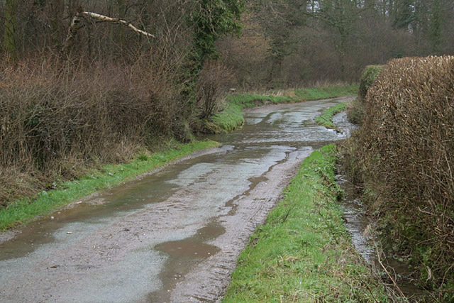
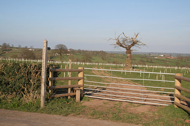
Buffers Wood is known for its tranquil and serene environment, attracting nature enthusiasts and walkers from near and far. The well-maintained footpaths meander through the woods, allowing visitors to explore the beauty of the area at their own pace. The dense vegetation and the variety of plant species provide a rich habitat for a wide range of wildlife, including various bird species, squirrels, and deer.

The wood is also home to several man-made features, including a small pond that serves as a watering hole for the local wildlife. This adds to the overall natural charm and appeal of the woodland. Additionally, there are several picnic spots scattered throughout the area, providing visitors with the opportunity to relax and enjoy the peaceful surroundings.

Buffers Wood is managed by the Forestry Commission, ensuring its preservation and maintenance for future generations to enjoy. The commission regularly carries out conservation work to protect the natural habitat and promote biodiversity within the woodland.

Overall, Buffers Wood offers a picturesque and tranquil escape from the hustle and bustle of everyday life. With its diverse flora and fauna, well-marked trails, and peaceful ambiance, this enchanting forest in Staffordshire is a true haven for nature lovers and a delightful destination for a peaceful stroll or a family picnic.

If you have any feedback on the listing, please let us know in the comments section below.
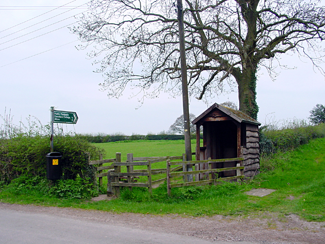
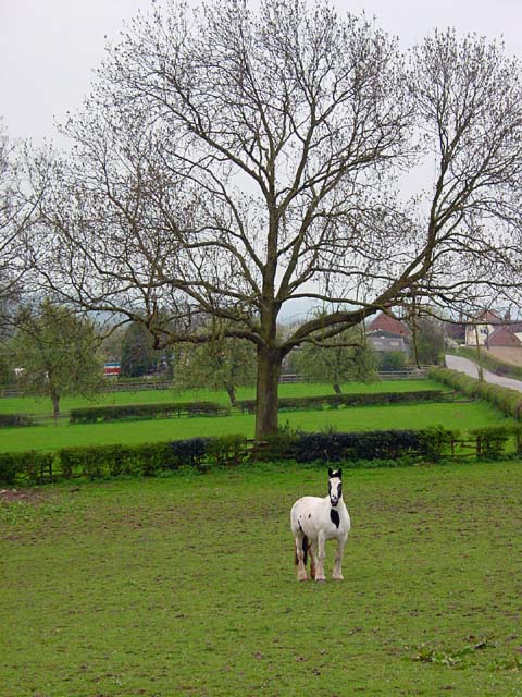
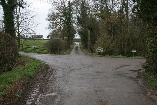
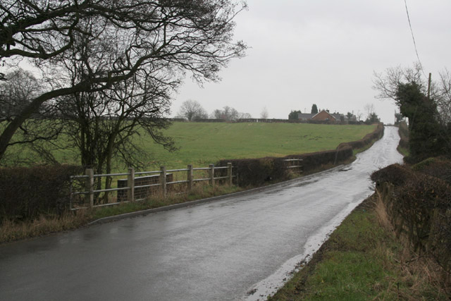
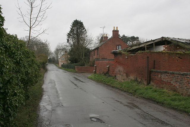
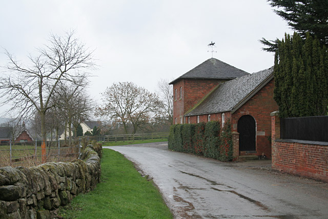
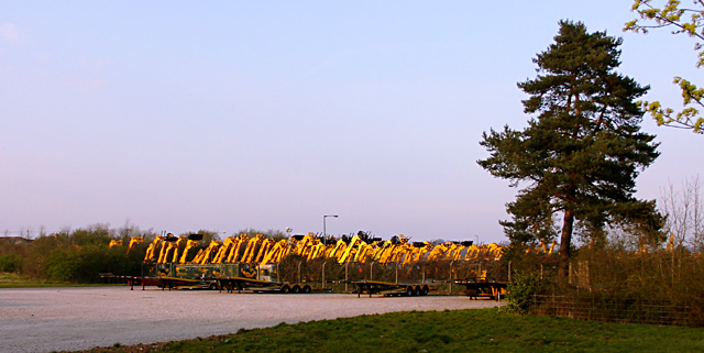
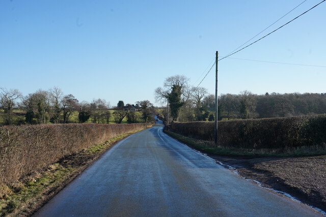
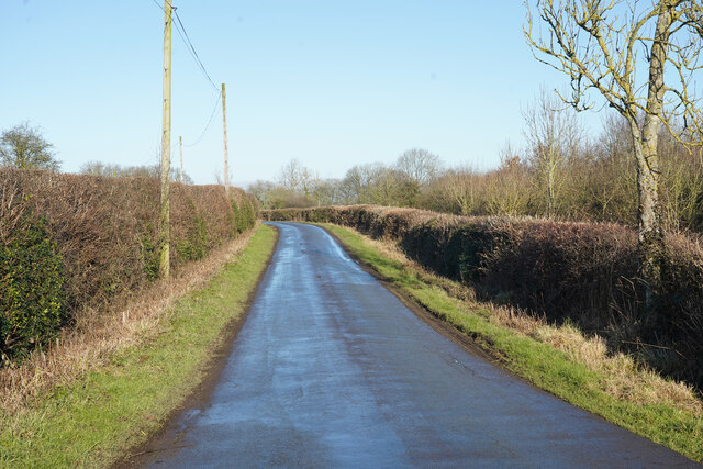
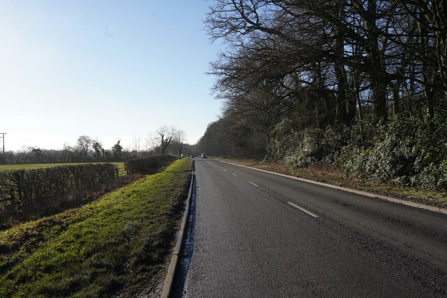
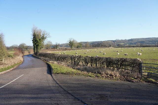
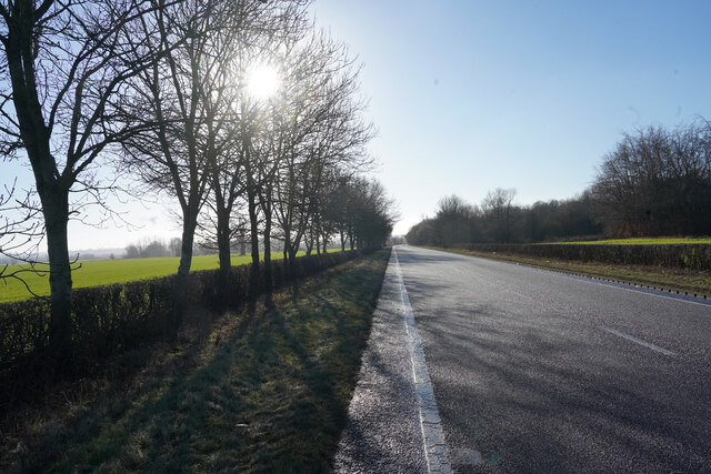
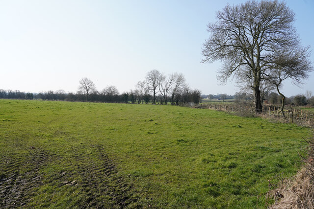
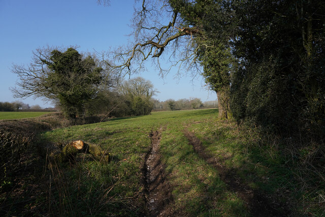
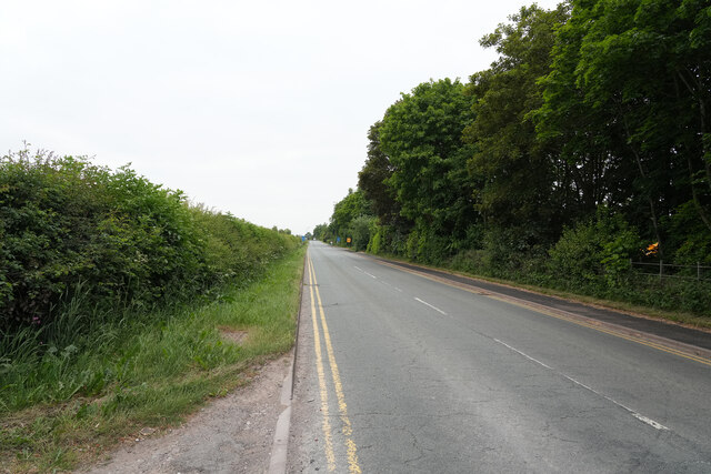
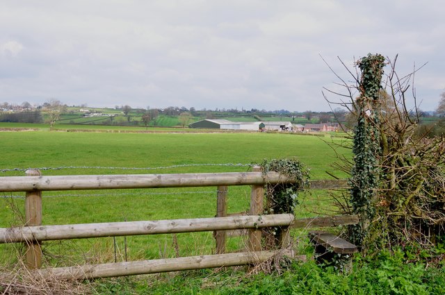
Buffers Wood Images

Images are sourced within 2km of 52.941062/-1.8572729 or Grid Reference SK0938. Thanks to Geograph Open Source API. All images are credited.

Footpath from Stubwood Start of a footpath leading from Stubwood to Denstone College, a quarter of a mile away.
Footpath from Stubwood
Start of a footpath leading from Stubwood to Denstone College, a quarter of a mile away.
Fields at Stubwood One of the many horses in the fields around this area.
Fields at Stubwood
One of the many horses in the fields around this area.
The end of Hook Lane The public road splits into three separate farm accesses to Pale Platts Farm, Larksrise Farm and Nothill Farm. Larksrise farm is now a Cattery.
The end of Hook Lane
The public road splits into three separate farm accesses to Pale Platts Farm, Larksrise Farm and Nothill Farm. Larksrise farm is now a Cattery.
Roman Road near Woottons The road from Rocester westwards towards Cheadle is here following a Roman alignment
Roman Road near Woottons
The road from Rocester westwards towards Cheadle is here following a Roman alignment
Crakemarsh The former main road from Uttoxeter to Ashbourne has been superseded by a modern bypass
Crakemarsh
The former main road from Uttoxeter to Ashbourne has been superseded by a modern bypass
Combridge Attractive farm buildings at Combridge Farm indicate an affluent past. The modern farm also shows signs of investment.
Combridge
Attractive farm buildings at Combridge Farm indicate an affluent past. The modern farm also shows signs of investment.
Ford near Combridge
Ford near Combridge
Footpath to Stubwood The old tree looks like an Arthur Rackham fairy tale illustration, and will shortly be enveloped in new growth.
Footpath to Stubwood
The old tree looks like an Arthur Rackham fairy tale illustration, and will shortly be enveloped in new growth.
Diggers at sunset
Diggers at sunset
Hollington Road Standing by the track to Woottons Farm the old Roman Road has a slight bend in it.
Hollington Road
Standing by the track to Woottons Farm the old Roman Road has a slight bend in it.
Nabb Lane Looking along Nabb Lane in the direction of the village of Alton, now famous for Alton Towers.
Nabb Lane
Looking along Nabb Lane in the direction of the village of Alton, now famous for Alton Towers.
Churnet Way The B5030 Churnet Way is still alongside the landscaped JCB headquarters.
Churnet Way
The B5030 Churnet Way is still alongside the landscaped JCB headquarters.
A minor road to some farms This is a very minor road leading to several bridle tracks and some farms.
A minor road to some farms
This is a very minor road leading to several bridle tracks and some farms.
A sunlit B5030 Thankfully there are some narrow pull ins along the B5030 otherwise it would be a perilour place to stop to take pictures, as it is very busy with heavy lorries and other traffic.
A sunlit B5030
Thankfully there are some narrow pull ins along the B5030 otherwise it would be a perilour place to stop to take pictures, as it is very busy with heavy lorries and other traffic.
Fields off Hook Lane A bright but fairly cold Spring morning with the trees and hedges yet to come into leaf.
Fields off Hook Lane
A bright but fairly cold Spring morning with the trees and hedges yet to come into leaf.
Off Hook Lane The trees are green due to heavy burden of Ivy that they are carrying.
Off Hook Lane
The trees are green due to heavy burden of Ivy that they are carrying.
Hollington Road This road is quite straight as it runs along, or close to, an old Roman road.
Hollington Road
This road is quite straight as it runs along, or close to, an old Roman road.
Footpath to Woodhouse Fields Farm and beyond
Show me another place!

Buffers Wood is located at Grid Ref: SK0938 (Lat: 52.941062, Lng: -1.8572729)

Administrative County: Staffordshire

District: East Staffordshire

Police Authority: Staffordshire

What 3 Words

///udder.scoping.flippers. Near Doveridge, Derbyshire

Related Wikis

Nearby Amenities

Located within 500m of 52.941062,-1.8572729
Barrier: stile
Steps: 2
Stile: stepover
Lat/Long: 52.9374115/-1.8616328
Barrier: stile
Steps: 2
Stile: stepover
Lat/Long: 52.9377873/-1.8606533
Post Box
Lat/Long: 52.9375726/-1.8602839
Passing Place
Lat/Long: 52.9400617/-1.8638666
Power: pole
Lat/Long: 52.9374851/-1.8535481
Power: pole
Lat/Long: 52.9375228/-1.8541366
Power: pole
Lat/Long: 52.9386344/-1.8535432
Power: pole
Lat/Long: 52.9387344/-1.8540319
Power: pole
Lat/Long: 52.9394822/-1.8561471
Power: pole
Lat/Long: 52.9398087/-1.8535386
Power: pole
Lat/Long: 52.939913/-1.853893
Power: pole
Lat/Long: 52.940263/-1.8552846
Power: pole
Lat/Long: 52.9411446/-1.8535398
Power: pole
Lat/Long: 52.9411759/-1.8537518
Power: pole
Lat/Long: 52.9411936/-1.8543167
Power: pole
Lat/Long: 52.9422291/-1.8526874
Power: pole
Lat/Long: 52.9422589/-1.8535489
Power: pole
Lat/Long: 52.942314/-1.8536765
Power: pole
Lat/Long: 52.9429465/-1.8518112
Power: pole
Source: Bing
Lat/Long: 52.9372121/-1.8585348
Power: pole
Source: Bing
Lat/Long: 52.937676/-1.8581325
Power: pole
Source: Bing
Lat/Long: 52.9382095/-1.857478
Power: pole
Source: Bing
Lat/Long: 52.9388884/-1.8567538
The data included in this document is from www.openstreetmap.org. The data is made available under ODbL.

Have you been to Buffers Wood?

Leave your review of Buffers Wood below (or comments, questions and feedback).