Alderford
Settlement in Devon North Devon
England
Alderford

Alderford is a small village located in the county of Devon, England. Situated in the South West region of the country, it is nestled amidst the picturesque countryside, offering residents and visitors a peaceful and idyllic setting. The village is part of the larger administrative district of Mid Devon and is approximately 10 miles southwest of the town of Tiverton.
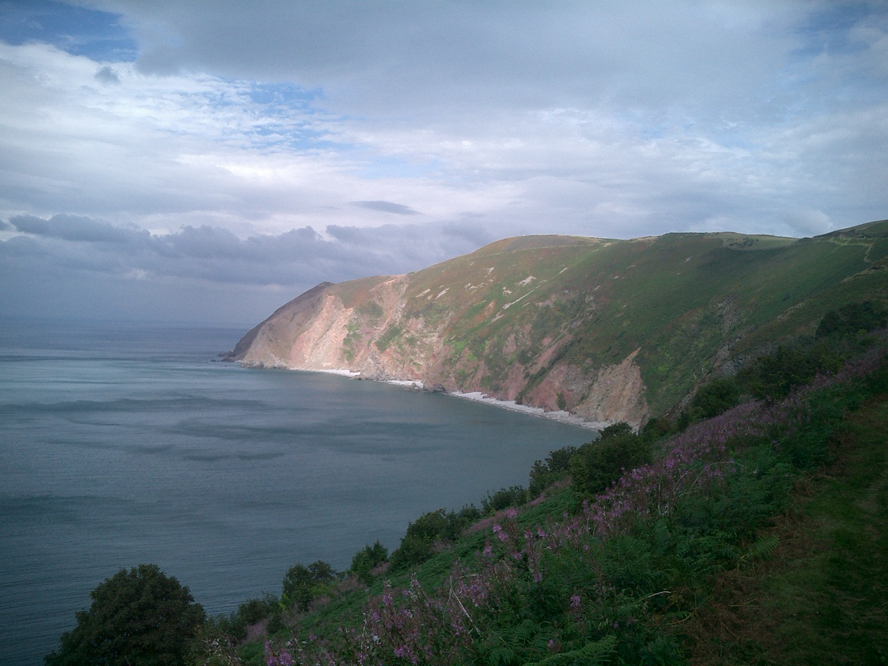
Alderford is characterized by its charming rural landscape, with rolling hills, lush green fields, and meandering streams. The village is home to a close-knit community, with a population of around 500 people. The residents primarily engage in agricultural activities, taking advantage of the fertile land surrounding the village.
The village itself features a few amenities to cater to the needs of its residents. These include a local convenience store, a primary school, and a village hall that serves as a hub for community events and activities. Additionally, there are a few traditional pubs where locals and visitors can relax and enjoy a drink or a meal.
For those who enjoy outdoor pursuits, Alderford offers ample opportunities for countryside walks, cycling, and exploring the surrounding areas. The village is also within close proximity to the Exmoor National Park, which provides further opportunities for outdoor adventures.
Overall, Alderford is a charming village that provides a tranquil and rural lifestyle for its residents. With its beautiful natural surroundings and strong sense of community, it is a place that offers a true taste of English country living.
If you have any feedback on the listing, please let us know in the comments section below.
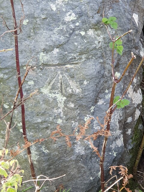
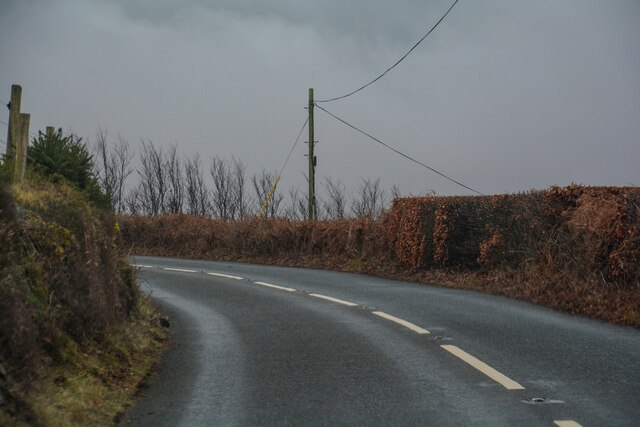
Alderford Images
Images are sourced within 2km of 51.215466/-3.7725208 or Grid Reference SS7647. Thanks to Geograph Open Source API. All images are credited.


Alderford is located at Grid Ref: SS7647 (Lat: 51.215466, Lng: -3.7725208)
Administrative County: Devon
District: North Devon
Police Authority: Devon and Cornwall
What 3 Words
///invoices.broke.toasted. Near Lynton, Devon
Nearby Locations
Related Wikis

Brendon
Brendon is a village and former civil parish, now in the parish of Brendon and Countisbury, in the North Devon district, in the county of Devon, England...
Brendon and Countisbury
Brendon and Countisbury is an English civil parish in the district of North Devon and the county of Devon. The civil parish was created on 1 April 2013...
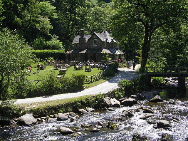
Watersmeet House
Watersmeet House is a National Trust property located some 1.8 miles (2.9 km) east of Lynmouth, in the English county of Devon. A former fishing lodge...
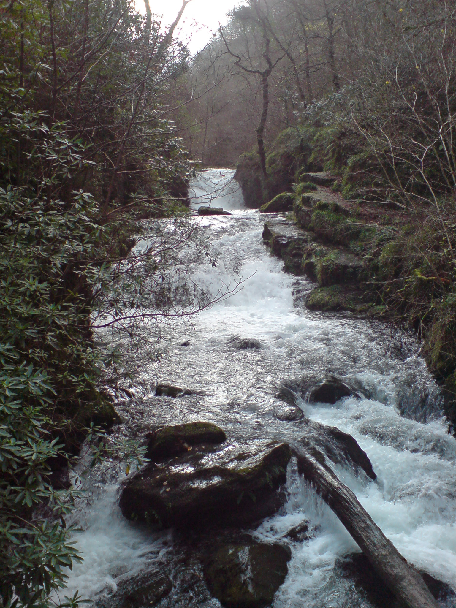
Hoar Oak Water
Hoar Oak Water is a moorland tributary of the East Lyn River in Exmoor, Somerset, England. It rises at Hoaroak Hill in the Chains geological site and flows...
Foreland Point
Foreland Point is a rocky headland in Devon near Lynmouth, and is the most northerly point along the Devon and Exmoor coast. The highest cliff is 89 metres...
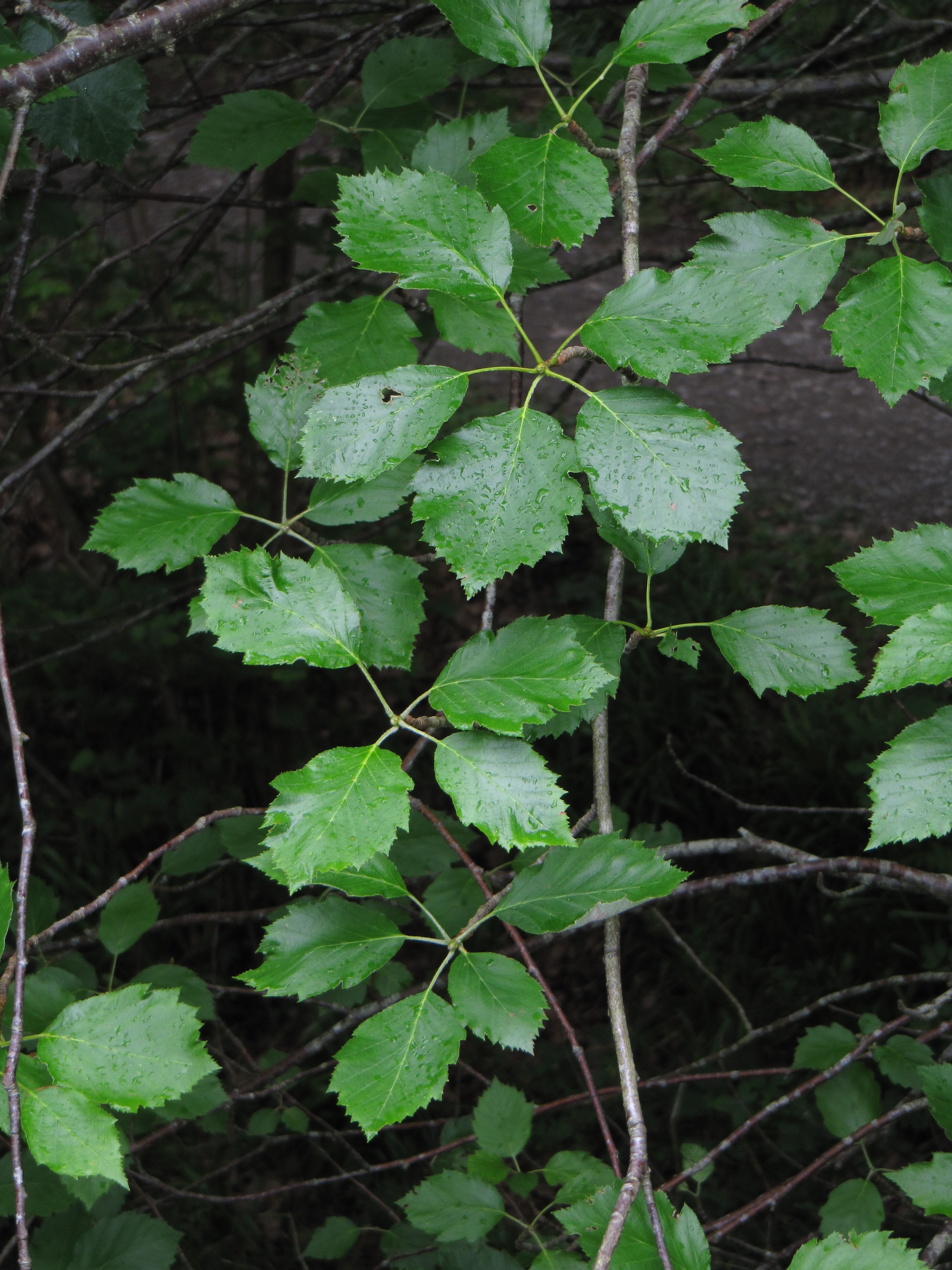
Karpatiosorbus admonitor
Karpatiosorbus admonitor, previously classified as Sorbus admonitor and also called the no parking whitebeam, is a species of whitebeam tree found in Devon...

Myrtlebury
Myrtlebury is an Iron Age enclosure or 'spur' hill fort situated close to Lynmouth in Devon, England. The fort is effectively the north east of a hillside...

Countisbury
Countisbury is a village and former civil parish, now in the parish of Brendon and Countisbury, in the North Devon district, in the county of Devon, England...
Related Videos
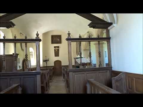
A Coastal Hiking Trip, Part X, Day 2, 'Foreland & Countisbury Church, by Sheila, July 21st 2020
Visiting Churches during my walks is the norm for me---Since childhood I have loved visiting churches and later in life I pursued ...
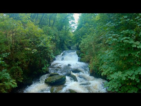
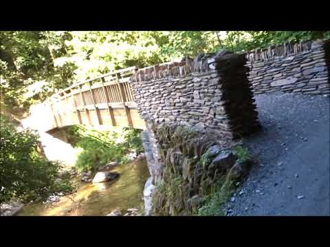
Hiking around the valleys of Watersmeet
We joined up with Mels parents for a walk down to Watersmeet near Lynmouth. Cream teas were excellent and the waterfalls ...
A Coastal Hiking Trip, Part XXXIII, Day 3,' A Great Day and A Great Stay At The End of The Visit' by
This is it folks DAY 3 finished--moments in Time & Space-----I may never return--who knows---in the past I have only ever just ...
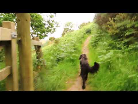
Ambient Telly - walking Winston's Path
This morning's 2 minutes of ambient telly is a speeded up walk through the woods behind Watersmeet and then out in to the open ...
Nearby Amenities
Located within 500m of 51.215466,-3.7725208Have you been to Alderford?
Leave your review of Alderford below (or comments, questions and feedback).