Alderbrook
Settlement in Sussex Wealden
England
Alderbrook
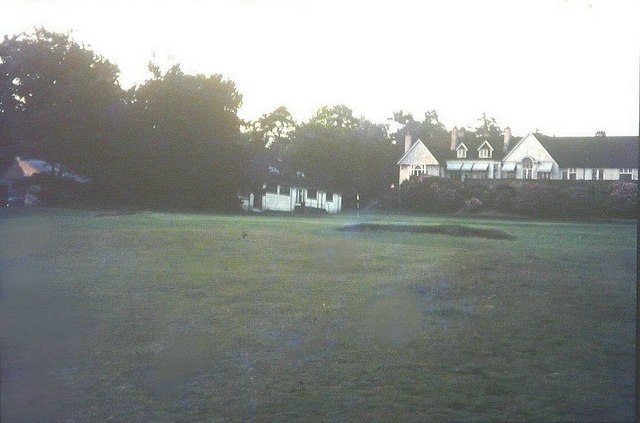
Alderbrook is a small village located in the county of Sussex, England. Situated amidst the picturesque South Downs National Park, it is known for its stunning natural beauty and tranquil surroundings. The village is nestled in a valley, surrounded by rolling hills and lush green meadows, making it an ideal destination for nature lovers and outdoor enthusiasts.
With a population of around 500 residents, Alderbrook has managed to retain its charming rural character over the years. The village features a cluster of traditional cottages and farmhouses, giving it a quaint and idyllic atmosphere. The local community is tight-knit and friendly, with a strong sense of community spirit.
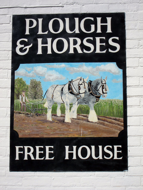
Alderbrook offers a range of amenities to cater to the needs of its residents. The village boasts a small primary school, a village hall, and a local pub, which serves as a social hub for the community. Additionally, there are several walking and cycling trails that wind through the surrounding countryside, allowing visitors to explore the area's natural splendor.
The village is also conveniently located, with easy access to nearby towns and cities. The historic town of Lewes is only a short drive away, offering a variety of shops, restaurants, and cultural attractions. The vibrant coastal city of Brighton is also within reach, providing residents with a wider range of amenities and entertainment options.
Overall, Alderbrook is a charming and peaceful village that offers a tranquil escape from the hustle and bustle of city life. With its stunning natural surroundings and strong sense of community, it is a delightful place to live or visit.
If you have any feedback on the listing, please let us know in the comments section below.
Alderbrook Images
Images are sourced within 2km of 51.041007/0.16891453 or Grid Reference TQ5229. Thanks to Geograph Open Source API. All images are credited.


Alderbrook is located at Grid Ref: TQ5229 (Lat: 51.041007, Lng: 0.16891453)
Administrative County: East Sussex
District: Wealden
Police Authority: Sussex
What 3 Words
///gracing.fallen.display. Near Crowborough, East Sussex
Nearby Locations
Related Wikis

Crowborough Athletic F.C.
Crowborough Athletic Football Club is a football club based in Crowborough, East Sussex, England. Affiliated to the Sussex County Football Association...
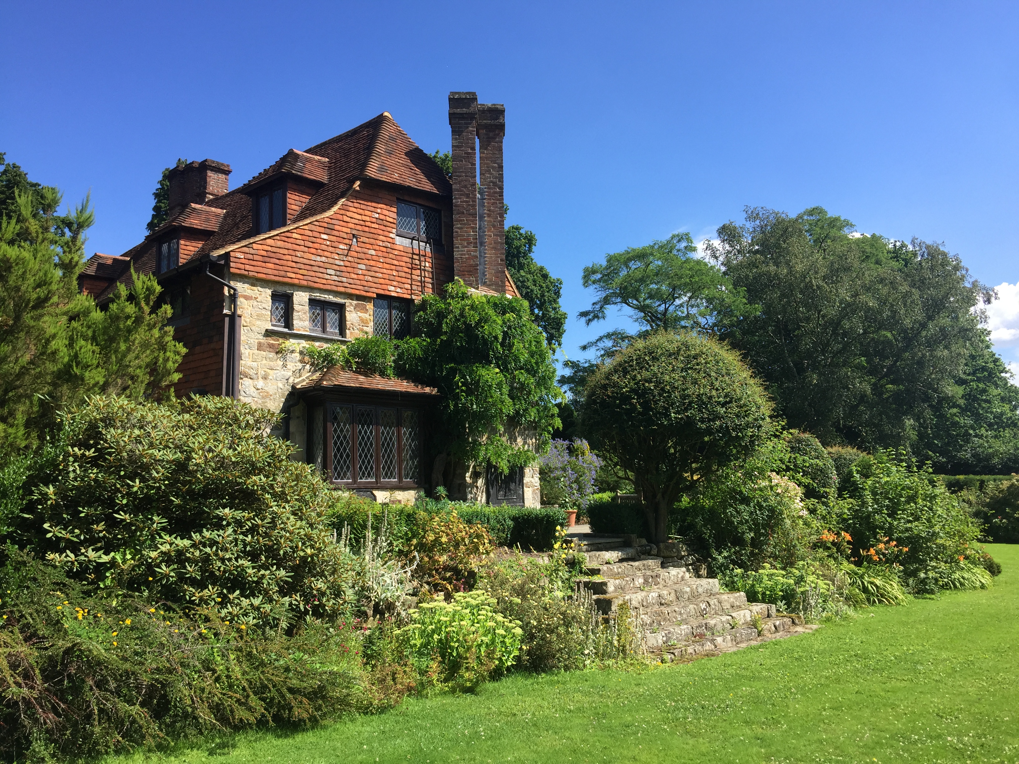
Luxford House
Luxford House is a 16th-century Grade II listed building near Crowborough, East Sussex. It is near the 11.5-acre (4.7 ha) Luxford Farm. It was used by...
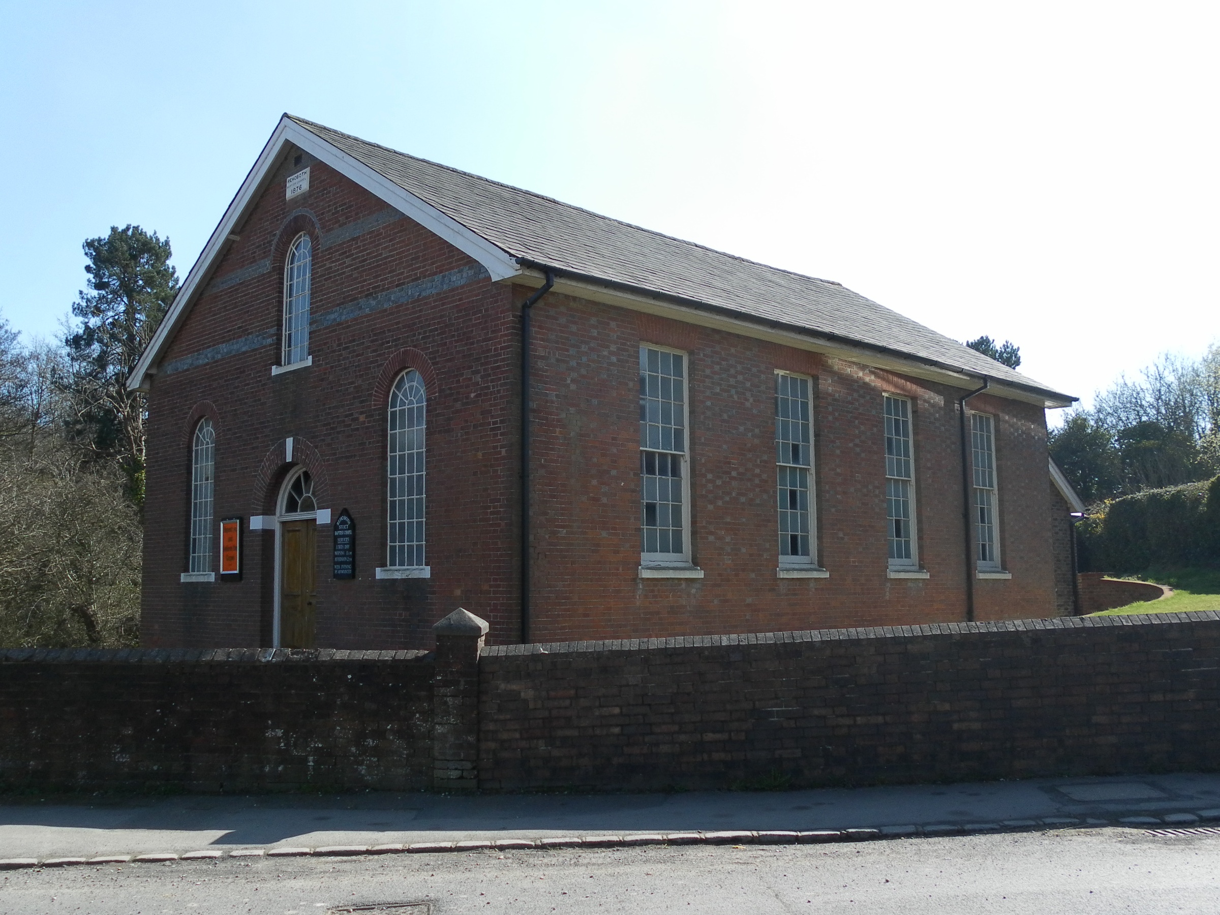
Rehoboth Chapel, Jarvis Brook
The Rehoboth Chapel is a Strict Baptist place of worship in the village of Jarvis Brook in the English county of East Sussex. The red- and blue-brick building...

Crowborough Country Park
Crowborough Country Park is a 7.3-hectare (18-acre) Local Nature Reserve on the western outskirts of Crowborough in East Sussex. It is owned and managed...

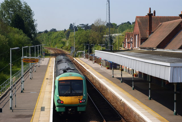
Crowborough railway station
Crowborough railway station is on the Uckfield branch of the Oxted Line in England, serving the town of Crowborough, East Sussex. It is 39 miles 11 chains...

Jarvis Brook
Jarvis Brook is a village between Crowborough and Rotherfield in the Borough of Wealden East Sussex. Crowborough Railway Station, on the Uckfield branch...
Beacon Academy
Beacon Academy (formerly Beacon Community College) is a coeducational secondary school and sixth form located in Crowborough in the English county of East...

A26 road
The A26 road is a primary route in the southeast of England, going from Maidstone to Newhaven through the counties of Kent and East Sussex. The road is...
Related Videos

When Things Perfectly Align and ASMR Followers You On Holiday 🎧😌
Just came back from a lovely break in Sussex in the uk, this cottage was full to the brim with quirky objects including this amazing ...

Father’s Day celebration 🎉🍻🙋🏻♂️
Celebrating Father's Day with fambam.

2021.09.09 Crowborough na piechotę
2021.09.09 Crowborough na piechotę.

Fermor's BIG raffle prizes
This isn't your ordinary School Raffle. This is a MEGA prize raffle giveaway, with huge cash prizes - full list below Open for ...
Nearby Amenities
Located within 500m of 51.041007,0.16891453Have you been to Alderbrook?
Leave your review of Alderbrook below (or comments, questions and feedback).