Alby

Settlement in Norfolk North Norfolk

England

Alby

Pack Lane A footpath between single rows of trees and bushes, not really hedgerows, heading for Aldborough from near Alby Church in TG2033. There was Dog's Mercury in the ground flora, indicating ancient woodland in the past.
Pack Lane Credit: Robin Stott

Alby is a small village located in the county of Norfolk, England. Situated roughly 16 kilometers north of the market town of Aylsham, it falls within the district of North Norfolk. The village is nestled amidst picturesque countryside, surrounded by rolling fields and woodland.

Alby is known for its quaint and charming atmosphere, offering a peaceful retreat from the hustle and bustle of city life. The village is home to a close-knit community, with a population of around 200 residents. The local economy is largely centered around agriculture, with agriculture-related businesses and farms dotting the area.

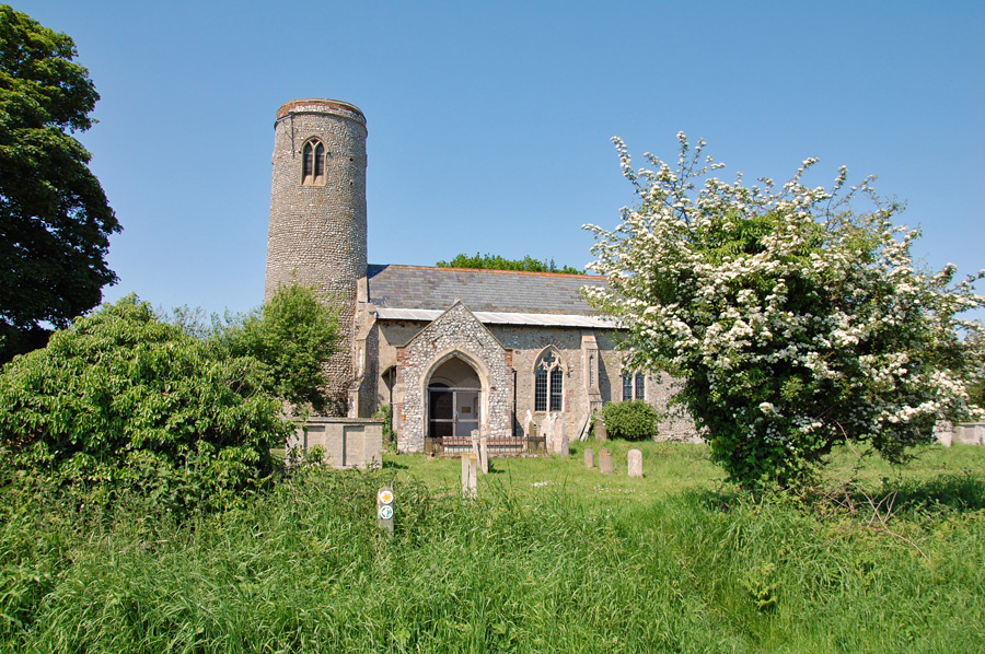
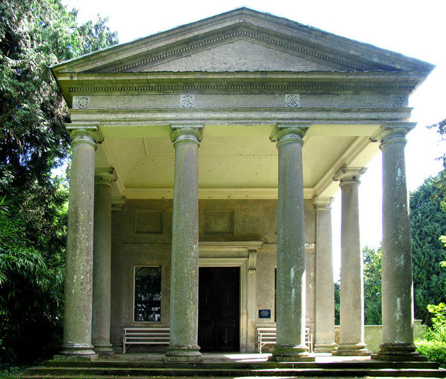
One of the notable landmarks in Alby is the All Saints Church, a beautiful medieval church that dates back to the 14th century. The church boasts stunning stained glass windows and intricate stone carvings, attracting visitors interested in history and architecture.

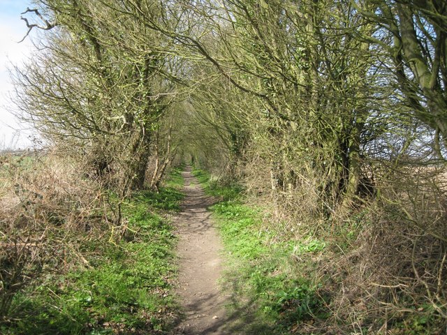
Nature enthusiasts will find Alby to be a haven for wildlife, with its idyllic surroundings providing a habitat for various species. The village is also within close proximity to the Norfolk Coast Area of Outstanding Natural Beauty, offering opportunities for outdoor activities such as walking, cycling, and birdwatching.

Although Alby may be small in size, it exudes a charming and tranquil ambiance that appeals to those seeking a slower pace of life and a connection to nature. Its rich history, natural beauty, and tight-knit community make it a hidden gem within the Norfolk countryside.

If you have any feedback on the listing, please let us know in the comments section below.
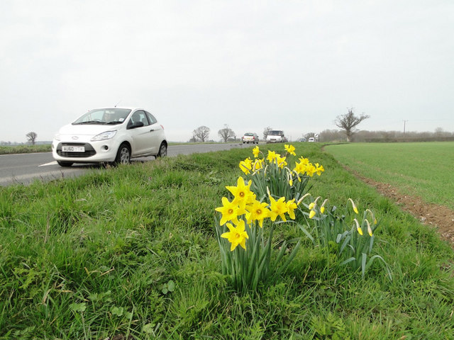
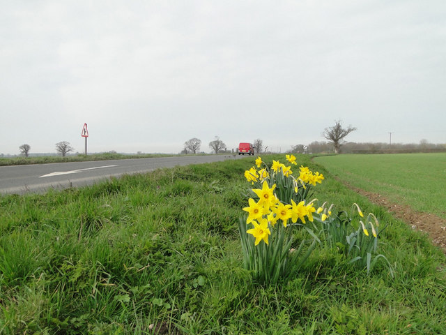
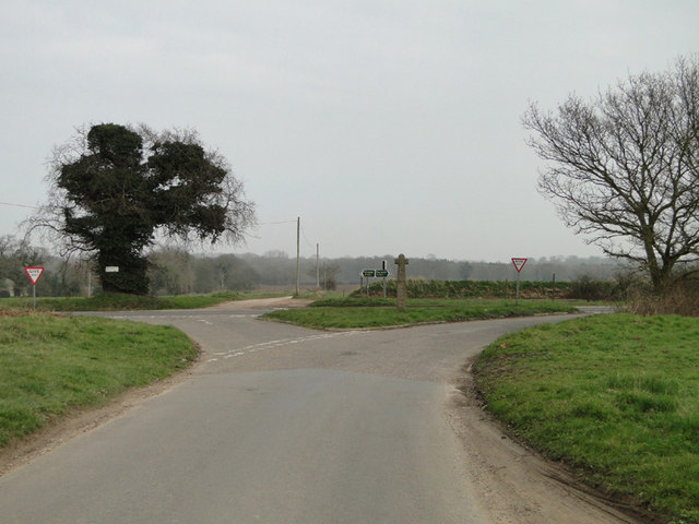
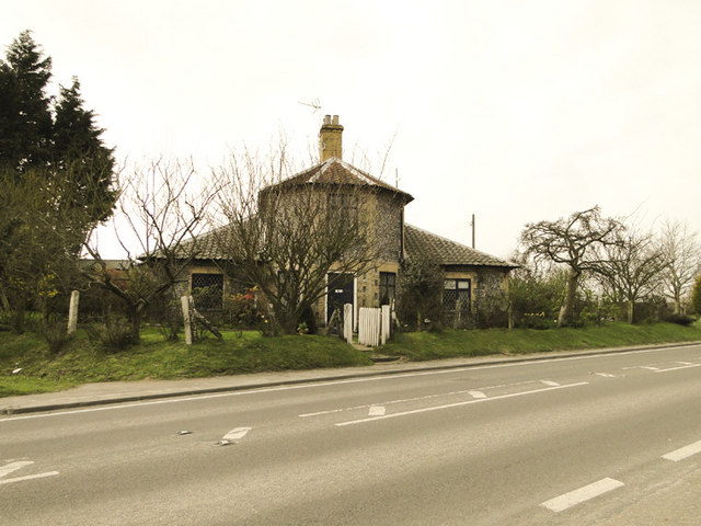
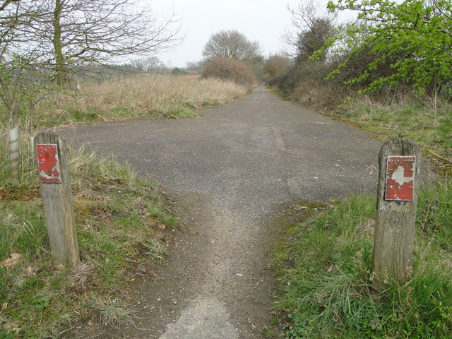
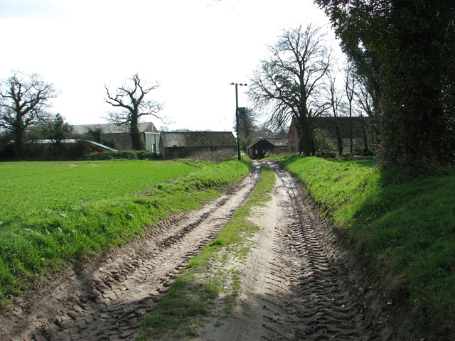
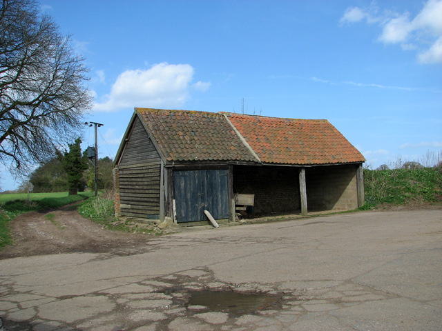
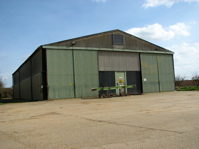
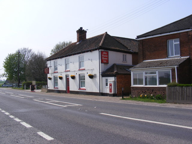
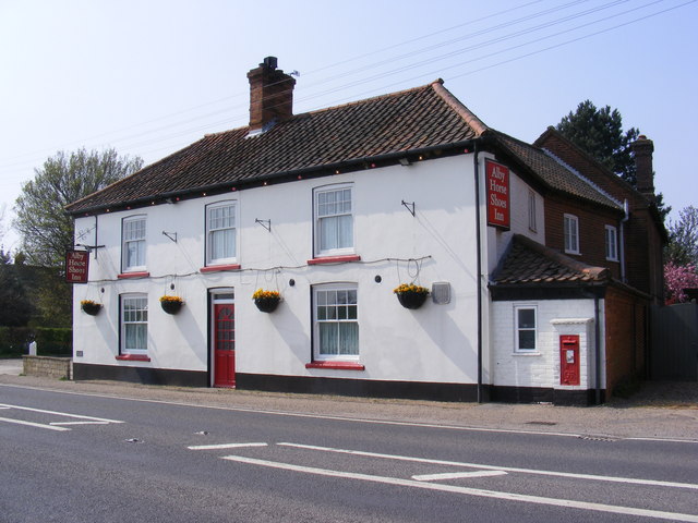
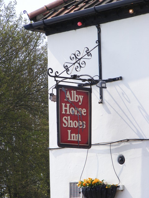
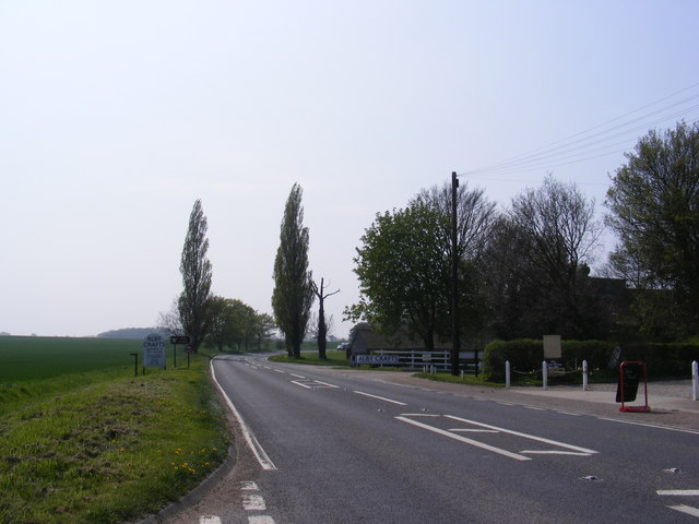
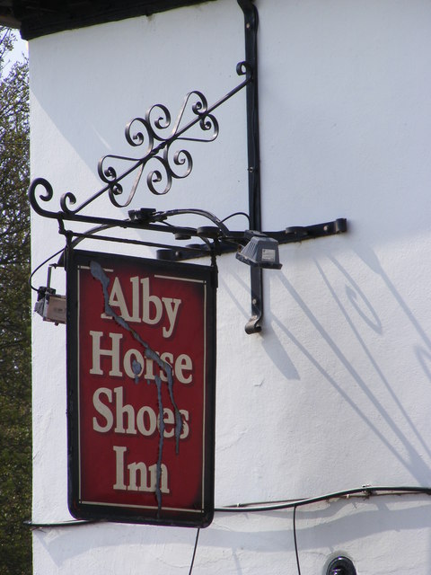
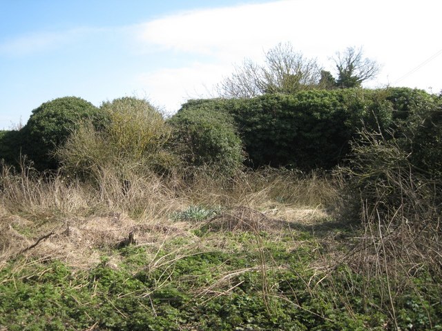
Alby Images

Images are sourced within 2km of 52.849584/1.290527 or Grid Reference TG2133. Thanks to Geograph Open Source API. All images are credited.

Pack Lane A footpath between single rows of trees and bushes, not really hedgerows, heading for Aldborough from near Alby Church in TG2033. There was Dog's Mercury in the ground flora, indicating ancient woodland in the past.
Pack Lane
A footpath between single rows of trees and bushes, not really hedgerows, heading for Aldborough from near Alby Church in TG2033. There was Dog's Mercury in the ground flora, indicating ancient woodland in the past.
Bus stop shelters on the A140 at Alby Although these are normally called bus shelters, they do not shelter buses. They are people shelters at bus stops.
Bus stop shelters on the A140 at Alby
Although these are normally called bus shelters, they do not shelter buses. They are people shelters at bus stops.
GR wallbox at Alby on the A140 Postbox number NR11 1148 Alby Horseshoes.
GR wallbox at Alby on the A140
Postbox number NR11 1148 Alby Horseshoes.
Information boards on the A140 near gated entrance
Daffodils beside the A140 at Alby
Hanworth cross at the junction A140 junction These crosses predate the building of churches. In the 6th and 7th centuries, wooden crosses marked the spots where priests or monks preached to the local community. These were later replaced with stone crosses such as this one but became redundant to a great extent when the churches were built and were eventually phased out altogether. Many villages still have the remains of the old preaching crosses even if it's only a stump.
Hanworth cross at the junction A140 junction
These crosses predate the building of churches. In the 6th and 7th centuries, wooden crosses marked the spots where priests or monks preached to the local community. These were later replaced with stone crosses such as this one but became redundant to a great extent when the churches were built and were eventually phased out altogether. Many villages still have the remains of the old preaching crosses even if it's only a stump.
Unusual flint house on the A140 at Alby
Once a road, now a cycleway and footpath When the A140 bypass was built this road became redundant and has been turned into a cycleway and footpath. The old road markings can still be seen.
Once a road, now a cycleway and footpath
When the A140 bypass was built this road became redundant and has been turned into a cycleway and footpath. The old road markings can still be seen.
Approaching Manor Farm, Hanworth The track serves as a public footpath, leading from St Bartholomew's church > <a title="https://www.geograph.org.uk/photo/1545521" href="https://www.geograph.org.uk/photo/1545521">Link</a> to Manor Farm, further to the south.
Approaching Manor Farm, Hanworth
The track serves as a public footpath, leading from St Bartholomew's church > Link to Manor Farm, further to the south.
Shed at Manor Farm, Hanworth
Big shed at Manor Farm, Hanworth
Alby Horse Shoes Inn On the A140 Norwich Road
Alby Horse Shoes Inn
On the A140 Norwich Road
Alby Horse Shoes Inn On the A140 Norwich Road
Alby Horse Shoes Inn
On the A140 Norwich Road
Alby Horse Shoes Inn sign On the A140 Norwich Road
Alby Horse Shoes Inn sign
On the A140 Norwich Road
A140 Norwich Road Looking towards Norwich near Alby Horse Shoes Inn
A140 Norwich Road
Looking towards Norwich near Alby Horse Shoes Inn
Alby Horse Shoes Inn sign On the A140 Norwich Road
Alby Horse Shoes Inn sign
On the A140 Norwich Road
Site of Church Farm buildings Successive OS maps, including the current 1:25,000, show farm buildings here. In 1950 there were many small fields but from 1971 there are a few large fields. It has to be assumed that farms and fields were amalgamated and that some buildings became redundant; in this case, ruinous. The farmhouse to the north, extended, is a private property called Church Farm.
Site of Church Farm buildings
Successive OS maps, including the current 1:25,000, show farm buildings here. In 1950 there were many small fields but from 1971 there are a few large fields. It has to be assumed that farms and fields were amalgamated and that some buildings became redundant; in this case, ruinous. The farmhouse to the north, extended, is a private property called Church Farm.
Show me another place!

Alby is located at Grid Ref: TG2133 (Lat: 52.849584, Lng: 1.290527)

Administrative County: Norfolk

District: North Norfolk

Police Authority: Norfolk

What 3 Words

///rival.glassware.barstool. Near Aylsham, Norfolk

Related Wikis

Alby with Thwaite

Alby with Thwaite is a civil parish in the English county of Norfolk. The parish straddles the A140 some 10 km south of Cromer and 30 km north of Norwich...

Suffield, Norfolk

Suffield is a village and a civil parish in the English county of Norfolk. The village is 7.1 miles (11.4 km) south of Cromer, 18.4 miles (29.6 km) north...

Gunton Park Lake

Gunton Park Lake is a 18.3-hectare (45-acre) biological Site of Special Scientific Interest by Gunton Hall, north-west of North Walsham in Norfolk. It...
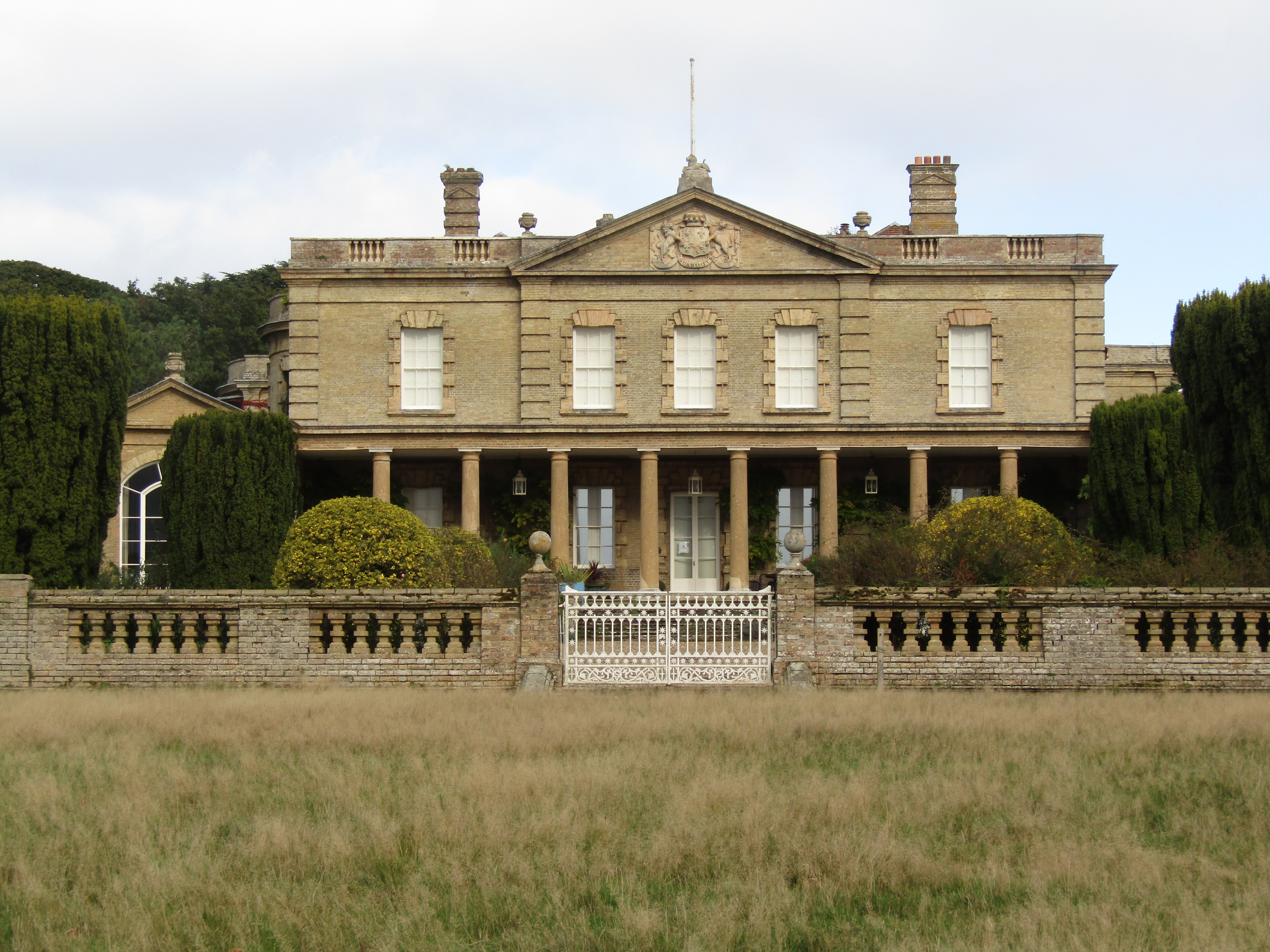
Gunton Hall

Gunton Hall, Gunton Park, is a large country house near Suffield in Norfolk. == History == The estate belonged to the Gunton family in the 12th century...

Colby, Norfolk

Colby is a village and a civil parish in the English county of Norfolk. The village is 8.6 miles (13.8 km) south of Cromer, 16.8 miles (27.0 km) north...

St Andrew's Church, Gunton

St Andrew's Church is a redundant Anglican church adjacent to Gunton Hall, in the parish of Hanworth, Norfolk, England. It is recorded in the National...

Hagon Beck

Hagon Beck is a minor watercourse which rises in the north of the English county of Norfolk. It falls into Great Lake in Gunton Park, which in turn feeds...

Erpingham

Erpingham is a village and civil parish in the English county of Norfolk. The village is located 3.1 miles (5.0 km) north of Aylsham and 15 miles (24 km...

Have you been to Alby?

Leave your review of Alby below (or comments, questions and feedback).