Albury

Settlement in Oxfordshire South Oxfordshire

England

Albury

Road from Albury The sole access road for Albury, heading towards Tiddington.
Road from Albury Credit: Bill Boaden

Albury is a picturesque village located in the county of Oxfordshire, England. Situated approximately 8 miles northeast of Oxford, it is nestled in the heart of the rolling countryside, offering stunning views and a tranquil atmosphere. The village is part of the Cherwell district and falls within the civil parish of Wheatley.

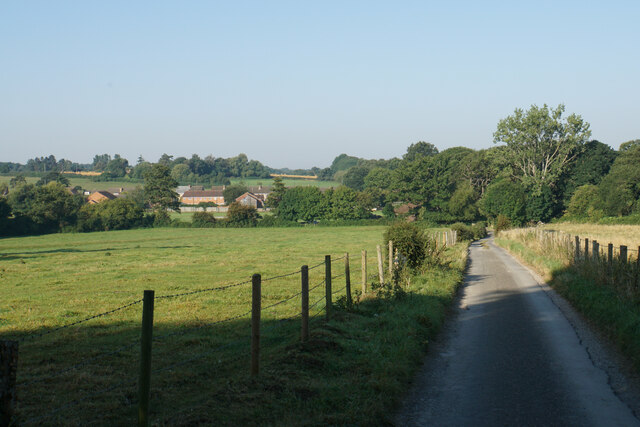
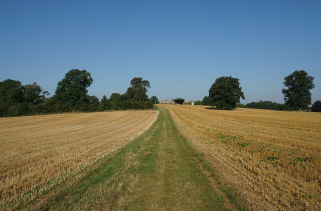
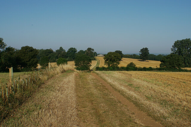
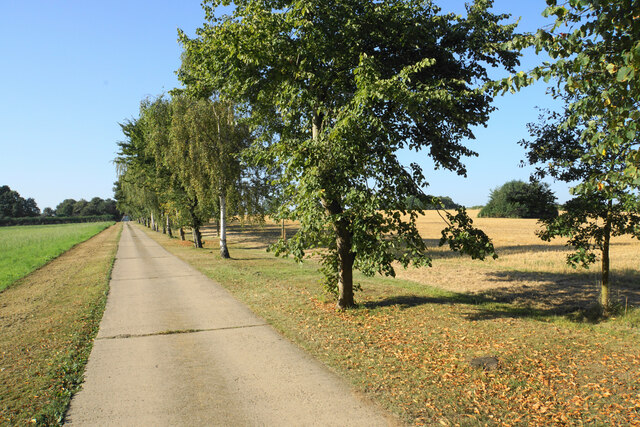
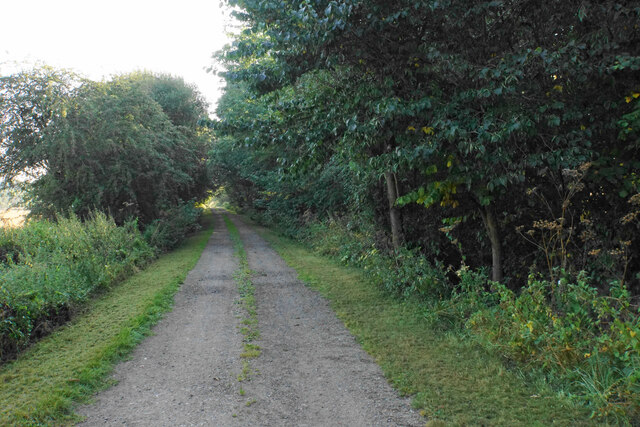
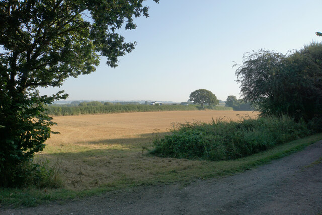
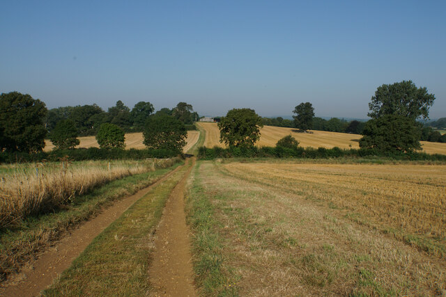
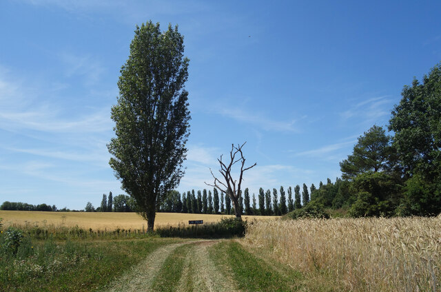
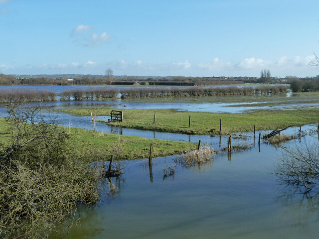
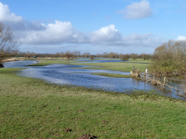
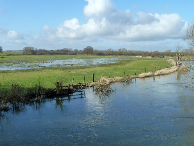
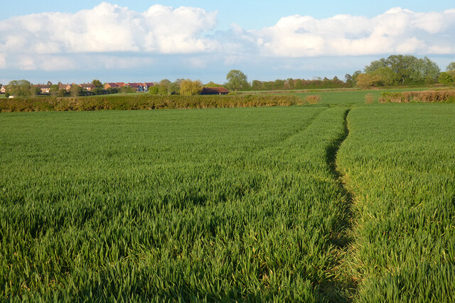
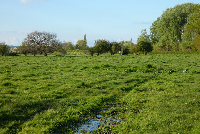
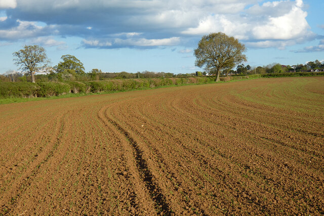
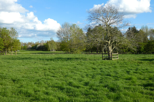
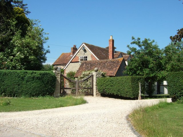
Albury is a small, close-knit community with a population of around 400 residents. It is characterized by its charming thatched-roof cottages, historic buildings, and well-preserved architecture, giving it a quintessential English village feel. The village is surrounded by lush green fields and meadows, providing ample opportunities for outdoor activities such as walking, cycling, and picnicking.

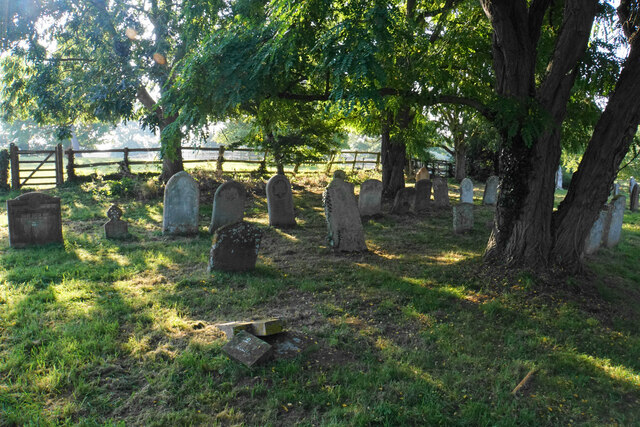
One of the notable landmarks in Albury is St. Helen's Church, a Grade II listed building that dates back to the 12th century. The church features a Norman doorway and a beautiful stained glass window. It serves as a focal point for the community, hosting regular services and community events.

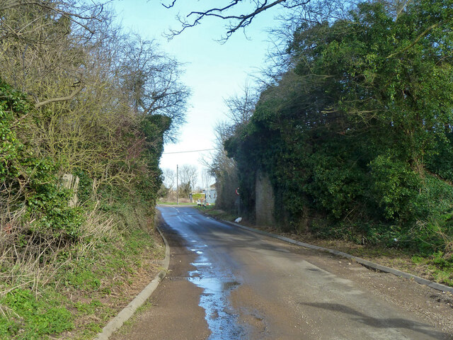
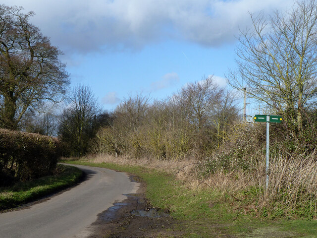
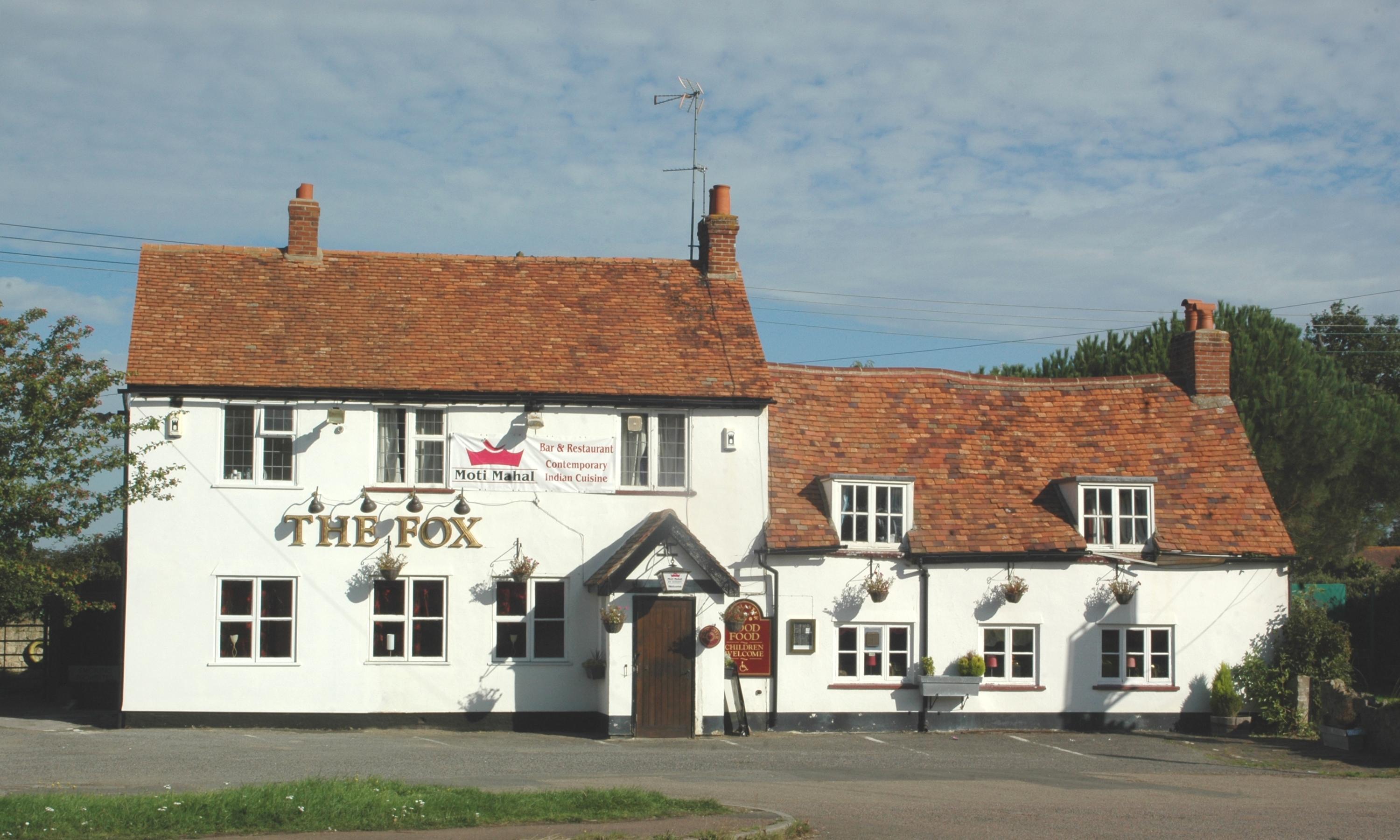
Albury is conveniently located near Wheatley, a larger village that offers a range of amenities, including shops, schools, and recreational facilities. It also benefits from excellent transport links, with easy access to the A40 and A418, connecting it to Oxford and other nearby towns.

Overall, Albury is a hidden gem in Oxfordshire, offering a peaceful retreat, stunning countryside views, and a strong sense of community. It is a place where residents can enjoy the beauty of rural England while still maintaining close proximity to larger towns and cities.

If you have any feedback on the listing, please let us know in the comments section below.

Albury Images

Images are sourced within 2km of 51.740837/-1.0524754 or Grid Reference SP6505. Thanks to Geograph Open Source API. All images are credited.

Road from Albury The sole access road for Albury, heading towards Tiddington.
Road from Albury
The sole access road for Albury, heading towards Tiddington.
Churchyard of St Helen's, Albury A quiet part round the back of the church.
Churchyard of St Helen's, Albury
A quiet part round the back of the church.
The Oxfordshire Way near Albury Albury is at the top of the rise.
The Oxfordshire Way near Albury
Albury is at the top of the rise.
The Oxfordshire Way near Albury Following the top of a small ridge.
The Oxfordshire Way near Albury
Following the top of a small ridge.
Driveway to Home Farm Part of the Thame Valley Way.
Driveway to Home Farm
Part of the Thame Valley Way.
Thame Valley Way near Rycote This part uses the track of a former railway.
Thame Valley Way near Rycote
This part uses the track of a former railway.
Harvested field by the Thame Valley Walk On the other side of the far hedge is the A418 which is not pleasant to walk along.
Harvested field by the Thame Valley Walk
On the other side of the far hedge is the A418 which is not pleasant to walk along.
The Oxfordshire Way near Albury Following a ridge towards Albury which is on top of the next rise.
The Oxfordshire Way near Albury
Following a ridge towards Albury which is on top of the next rise.
Poplars at Sandy Lane Farm
Old railway bridge, Sandy Lane, Tiddington The Princes Risborough - Oxford line, which closed here in 1968.
Old railway bridge, Sandy Lane, Tiddington
The Princes Risborough - Oxford line, which closed here in 1968.
River Thame in flood, 2014 Upstream of Ickford Bridge.
River Thame in flood, 2014
Upstream of Ickford Bridge.
River Thame in flood, 2014 Downstream of Ickford Bridge.
River Thame in flood, 2014
Downstream of Ickford Bridge.
Flooded fields by River Thame, 2014 Downstream of Ickford Bridge.
Flooded fields by River Thame, 2014
Downstream of Ickford Bridge.
Lane from Tiddington to Waterstock
Farmland, Shabbington A footpath to the south-west of the village has reached drier arable land, a welcome change from very wet pasture on slightly lower ground to the west.
Farmland, Shabbington
A footpath to the south-west of the village has reached drier arable land, a welcome change from very wet pasture on slightly lower ground to the west.
Pasture, Tiddington Damp grassland on the Thame's floodplain is crossed by a footpath between Waterstock and Ickford.
Pasture, Tiddington
Damp grassland on the Thame's floodplain is crossed by a footpath between Waterstock and Ickford.
Farmland, Waterstock Buildings on the edge of Tiddington are glimpsed over a recently germinated cereal crop.
Farmland, Waterstock
Buildings on the edge of Tiddington are glimpsed over a recently germinated cereal crop.
Pasture, Waterstock Beyond this field is the northern end of the golf course.
Pasture, Waterstock
Beyond this field is the northern end of the golf course.
Show me another place!

Albury is located at Grid Ref: SP6505 (Lat: 51.740837, Lng: -1.0524754)

Administrative County: Oxfordshire

District: South Oxfordshire

Police Authority: Thames Valley

What 3 Words

///balanced.daunted.ashes. Near Long Crendon, Buckinghamshire

Nearby Locations

Albury

Related Wikis

Albury, Oxfordshire

Albury is a village in the civil parish of Tiddington-with-Albury, about 5 miles (8 km) west of Thame in Oxfordshire. == Manor == Its toponym is derived...

Tiddington-with-Albury

Tiddington-with-Albury is a civil parish in South Oxfordshire. It includes the village of Albury (Ordnance Survey grid reference SP655051), the larger...

Tiddington, Oxfordshire

Tiddington is a village in the civil parish of Tiddington-with-Albury, in the South Oxfordshire district, in Oxfordshire, England. It is about 3+1⁄2 miles...

Tiddington railway station

Tiddington railway station was on the Wycombe Railway and served the village of Tiddington, Oxfordshire. On 24 October 1864 the Wycombe Railway opened...

Draycot, Oxfordshire

Draycot is a hamlet on the River Thame, in the civil parish of Tiddington-with-Albury, in the South Oxfordshire district, in the county of Oxfordshire...

Rycote

Rycote is a hamlet 2.5 miles (4.0 km) southwest of Thame in Oxfordshire. The Oxfordshire Way long-distance path passes through. == Saint Michael's chapel... ==

Rycote House

Rycote House (also Rycote Manor) the manor of Rycote, Oxfordshire, England, was a Tudor (and later Georgian) country house. First built in the early 16th...

Waterstock

Waterstock is a village and civil parish on the River Thame about 4.5 miles (7 km) west of the market town of Thame in Oxfordshire. The parish is bounded...

Nearby Amenities

Located within 500m of 51.740837,-1.0524754
Ele NPE: 233 ft
Fixme: ?confirm?
Note: indistinct
Lat/Long: 51.7430409/-1.0517791
Albury
Fixme: ?confirm?; ?house?
Place: hamlet
Wikidata: Q4712849
Lat/Long: 51.7412368/-1.0517721
Barrier: stile
Lat/Long: 51.7383677/-1.0583308
Barrier: stile
Lat/Long: 51.740924/-1.052036
Barrier: stile
Lat/Long: 51.7409523/-1.0534418
Rest Area
Toilets: no
Lat/Long: 51.7426283/-1.0461393
Post Box
Post Box Design: hovis
Post Box Mounting: wooden_post
Post Box Type: lamp
Ref: OX9 370
Royal Cypher: EVIIR
Royal Cypher Wikidata: Q33102324
Lat/Long: 51.7408272/-1.052322
The data included in this document is from www.openstreetmap.org. The data is made available under ODbL.

Have you been to Albury?

Leave your review of Albury below (or comments, questions and feedback).