Àird

Settlement in Ross-shire

Scotland

Àird

Ship mooring point An anchorage for ocean going ships.
Ship mooring point Credit: Mick Garratt

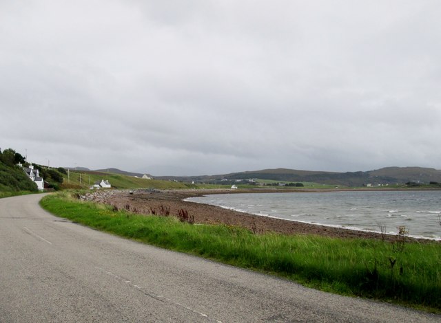
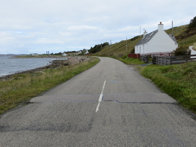
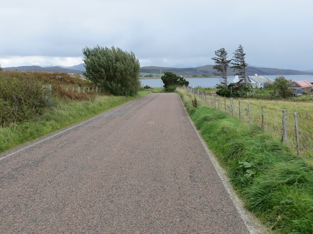
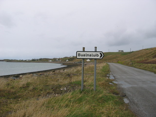
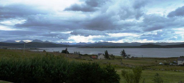
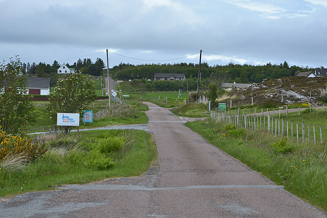
Àird is a small village located in the county of Ross-shire, Scotland. Situated on the east coast of the Northern Highlands, it lies on the banks of the Cromarty Firth, offering stunning views of the surrounding countryside and the waters of the firth.

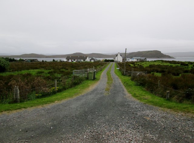
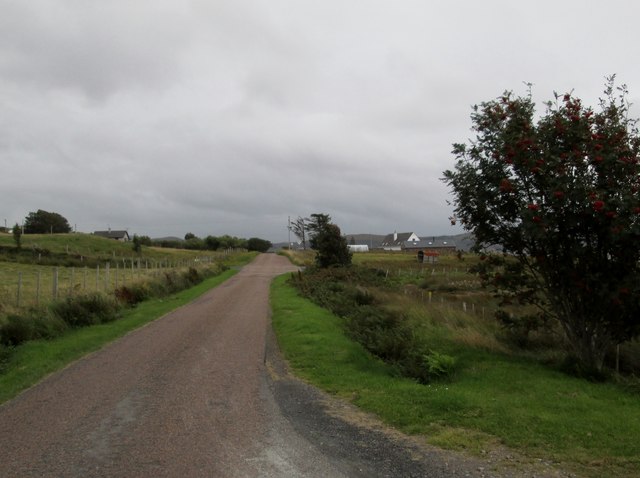
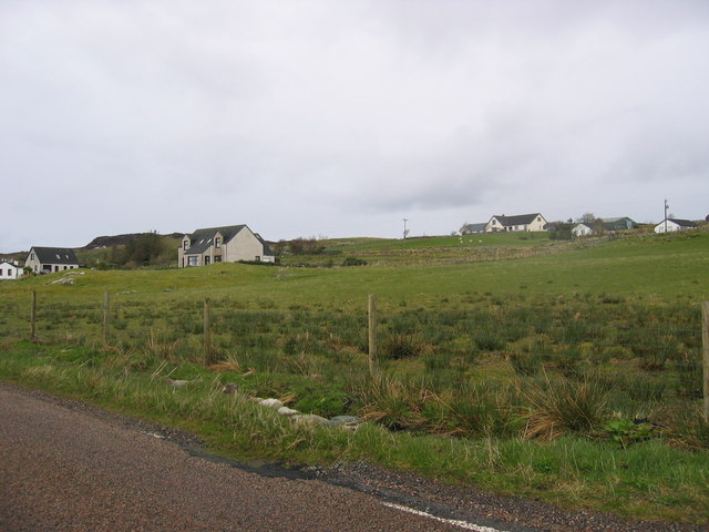
The village is known for its picturesque setting, with rolling hills, green fields, and forests surrounding the area. It is a peaceful and tranquil place, perfect for those seeking a quiet retreat from the hustle and bustle of city life.

Àird has a small and close-knit community, with a population of approximately 500 residents. The village is primarily residential, with a few local businesses and amenities, such as a village shop and a pub. However, for more extensive shopping and entertainment options, residents often travel to nearby towns such as Dingwall or Inverness.

The area around Àird is rich in natural beauty and offers plenty of opportunities for outdoor activities. The Cromarty Firth is a popular spot for fishing enthusiasts, and the nearby hills and forests provide excellent options for hiking, cycling, and wildlife spotting.

Overall, Àird is a charming village that offers a peaceful and idyllic lifestyle. Its stunning natural surroundings, close community, and proximity to outdoor activities make it an attractive place to live for those who appreciate the beauty of the Scottish Highlands.

If you have any feedback on the listing, please let us know in the comments section below.
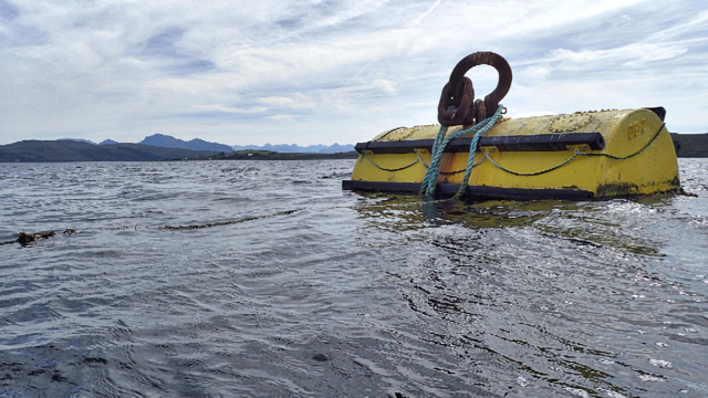
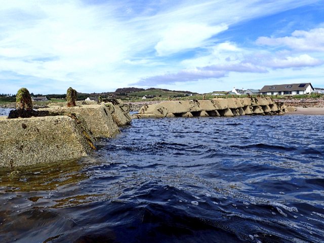
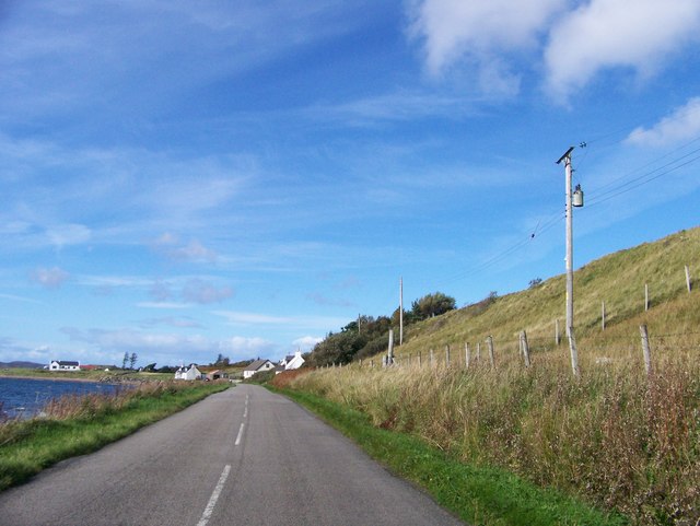
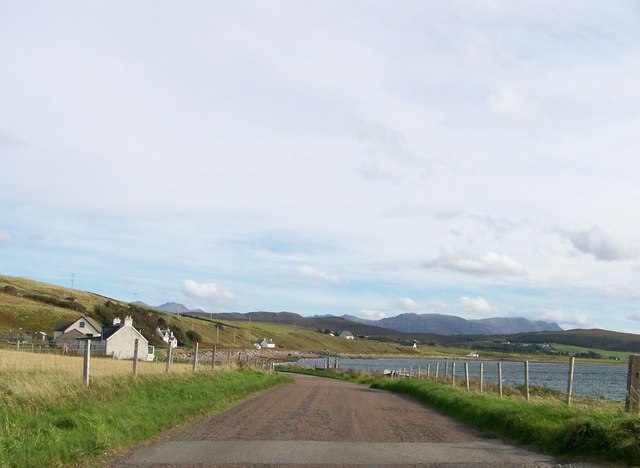
Àird Images

Images are sourced within 2km of 57.841365/-5.5957768 or Grid Reference NG8689. Thanks to Geograph Open Source API. All images are credited.

Ship mooring point An anchorage for ocean going ships.
Ship mooring point
An anchorage for ocean going ships.
Slipway at Ormiscaig Recycling the concrete anchor points used to hold the submarine netting across Loch Ewe.
Slipway at Ormiscaig
Recycling the concrete anchor points used to hold the submarine netting across Loch Ewe.
Shore road near Ormiscaig
Leaving Ormiscaig heading to Aultbea
Road  following  loch  side  toward  Aultbea
Road following loch side toward Aultbea
Track  to  crofts  in  Ormiscaig The water beyond is Loch Ewe and the land beyond is the Isle of Ewe
Track to crofts in Ormiscaig
The water beyond is Loch Ewe and the land beyond is the Isle of Ewe
Minor  road  passing  through  Ormiscaig One of a number of crofting community's along this road
Minor road passing through Ormiscaig
One of a number of crofting community's along this road
Road beside Loch Ewe entering Ormiscaig Looking north-westward.
Road beside Loch Ewe entering Ormiscaig
Looking north-westward.
Road near Ormiscaig Looking south-eastward.
Road near Ormiscaig
Looking south-eastward.
Ormiscaig Crofting community.
Ormiscaig
Crofting community.
Coastline by Bualnaluib Small coastal crofting community.
Coastline by Bualnaluib
Small coastal crofting community.
Crofting township of Ormiscaig
Sea shore near Ormiscaig With some of the houses of Ormiscaig beyond.
Sea shore near Ormiscaig
With some of the houses of Ormiscaig beyond.
Ormiscaig houses
Ormiscaig houses
Main road through Ormiscaig A typically laid out crofting community.
Main road through Ormiscaig
A typically laid out crofting community.
Ship at the fuelling jetty, Loch Ewe A ship at the NATO refuelling jetty with the Isle of Ewe beyond.
Ship at the fuelling jetty, Loch Ewe
A ship at the NATO refuelling jetty with the Isle of Ewe beyond.
Russian Arctic Convoy Exhibition, Aultbea A comprehensive collection of photographs, memorabilia and artefacts from the WW2 supply convoys that assembled in Loch Ewe prior to their journey to northern Russian ports. See also <a href="https://www.geograph.org.uk/photo/6960054">NG8787 : Loch Ewe viewpoint</a>.
Russian Arctic Convoy Exhibition, Aultbea
A comprehensive collection of photographs, memorabilia and artefacts from the WW2 supply convoys that assembled in Loch Ewe prior to their journey to northern Russian ports. See also NG8787 : Loch Ewe viewpoint.
Aultbea and Loch Ewe
Show me another place!

Àird is located at Grid Ref: NG8689 (Lat: 57.841365, Lng: -5.5957768)

Unitary Authority: Highland

Police Authority: Highlands and Islands

What 3 Words

///headboard.chins.butternut. Near Gairloch, Highland

Related Wikis

Aultbea

Aultbea (Gaelic: An t-Allt Beithe) is a small coastal fishing village in the North-West Highlands of Scotland. It is situated on the southeast shore of...

Loch Ewe

Loch Ewe (Scottish Gaelic: Loch Iùbh) is a sea loch in the region of Wester Ross in the Northwest Highlands of Scotland. The shores are inhabited by a...

Isle of Ewe

The Isle of Ewe (Scottish Gaelic: Eilean Iùbh) is a small Scottish island on the west coast of Ross and Cromarty. The island is inhabited by a single family...

Loch Ewe distillery

Loch Ewe distillery in Drumchork near Aultbea in the Scottish Highlands was the smallest legally operated distillery in Scotland. It was set up in 2005...

Nearby Amenities

Located within 500m of 57.841365,-5.5957768
Source: PGS
Lat/Long: 57.8436857/-5.5996995
Source: PGS
Lat/Long: 57.843249/-5.6001006
Source: PGS
Lat/Long: 57.8427629/-5.6005775
Source: PGS
Lat/Long: 57.8420812/-5.6011477
Source: PGS
Lat/Long: 57.841525/-5.6009996
Source: PGS
Lat/Long: 57.8411424/-5.600421
Source: PGS
Lat/Long: 57.840963/-5.5999928
Source: PGS
Lat/Long: 57.8407441/-5.5994938
Source: PGS
Lat/Long: 57.840682/-5.5991168
Source: PGS
Lat/Long: 57.8406279/-5.5988164
Source: PGS
Lat/Long: 57.8403624/-5.598233
Source: PGS
Lat/Long: 57.8401012/-5.5975769
Source: PGS
Lat/Long: 57.8398766/-5.597311
Source: PGS
Lat/Long: 57.8393513/-5.5970578
Source: PGS
Lat/Long: 57.8391622/-5.5971633
Source: PGS
Lat/Long: 57.8390596/-5.5967933
Source: PGS
Lat/Long: 57.8387431/-5.5965695
Source: PGS
Lat/Long: 57.8384074/-5.5962527
Source: PGS
Lat/Long: 57.8381965/-5.595845
Source: PGS
Lat/Long: 57.8381561/-5.5953026
Source: PGS
Lat/Long: 57.8382266/-5.5948659
Source: PGS
Lat/Long: 57.8382412/-5.5932534
Source: PGS
Lat/Long: 57.8393893/-5.5943576
Source: PGS
Lat/Long: 57.8398164/-5.5951651
Source: PGS
Lat/Long: 57.8400614/-5.5952758
Source: PGS
Lat/Long: 57.8410084/-5.5954266
Source: PGS
Lat/Long: 57.8413817/-5.5943067
Source: PGS
Lat/Long: 57.8414261/-5.5937922
Source: PGS
Lat/Long: 57.8413028/-5.592136
Source: PGS
Lat/Long: 57.8409786/-5.5893618
Source: PGS
Lat/Long: 57.8406922/-5.5883411
Aultbea WWII Heavy Anti-Aircraft Gun Battery
Historic: ruins
Opening Hours: 24/7
Lat/Long: 57.8426588/-5.5998584
Bus Stop
Bus Shelter
Local Ref: AT
Naptan AtcoCode: 6700712386
Naptan Bearing: SE
Naptan CommonName: Bus Shelter
Naptan Indicator: at
Naptan Landmark: Telephone Box
Naptan NaptanCode: 45325268
Naptan Street: Pier Road
Naptan Verified: no
Source: naptan_import
Lat/Long: 57.8408784/-5.5955711
Seamark Light Category: vertical
Seamark Light Character: F
Seamark Light Colour: green
Seamark Light Height: 8
Seamark Light Multiple: 2
Seamark Light Range: 3
Seamark Light Reference: A 3887.5
Seamark Type: light_minor
Source: US NGA Pub. 114. 2011-05-26.
Lat/Long: 57.8382167/-5.5934167
Leisure: slipway
Lat/Long: 57.8391449/-5.5974062
Parking
Parking: surface
Lat/Long: 57.8391812/-5.5958216
Telephone
Booth: K6
Covered: booth
Phone: +44 1445 731255
Source: survey
Lat/Long: 57.8408323/-5.5959084
Aultbea Stores
Opening Hours: Mo-Sa 09:00-17:00
Shop: convenience
Lat/Long: 57.8417454/-5.5935538
Power: pole
Lat/Long: 57.8421895/-5.5882595
Power: pole
Lat/Long: 57.8426492/-5.5894879
Power: pole
Lat/Long: 57.8422775/-5.5929006
Power: pole
Lat/Long: 57.8421843/-5.5923949
Power: pole
Lat/Long: 57.8420861/-5.5918561
Power: pole
Lat/Long: 57.8418022/-5.5902714
Power: pole
Lat/Long: 57.8415426/-5.5889526
Power: pole
Lat/Long: 57.8413071/-5.5882113
Power: pole
Lat/Long: 57.8413079/-5.5965219
Power: pole
Lat/Long: 57.8414604/-5.596278
Power: pole
Lat/Long: 57.8416651/-5.5960093
Power: pole
Lat/Long: 57.8423259/-5.5951343
Power: pole
Lat/Long: 57.8424491/-5.594962
Power: pole
Lat/Long: 57.8453295/-5.5943316
Power: pole
Lat/Long: 57.8447949/-5.5935531
Power: pole
Lat/Long: 57.8443358/-5.5928875
Power: pole
Lat/Long: 57.8437227/-5.5920607
Power: pole
Lat/Long: 57.8428427/-5.5900898
Power: pole
Lat/Long: 57.8428774/-5.5939809
Power: pole
Lat/Long: 57.8432991/-5.5930158
Power: pole
Lat/Long: 57.8423612/-5.5940314
Power: pole
Lat/Long: 57.8431542/-5.590913
Power: pole
Lat/Long: 57.8434266/-5.5916172
Power: pole
Lat/Long: 57.842931/-5.5914292
Power: pole
Lat/Long: 57.8434151/-5.5902933
Power: pole
Lat/Long: 57.8436777/-5.5896848
Power: pole
Lat/Long: 57.8439068/-5.5891679
Àird Point
Natural: cape
Lat/Long: 57.8385909/-5.5953736
The data included in this document is from www.openstreetmap.org. The data is made available under ODbL.

Have you been to Àird?

Leave your review of Àird below (or comments, questions and feedback).