Aird
Settlement in Wigtownshire
Scotland
Aird
Aird is a small village located in the region of Wigtownshire, in Dumfries and Galloway, Scotland. Situated on the western coast of the country, Aird is surrounded by picturesque landscapes and natural beauty. The village is positioned on a peninsula, offering stunning views of the Irish Sea and the neighboring countryside.
With a population of just over 200 residents, Aird is a close-knit community known for its tranquility and charm. The village is primarily residential, with a mix of traditional stone cottages and modern houses. The architecture reflects the area's rich history, with some buildings dating back to the 18th century.
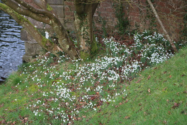
Aird is an ideal destination for nature enthusiasts and outdoor lovers. The rugged coastline invites visitors to explore its sandy beaches and rocky cliffs, while the nearby Galloway Forest Park offers opportunities for hiking, cycling, and wildlife spotting. The village is also a popular spot for birdwatchers, as it is home to various species, including oystercatchers and guillemots.
Despite its small size, Aird benefits from a close proximity to larger towns and amenities. The nearby town of Stranraer provides essential services, including shops, schools, and healthcare facilities. Additionally, Aird is well-connected to the rest of Wigtownshire and Scotland via a network of roads and public transportation.
Overall, Aird offers a peaceful and idyllic setting for those seeking a serene retreat amidst Scotland's stunning natural landscapes. Its rich history, friendly community, and proximity to both coastal and rural attractions make it an attractive destination for locals and visitors alike.
If you have any feedback on the listing, please let us know in the comments section below.
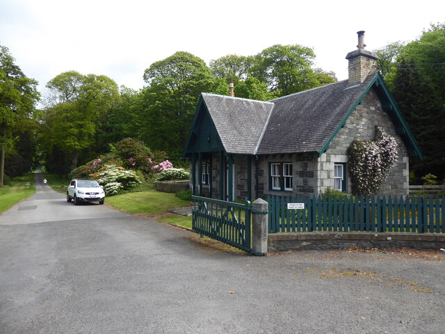
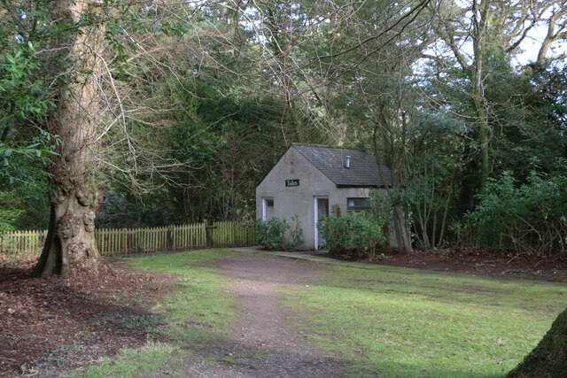
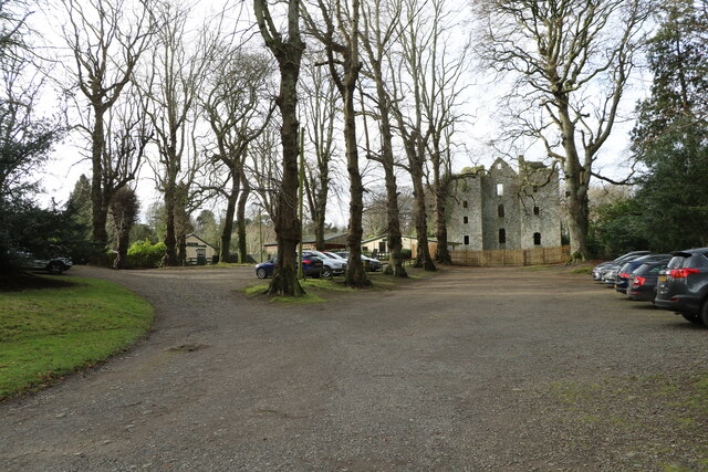
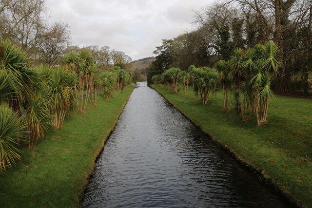
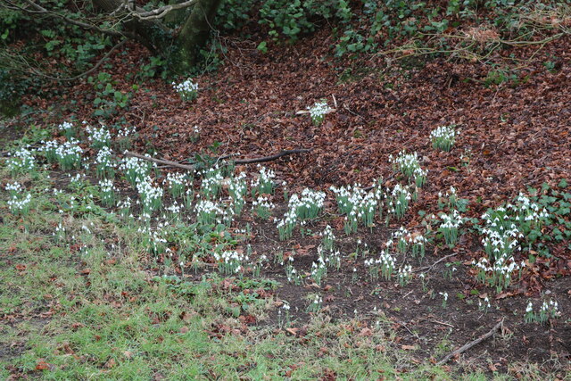
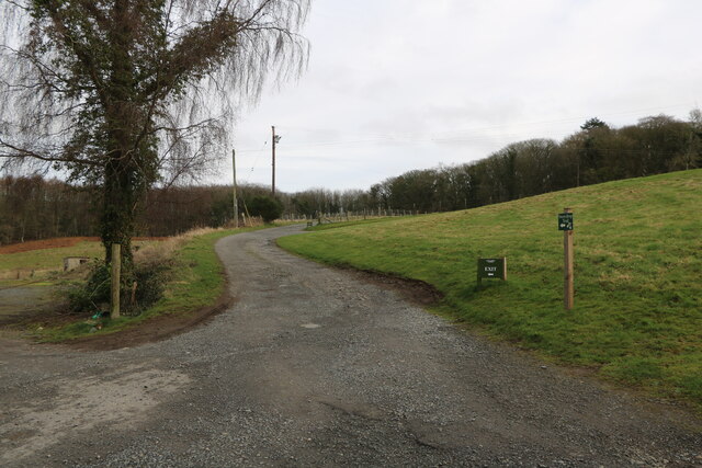
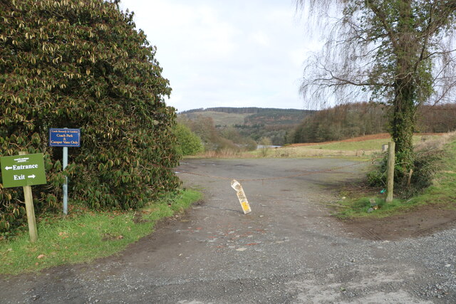
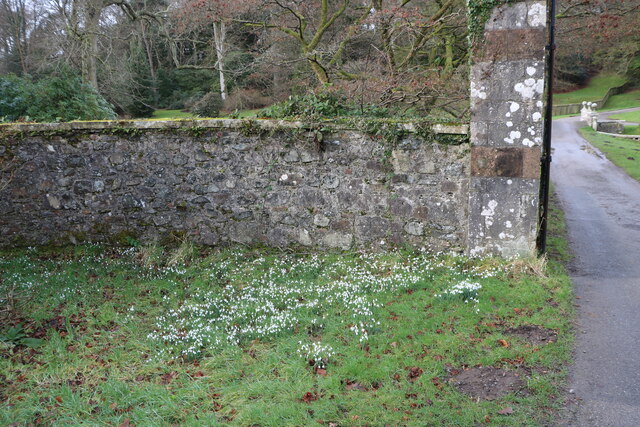
Aird Images
Images are sourced within 2km of 54.899534/-4.9703943 or Grid Reference NX0960. Thanks to Geograph Open Source API. All images are credited.


Aird is located at Grid Ref: NX0960 (Lat: 54.899534, Lng: -4.9703943)
Unitary Authority: Dumfries and Galloway
Police Authority: Dumfries and Galloway
What 3 Words
///glass.emblem.revisits. Near Stranraer, Dumfries & Galloway
Nearby Locations
Related Wikis

Aird, Dumfries and Galloway
Aird (Gaelic:An Àird) is a village in Dumfries and Galloway, in the southwest of Scotland. It is 2.5 miles (4.0 km) east of Stranraer and 1 mile (1.6 km...

Castle Kennedy railway station
Castle Kennedy railway station served the village of Castle Kennedy, Dumfries and Galloway, Scotland from 1861 to 1965 on the Portpatrick and Wigtownshire...
Castle Kennedy
Castle Kennedy is a small village 3 miles (4.8 km) east of Stranraer in Dumfries and Galloway, south-west Scotland. It is on the A75 road, and is within...

Soulseat Abbey
Saulseat or Soulseat Abbey was a Premonstratensian monastic community located in Wigtownshire, Galloway, in the Gaelic-speaking south-west of Scotland...

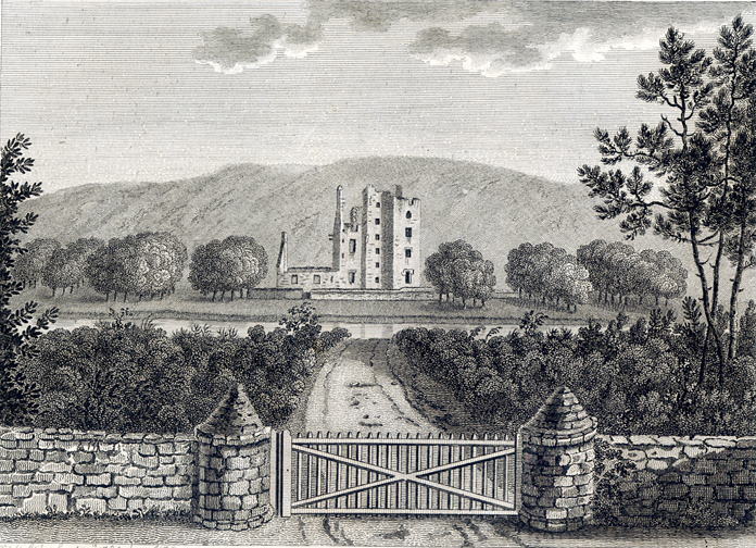
Castle Kennedy (castle)
Castle Kennedy is a ruined 17th-century tower house, about 3 miles (4.8 km) east of Stranraer, Dumfries and Galloway, Scotland, around 0.5 miles (0.80...
RAF Castle Kennedy
Royal Air Force Castle Kennedy, or more simply RAF Castle Kennedy, is a former Royal Air Force satellite station located in Castle Kennedy, Dumfries and...

Stair Park
Stair Park is a public park and football stadium in the town of Stranraer, Scotland and is the home of Stranraer F.C. It is owned by Dumfries and Galloway...

Stranraer Town railway station
Stranraer Town railway station, located in Wigtownshire, Scotland, served the town of Stranraer and was a station on the Portpatrick and Wigtownshire Joint...
Related Videos

Ryan Bay Holiday Park Innermessan - Hagans Leisure Ltd.
Welcome to: Ryan Bay Holiday Park Hagans Leisure Ltd. South West Scotland has something for all ages, no matter what level of ...

Ryan Bay Holiday Park Innermessan Dumfries and Galloway Scotland.
Welcome to Ryan Bay Holiday Park Innermessan - Hagans Leisure Tel: 01776889458 #DumfriesandGalloway #Scotland ...

Discover Ryan Bay Holiday Park Innermessan - Hagans Leisure Ltd.
Ryan Bay Holiday Park Innermessan Hagans Leisure 10 Sec - Social Media. With over 200 miles of coastline and beaches, ...

Welcome to Ryan Bay Holiday Park Innermessan Scotland - Hagans Leisure
Welcome to: Ryan Bay Holiday Park Hagans Leisure Ltd. South West Scotland has something for all ages, no matter what level of ...
Nearby Amenities
Located within 500m of 54.899534,-4.9703943Have you been to Aird?
Leave your review of Aird below (or comments, questions and feedback).