Stirk Park Wood

Wood, Forest in Wigtownshire

Scotland

Stirk Park Wood

The Southern Upland Way near Castle Kennedy
The Southern Upland Way near Castle Kennedy Credit: Dave Kelly

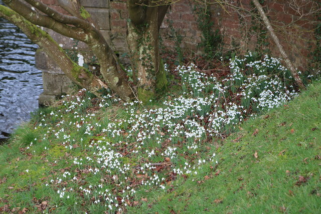
Stirk Park Wood is a picturesque woodland located in Wigtownshire, Scotland. Covering an area of approximately 100 acres, this forest is a haven for nature enthusiasts and outdoor lovers. The wood is situated near the charming town of Wigtown and lies adjacent to the scenic River Bladnoch.

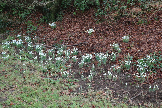
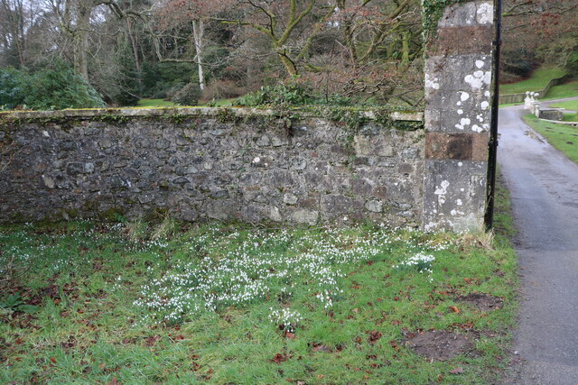
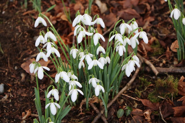
The wood boasts a diverse range of tree species, including oak, birch, beech, and hazel. These majestic trees create a lush canopy, providing a peaceful and tranquil atmosphere for visitors. The forest floor is adorned with an abundance of wildflowers, adding vibrant colors to the landscape.

Stirk Park Wood is home to a variety of wildlife, making it a prime spot for birdwatching and animal spotting. Visitors may catch glimpses of red squirrels, roe deer, and a wide array of bird species, including woodpeckers, tits, and finches. The woodland also provides a vital habitat for many species of insects and butterflies.

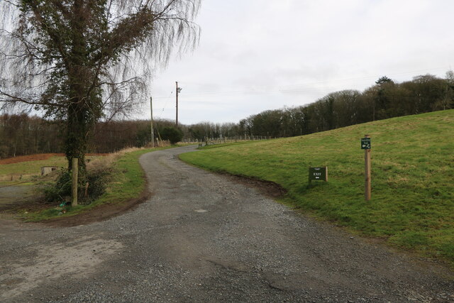
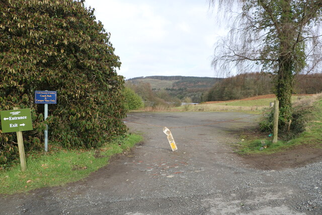
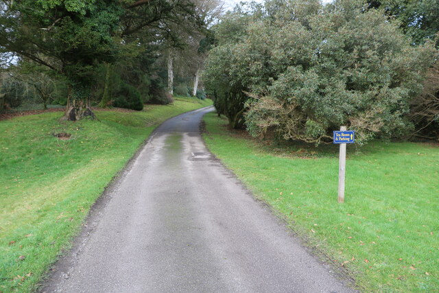
The wood offers several well-maintained walking trails, allowing visitors to explore its natural beauty and discover its hidden gems. The paths wind through the forest, offering stunning views of the river and surrounding countryside. There are also picnic areas and benches scattered throughout the wood, providing opportunities for visitors to relax and soak in the tranquil atmosphere.

Stirk Park Wood is a valuable asset to the local community, offering a peaceful retreat for relaxation and recreation. Whether one seeks a quiet walk amidst nature, a chance to observe wildlife, or simply a moment of solitude, this woodland provides an idyllic setting for all.

If you have any feedback on the listing, please let us know in the comments section below.

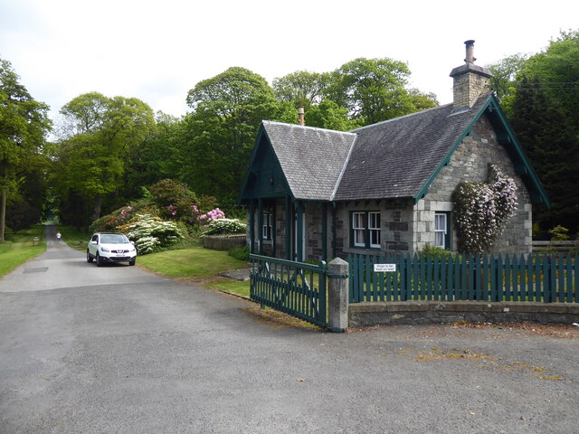
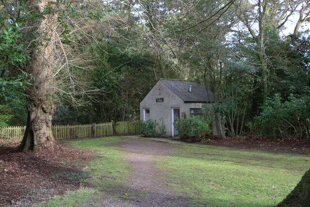
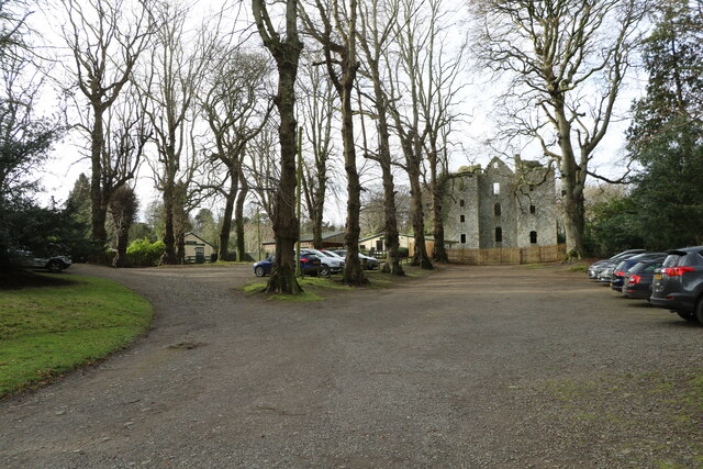
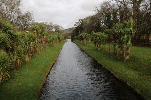
Stirk Park Wood Images

Images are sourced within 2km of 54.904921/-4.9725075 or Grid Reference NX0960. Thanks to Geograph Open Source API. All images are credited.

The Southern Upland Way near Castle Kennedy
Toilet Block At Castle Kennedy Gardens, located at the car park.
Toilet Block
At Castle Kennedy Gardens, located at the car park.
Castle Ruin At Castle Kennedy Gardens, viewed from the car park in early February (5th).
Castle Ruin
At Castle Kennedy Gardens, viewed from the car park in early February (5th).
Car Park, Castle Kennedy Gardens With view of the old Castle, seen in early February (5th).
Car Park, Castle Kennedy Gardens
With view of the old Castle, seen in early February (5th).
Bridge over Canal At Castle Kennedy Gardens, viewed in early February (5th).
Bridge over Canal
At Castle Kennedy Gardens, viewed in early February (5th).
Canal, Castle Kennedy Gardens From the road bridge, canal leading to the Black Loch, viewed in early February (5th).
Canal, Castle Kennedy Gardens
From the road bridge, canal leading to the Black Loch, viewed in early February (5th).
Canal, Castle Kennedy Gardens From the road bridge, canal leading to the White Loch, viewed in early February (5th).
Canal, Castle Kennedy Gardens
From the road bridge, canal leading to the White Loch, viewed in early February (5th).
Snowdrops, Castle Kennedy Gardens Viewed in early February (5th).
Snowdrops, Castle Kennedy Gardens
Viewed in early February (5th).
Entrance to Castle Kennedy Gardens The bridge through the gate is over the canal. Viewed in early February (5th).
Entrance to Castle Kennedy Gardens
The bridge through the gate is over the canal. Viewed in early February (5th).
Exit Road from Castle Kennedy Gardens This is a new one way system.
Exit Road from Castle Kennedy Gardens
This is a new one way system.
No Entry One Way This was the old way out but now change to a new one way system.
No Entry One Way
This was the old way out but now change to a new one way system.
Coach Park At Castle Kennedy Gardens.
Coach Park
At Castle Kennedy Gardens.
Snowdrops, Castle Kennedy Gardens At the Main Entrance Gate. Viewed in early February (5th).
Snowdrops, Castle Kennedy Gardens
At the Main Entrance Gate. Viewed in early February (5th).
Snowdrops, Castle Kennedy Gardens Viewed in early February (5th).
Snowdrops, Castle Kennedy Gardens
Viewed in early February (5th).
Road Bridge over Canal At Castle Kennedy Gardens, canal links the Black Loch with the White Loch. Viewed in early February (5th).
Road Bridge over Canal
At Castle Kennedy Gardens, canal links the Black Loch with the White Loch. Viewed in early February (5th).
Snowdrops by the Canal At Castle Kennedy Gardens. Viewed in early February (5th).
Snowdrops by the Canal
At Castle Kennedy Gardens. Viewed in early February (5th).
Bridge over the Canal At Castle Kennedy Gardens. Viewed in early February (5th).
Bridge over the Canal
At Castle Kennedy Gardens. Viewed in early February (5th).
Road to the Castle Signs says Tea Room & Parking. Viewed in early February (5th).
Road to the Castle
Signs says Tea Room & Parking. Viewed in early February (5th).
Show me another place!

Stirk Park Wood is located at Grid Ref: NX0960 (Lat: 54.904921, Lng: -4.9725075)

Unitary Authority: Dumfries and Galloway

Police Authority: Dumfries and Galloway

What 3 Words

///pins.steam.wardrobe. Near Stranraer, Dumfries & Galloway

Related Wikis

Aird, Dumfries and Galloway

Aird (Gaelic:An Àird) is a village in Dumfries and Galloway, in the southwest of Scotland. It is 2.5 miles (4.0 km) east of Stranraer and 1 mile (1.6 km...

Castle Kennedy (castle)

Castle Kennedy is a ruined 17th-century tower house, about 3 miles (4.8 km) east of Stranraer, Dumfries and Galloway, Scotland, around 0.5 miles (0.80...

Castle Kennedy

Castle Kennedy is a small village 3 miles (4.8 km) east of Stranraer in Dumfries and Galloway, south-west Scotland. It is on the A75 road, and is within...

Castle Kennedy railway station

Castle Kennedy railway station served the village of Castle Kennedy, Dumfries and Galloway, Scotland from 1861 to 1965 on the Portpatrick and Wigtownshire...

Nearby Amenities

Located within 500m of 54.904921,-4.9725075
Inchparks
Naptan AtcoCode: 680000846333
Naptan Bearing: NW
Naptan BusStopType: CUS
Naptan CommonName: Inchparks
Naptan Indicator: opp road end
Naptan Landmark: A751
Naptan NaptanCode: 34234969
Naptan Notes: none
Naptan Street: A75
Naptan Verified: no
Source: naptan_import
Lat/Long: 54.9045513/-4.9757473
Inchparks
Naptan AtcoCode: 680000846444
Naptan Bearing: SE
Naptan BusStopType: CUS
Naptan CommonName: Inchparks
Naptan Indicator: Road end
Naptan Landmark: A751
Naptan NaptanCode: 34234968
Naptan Notes: none
Naptan Street: A75
Naptan Verified: no
Source: naptan_import
Lat/Long: 54.9046692/-4.9757092
Power: pole
Lat/Long: 54.9092511/-4.9717097
Power: pole
Lat/Long: 54.9085088/-4.9714327
Power: pole
Lat/Long: 54.9076734/-4.9711416
Power: pole
Lat/Long: 54.9068218/-4.9708364
Power: pole
Lat/Long: 54.9062414/-4.9706321
Power: pole
Lat/Long: 54.905437/-4.9703199
Power: pole
Lat/Long: 54.9046663/-4.9700382
Power: pole
Lat/Long: 54.9041278/-4.9698246
Power: pole
Lat/Long: 54.9033233/-4.9698598
Power: pole
Lat/Long: 54.9086931/-4.9758063
Power: pole
Lat/Long: 54.9083233/-4.9758145
Power: pole
Lat/Long: 54.9079616/-4.9758098
Power: pole
Lat/Long: 54.9075864/-4.9758169
Power: pole
Lat/Long: 54.9069568/-4.9758274
Power: pole
Lat/Long: 54.9066862/-4.9758227
Power: pole
Lat/Long: 54.9062225/-4.9758474
Power: pole
Lat/Long: 54.9056894/-4.9757464
Power: pole
Lat/Long: 54.9051414/-4.9756408
Power: pole
Lat/Long: 54.9067773/-4.9726288
Power: pole
Lat/Long: 54.9067408/-4.974035
Power: pole
Lat/Long: 54.9073333/-4.9778393
Power: pole
Lat/Long: 54.9071707/-4.9789791
The data included in this document is from www.openstreetmap.org. The data is made available under ODbL.

Have you been to Stirk Park Wood?

Leave your review of Stirk Park Wood below (or comments, questions and feedback).