Aikrigg
Settlement in Westmorland South Lakeland
England
Aikrigg
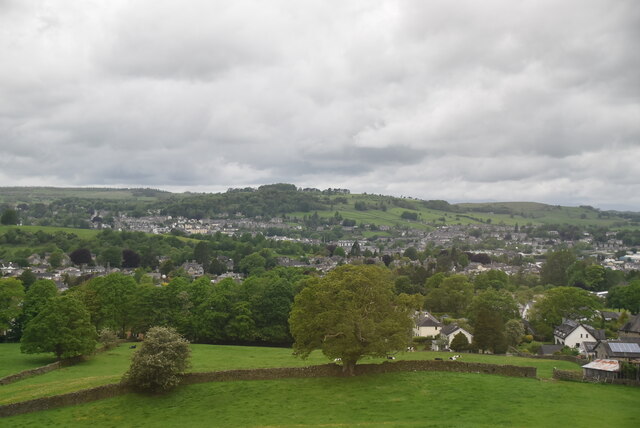
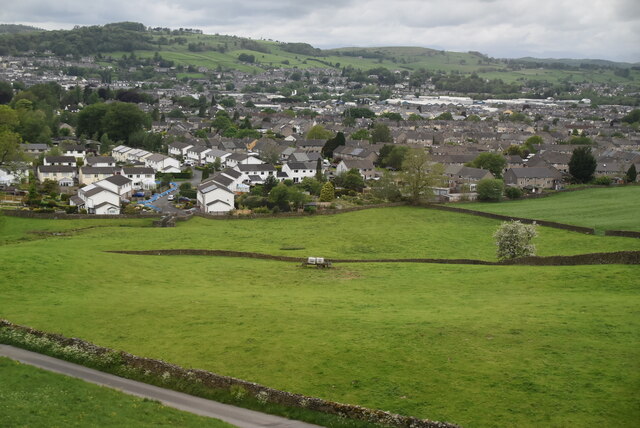
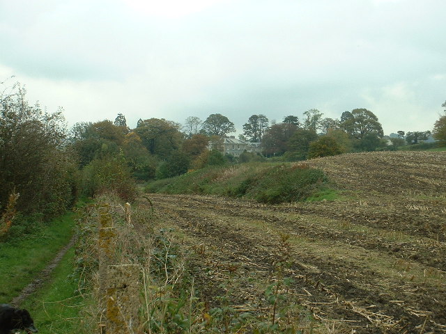
Aikrigg is a small village located in the county of Westmorland, in the North West region of England. Nestled in the picturesque countryside, it is situated approximately 5 miles northeast of Kendal, the largest town in the area. Aikrigg is a predominantly residential area, with a population of around 200 residents.
The village is known for its quaint charm and tranquil atmosphere. It is surrounded by rolling hills and lush green fields, offering breathtaking views and a peaceful environment. Aikrigg is also in close proximity to the stunning Lake District National Park, making it an attractive destination for nature enthusiasts and hikers.
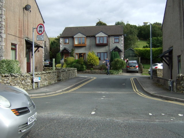
The architecture in Aikrigg reflects its rural character, with a mix of traditional stone cottages and modern houses. The village has a small primary school, providing education to local children. While there are no major commercial establishments in Aikrigg, residents have easy access to amenities and services in nearby Kendal.
The community in Aikrigg is tight-knit, with various social and recreational activities organized throughout the year. The village hosts an annual summer fair, bringing residents together for a day of fun and entertainment. Aikrigg also benefits from its proximity to the market town of Kendal, which offers a wider range of shops, restaurants, and leisure facilities.
Overall, Aikrigg is a charming village nestled in the beautiful Westmorland countryside, offering residents and visitors a peaceful and idyllic setting to enjoy the natural beauty of the area.
If you have any feedback on the listing, please let us know in the comments section below.
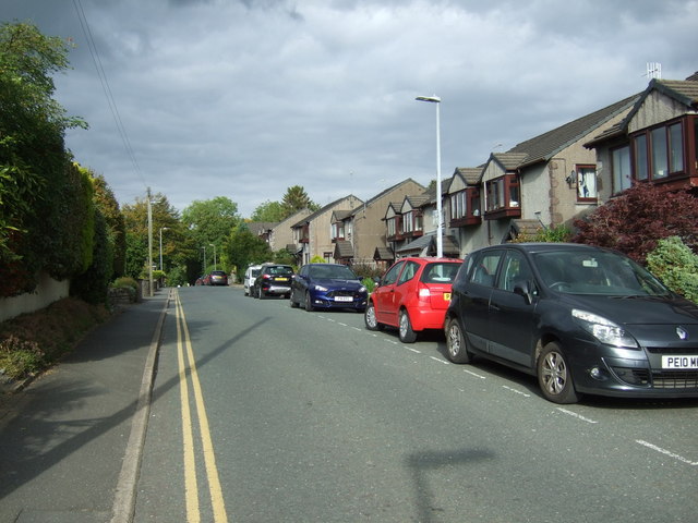
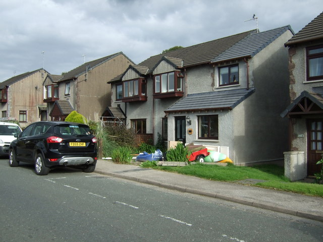
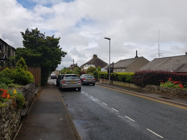
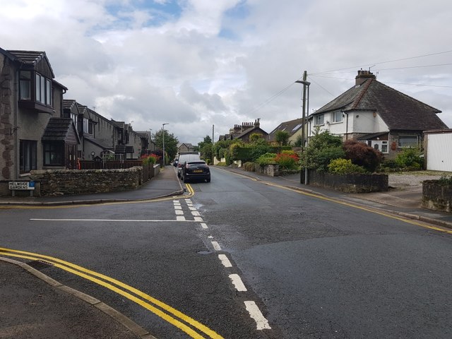
Aikrigg Images
Images are sourced within 2km of 54.319348/-2.7311008 or Grid Reference SD5291. Thanks to Geograph Open Source API. All images are credited.
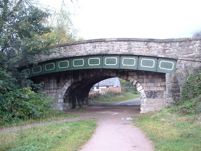
![The Change Bridge, Kendal Situated on the long disused section of the Lancaster Canal, this bridge allowed the Tow Horses to change from one side of the canal to the other [as the tow path changed sides] without unhitching from the barge they were towing. The horse track curving up to the bridge with no steps is clearly visible. This is the only bridge of its type in Cumbria, though there are others on the canal further south in Lancashire.](https://s0.geograph.org.uk/photos/07/10/071072_99631504.jpg)
Aikrigg is located at Grid Ref: SD5291 (Lat: 54.319348, Lng: -2.7311008)
Administrative County: Cumbria
District: South Lakeland
Police Authority: Cumbria
What 3 Words
///tiger.potato.struck. Near Kendal, Cumbria
Nearby Locations
Related Wikis

Netherfield Cricket Club
Netherfield Cricket Club Ground is a cricket ground in Kendal, Cumbria (formerly part of Westmorland). The first recorded match on the ground was in 1893...
Kendal Town F.C.
Kendal Town Football Club is a football club based in Kendal, Cumbria, England. The club are currently members of the North West Counties League Premier...
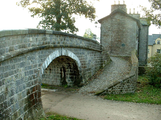
Change Bridge, Kendal
Change Bridge is a Grade II listed single-arch changeline bridge spanning what was formerly a section of the Lancaster Canal in the English market town...
Kirkbie Kendal School
Kirkbie Kendal School is an academy school and known as a Business and Enterprise College in Kendal, Cumbria, Northern England, and serves the area around...
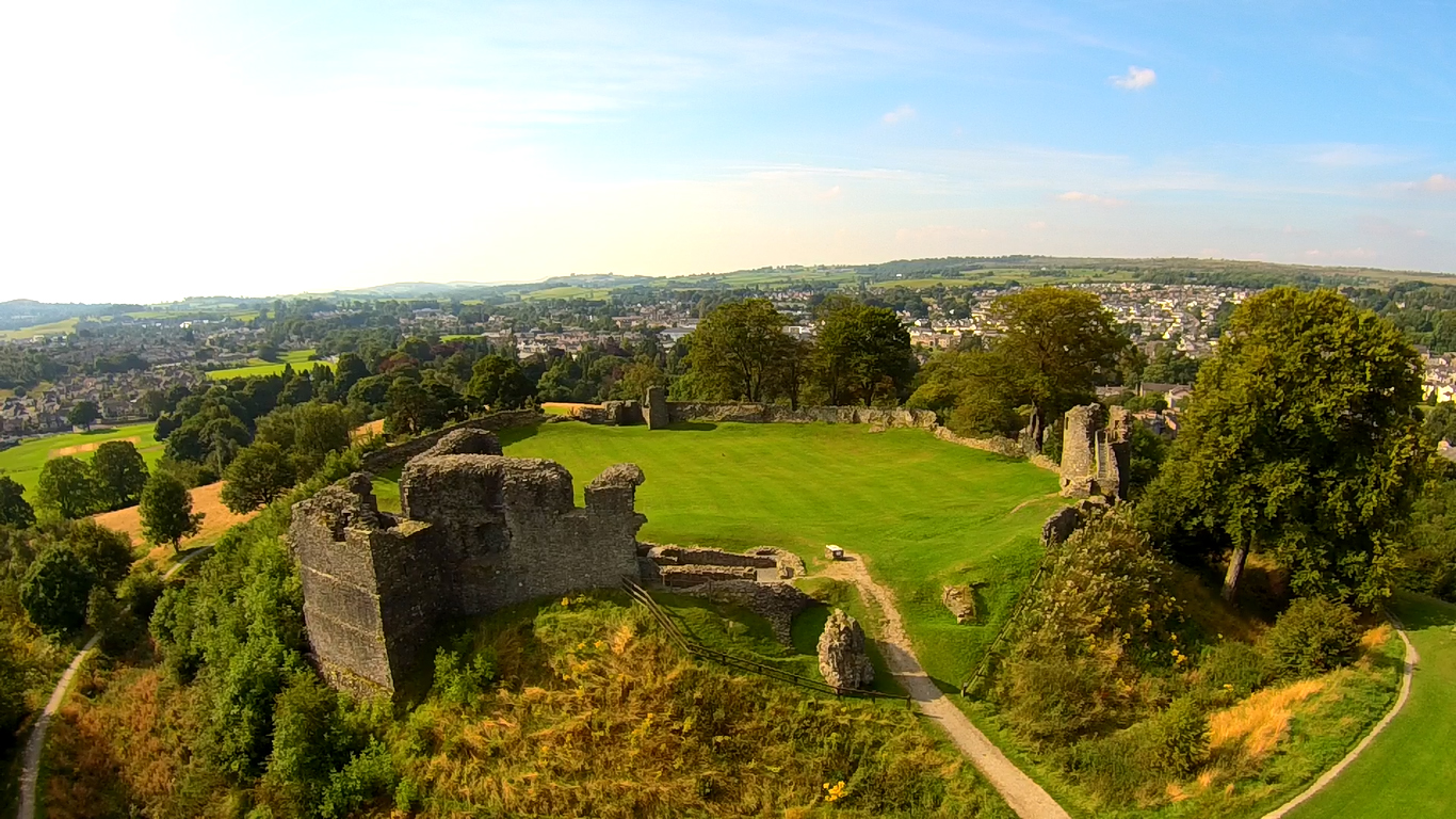
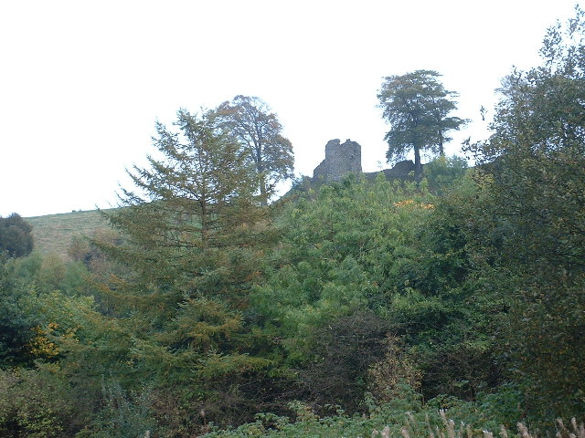
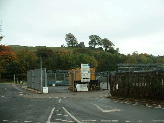
Kendal Castle
Kendal Castle is a medieval fortification to the east of the town of Kendal, Cumbria, in northern England. The castle, which is atop a glacial drumlin...

Abbot Hall Art Gallery
Abbot Hall Art Gallery is an art gallery in Kendal, England. Abbot Hall was built in 1759 by Colonel George Wilson, the second son of Daniel Wilson of...
Westmorland County Football Association
The Westmorland County Football Association is the governing body of football in the county of Westmorland. The association was formed in 1897. ��2�...

Queen Katherine Street drill hall, Kendal
The Queen Katherine Street drill hall, sometimes known as the Aynam Road drill hall is a military installation located in Queen Katherine Street, off Aynam...
Nearby Amenities
Located within 500m of 54.319348,-2.7311008Have you been to Aikrigg?
Leave your review of Aikrigg below (or comments, questions and feedback).