Ailscroft

Settlement in Herefordshire

England

Ailscroft

The detached tower at Bosbury
The detached tower at Bosbury Credit: mym

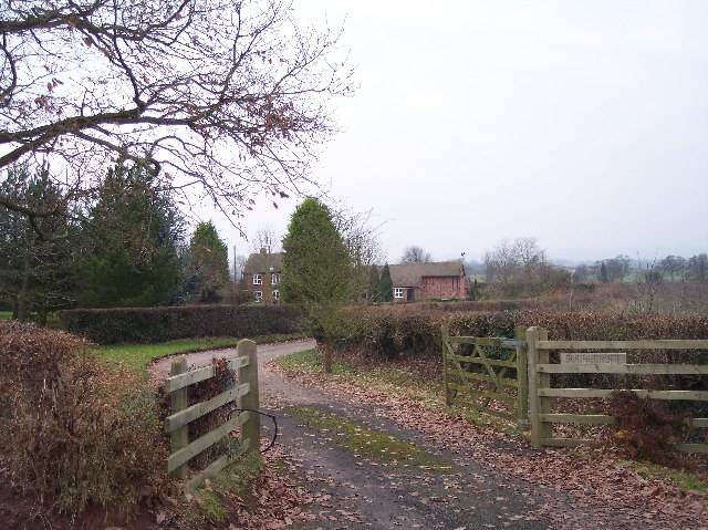
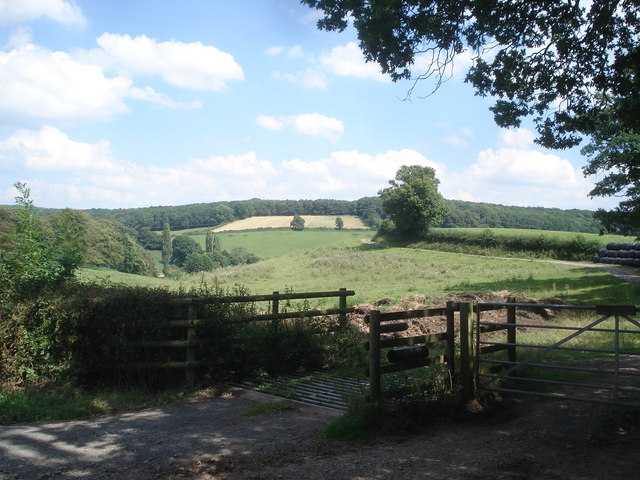
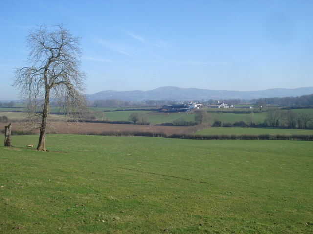
Ailscroft is a small village located in the county of Herefordshire, England. Situated in the picturesque countryside, it is surrounded by rolling hills and lush green fields, offering a tranquil and idyllic setting for its residents and visitors alike.

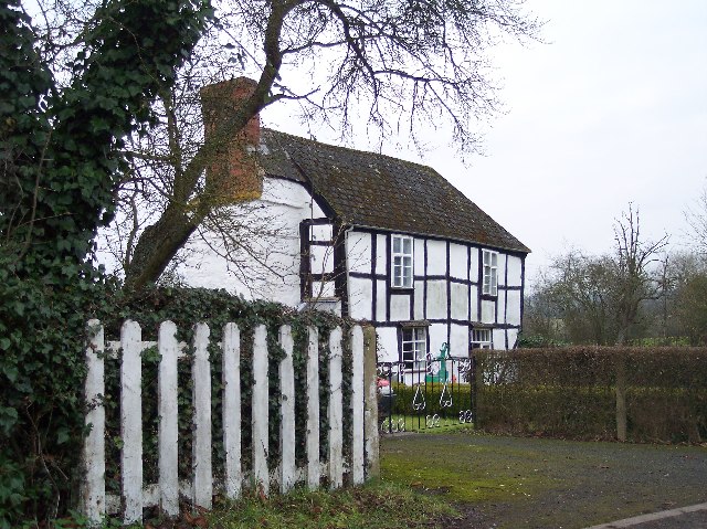
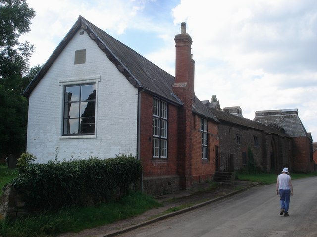
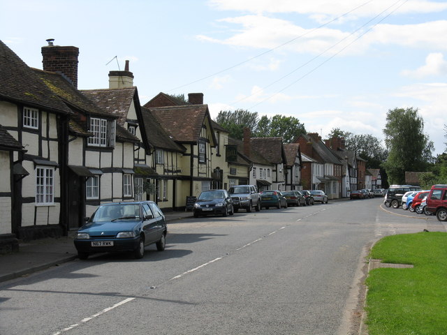
The village itself is characterized by its charming and quaint atmosphere, with traditional stone houses and well-maintained gardens lining its streets. Ailscroft is home to a close-knit community of approximately 500 residents, who take great pride in their village and its heritage.

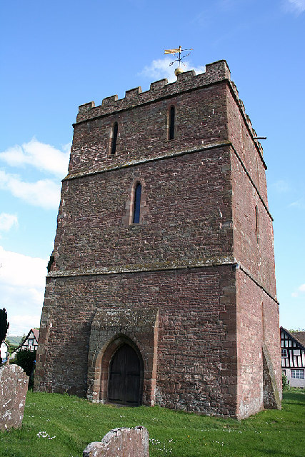
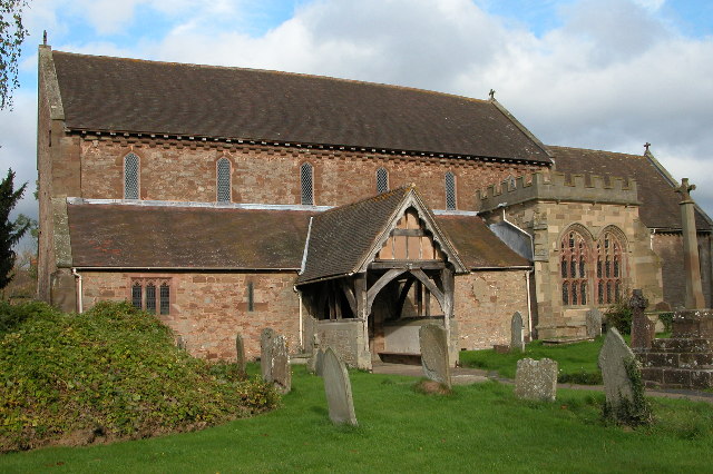
One of the notable features of Ailscroft is its historic parish church, St. Mary's, which dates back to the 12th century. The church is a fine example of Norman architecture and contains beautiful stained glass windows and intricate stone carvings.

Despite its small size, Ailscroft boasts a number of amenities for its residents, including a local pub, The Rose and Crown, which serves up traditional English cuisine and a warm, friendly atmosphere. The village also has a primary school, a village hall, and a community center, providing important facilities for the local population.

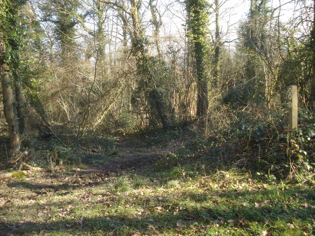
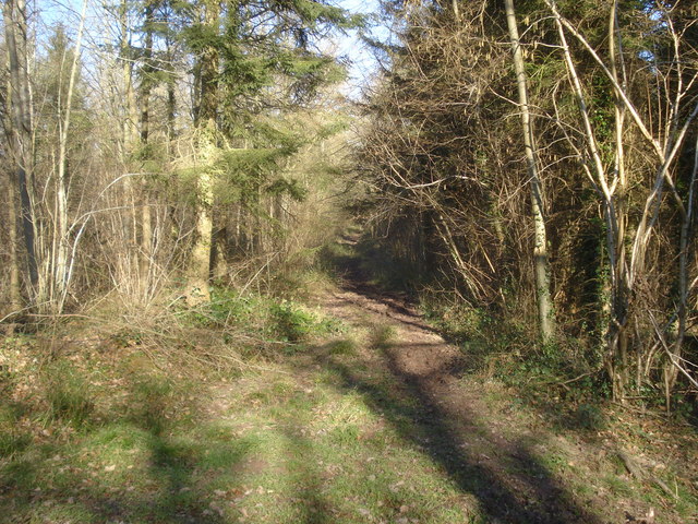
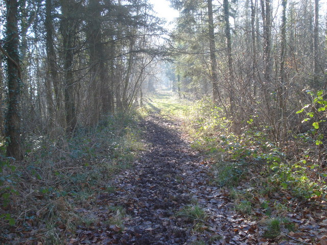
Surrounded by stunning natural beauty, Ailscroft offers plenty of opportunities for outdoor activities. The nearby Herefordshire countryside is perfect for hiking, cycling, and horse riding, with numerous trails and paths to explore. The village is also within close proximity to the River Wye, allowing for leisurely walks along its banks and the chance to enjoy fishing or boating.

Overall, Ailscroft is a delightful village that offers a peaceful and picturesque retreat for those seeking a slower pace of life and a strong sense of community in the heart of Herefordshire.

If you have any feedback on the listing, please let us know in the comments section below.
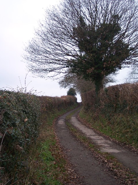
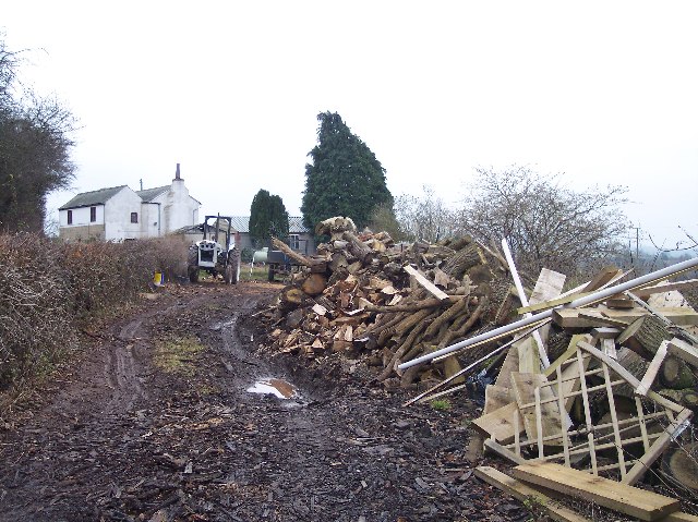
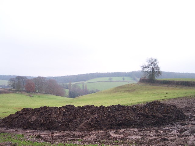
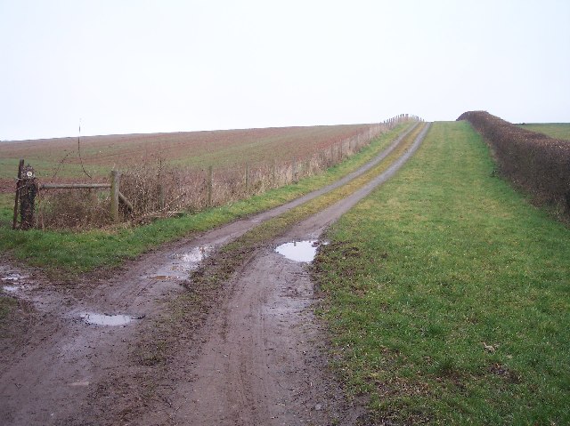
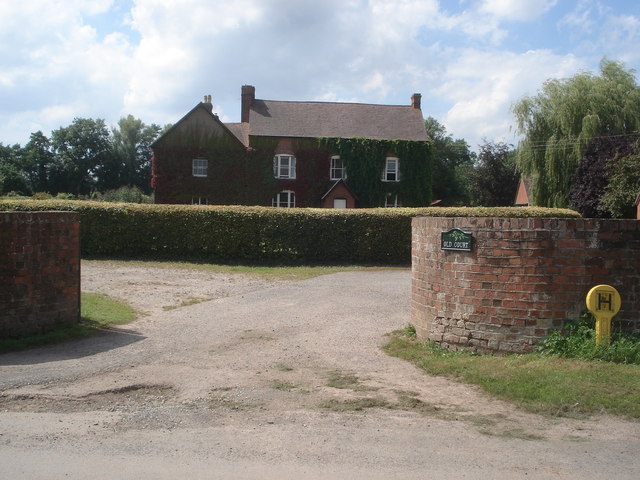
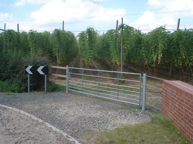
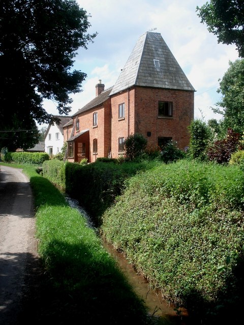
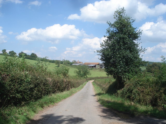
Ailscroft Images

Images are sourced within 2km of 52.091217/-2.435873 or Grid Reference SO7043. Thanks to Geograph Open Source API. All images are credited.

The detached tower at Bosbury
Holy Trinity Church, Bosbury The church is unusual in that the tower is detached from the church. Pevsner describes the church as being 'A large and consistent church of the transition between Norman and Early English'.
Holy Trinity Church, Bosbury
The church is unusual in that the tower is detached from the church. Pevsner describes the church as being 'A large and consistent church of the transition between Norman and Early English'.
Sugarcroft Viewed from the east.
Sugarcroft
Viewed from the east.
Long Acre With an old orchard with possibly more mistletoe than apples.
Long Acre
With an old orchard with possibly more mistletoe than apples.
Lane to Dodd's Mill Looking NE
Lane to Dodd's Mill
Looking NE
Cottage near Harbour Hill Viewed from the north. Good stock of wood.
Cottage near Harbour Hill
Viewed from the north. Good stock of wood.
Dung Hill for Muck Spreading Looking east from the gate to Shinscroft Farm. muck spreading has already started at the higher slopes of the field.
Dung Hill for Muck Spreading
Looking east from the gate to Shinscroft Farm. muck spreading has already started at the higher slopes of the field.
Track to The Merrings Looking NE up the farm track whilst the public footpath turns off diagonally across the field to the left.
Track to The Merrings
Looking NE up the farm track whilst the public footpath turns off diagonally across the field to the left.
Old Court Entrance to this Bosbury farmhouse.
Old Court
Entrance to this Bosbury farmhouse.
Hop field at Bosbury Viewed from the bend in the lane as it crosses the stream. Since 2005 more hops are now grown in Hereford/Worcester than in Kent.
Hop field at Bosbury
Viewed from the bend in the lane as it crosses the stream. Since 2005 more hops are now grown in Hereford/Worcester than in Kent.
Catley Cross Farm Looking westwards along the lane. A converted oast house makes up the end of the dwelling house on this side.
Catley Cross Farm
Looking westwards along the lane. A converted oast house makes up the end of the dwelling house on this side.
Lane near Notehouse Farm Looking north-east with the Notehouse Farm buildings ahead.
Lane near Notehouse Farm
Looking north-east with the Notehouse Farm buildings ahead.
Entrance to Shinscroft Viewed from the lane to Notehouse Farm.
Entrance to Shinscroft
Viewed from the lane to Notehouse Farm.
Free grammar school at Bosbury School for boys founded by Sir Rowland Morton in 1546, but reconstructed in the 17th century. Replaced by a new mixed school in the 1960s. The building next door used to be the local gaol.
Free grammar school at Bosbury
School for boys founded by Sir Rowland Morton in 1546, but reconstructed in the 17th century. Replaced by a new mixed school in the 1960s. The building next door used to be the local gaol.
Farmland at Beacon Hill Farm View north-east from the edge of the wood. Beacon Hill Farm in the middle distance and the Worcestershire Beacon on the horizon.
Farmland at Beacon Hill Farm
View north-east from the edge of the wood. Beacon Hill Farm in the middle distance and the Worcestershire Beacon on the horizon.
Path junction in Beacon Hill Wood Looking eastwards at the start of the footpath to Beacon Hill Farm. A dense woodland with trees across the path, and muddy parts in winter.
Path junction in Beacon Hill Wood
Looking eastwards at the start of the footpath to Beacon Hill Farm. A dense woodland with trees across the path, and muddy parts in winter.
Footpath in Beacon Hill Wood Heading northwards along a muddy path in mixed woodland.
Footpath in Beacon Hill Wood
Heading northwards along a muddy path in mixed woodland.
Track through Beacon Hill Wood Looking southwards along the footpath, which broadens out towards the northern end of the wood.
Track through Beacon Hill Wood
Looking southwards along the footpath, which broadens out towards the northern end of the wood.
Show me another place!

Ailscroft is located at Grid Ref: SO7043 (Lat: 52.091217, Lng: -2.435873)

Unitary Authority: County of Herefordshire

Police Authority: West Merica

What 3 Words

///betrayal.trample.outbursts. Near Evesbatch, Herefordshire

Nearby Locations

Ailscroft

Related Wikis

Bosbury

Bosbury is a village and civil parish in Herefordshire, England, approximately 3.5 miles (5.6 km) north of Ledbury. The small River Leadon flows through...

Coddington, Herefordshire

Coddington is a hamlet and civil parish in eastern Herefordshire, England, about 3 miles (4.8 km) north of Ledbury. The west side of the parish covers...

Hope End

Hope End is an area and former estate of Herefordshire, England, near the Malvern Hills, noted for its literary associations. As described by a 19th-century...

A4103 road

The A4103 is an A-road which runs from Worcester to the A480 in Stretton Sugwas, a village 2 miles (3.2 km) west of Hereford. The road is a primary route...

Fromes Hill

Fromes Hill is a hamlet in the civil parish of Bishop's Frome, in Herefordshire, England, and is about 15 miles (24 km) east from the city and county town...

Wellington Heath

Wellington Heath is a small village and civil parish in Herefordshire, England, approximately 1.5 miles (2.4 km) north of Ledbury. The population was recorded...

Upleadon Preceptory

Upleadon Preceptory was a priory in Herefordshire, England at grid reference SO66504270. == References ==

Mathon, Herefordshire

Mathon is a small village and civil parish in eastern Herefordshire, England, lying just to the west of the Malvern Hills between Malvern and Ledbury....

Nearby Amenities

Located within 500m of 52.091217,-2.435873
Bus Stop
Forge Bank
Bus: yes
Naptan AtcoCode: 2090A067600
Naptan Bearing: SW
Naptan BusStopType: CUS
Naptan CommonName: Forge Bank
Naptan Indicator: adj no 30
Naptan Landmark: Housing estate
Naptan NaptanCode: heradgdw
Naptan Street: Forge Bank
Naptan Verified: no
Public Transport: platform
Source: naptan_import
Lat/Long: 52.0879295/-2.440044
Bus Stop
Forge Bank
Bus: yes
Naptan AtcoCode: 2090A20179
Naptan Bearing: NE
Naptan BusStopType: CUS
Naptan CommonName: Forge Bank
Naptan Indicator: adj no 23
Naptan Landmark: Housing Estate
Naptan NaptanCode: herapapa
Naptan Street: Forge Bank
Naptan Verified: no
Public Transport: platform
Source: naptan_import
Lat/Long: 52.0879281/-2.440438
Power: pole
Lat/Long: 52.0873513/-2.4392291
Power: pole
Lat/Long: 52.0875438/-2.4386337
Power: pole
Lat/Long: 52.087696/-2.4379501
Power: pole
Lat/Long: 52.0877755/-2.4371982
Power: pole
Lat/Long: 52.0879493/-2.4354727
Power: pole
Lat/Long: 52.0881008/-2.433584
Power: pole
Lat/Long: 52.0883667/-2.4314856
Fire Hydrant
Emergency: fire_hydrant
Fire Hydrant Type: underground
Source: survey
Lat/Long: 52.0886998/-2.4381374
Fire Hydrant
Emergency: fire_hydrant
Fire Hydrant Type: underground
Source: survey
Lat/Long: 52.0886982/-2.4404991
Power: pole
Lat/Long: 52.0957019/-2.4363631
Power: pole
Lat/Long: 52.0938823/-2.4411046
Power: pole
Lat/Long: 52.0943511/-2.4404501
Power: pole
Lat/Long: 52.0948603/-2.4398305
Brook Farm
Power: pole
Transformer: distribution
Voltage Primary: 11000
Lat/Long: 52.0955173/-2.4373649
Power: pole
Lat/Long: 52.0953847/-2.4362303
Power: pole
Lat/Long: 52.0946712/-2.4359098
Bosbury House
Power: pole
Transformer: distribution
Voltage Primary: 11000
Lat/Long: 52.0936305/-2.4328266
Power: pole
Lat/Long: 52.0937842/-2.4344145
Power: pole
Lat/Long: 52.0938975/-2.4356094
Power: pole
Lat/Long: 52.0928816/-2.435144
Power: pole
Lat/Long: 52.0917466/-2.4349784
Power: pole
Lat/Long: 52.0907631/-2.4348235
Bosbury Sewage Station East
Power: pole
Transformer: distribution
Voltage Primary: 11000
Lat/Long: 52.091052/-2.4403871
Power: pole
Lat/Long: 52.0909588/-2.4396287
Power: pole
Lat/Long: 52.0906725/-2.4388321
Bosbury East
Power: pole
Transformer: distribution
Voltage Primary: 11000
Lat/Long: 52.0903174/-2.4378658
Power: pole
Lat/Long: 52.0901254/-2.4373743
Power: pole
Lat/Long: 52.0900611/-2.4360493
Power: pole
Lat/Long: 52.0900001/-2.4347189
Power: pole
Lat/Long: 52.0886582/-2.4352305
Power: pole
Lat/Long: 52.0893244/-2.4349737
The Firs (Bosbury)
Power: transformer
Transformer: distribution
Voltage Primary: 11000
Lat/Long: 52.0879784/-2.4407941
The data included in this document is from www.openstreetmap.org. The data is made available under ODbL.

Have you been to Ailscroft?

Leave your review of Ailscroft below (or comments, questions and feedback).