Aikhead

Settlement in Cumberland Allerdale

England

Aikhead

The road bridge at Waverbridge Carries the B5302 road across the River Waver and has a long embankment on this approach from the east
The road bridge at Waverbridge Credit: Kevin Waterhouse

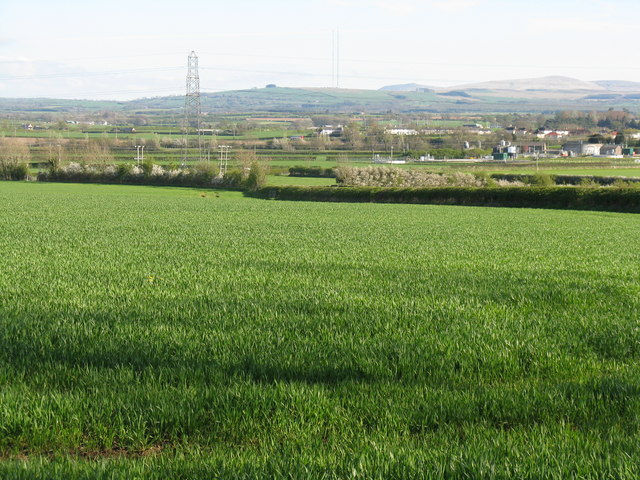
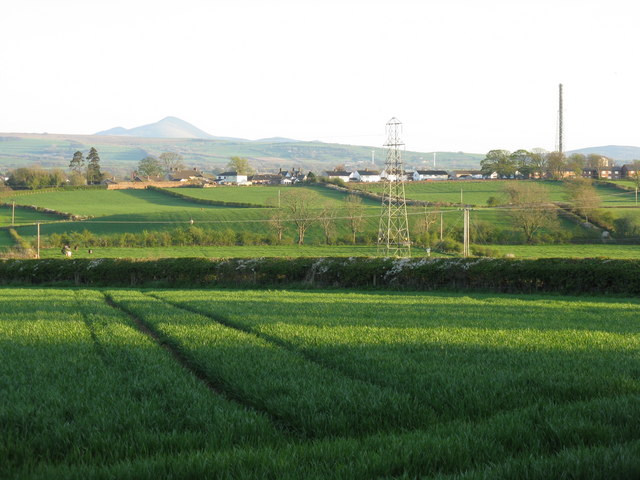
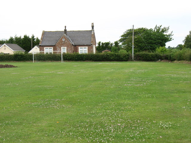
Aikhead is a small village located in the county of Cumberland, in the northwest region of England. Situated in a rural setting, it is surrounded by picturesque countryside and offers a tranquil and peaceful atmosphere. The village is part of the larger civil parish of Hayton and Mealo, and is situated approximately 8 miles south of the town of Carlisle.

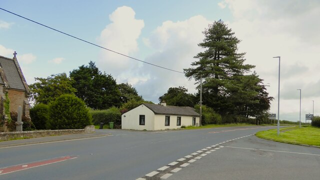
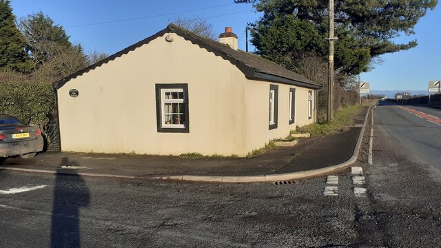
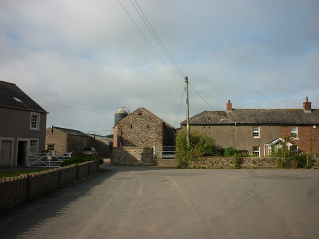
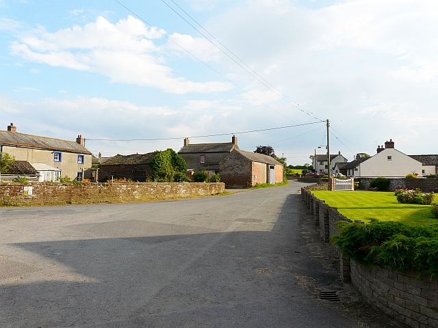
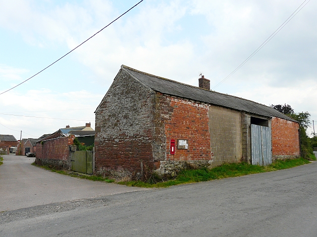
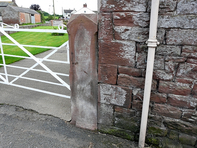
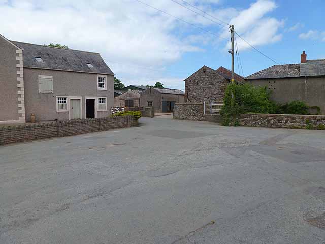
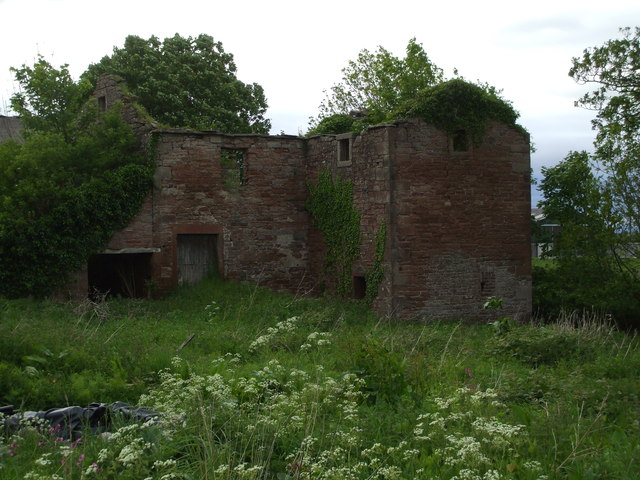
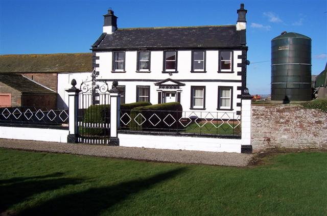
Aikhead is characterized by its charming and traditional English architecture, with many buildings dating back several centuries. The village is home to a close-knit community, with a population of around 200 residents. The residents of Aikhead take great pride in their village and work towards maintaining its beauty and heritage.

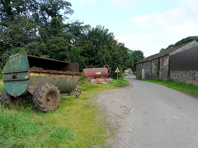
Aikhead is well-connected to neighboring towns and cities by road, with several major roads passing nearby. This makes it easily accessible for both residents and visitors. Despite its small size, the village has some basic amenities such as a local pub and a small shop, ensuring that the essential needs of the community are met.

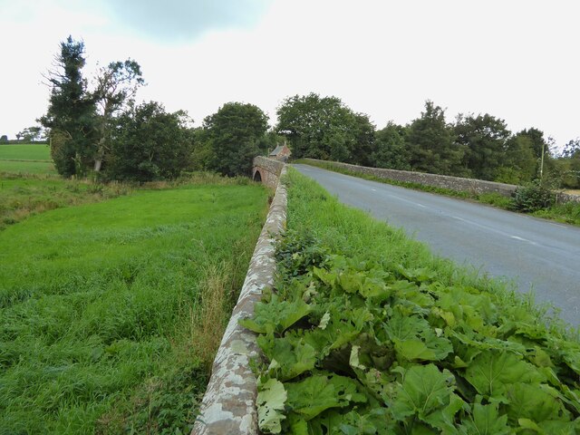
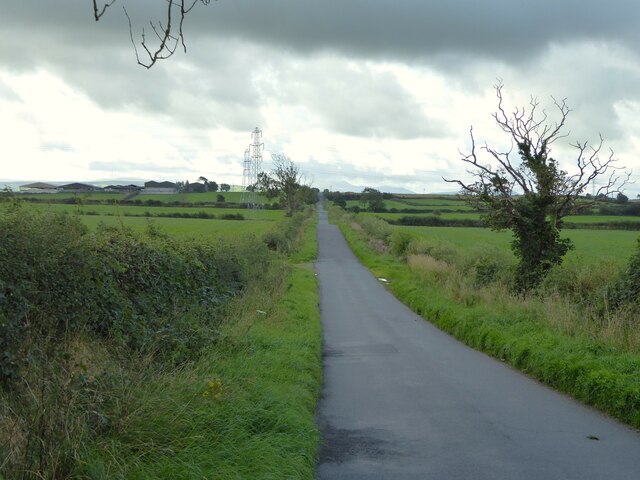
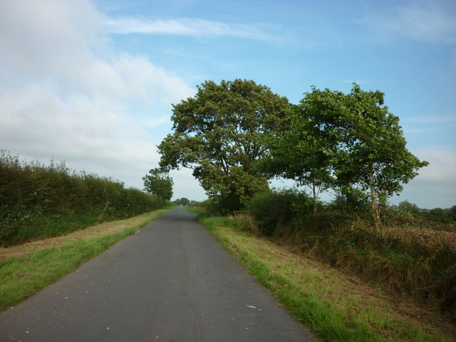
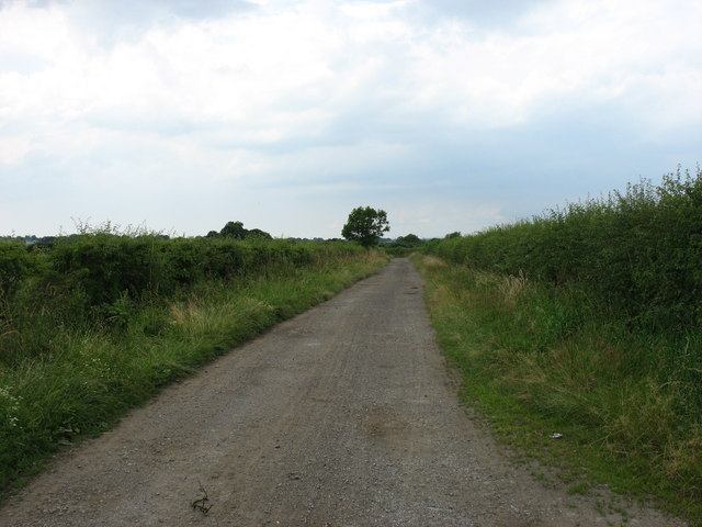
The surrounding countryside offers plenty of opportunities for outdoor activities and exploration. There are numerous walking trails and cycling routes that allow visitors to enjoy the natural beauty of the area. Aikhead is also located in close proximity to the Lake District National Park, providing residents and visitors with easy access to one of the most stunning areas of natural beauty in the UK.

Overall, Aikhead offers a peaceful retreat from the hustle and bustle of city life, with its quaint village charm and stunning natural surroundings. It is a place where residents and visitors can enjoy the beauty of the English countryside while experiencing the warmth and hospitality of a close-knit community.

If you have any feedback on the listing, please let us know in the comments section below.
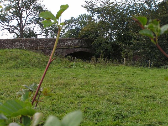
Aikhead Images

Images are sourced within 2km of 54.832689/-3.1888415 or Grid Reference NY2349. Thanks to Geograph Open Source API. All images are credited.

The road bridge at Waverbridge Carries the B5302 road across the River Waver and has a long embankment on this approach from the east
The road bridge at Waverbridge
Carries the B5302 road across the River Waver and has a long embankment on this approach from the east
A straight road to Waverton Across undulating farmland
A straight road to Waverton
Across undulating farmland
Toll Bar Cottage At the cross roads but without the usual jutting out toll booth windows that allow the view along the road
Toll Bar Cottage
At the cross roads but without the usual jutting out toll booth windows that allow the view along the road
Benchmark on NE face, east angle of Christ Church Ordnance Survey cut mark benchmark levelled at 38.355m above Newlyn Datum verified 1970
Benchmark on NE face, east angle of Christ Church
Ordnance Survey cut mark benchmark levelled at 38.355m above Newlyn Datum verified 1970
Christ Church at western quadrant of crossroads in Waverton There is an Ordnance Survey benchmark <a href="https://www.geograph.org.uk/photo/7667771">NY2247 : Benchmark on NE face, east angle of Christ Church</a> on the near corner, right hand face, of the church
Christ Church at western quadrant of crossroads in Waverton
There is an Ordnance Survey benchmark NY2247 : Benchmark on NE face, east angle of Christ Church on the near corner, right hand face, of the church
Toll Bar Cottage on north side of A596 A benchmark was levelled on the toll house at 131.219 feet above Liverpool Datum as Mark 332 during the 1843-1844 Kendal to Carlisle 1GL Survey. The surveyor's description was 'Mark on South-east corner of Waverton Toll-house ; 6.48 ft above surface'. The mark is also shown on the 1892-1914 25" Map when the building was described as a post office.
The building has Milestone Society National ID: CB.WAV
Toll Bar Cottage on north side of A596
A benchmark was levelled on the toll house at 131.219 feet above Liverpool Datum as Mark 332 during the 1843-1844 Kendal to Carlisle 1GL Survey. The surveyor's description was 'Mark on South-east corner of Waverton Toll-house ; 6.48 ft above surface'. The mark is also shown on the 1892-1914 25" Map when the building was described as a post office. The building has Milestone Society National ID: CB.WAV
Looking south to Wigton, from Dockrayrigg
Skiddaw from Dockrayrigg Looking south over farmland to Wigton, and beyond to Skiddaw Forest.
Skiddaw from Dockrayrigg
Looking south over farmland to Wigton, and beyond to Skiddaw Forest.
Farm buildings at Lessonhall
Heading east towards Corbet Houses
A view of Lessonhall There are a few houses and lots of farm buildings in this hamlet.
A view of Lessonhall
There are a few houses and lots of farm buildings in this hamlet.
Barn with post box and noticeboard, Lessonhall
Agricultural equipment and an old barn
Ordnance Survey bench mark on side of house, Lessonhall The building is an old farmhouse.
Ordnance Survey bench mark on side of house, Lessonhall
The building is an old farmhouse.
Road junction, Lessonhall
Oulton Recreation Ground
An unnamed track west of Oulton
Lessonhall Corn Mill Milling corn until the 1930s, this building is rapidly becoming a wreck. It was built in 1834 on the site on an earlier mill, and it is Grade II Listed. 
2 storeys, 3 bays with 2-storey single-bay central gabled projection and single-storey lean-to at left. Front half-doors in sandstone surround and unglazed opening above. Projection to right has small square windows. Extreme right is built over mill race with 2 arched water channels. Interior has undershot water wheel and some machinery.
Lessonhall Corn Mill
Milling corn until the 1930s, this building is rapidly becoming a wreck. It was built in 1834 on the site on an earlier mill, and it is Grade II Listed. 2 storeys, 3 bays with 2-storey single-bay central gabled projection and single-storey lean-to at left. Front half-doors in sandstone surround and unglazed opening above. Projection to right has small square windows. Extreme right is built over mill race with 2 arched water channels. Interior has undershot water wheel and some machinery.
Show me another place!

Aikhead is located at Grid Ref: NY2349 (Lat: 54.832689, Lng: -3.1888415)

Administrative County: Cumbria

District: Allerdale

Police Authority: Cumbria

What 3 Words

///goodbye.ulterior.poets. Near Wigton, Cumbria

Nearby Locations

Aikhead

Related Wikis

Nearby Amenities

Located within 500m of 54.832689,-3.1888415
Power: tower
Lat/Long: 54.8302222/-3.1939335
Power: tower
Lat/Long: 54.8308878/-3.190986
Power: tower
Lat/Long: 54.8309544/-3.1923933
Power: tower
Lat/Long: 54.8316319/-3.1877042
Power: tower
Lat/Long: 54.8320302/-3.1876517
Power: tower
Lat/Long: 54.8323452/-3.1845427
Power: tower
Lat/Long: 54.832973/-3.1834709
Power: tower
Lat/Long: 54.833006/-3.1816594
Power: tower
Lat/Long: 54.8350871/-3.1939113
Power: tower
Lat/Long: 54.8370401/-3.1907645
Aikhead
Place: locality
Wikidata: Q4696963
Lat/Long: 54.8322803/-3.18891
Power: pole
Lat/Long: 54.8322989/-3.1825956
Power: pole
Lat/Long: 54.8319459/-3.1839916
Power: pole
Lat/Long: 54.8315475/-3.185587
Power: pole
Lat/Long: 54.8309839/-3.1864885
Power: pole
Lat/Long: 54.8303043/-3.1876124
Power: pole
Lat/Long: 54.8295205/-3.1888235
Power: pole
Lat/Long: 54.8288648/-3.1898995
The data included in this document is from www.openstreetmap.org. The data is made available under ODbL.

Have you been to Aikhead?

Leave your review of Aikhead below (or comments, questions and feedback).