Aikers

Settlement in Orkney

Scotland

Aikers

Newark Bay A northward view of this grand bay, note the two people on the beach.  
The nearest water is labelled Newark Bay, beyond that is the rocky beach (with lively rock pools) named Langa Tang, and then comes Pool of Cletts.
Newark Bay Credit: Peter Church

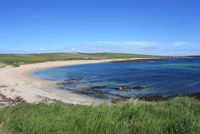
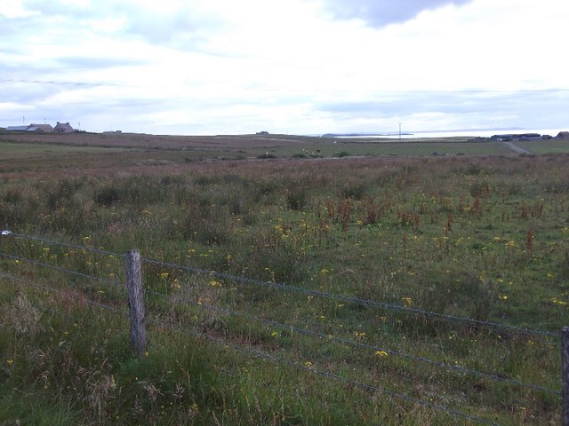
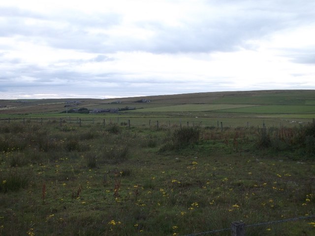
Aikers is a small settlement located on the island of Orkney, situated off the northeastern coast of Scotland. It is part of the wider parish of Stenness and falls within the local authority area of Orkney Islands Council. Aikers is nestled between the towns of Finstown and Stenness, and it enjoys a picturesque setting surrounded by rolling green hills and farmland.

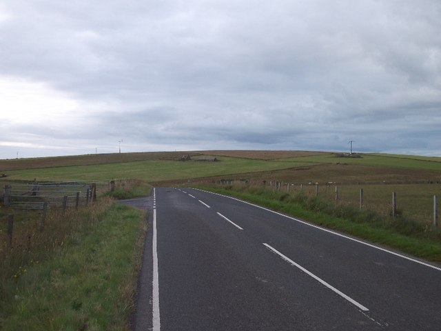
The settlement is primarily residential, with a small population of around 200 residents. It features a mix of traditional stone-built houses and more modern dwellings, creating a charming blend of old and new architecture. Aikers benefits from its proximity to the A965 road, which connects it to other parts of Orkney.

Despite its small size, Aikers boasts a strong sense of community and offers several amenities for its residents. These include a local convenience store, providing essential groceries and everyday items. Additionally, there is a primary school within the settlement, ensuring that young families have easy access to education.

The surrounding area of Aikers is abundant in natural beauty and historical sites. Notably, the famous Ring of Brodgar, a Neolithic stone circle, is just a short distance away. This UNESCO World Heritage site attracts visitors from around the world due to its cultural and historical significance.

Overall, Aikers is a peaceful and close-knit settlement, offering a tranquil lifestyle within a stunning natural landscape, and providing easy access to both local amenities and significant historical sites.

If you have any feedback on the listing, please let us know in the comments section below.
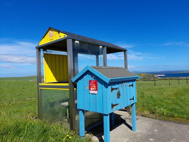
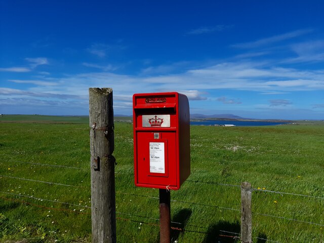
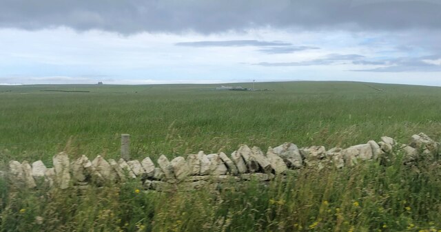
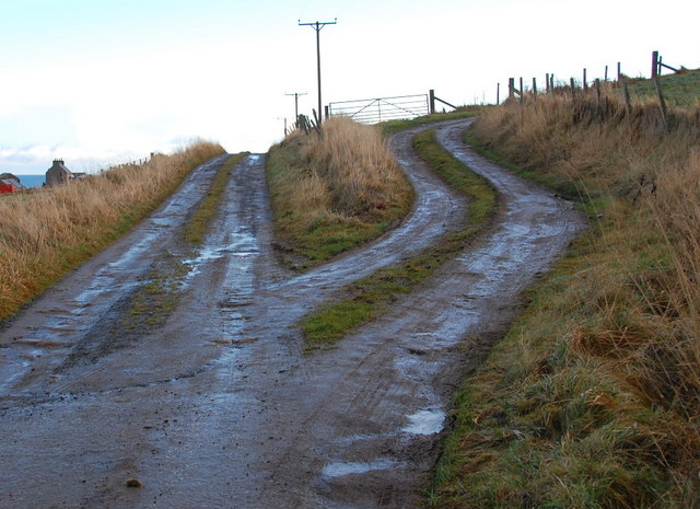
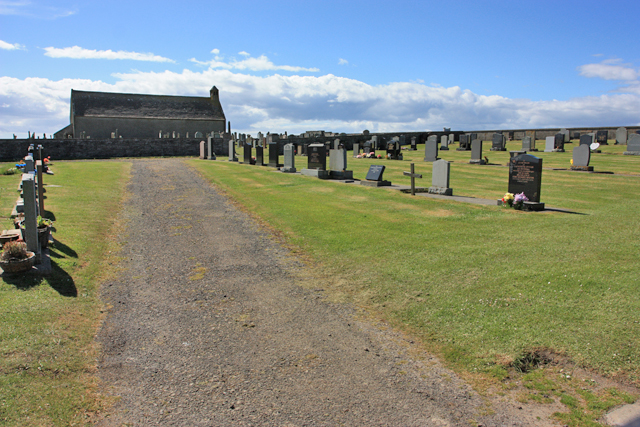
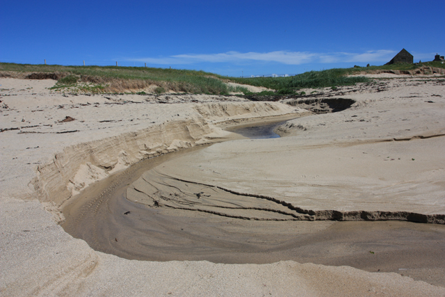
Aikers Images

Images are sourced within 2km of 58.803525/-2.9414483 or Grid Reference ND4591. Thanks to Geograph Open Source API. All images are credited.

Newark Bay A northward view of this grand bay, note the two people on the beach.  
The nearest water is labelled Newark Bay, beyond that is the rocky beach (with lively rock pools) named Langa Tang, and then comes Pool of Cletts.
Newark Bay
A northward view of this grand bay, note the two people on the beach. The nearest water is labelled Newark Bay, beyond that is the rocky beach (with lively rock pools) named Langa Tang, and then comes Pool of Cletts.
Near Cools, South Ronaldsay View westward from the A961.
Near Cools, South Ronaldsay
View westward from the A961.
Road to Lythes A pair of wire fences enclose a road leaving South Ronaldsay's spine road.
Road to Lythes
A pair of wire fences enclose a road leaving South Ronaldsay's spine road.
A961, South Ronaldsay
Ashley's Honesty Box, South Ronaldsay Eggs for sale by the bus shelter.
Ashley's Honesty Box, South Ronaldsay
Eggs for sale by the bus shelter.
Post Box on South Ronaldsay KW17 62. Royal Mail list this box as 'Widewall'.
Post Box on South Ronaldsay
KW17 62. Royal Mail list this box as 'Widewall'.
Straw bales near Widewall
Dry stone wall In the distance is the farm Quoyhorsetter with its own wind turbine
Dry stone wall
In the distance is the farm Quoyhorsetter with its own wind turbine
Solitary house in the middle of a field Wasbister farm to the right
Solitary house in the middle of a field
Wasbister farm to the right
No Mobile Required You don't need your mobile phone here with a relatively rare - these days - public phone box. Looking south on the A961 South Ronaldsay, Orkney.
No Mobile Required
You don't need your mobile phone here with a relatively rare - these days - public phone box. Looking south on the A961 South Ronaldsay, Orkney.
Nether Lythes lane junction Single track lane meets another single track lane. Nether lythes with Muckquoy beyond.
Nether Lythes lane junction
Single track lane meets another single track lane. Nether lythes with Muckquoy beyond.
Lythes Farm This must be the only place in the world to have a shed made from a wind turbine. The NEC Micon unit would normally sit at the top of a mast and have the rotating blades attached to it.
Lythes Farm
This must be the only place in the world to have a shed made from a wind turbine. The NEC Micon unit would normally sit at the top of a mast and have the rotating blades attached to it.
Newton, with Ward Hill in the background What looks like a new house.
Newton, with Ward Hill in the background
What looks like a new house.
Track junction near Stews Looking eastwards, at the end of the lane from Flaws, just beyond where the tarmac stops. The lower track leads to Stews.
Track junction near Stews
Looking eastwards, at the end of the lane from Flaws, just beyond where the tarmac stops. The lower track leads to Stews.
Stews near Flaws At the end of this particular road. looking eastwards.
Stews near Flaws
At the end of this particular road. looking eastwards.
South Ronaldsay telephone box Telephone box at Lythes road end with Ward Hill, 118 metres, beyond.
South Ronaldsay telephone box
Telephone box at Lythes road end with Ward Hill, 118 metres, beyond.
The cemetery at Kirkhouse Point This is a peaceful "final resting place" with a mile of unspoiled beach beyond the wall.
The cemetery at Kirkhouse Point
This is a peaceful "final resting place" with a mile of unspoiled beach beyond the wall.
Natural beach art, Kirkhouse These superb curves are caused by water from springs about 500 metres north.
Natural beach art, Kirkhouse
These superb curves are caused by water from springs about 500 metres north.
Show me another place!

Aikers is located at Grid Ref: ND4591 (Lat: 58.803525, Lng: -2.9414483)

Unitary Authority: Orkney Islands

Police Authority: Highlands and Islands

What 3 Words

///cult.scrubber.model. Near St Margaret's Hope, Orkney Islands

Nearby Locations

Vensilly Hill Aikers

Related Wikis

South Ronaldsay

South Ronaldsay (, also , Scots: Sooth Ronalshee) is one of the Orkney Islands off the north coast of Scotland. It is linked to the Orkney Mainland by...

St Margaret's Hope

St Margaret's Hope is a village in the Orkney Islands, off the north coast of Scotland. It is known locally as The Hope or The Hup. With a population...

Herston, Orkney

Herston is a village on South Ronaldsay, Orkney, Scotland, United Kingdom. Herston is historically a fishing village but its only industry to speak of...

HMS Opal (1915)

HMS Opal was an Admiralty M-class destroyer of the Royal Navy. She served in the First World War following her construction at Sunderland in 1915. Attached...

Hoxa, Orkney

Hoxa is a small settlement on the island of South Ronaldsay in the Orkney Islands north of mainland Scotland. Hoxa is located 1+1⁄4 miles (2.0 km) west...

Grim Ness

Grimness is a cliff-girt headland on the island of South Ronaldsay, in the Orkney archipelago of Scotland. It is located between Honeysgeo and Skipi Geo...

Burray

Burray () is one of the Orkney Islands in Scotland. It lies to the east of Scapa Flow and is one of a chain of islands linked by the Churchill Barriers...

Hunda

Hunda is an uninhabited island in the Orkney archipelago in Scotland. It is 100 hectares (0.39 sq mi) in extent and rises to 42 metres (138 ft) above sea...

Nearby Amenities

Located within 500m of 58.803525,-2.9414483
Aikers
Place: locality
Lat/Long: 58.8033944/-2.9403101
Eastside
Place: locality
Lat/Long: 58.7994088/-2.9394066
Generator Method: wind_turbine
Generator Source: wind
Generator Type: horizontal_axis
Power: generator
Lat/Long: 58.8053003/-2.9342669
Power: pole
Lat/Long: 58.804365/-2.9361848
Power: pole
Lat/Long: 58.8047057/-2.936976
Power: pole
Lat/Long: 58.805028/-2.9376009
Power: pole
Lat/Long: 58.8057393/-2.9389447
Power: pole
Lat/Long: 58.8064089/-2.9402965
Power: pole
Lat/Long: 58.8068882/-2.9404816
Power: pole
Lat/Long: 58.8074202/-2.940672
Power: pole
Lat/Long: 58.8079766/-2.9409324
Power: pole
Lat/Long: 58.8027787/-2.9421607
Power: pole
Lat/Long: 58.8020771/-2.9427481
Power: pole
Lat/Long: 58.80167/-2.9435179
Power: pole
Lat/Long: 58.801199/-2.9443762
Power: pole
Lat/Long: 58.8007586/-2.944454
Power: pole
Lat/Long: 58.8003056/-2.944521
Power: pole
Lat/Long: 58.800043/-2.945382
Power: pole
Lat/Long: 58.803704/-2.9413748
Power: pole
Lat/Long: 58.8040903/-2.9406023
Power: pole
Lat/Long: 58.8045459/-2.9397976
Power: pole
Lat/Long: 58.8049794/-2.9389715
Power: pole
Lat/Long: 58.8053823/-2.9382366
Power: pole
Lat/Long: 58.8058296/-2.9374212
Power: pole
Lat/Long: 58.8062547/-2.9365897
Power: pole
Lat/Long: 58.8067659/-2.9356563
The data included in this document is from www.openstreetmap.org. The data is made available under ODbL.

Have you been to Aikers?

Leave your review of Aikers below (or comments, questions and feedback).