Adbury

Settlement in Hampshire Basingstoke and Deane

England

Adbury

Greenham Common The interesting looking Bunker Farm - The house is made of cob, a mixture of clay, stone and straw, and the walls are approx 3ft thick. The rest of the square is a mixture of woodland, farmland and the old Greenham Common Airbase.
Greenham Common Credit: Brendan and Ruth McCartney

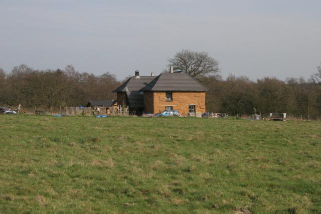
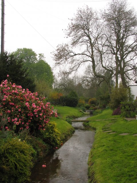
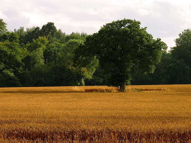
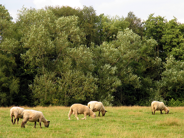
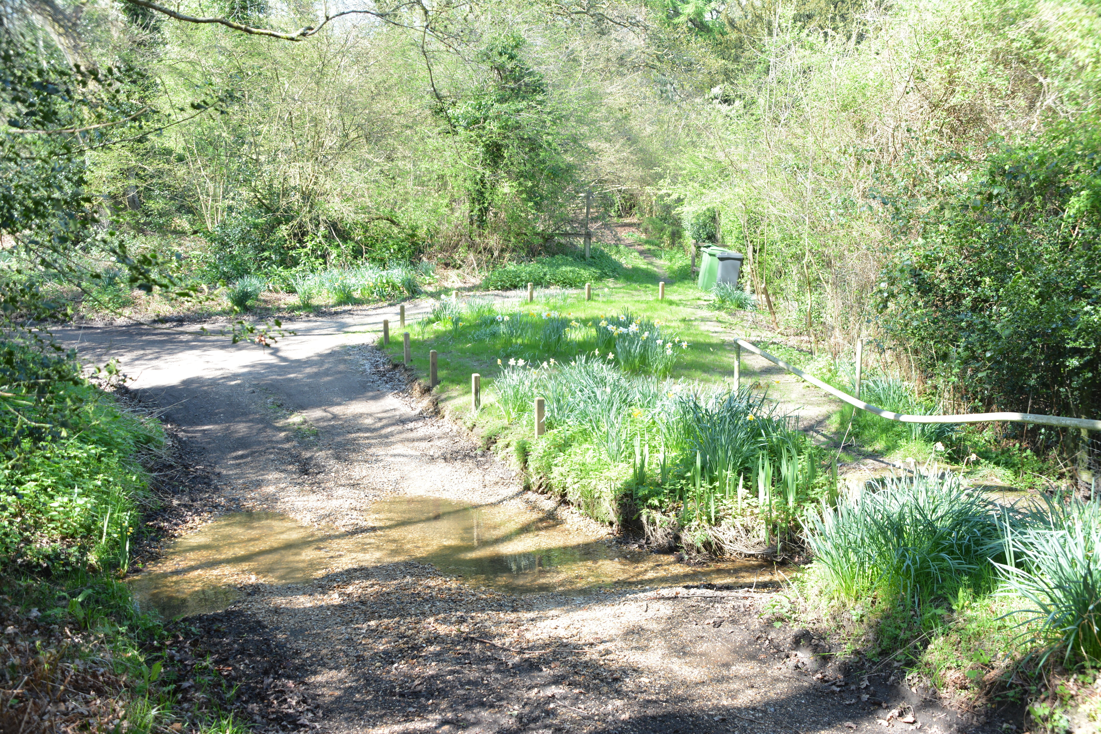
Adbury is a small village located in the county of Hampshire, England. Situated in the North Wessex Downs Area of Outstanding Natural Beauty, it is surrounded by picturesque countryside and offers a tranquil and idyllic setting for its residents.

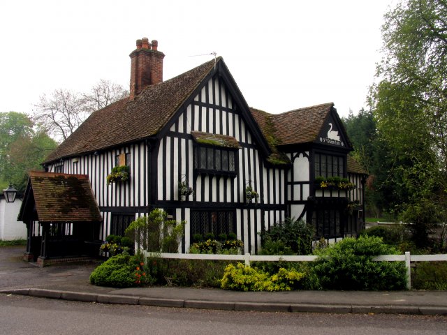
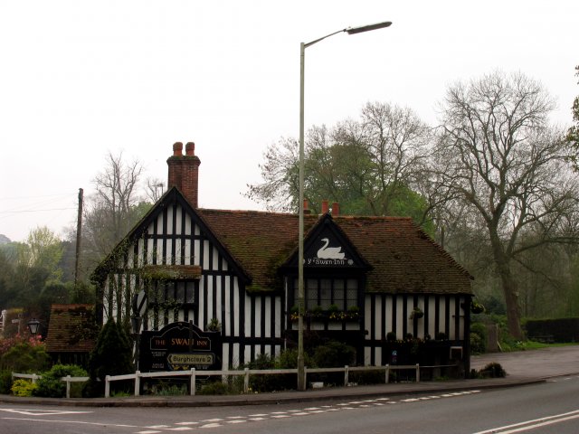
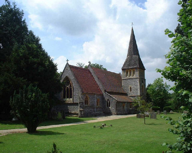
The village is home to a close-knit community, with a population of around 300 people. It is characterized by its quaint and traditional architecture, featuring charming thatched-roof cottages and historic buildings that date back several centuries. The local church, St. Mary's, is a notable landmark, boasting an impressive Norman tower.

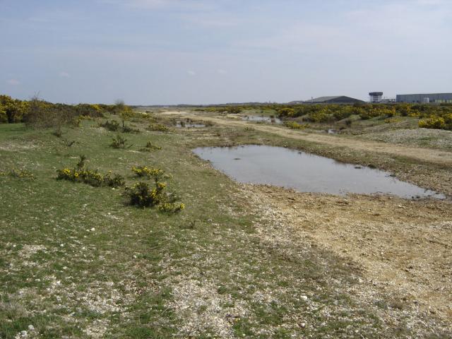
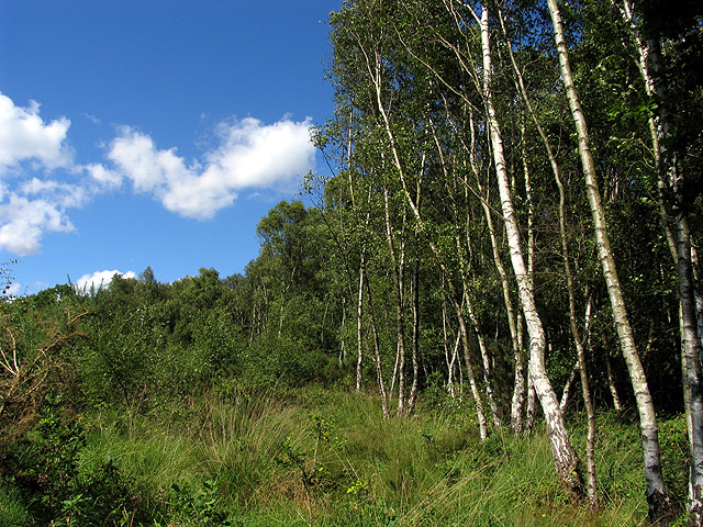
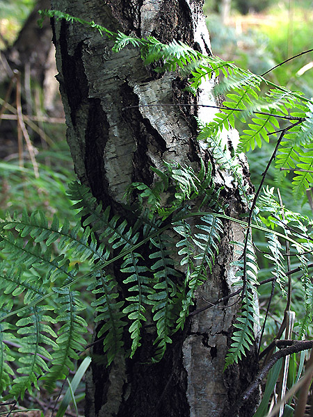
Adbury benefits from its rural location, providing ample opportunities for outdoor activities and exploration. The surrounding countryside offers scenic hiking and cycling trails, allowing residents and visitors to immerse themselves in the beauty of nature. The village is also known for its vibrant wildlife, with numerous species of birds and animals inhabiting the area.

Although Adbury is a small village, it has a strong sense of community spirit. Local events and gatherings are organized throughout the year, fostering a sense of belonging among its residents. The village has a primary school, ensuring convenient access to education for families with young children.

In terms of amenities, Adbury has a village shop that caters to the daily needs of its residents. However, for a wider range of services and facilities, the nearby town of Winchester is easily accessible, providing various shops, restaurants, and leisure activities.

Overall, Adbury offers a peaceful and picturesque lifestyle, with its stunning natural surroundings and tight-knit community contributing to its charm and appeal.

If you have any feedback on the listing, please let us know in the comments section below.
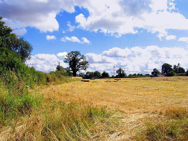
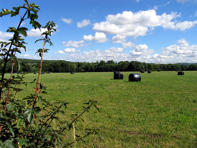
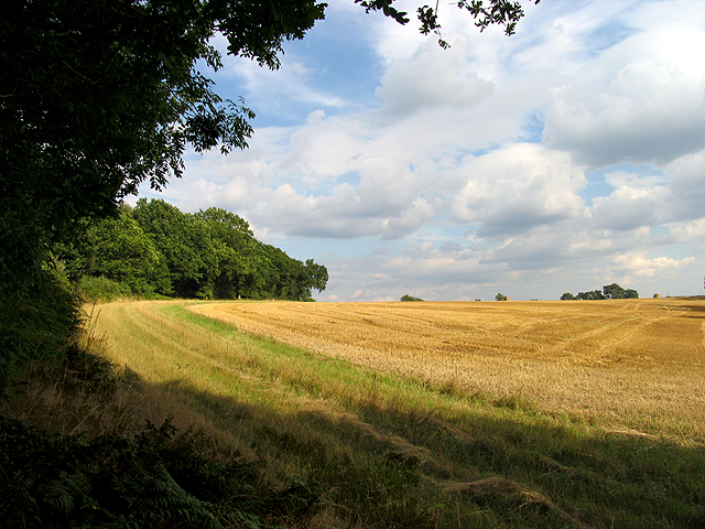
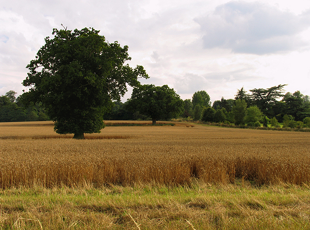
Adbury Images

Images are sourced within 2km of 51.36766/-1.3029053 or Grid Reference SU4863. Thanks to Geograph Open Source API. All images are credited.

Greenham Common The interesting looking Bunker Farm - The house is made of cob, a mixture of clay, stone and straw, and the walls are approx 3ft thick. The rest of the square is a mixture of woodland, farmland and the old Greenham Common Airbase.
Greenham Common
The interesting looking Bunker Farm - The house is made of cob, a mixture of clay, stone and straw, and the walls are approx 3ft thick. The rest of the square is a mixture of woodland, farmland and the old Greenham Common Airbase.
Greenham Common - Main Runway This is what is left of the main runway looking SE from N51°22.819 W001°17.641. The runway was dug up and used as hardcore for the A34 Newbury bypass.
Greenham Common - Main Runway
This is what is left of the main runway looking SE from N51°22.819 W001°17.641. The runway was dug up and used as hardcore for the A34 Newbury bypass.
Ye Olde Swan Inn This pub is situated below the Church in this square, at the intersection. This picture was taken looking south.
Ye Olde Swan Inn
This pub is situated below the Church in this square, at the intersection. This picture was taken looking south.
Ye Olde Swan Inn The pub lies in the extreme north of the square, in the eastern quadrant. As one comes down from the grid north of this one and as one passes over the riverbridge, the pub is in view between the B4640 and the junction with the road to Burgchlere, before it forks.
Ye Olde Swan Inn
The pub lies in the extreme north of the square, in the eastern quadrant. As one comes down from the grid north of this one and as one passes over the riverbridge, the pub is in view between the B4640 and the junction with the road to Burgchlere, before it forks.
The Stream alongside Ye Olde Swan Inn This stream runs diagonally through the square from  NE-SW and is on the eastern side of the pub, between the pub and the road into Newtown.
The Stream alongside Ye Olde Swan Inn
This stream runs diagonally through the square from NE-SW and is on the eastern side of the pub, between the pub and the road into Newtown.
Newtown Church Newtown Church
Newtown Church
Newtown Church
Helen Thomas Memorial Peace Garden Helen Thomas, an activist, died outside the main gates of Greenham Common Airbase at the Women's Peace Camp. She died in an incident involving a West Midlands Police horsebox on August the 5th, 1989. Helen would have set an historical precedent on August the 18th when she would have been the first person to have been tried in an English court in Welsh, her first language.
Helen Thomas Memorial Peace Garden
Helen Thomas, an activist, died outside the main gates of Greenham Common Airbase at the Women's Peace Camp. She died in an incident involving a West Midlands Police horsebox on August the 5th, 1989. Helen would have set an historical precedent on August the 18th when she would have been the first person to have been tried in an English court in Welsh, her first language.
Dove and Fountain: Peace Garden This dove was peacefully drinking water in this garden, on the edge of the Greenham Business Park. Helen Thomas was an activist and died at the Greenham Women's Peace camp by a police horse box the day before she was due to stand trial.
Dove and Fountain: Peace Garden
This dove was peacefully drinking water in this garden, on the edge of the Greenham Business Park. Helen Thomas was an activist and died at the Greenham Women's Peace camp by a police horse box the day before she was due to stand trial.
Entrance to the New Greenham Park This business park is situated across a couple of squares. This entrance, near the memorial garden is in the northern half of the square. The square is characterised by commercial enterprises, farmland, residences, recreational facilities and the Peace Garden.
Entrance to the New Greenham Park
This business park is situated across a couple of squares. This entrance, near the memorial garden is in the northern half of the square. The square is characterised by commercial enterprises, farmland, residences, recreational facilities and the Peace Garden.
Warehouse Road: New Greenham Park This square consists of Greenham Common, the business park and some copses.
Warehouse Road: New Greenham Park
This square consists of Greenham Common, the business park and some copses.
Silver Birch Woodland: Greenham This square is mostly woodland/plantation and farmland. The A339 also runs across the northern half of the square. This view of these silver birches is west of the lane that runs south off the roundabout in the north eastern corner of the square.
Silver Birch Woodland: Greenham
This square is mostly woodland/plantation and farmland. The A339 also runs across the northern half of the square. This view of these silver birches is west of the lane that runs south off the roundabout in the north eastern corner of the square.
Silver Birch: Bark and Bracken A closeup of the birch bark . This birch copse is also overgrown with bracken.
Silver Birch: Bark and Bracken
A closeup of the birch bark . This birch copse is also overgrown with bracken.
Haymaking near Greenham This field was in the process of being mown for hay. This square contains some of the village of Bishops Green and is mostly farmland. This field is in the western half of the square, near the intersection of the minor road and Hyde Lane.
Haymaking near Greenham
This field was in the process of being mown for hay. This square contains some of the village of Bishops Green and is mostly farmland. This field is in the western half of the square, near the intersection of the minor road and Hyde Lane.
Wrapped Hay near Bishop's Green This square is mostly farmland. This farmland east of Hyde Lane, is ahead of the other fields in this square.
Wrapped Hay near Bishop's Green
This square is mostly farmland. This farmland east of Hyde Lane, is ahead of the other fields in this square.
Farmland near Newtown This field is in the centre of the square, south of Sydonton Common.
Farmland near Newtown
This field is in the centre of the square, south of Sydonton Common.
Farmland in Newtown This field is in the eastern half of the square between the edge of the square and Newtown house.
Farmland in Newtown
This field is in the eastern half of the square between the edge of the square and Newtown house.
Farmland near Newtown This field is in the north western section of the square, south of the road. The bearing looks more or less south east towards Arbuthnot Wood.
Farmland near Newtown
This field is in the north western section of the square, south of the road. The bearing looks more or less south east towards Arbuthnot Wood.
Pasture near Newtown These sheep were grazing in pasture in the north eastern section of the square. The bearing is more or less north, looking towards Rosemore Copse.
Pasture near Newtown
These sheep were grazing in pasture in the north eastern section of the square. The bearing is more or less north, looking towards Rosemore Copse.
Show me another place!

Adbury is located at Grid Ref: SU4863 (Lat: 51.36766, Lng: -1.3029053)

Administrative County: Hampshire

District: Basingstoke and Deane

Police Authority: Hampshire

What 3 Words

///tickling.sofas.fragments. Near Greenham, Berkshire

Related Wikis

Adbury

Adbury is a village in Hampshire, United Kingdom. The settlement is within the civil parish of Burghclere, and is located approximately 2.5 miles (4.0...

Aldern Bridge

Aldern Bridge is a hamlet in Hampshire, United Kingdom. The settlement is within the civil parish of Burghclere, and is located approximately 2.3 miles...

Newtown, Hampshire

Newtown is a village and civil parish in the English county of Hampshire, about 1+1⁄2 miles (2.4 km) south of Newbury, Berkshire. == History == In the...

Sandleford Priory (country house)

Sandleford Priory is a largely 18th century country house at Sandleford in the civil parish of Greenham in the English county of Berkshire. It incorporates...

St Gabriel's School

St Gabriel's School is a private co-educational day school (Nursery, Junior School, Senior School & Sixth Form) located at Sandleford Priory in Sandleford...

Bishop's Green

Bishops Green is a village in the English county of Hampshire, on the border with Berkshire. == History == Bishops Green expanded greatly during World...
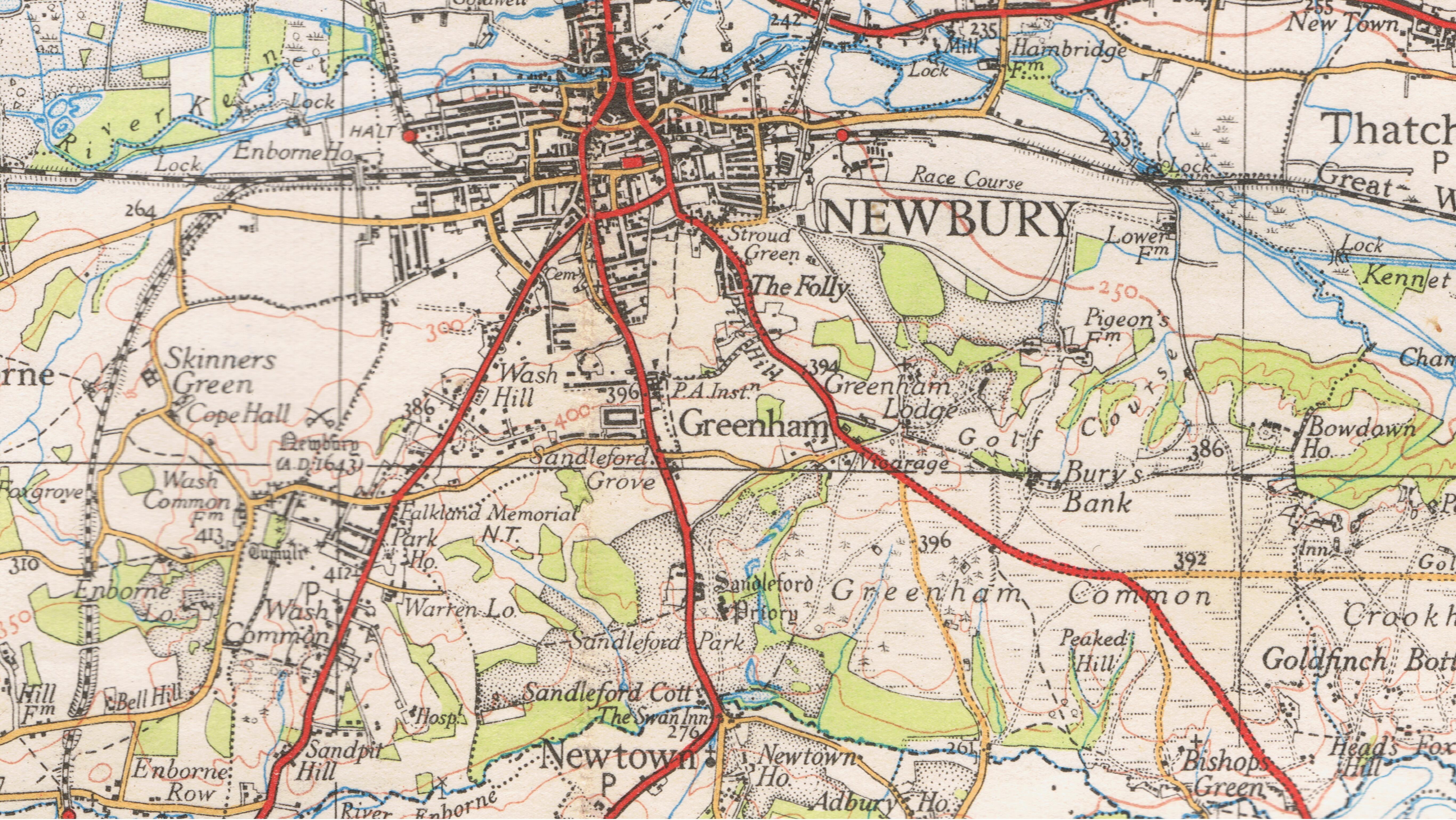
Sandleford

Sandleford is a hamlet and former parish in the English county of Berkshire. Since at least 1924, the settlement has been within the civil parish of Greenham...

Herbert Plantation

Herbert Plantation is a 25.6-hectare (63-acre) Local Nature Reserve north of Burghclere in Hampshire. It is owned by Hampshire County Council and managed...

Related Videos

Walking Through a Victorian Christmas Fayre in Newbury, United Kingdom

Join me walking around the Victorian Christmas Fayre in Newbury, Berkshire. We pass street entertainers, Christmas lights, ...

Newbury Town Centre | 4K Walking Tour

Newbury is a market town in West Berkshire, England, in the valley of the River Kennet. It is 26 miles south of Oxford and 20 miles ...

Visit to Newbury | Newbury Walking Tour | Newbury UK | Newbury Berkshire England | travel Newbury

welcome back to my channel uk ki life vlogs visit to Newbury in UK | Newbury Walking Tour | England in UK | one day Tour ...

Nearby Amenities

Located within 500m of 51.36766,-1.3029053
The data included in this document is from www.openstreetmap.org. The data is made available under ODbL.

Have you been to Adbury?

Leave your review of Adbury below (or comments, questions and feedback).