Adamsdown
Settlement in Glamorgan
Wales
Adamsdown
Adamsdown is a vibrant and culturally diverse neighborhood located in the heart of Cardiff, Glamorgan. Situated just east of the city center, it covers an area of approximately 0.6 square miles. The community is known for its rich history and close-knit community spirit.
Historically, Adamsdown was a working-class area, primarily home to industrial workers in the 19th and 20th centuries. Today, it is a melting pot of cultures, with a large number of residents from various backgrounds, including Welsh, English, Asian, and Eastern European.
The neighborhood offers a range of amenities, including shops, cafes, restaurants, and local businesses. The Adamsdown Community Garden is a popular spot for residents to relax and enjoy nature. The area is also well-served by public transportation, with several bus routes passing through, providing easy access to other parts of the city.
Education is highly valued in Adamsdown, and there are several schools within the neighborhood, catering to students of different ages. The community also benefits from its proximity to Cardiff University and Cardiff Metropolitan University, attracting students and academics to the area.
Adamsdown is known for its strong sense of community, with various community groups and initiatives aimed at improving the quality of life for residents. The Adamsdown Environmental Action Group, for example, works to enhance the local environment and promote sustainable living practices.
Overall, Adamsdown is a lively and diverse neighborhood that offers a range of amenities, a strong community spirit, and a rich history, making it an attractive place to live and visit in Glamorgan.
If you have any feedback on the listing, please let us know in the comments section below.
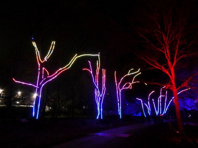
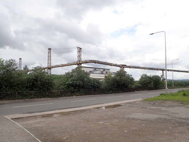
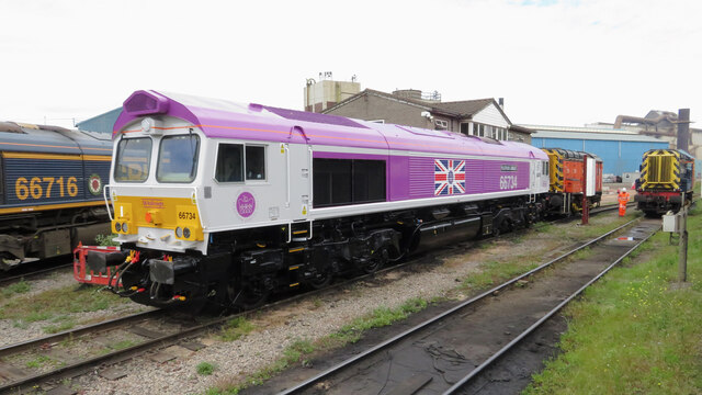
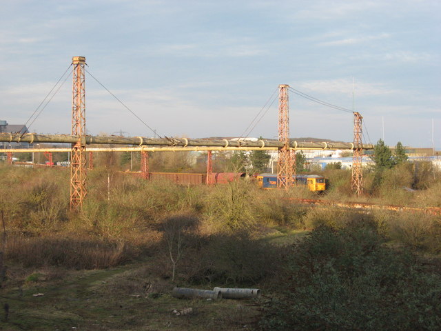
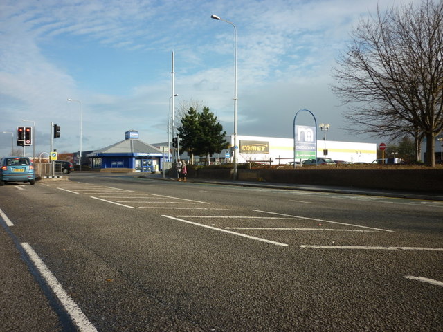
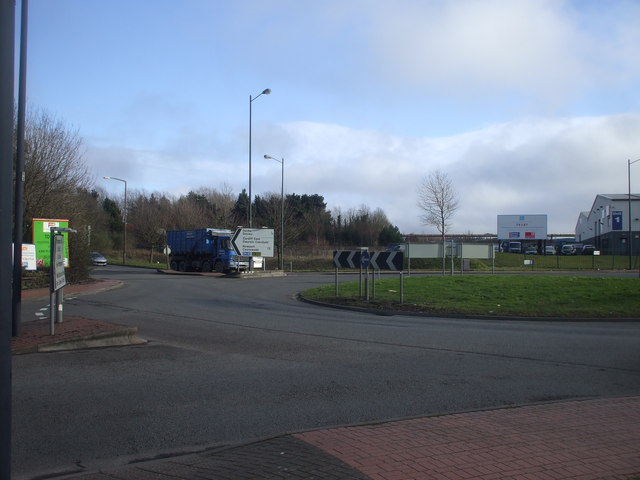
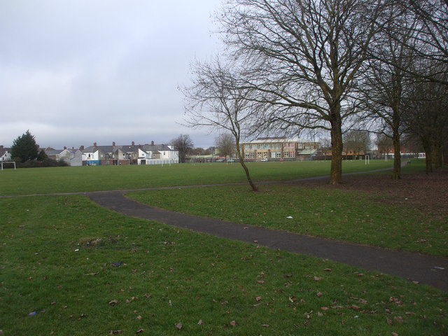
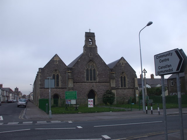
Adamsdown Images
Images are sourced within 2km of 51.481426/-3.1660194 or Grid Reference ST1976. Thanks to Geograph Open Source API. All images are credited.


Adamsdown is located at Grid Ref: ST1976 (Lat: 51.481426, Lng: -3.1660194)
Unitary Authority: Cardiff
Police Authority: South Wales
What 3 Words
///heave.lower.mining. Near Cardiff
Related Wikis

Adam Street railway station
Adam Street railway station, was a railway station in Cardiff, and was one of the original termini of the Rhymney Railway, it was opened on 31 March 1858...

HM Prison Cardiff
HM Prison Cardiff (Welsh: Carchar Caerdydd EF) is a Category B men's prison, located in the Adamsdown area of Cardiff, Wales. The prison is operated by...

Cardiff Reform Synagogue
Cardiff Reform Synagogue (Welsh: Synagog Ddiwygiedig Caerdydd; formerly Cardiff New Synagogue; Welsh: Synagog Newydd Caerdydd) is a synagogue in Cardiff...
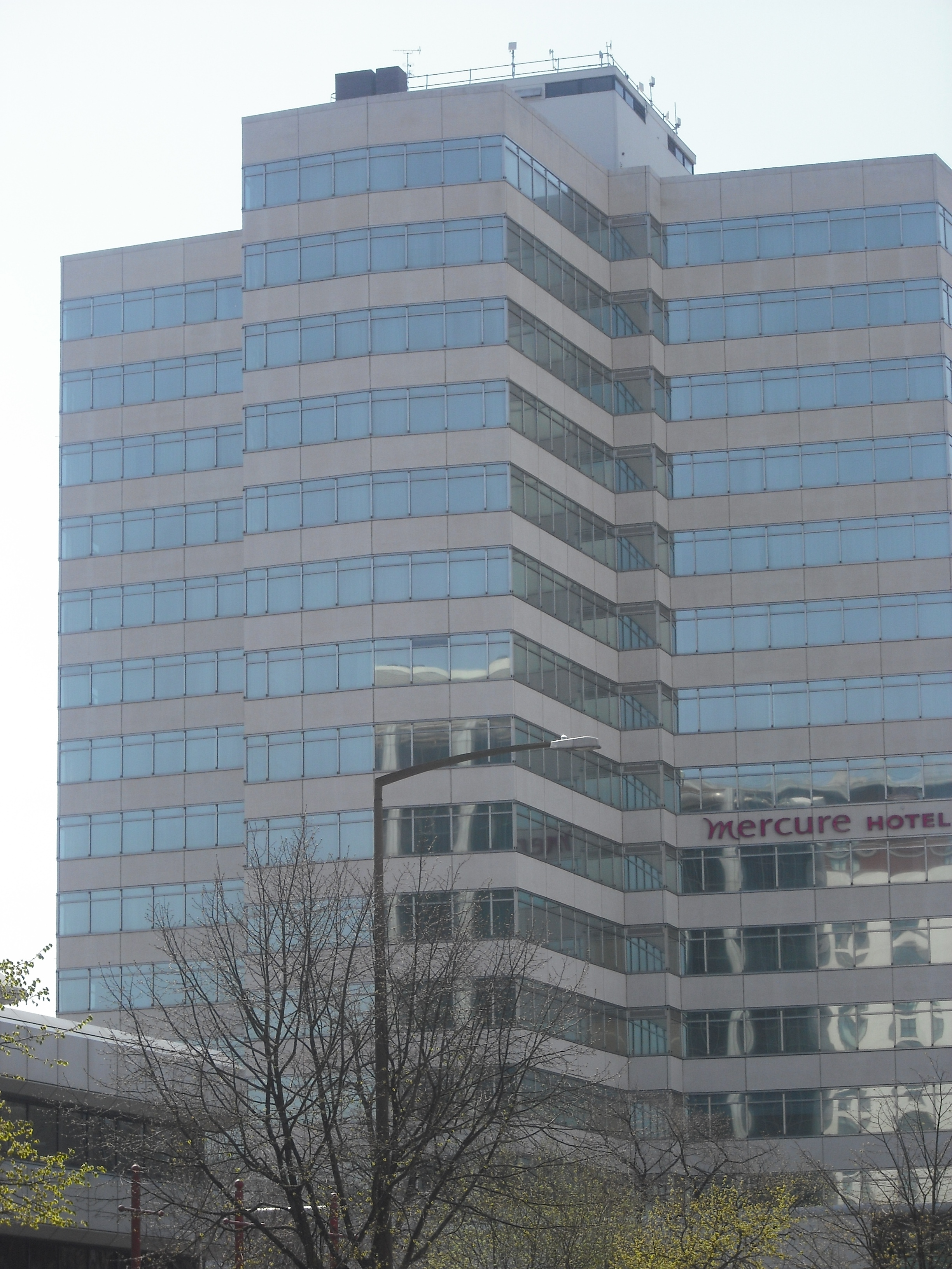
Holland House, Cardiff
Holland House, formerly called Julian Hodge House, is a high-rise hotel on Newport Road near the centre of Cardiff, Wales. Originally an office block,...
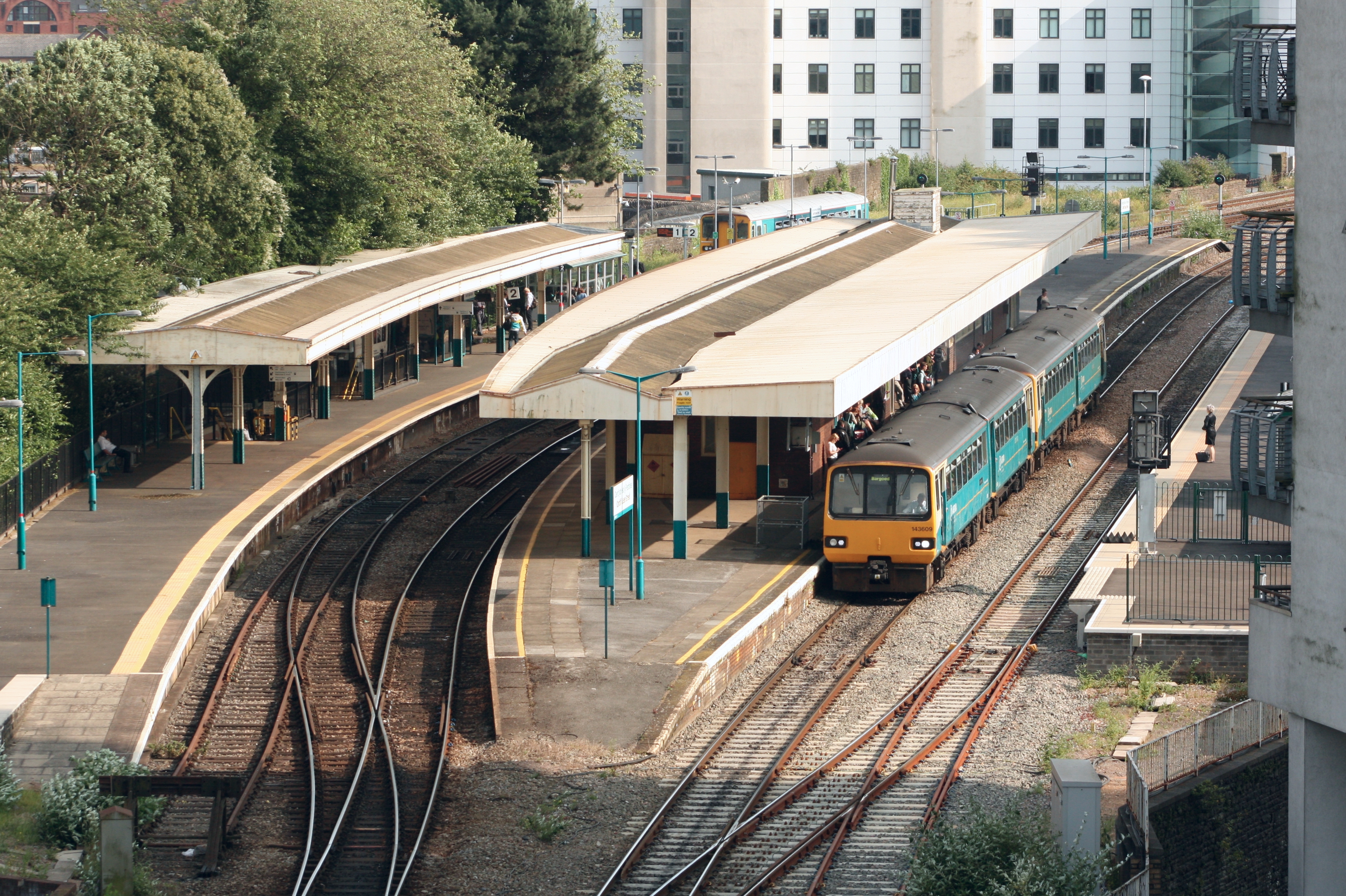
Cardiff Queen Street railway station
Cardiff Queen Street railway station (Welsh: Caerdydd Heol y Frenhines) is a railway station serving the north and east of Central Cardiff, Wales. It is...
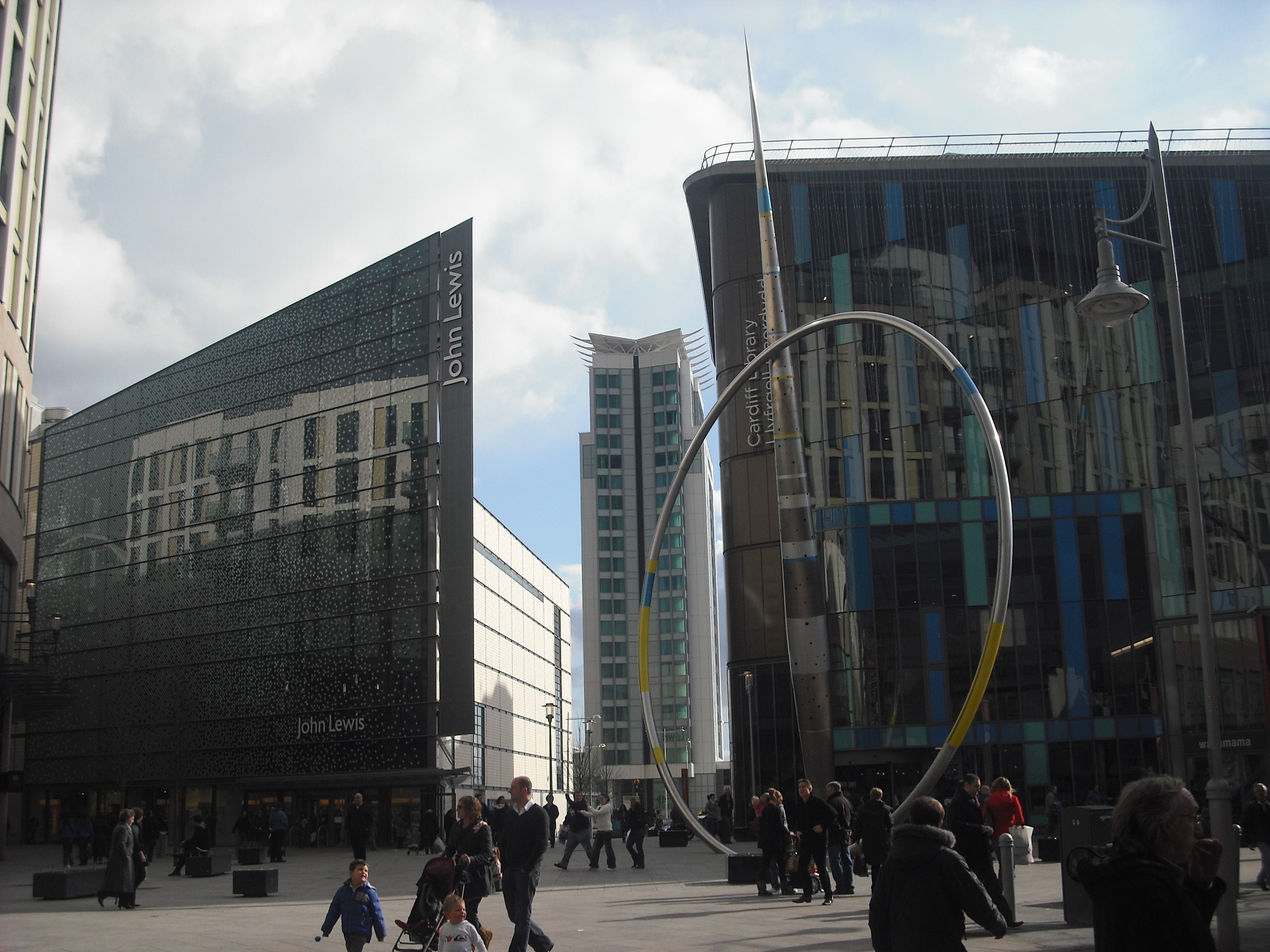
Cardiff city centre
Cardiff city centre (Welsh: Canol Dinas Caerdydd) is the city centre and central business district of Cardiff, Wales. The area is tightly bound by the...

Cardiff Metropolitan University
Cardiff Metropolitan University (Welsh: Prifysgol Metropolitan Caerdydd), formerly University of Wales Institute, Cardiff (UWIC; Welsh: Athrofa Prifysgol...

Cardiff Sixth Form College
Cardiff Sixth Form College, abbreviated to CSFC, is an independent mixed education sixth form college in Cardiff, Wales for 15- to 19-year-olds. The college...
Nearby Amenities
Located within 500m of 51.481426,-3.1660194Have you been to Adamsdown?
Leave your review of Adamsdown below (or comments, questions and feedback).