Splott
Settlement in Glamorgan
Wales
Splott
Splott is a vibrant and diverse district located in the city of Cardiff, in the historical county of Glamorgan, Wales. Situated to the east of the city center, it covers approximately 1.5 square miles and is bordered by Adamsdown, Tremorfa, and Roath.
Originally an industrial area, Splott experienced significant growth during the 19th and early 20th centuries due to the expansion of coal mining and the docks. Its name is believed to have derived from the Welsh word "ysplot" meaning "spotted" or "speckled," possibly referring to the patchwork of fields and cottages that once existed in the area. Today, Splott is primarily a residential neighborhood with a mix of Victorian terraced houses, post-war housing estates, and modern apartment buildings.
Splott benefits from excellent transport links, with regular bus services connecting it to the city center and neighboring areas. The district also has its own train station, Splott Park, providing further convenience for commuters. The local community is served by several primary schools, as well as Cardiff's largest secondary school, Eastern High School.
The district boasts a range of amenities to cater to residents' needs, including a library, community center, and several parks and green spaces. Splott Park is particularly popular, offering recreational facilities such as a children's play area, football pitches, and a multi-use games area.
Splott has a strong sense of community, with various local groups and initiatives promoting social cohesion and engagement. The Splott Market, held every Saturday, is a well-known gathering place for locals and visitors alike, offering a diverse range of stalls selling fresh produce, clothing, and household goods.
Overall, Splott is an evolving and dynamic neighborhood that combines its industrial heritage with modern amenities, making it an attractive place to live and visit within the city of Cardiff.
If you have any feedback on the listing, please let us know in the comments section below.
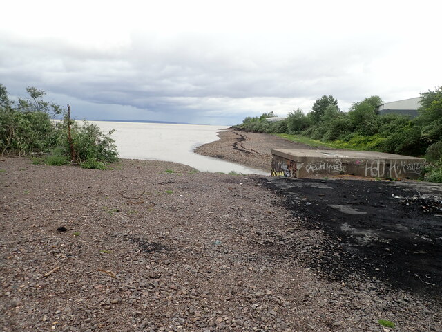
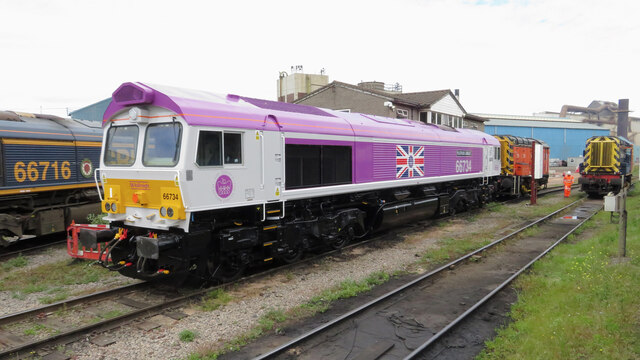
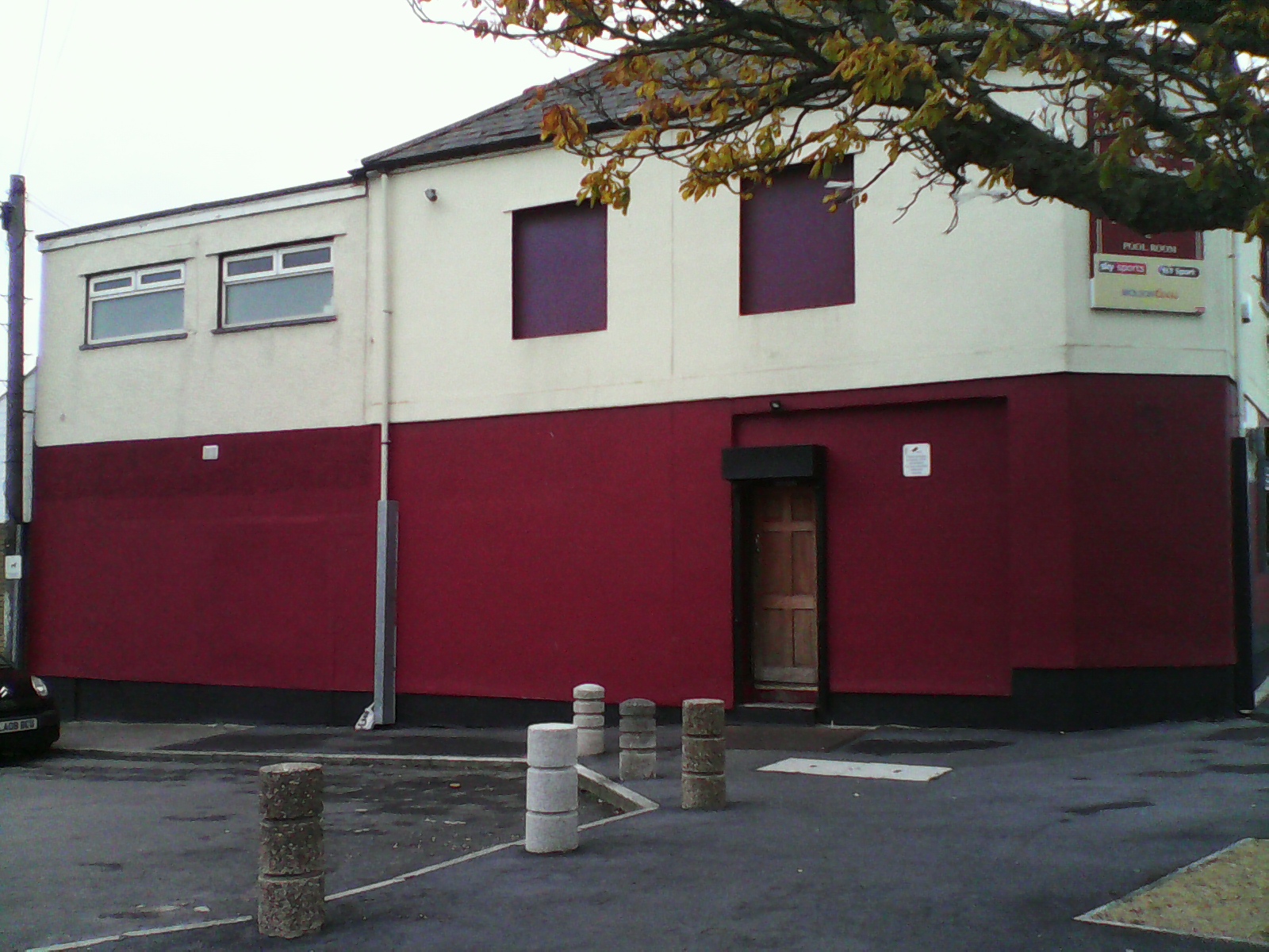
Splott Images
Images are sourced within 2km of 51.484459/-3.154645 or Grid Reference ST1976. Thanks to Geograph Open Source API. All images are credited.


Splott is located at Grid Ref: ST1976 (Lat: 51.484459, Lng: -3.154645)
Unitary Authority: Cardiff
Police Authority: South Wales
Also known as: Y Sblot
What 3 Words
///crazy.polite.spoke. Near Cardiff
Related Wikis
Roath railway station
Roath railway station was a short-lived railway station in Cardiff. It opened in 1899 and closed in 1917. The station was on the South Wales Main Line...

Splott
Splott (Welsh: Y Sblot) is a district and community in the south of the city of Cardiff, capital of Wales, just east of the city centre. It was built up...

St Saviour's Church, Splott
St Saviour's Church is a Church in Wales church in Splott, Cardiff, South Wales. == Early history == In the late 19th Century, a large number of churches...

Adamsdown
Adamsdown (Welsh: Waunadda or Y Sblot Uchaf) is an inner city area and community in the south of Cardiff, the capital city of Wales. Adamsdown is generally...
Nearby Amenities
Located within 500m of 51.484459,-3.154645Have you been to Splott?
Leave your review of Splott below (or comments, questions and feedback).