Adder's Moss

Settlement in Cheshire

England

Adder's Moss

Covered in pondweed An ornamental pond at Hare Hill gardens.
Covered in pondweed Credit: John H Darch

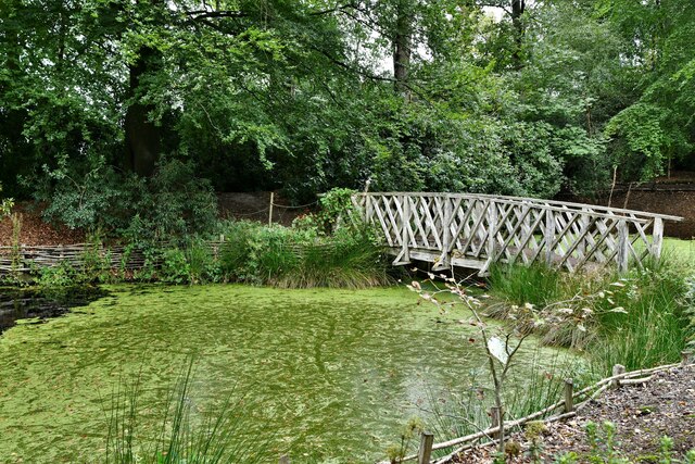
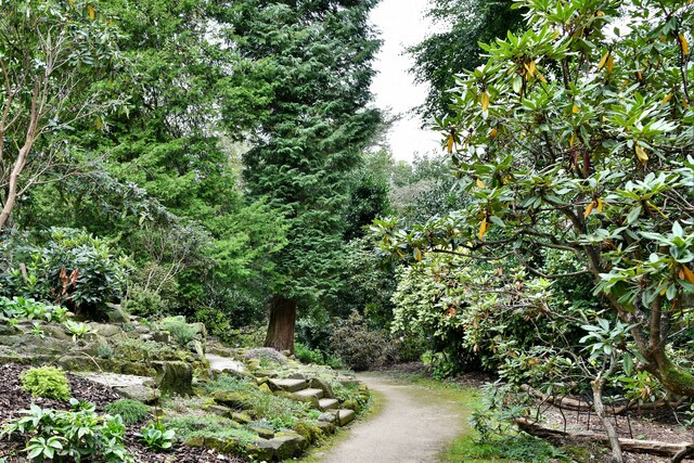
Adder's Moss is a small village located in the county of Cheshire, England. Situated about 5 miles south of the town of Congleton, it is nestled in the beautiful countryside of the Cheshire Plain. The village is surrounded by lush green fields, rolling hills, and picturesque farmland, offering a serene and tranquil atmosphere.

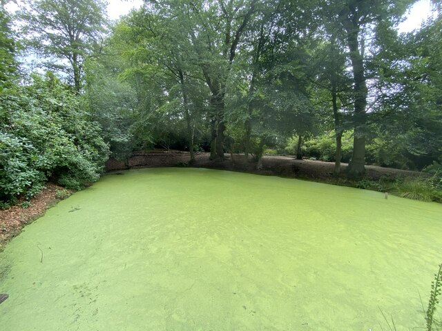
The name "Adder's Moss" is derived from the presence of mossy wetland areas and the occasional occurrence of adders, a species of venomous snakes, in the vicinity. However, it's important to note that adder sightings are extremely rare and pose no significant threat to residents or visitors.

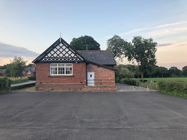
The village itself is quite small, with a close-knit community that values the rural lifestyle and natural beauty of the area. The local architecture is predominantly traditional, with charming cottages and farmhouses dotting the landscape. The village church, known as St. Mary's, is a notable landmark that adds to the historical and cultural significance of Adder's Moss.

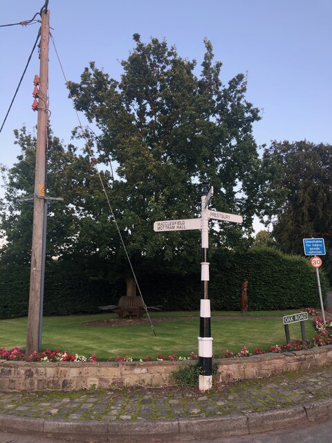
Despite its rural setting, Adder's Moss benefits from good road connections, making it easily accessible for those wishing to explore the surrounding areas. Nearby attractions include the scenic Peak District National Park, which offers stunning hiking trails and breathtaking views, as well as the bustling market town of Congleton, where visitors can find a range of shops, restaurants, and amenities.

Overall, Adder's Moss is a delightful village that offers a peaceful retreat from the hustle and bustle of city life, with its natural beauty and close community spirit making it a desirable place to reside or visit.

If you have any feedback on the listing, please let us know in the comments section below.
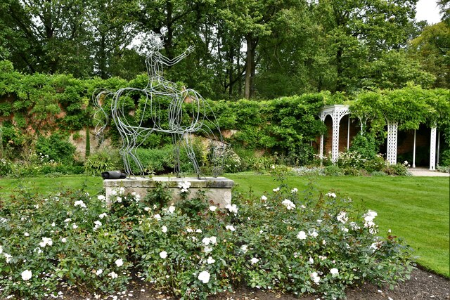
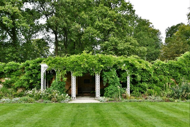
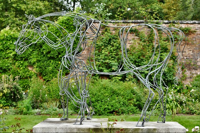
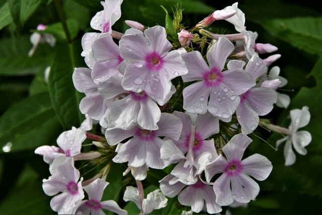
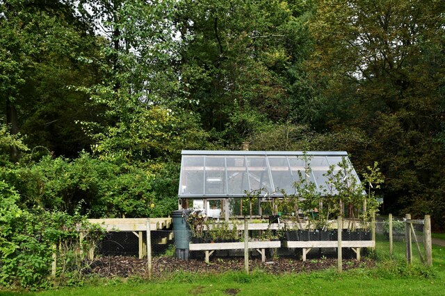
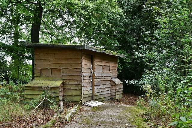
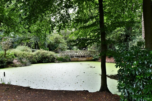
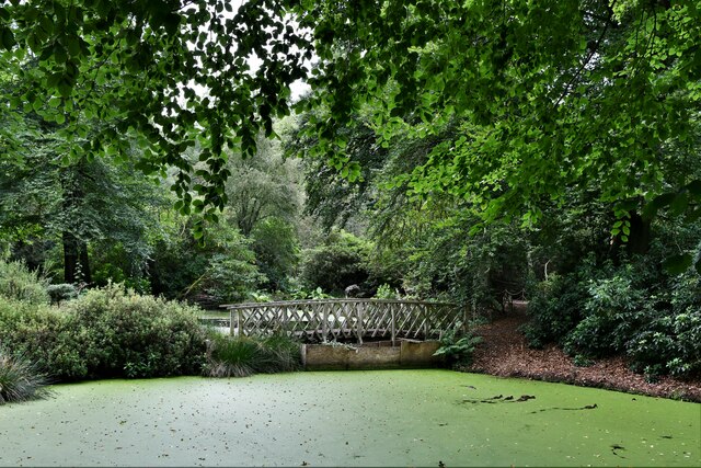
Adder's Moss Images

Images are sourced within 2km of 53.287275/-2.1976473 or Grid Reference SJ8676. Thanks to Geograph Open Source API. All images are credited.

Covered in pondweed An ornamental pond at Hare Hill gardens.
Covered in pondweed
An ornamental pond at Hare Hill gardens.
Over Alderley and Birtles Village Hall Known locally as The Reading Room
Over Alderley and Birtles Village Hall
Known locally as The Reading Room
Signpost at junction of Oak Road and Priest Lane, Mottram St Andrew These images are from <span class="nowrap"><a title="http://www.milestonesociety.co.uk/" rel="nofollow ugc noopener" href="http://www.milestonesociety.co.uk/">Link</a><img style="margin-left:2px;" alt="External link" title="External link - shift click to open in new window" src="https://s1.geograph.org.uk/img/external.png" width="10" height="10"/></span>
Signpost at junction of Oak Road and Priest Lane, Mottram St Andrew
These images are from LinkExternal link
Hare Hill (National Trust): Car park and entrance
Hare Hill (National Trust): Sculpture in the Walled Garden
Hare Hill (National Trust): Covered seating area in the Walled Garden
Hare Hill (National Trust): Sculpture in the Walled Garden
Hare Hill (National Trust): View from the covered seating area in the Walled Garden
Hare Hill (National Trust): Clematis  in the Walled Garden
Hare Hill (National Trust): Clematis in the Walled Garden
Hare Hill (National Trust): 'Phlox paniculata'  in the Walled Garden
Hare Hill (National Trust): 'Phlox paniculata' in the Walled Garden
Hare Hill (National Trust): Second hand books sold using a 'suggested donation' system
Hare Hill (National Trust): Small greenhouse
Hare Hill (National Trust): Bird hide looking out over a large number of bird feeders
Hare Hill (National Trust): Lake covered in green algae
Hare Hill (National Trust): Bridge over a lake covered in green algae
Hare Hill (National Trust): End of the Woodland Walk
Show me another place!

Adder's Moss is located at Grid Ref: SJ8676 (Lat: 53.287275, Lng: -2.1976473)

Unitary Authority: Cheshire East

Police Authority: Cheshire

What 3 Words

///dimes.overhead.disco. Near Mottram St Andrew, Cheshire

Related Wikis

Over Alderley

Over Alderley is a civil parish in Cheshire, England. It had a population of 318 at the 2011 Census.It includes the hamlets of Adders Moss, Adshead Green...

Hare Hill

Hare Hill Hall is a country house and a garden in the parish of Over Alderley, Cheshire, England. The house and grounds are privately owned, and the separate...

Alderley Edge Mines

The Alderley Edge Mines are located on the escarpment in Alderley Edge, Cheshire. Archaeological evidence indicates that copper mining took place here...

Geology of Alderley Edge

One of the classic locations for the study of Triassic sandstones in the UK is at Alderley Edge in Cheshire. Numerous scientists from the early 19th century...

Mottram St Andrew

Mottram St Andrew is a village and civil parish in Cheshire, England. At the 2011 census, it had a population of 493. An affluent village in the Cheshire...

Normans Hall

Normans Hall is a Tudor house which stands to the southwest of the village of Prestbury, Cheshire, England. It is an L-shaped house, the south range dating...

St Catherine's Church, Over Alderley

St Catherine's Church, Over Alderley, also known as St Catherine's Church, Birtles, stands in an isolated position in Birtles Lane, near to Birtles Hall...

Legh Hall

Legh Hall stands to the east of the village of Mottram St Andrew, Cheshire, England. It was built in the middle of the 18th century for William Brocklehurst...

Nearby Amenities

Located within 500m of 53.287275,-2.1976473
Barrier: stile
Lat/Long: 53.2849431/-2.1927544
Barrier: stile
Lat/Long: 53.284834/-2.1917563
Power: substation
Ref: 335263
Lat/Long: 53.2890182/-2.2032186
Barrier: stile
Lat/Long: 53.2893246/-2.2026011
Barrier: stile
Lat/Long: 53.2896232/-2.2022296
Barrier: stile
Lat/Long: 53.2901958/-2.2009517
Barrier: stile
Lat/Long: 53.2901147/-2.2010983
Barrier: stile
Lat/Long: 53.2906288/-2.1998886
Over Alderley
Place: village
Lat/Long: 53.2874211/-2.1985256
Power: pole
Lat/Long: 53.2847772/-2.2032377
Power: pole
Lat/Long: 53.2855198/-2.2023528
Power: pole
Lat/Long: 53.2859553/-2.2018251
Dunge Farm
Place: farm
Lat/Long: 53.2843254/-2.1958169
Bench
Lat/Long: 53.2872342/-2.1978099
Leisure: playground
Lat/Long: 53.2867999/-2.1982712
Mount Farm
Place: farm
Lat/Long: 53.2886716/-2.1970442
Arthur Burns & Son
Addr City: Over Alderley
Addr Postcode: SK10 4SJ
Addr Street: Prestbury Road
Shop: building_materials
Lat/Long: 53.2881593/-2.1991657
Harepasture Farm
Place: farm
Lat/Long: 53.2855839/-2.2017558
Adders Moss Farm
Place: farm
Lat/Long: 53.2902136/-2.2018626
Bus Stop
Adders Moss, School Lane / Festival Drive
Bus: yes
Naptan AtcoCode: 0600MA6131
Naptan Bearing: W
Naptan BusStopType: CUS
Naptan CommonName: Festival Drive
Naptan Crossing: Festival Drive
Naptan Indicator: cnr
Naptan Landmark: Festival Drive
Naptan LocalityName: Adders Moss
Naptan NaptanCode: chetpgw
Naptan ShortCommonName: Festival Drive
Naptan Street: School Lane
Network: Cheshire East Council
Operator: Ansa Transport
Public Transport: platform
Source: naptan_import
Lat/Long: 53.2872041/-2.1970844
Over Alderley Parish Council
Advertising: board
Lit: no
Support: pole
Lat/Long: 53.2872214/-2.1978019
The data included in this document is from www.openstreetmap.org. The data is made available under ODbL.

Have you been to Adder's Moss?

Leave your review of Adder's Moss below (or comments, questions and feedback).