Crambow Gully

Valley in Hampshire Basingstoke and Deane

England

Crambow Gully

Greenham Common The interesting looking Bunker Farm - The house is made of cob, a mixture of clay, stone and straw, and the walls are approx 3ft thick. The rest of the square is a mixture of woodland, farmland and the old Greenham Common Airbase.
Greenham Common Credit: Brendan and Ruth McCartney

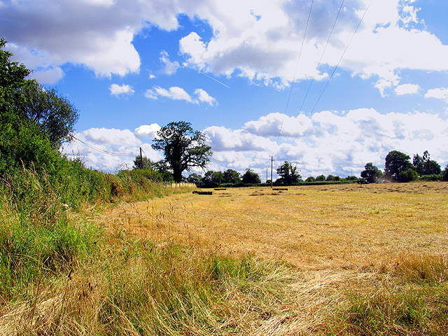
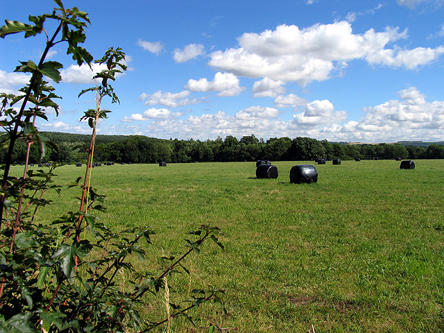
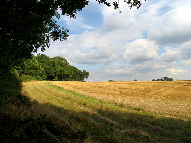
Crambow Gully is a picturesque valley located in the county of Hampshire, England. Situated amidst the rolling hills and lush greenery, this hidden gem offers a tranquil retreat away from the hustle and bustle of city life.

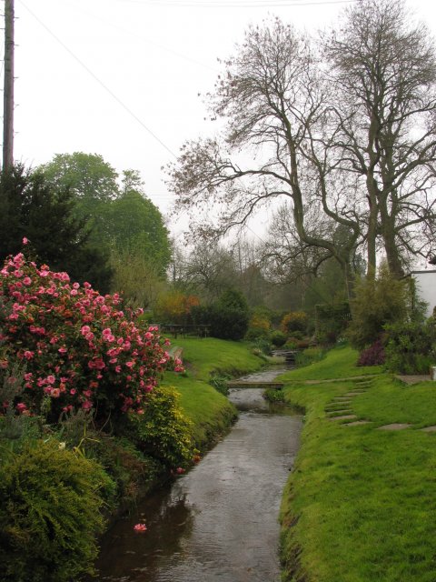
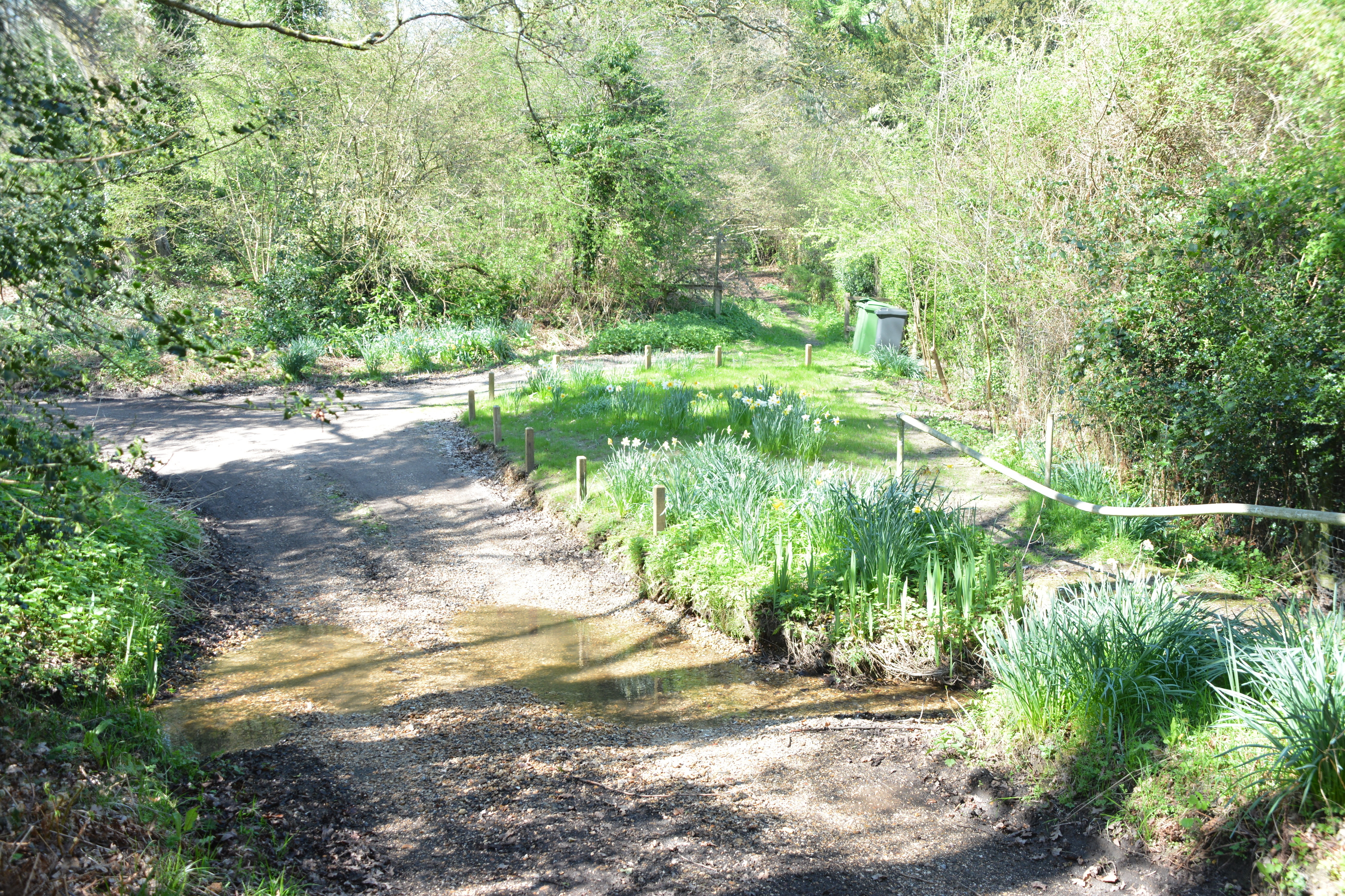
The gully is characterized by its deep ravine, formed by the meandering Crambow River over millions of years. The river flows gently through the valley, creating a soothing ambiance with its gentle babbling and occasional cascades. The crystal-clear waters are home to a variety of aquatic life, making it a favorite spot for nature enthusiasts and photographers.

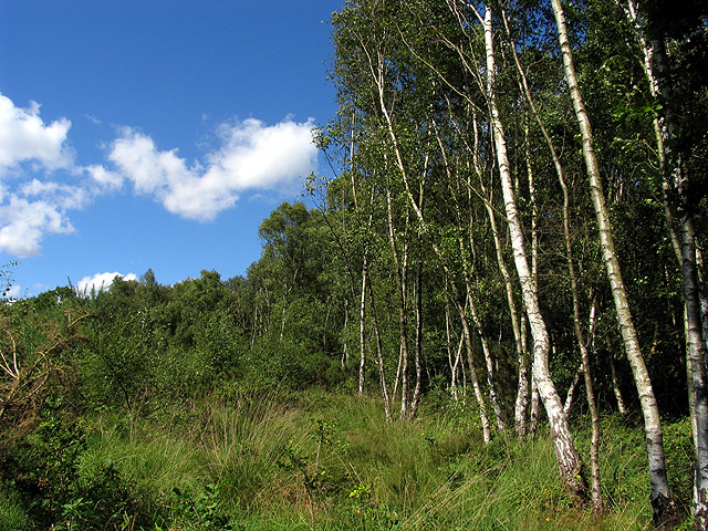
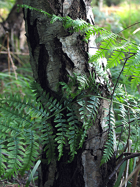
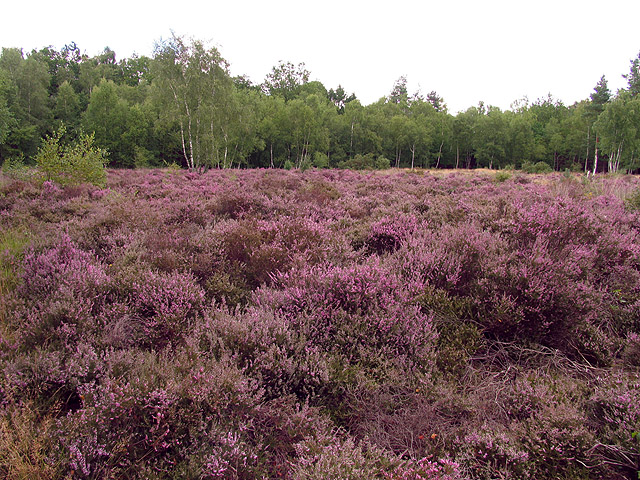
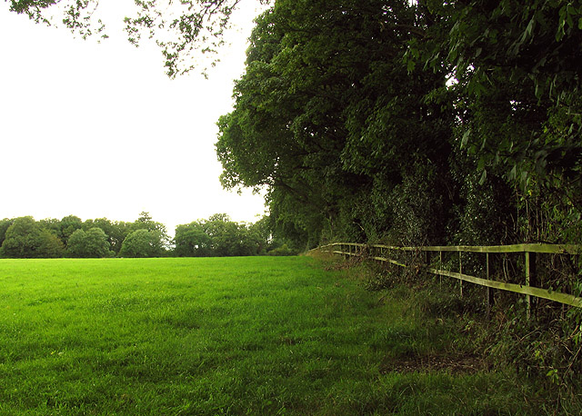
Surrounded by dense woodlands, Crambow Gully boasts an abundance of flora and fauna. The valley is carpeted with wildflowers during spring, creating a vibrant and colorful landscape. The trees that line the gully are predominantly oak and beech, providing a picturesque canopy that offers shade during the summer months.

For those who enjoy outdoor activities, Crambow Gully offers numerous opportunities. There are several well-maintained hiking trails that wind their way through the valley, allowing visitors to explore its natural beauty at their own pace. The gully is also a popular spot for birdwatching, with a wide variety of avian species calling it home.

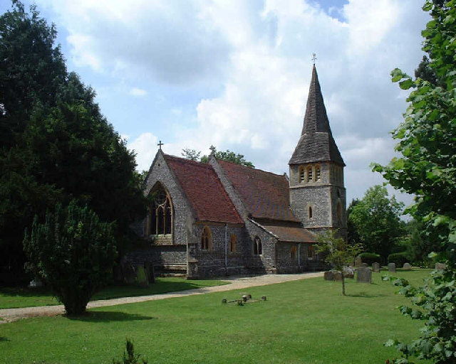
In addition to its natural attractions, Crambow Gully is also home to a quaint village that bears the same name. The village is known for its charming cottages, friendly locals, and a sense of community. Visitors can find a few small shops and cafes, providing a taste of rural life.

Overall, Crambow Gully, Hampshire, is a serene and idyllic destination that offers a perfect blend of natural beauty and rural charm.

If you have any feedback on the listing, please let us know in the comments section below.

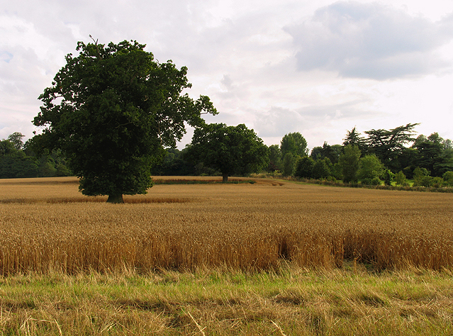
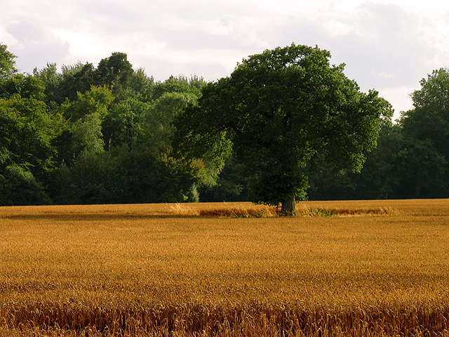
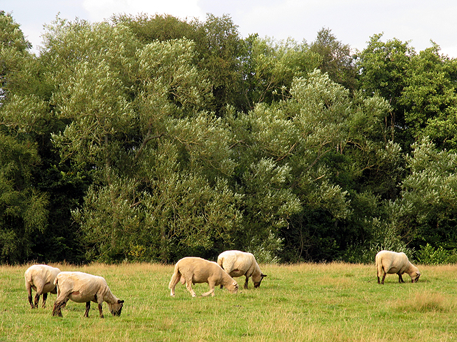
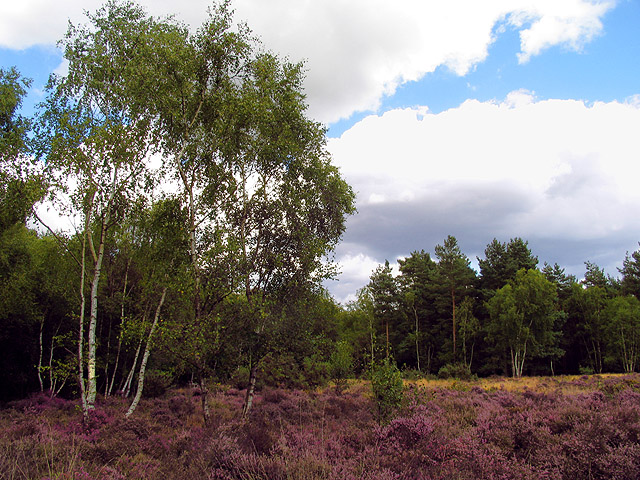
Crambow Gully Images

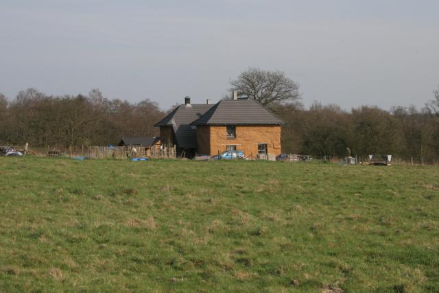
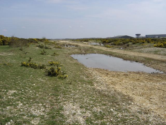
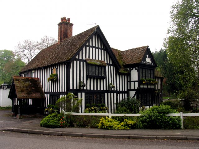
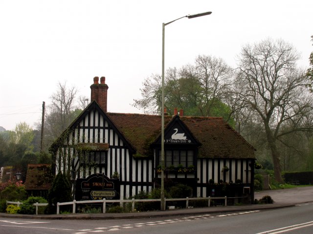
Images are sourced within 2km of 51.36519/-1.3078266 or Grid Reference SU4863. Thanks to Geograph Open Source API. All images are credited.

Greenham Common The interesting looking Bunker Farm - The house is made of cob, a mixture of clay, stone and straw, and the walls are approx 3ft thick. The rest of the square is a mixture of woodland, farmland and the old Greenham Common Airbase.
Greenham Common
The interesting looking Bunker Farm - The house is made of cob, a mixture of clay, stone and straw, and the walls are approx 3ft thick. The rest of the square is a mixture of woodland, farmland and the old Greenham Common Airbase.
Greenham Common - Main Runway This is what is left of the main runway looking SE from N51°22.819 W001°17.641. The runway was dug up and used as hardcore for the A34 Newbury bypass.
Greenham Common - Main Runway
This is what is left of the main runway looking SE from N51°22.819 W001°17.641. The runway was dug up and used as hardcore for the A34 Newbury bypass.
Ye Olde Swan Inn This pub is situated below the Church in this square, at the intersection. This picture was taken looking south.
Ye Olde Swan Inn
This pub is situated below the Church in this square, at the intersection. This picture was taken looking south.
Ye Olde Swan Inn The pub lies in the extreme north of the square, in the eastern quadrant. As one comes down from the grid north of this one and as one passes over the riverbridge, the pub is in view between the B4640 and the junction with the road to Burgchlere, before it forks.
Ye Olde Swan Inn
The pub lies in the extreme north of the square, in the eastern quadrant. As one comes down from the grid north of this one and as one passes over the riverbridge, the pub is in view between the B4640 and the junction with the road to Burgchlere, before it forks.
The Stream alongside Ye Olde Swan Inn This stream runs diagonally through the square from  NE-SW and is on the eastern side of the pub, between the pub and the road into Newtown.
The Stream alongside Ye Olde Swan Inn
This stream runs diagonally through the square from NE-SW and is on the eastern side of the pub, between the pub and the road into Newtown.
Newtown Church Newtown Church
Newtown Church
Newtown Church
Warehouse Road: New Greenham Park This square consists of Greenham Common, the business park and some copses.
Warehouse Road: New Greenham Park
This square consists of Greenham Common, the business park and some copses.
Silver Birch Woodland: Greenham This square is mostly woodland/plantation and farmland. The A339 also runs across the northern half of the square. This view of these silver birches is west of the lane that runs south off the roundabout in the north eastern corner of the square.
Silver Birch Woodland: Greenham
This square is mostly woodland/plantation and farmland. The A339 also runs across the northern half of the square. This view of these silver birches is west of the lane that runs south off the roundabout in the north eastern corner of the square.
Silver Birch: Bark and Bracken A closeup of the birch bark . This birch copse is also overgrown with bracken.
Silver Birch: Bark and Bracken
A closeup of the birch bark . This birch copse is also overgrown with bracken.
Haymaking near Greenham This field was in the process of being mown for hay. This square contains some of the village of Bishops Green and is mostly farmland. This field is in the western half of the square, near the intersection of the minor road and Hyde Lane.
Haymaking near Greenham
This field was in the process of being mown for hay. This square contains some of the village of Bishops Green and is mostly farmland. This field is in the western half of the square, near the intersection of the minor road and Hyde Lane.
Wrapped Hay near Bishop's Green This square is mostly farmland. This farmland east of Hyde Lane, is ahead of the other fields in this square.
Wrapped Hay near Bishop's Green
This square is mostly farmland. This farmland east of Hyde Lane, is ahead of the other fields in this square.
Farmland near Newtown This field is in the centre of the square, south of Sydonton Common.
Farmland near Newtown
This field is in the centre of the square, south of Sydonton Common.
Farmland in Newtown This field is in the eastern half of the square between the edge of the square and Newtown house.
Farmland in Newtown
This field is in the eastern half of the square between the edge of the square and Newtown house.
Farmland near Newtown This field is in the north western section of the square, south of the road. The bearing looks more or less south east towards Arbuthnot Wood.
Farmland near Newtown
This field is in the north western section of the square, south of the road. The bearing looks more or less south east towards Arbuthnot Wood.
Pasture near Newtown These sheep were grazing in pasture in the north eastern section of the square. The bearing is more or less north, looking towards Rosemore Copse.
Pasture near Newtown
These sheep were grazing in pasture in the north eastern section of the square. The bearing is more or less north, looking towards Rosemore Copse.
Heather field: Newtown A surprise heather field in wooded area (mostly birch) near Newtown Grange and Newtown. This field is in the north western section of the square. The picture was taken from the footpath.
Heather field: Newtown
A surprise heather field in wooded area (mostly birch) near Newtown Grange and Newtown. This field is in the north western section of the square. The picture was taken from the footpath.
Heather near Newtown This heather field is alongside woodland in the north western section of the square. The square is mostly woodland or plantation with isolated detached residences spread across the square, mostly off the minor road and Sheepwash Lane.
Heather near Newtown
This heather field is alongside woodland in the north western section of the square. The square is mostly woodland or plantation with isolated detached residences spread across the square, mostly off the minor road and Sheepwash Lane.
Paddock near Newtown This paddock in the south eastern section of the square belongs to a stud farm in the area. This square is mostly farmland with some detached residences along the lanes.
Paddock near Newtown
This paddock in the south eastern section of the square belongs to a stud farm in the area. This square is mostly farmland with some detached residences along the lanes.
Show me another place!

Crambow Gully is located at Grid Ref: SU4863 (Lat: 51.36519, Lng: -1.3078266)

Administrative County: Hampshire

District: Basingstoke and Deane

Police Authority: Hampshire

What 3 Words

///novels.corrupted.civil. Near Greenham, Berkshire

Related Wikis

Adbury

Adbury is a village in Hampshire, United Kingdom. The settlement is within the civil parish of Burghclere, and is located approximately 2.5 miles (4.0...

Newtown, Hampshire

Newtown is a village and civil parish in the English county of Hampshire, about 1+1⁄2 miles (2.4 km) south of Newbury, Berkshire. == History == In the...

Aldern Bridge

Aldern Bridge is a hamlet in Hampshire, United Kingdom. The settlement is within the civil parish of Burghclere, and is located approximately 2.3 miles...

Herbert Plantation

Herbert Plantation is a 25.6-hectare (63-acre) Local Nature Reserve north of Burghclere in Hampshire. It is owned by Hampshire County Council and managed...

Have you been to Crambow Gully?

Leave your review of Crambow Gully below (or comments, questions and feedback).