Eilean Trenach
Island in Argyllshire
Scotland
Eilean Trenach
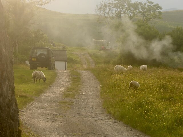
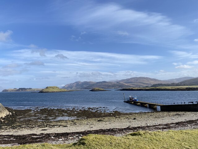
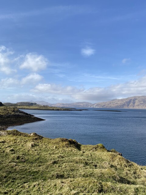
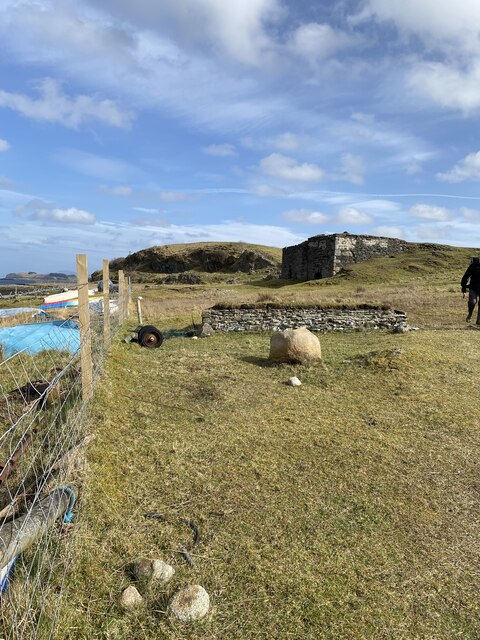
Eilean Trenach is a small island located in Argyllshire, Scotland. Situated in the Inner Hebrides, this picturesque island is known for its stunning natural beauty and tranquil atmosphere. The island covers an area of approximately 2 square miles and is mostly uninhabited, making it a perfect destination for those seeking peace and solitude.
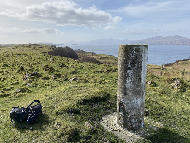
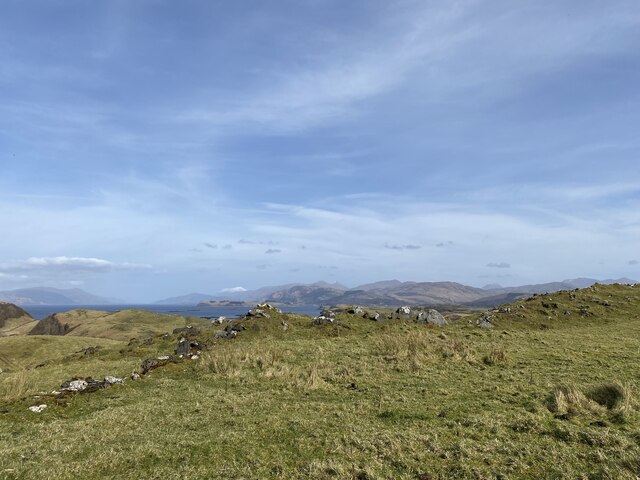
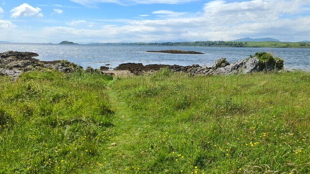
Eilean Trenach boasts a diverse landscape, with rugged cliffs, sandy beaches, and rolling hills. The island is covered in lush vegetation, including heather and wildflowers, providing a colorful backdrop to the surrounding sea. The coastline is dotted with caves and rock formations, making it a popular spot for wildlife enthusiasts and photographers.
The island is home to a variety of bird species, including puffins, guillemots, and razorbills, making it a haven for birdwatchers. Seals can often be spotted basking on the rocky shores, while dolphins and porpoises occasionally grace the waters surrounding the island.
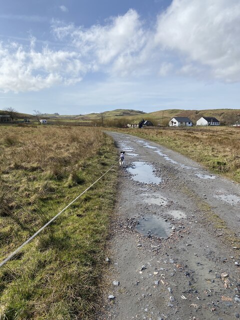
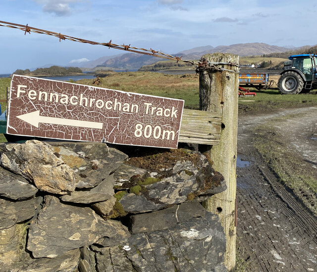
Access to Eilean Trenach is mainly by boat, with several ferry services available from nearby ports. Visitors can explore the island on foot, enjoying scenic walks along the coastline and through the rugged interior. There are no permanent settlements on the island, but visitors can find basic accommodation options, such as self-catering cottages or camping facilities.
Eilean Trenach offers a unique opportunity to experience the untouched beauty of the Scottish wilderness. Whether it’s admiring the breathtaking views, spotting wildlife, or simply enjoying the peace and quiet, this remote island is a hidden gem in Argyllshire.
If you have any feedback on the listing, please let us know in the comments section below.
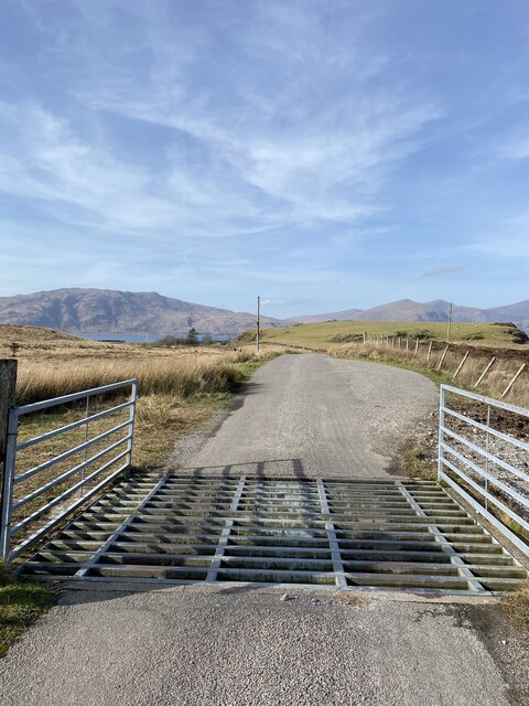
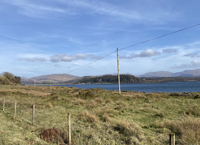
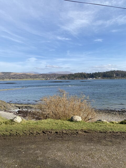
Eilean Trenach Images
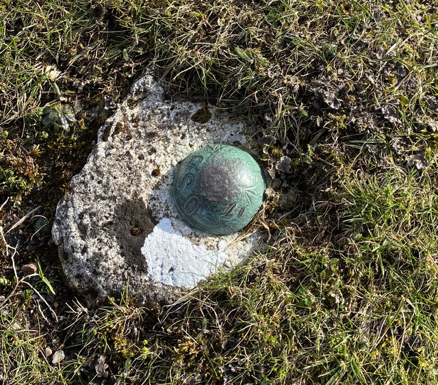
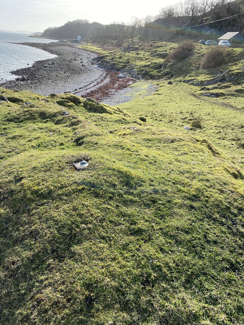
Images are sourced within 2km of 56.554328/-5.4509878 or Grid Reference NM8845. Thanks to Geograph Open Source API. All images are credited.


Eilean Trenach is located at Grid Ref: NM8845 (Lat: 56.554328, Lng: -5.4509878)
Unitary Authority: Argyll and Bute
Police Authority: Argyll and West Dunbartonshire
What 3 Words
///arming.ribs.joints. Near Oban, Argyll & Bute
Nearby Locations
Related Wikis

Airds Bay
Airds Bay is a small bay south-west of Port Appin on the west coast of Scotland. It is located at the south-western end of Appin in Argyll and Bute, forming...

St Moluag's Cathedral, Lismore
St Moluag's Cathedral is located on the Scottish island of Lismore just off the coast of Oban. As a congregation of the Church of Scotland, which is Presbyterian...

Tirefour Castle
Tirefour Castle, (or Tirefour Broch, also spelled Tirfuir and Tirrefour) is an Iron Age broch located 4 kilometres north of Achnacroish on the island of...

Castle Coeffin
Castle Coeffin is a ruin on the island of Lismore, an island in Loch Linnhe, in Argyll, on the west coast of Scotland. It stands on a promontory on the...
Nearby Amenities
Located within 500m of 56.554328,-5.4509878Have you been to Eilean Trenach?
Leave your review of Eilean Trenach below (or comments, questions and feedback).