Eilean Ramsay

Island in Argyllshire

Scotland

Eilean Ramsay

Laggan The road passing a turfed roofed cottage (locally owned holiday accommodation).
Laggan Credit: Richard Webb

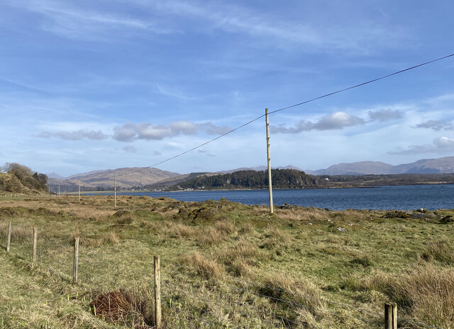
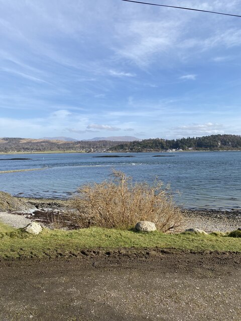
Eilean Ramsay is a small island located off the western coast of Scotland in the region of Argyllshire. This uninhabited island is part of the Inner Hebrides archipelago and is situated within the Sound of Mull, approximately 2.5 kilometers northeast of the Isle of Mull.

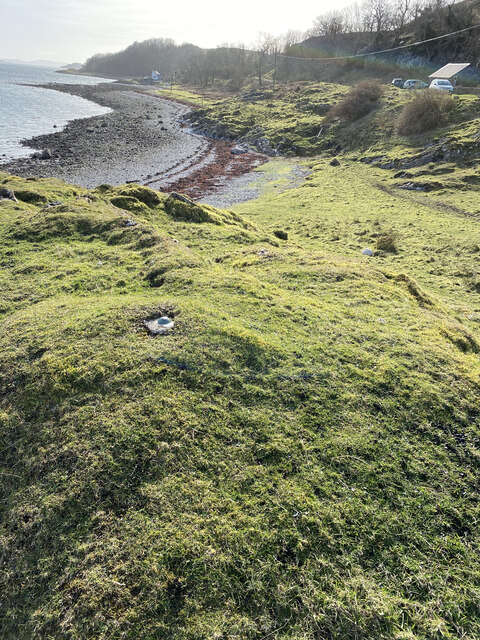
Known for its rugged and natural beauty, Eilean Ramsay covers an area of about 9 hectares and boasts steep cliffs that rise dramatically from the surrounding sea. The island is predominantly composed of rocky terrain, with sparse vegetation and limited wildlife due to its exposed position and harsh weather conditions.

One of the notable features of Eilean Ramsay is its lighthouse, which was established in 1840 to guide ships navigating the treacherous waters of the Sound of Mull. The lighthouse, standing at a height of 17 meters, is still operational and plays a crucial role in ensuring safe passage for vessels in the area.

Accessible only by boat, Eilean Ramsay is a popular destination for wildlife enthusiasts, photographers, and those seeking solitude in nature. Visitors can witness a variety of seabirds, such as gannets, puffins, and cormorants, as well as seals and occasionally dolphins or porpoises.

Due to its remote location and lack of facilities, Eilean Ramsay is not suitable for overnight stays or camping. However, boat tours and excursions are available from nearby towns such as Tobermory, allowing visitors to experience the island's untamed beauty and learn about its rich maritime history.

If you have any feedback on the listing, please let us know in the comments section below.

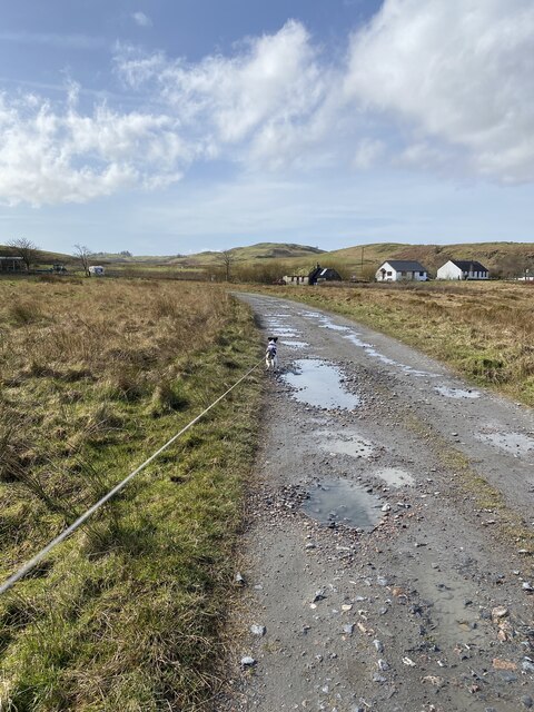
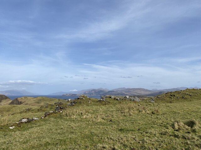
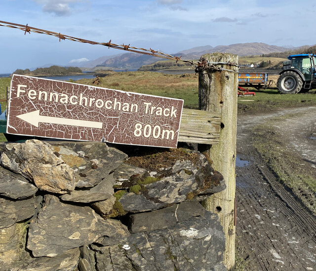
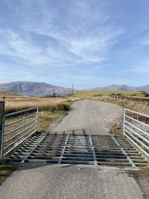
Eilean Ramsay Images

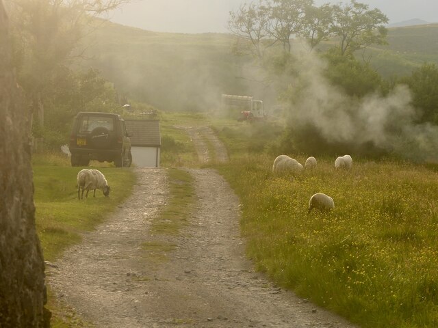
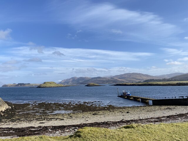
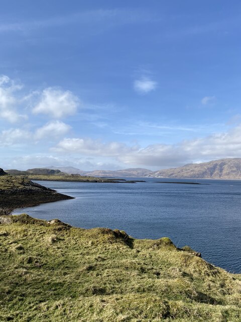
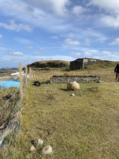
Images are sourced within 2km of 56.557349/-5.4480722 or Grid Reference NM8845. Thanks to Geograph Open Source API. All images are credited.

Laggan The road passing a turfed roofed cottage (locally owned holiday accommodation).
Laggan
The road passing a turfed roofed cottage (locally owned holiday accommodation).
Lismore jetty
Lismore jetty
Port Aineainn
Port Aineainn
Lime Kiln?
Lime Kiln?
Track towards Fennaerochan
Views to the mainland from our lunch spot
Fennachrochan Track Sign Confusing as the track didn't start in 800m and Fennachrochan trig point was more than 800m away
Fennachrochan Track Sign
Confusing as the track didn't start in 800m and Fennachrochan trig point was more than 800m away
Cattle grid near Port Ramsey
Views to Port Appin from Lismore
Location of Flush Bracket OSBM 12093: The Point (Lismore)
Port Appin from Lismore
Bolt: The Point (Lismore) <span class="nowrap"><a title="https://www.bench-marks.org.uk/bm22635" rel="nofollow ugc noopener" href="https://www.bench-marks.org.uk/bm22635">Link</a><img style="margin-left:2px;" alt="External link" title="External link - shift click to open in new window" src="https://s1.geograph.org.uk/img/external.png" width="10" height="10"/></span>
Bolt: The Point (Lismore)
Location of Bolt: The Point (Lismore)
Rubh' Àird Ghainimh The north end of Lismore.
Rubh' Àird Ghainimh
The north end of Lismore.
Rubha Mòr, Lismore
Rubha Mòr, Lismore
Inn Island, south tip from Lismore
Old jetty at Port Ramsay The hamlet of Port Ramsay at the north end of the island of Lismore was established in the early 19th century to house workers in the local lime-burning industry. Lime-burning was carried out here until the outbreak of the First World War.
Old jetty at Port Ramsay
The hamlet of Port Ramsay at the north end of the island of Lismore was established in the early 19th century to house workers in the local lime-burning industry. Lime-burning was carried out here until the outbreak of the First World War.
Old cottages at Port Ramsay The hamlet of Port Ramsay at the north end of the island of Lismore was established in the early 19th century to house workers in the local lime-burning industry. Lime-burning was carried out here until the outbreak of the First World War.
Old cottages at Port Ramsay
The hamlet of Port Ramsay at the north end of the island of Lismore was established in the early 19th century to house workers in the local lime-burning industry. Lime-burning was carried out here until the outbreak of the First World War.
Show me another place!

Eilean Ramsay is located at Grid Ref: NM8845 (Lat: 56.557349, Lng: -5.4480722)

Unitary Authority: Argyll and Bute

Police Authority: Argyll and West Dunbartonshire

What 3 Words

///koala.handrail.mess. Near Oban, Argyll & Bute

Related Wikis

Airds Bay

Airds Bay is a small bay south-west of Port Appin on the west coast of Scotland. It is located at the south-western end of Appin in Argyll and Bute, forming...

St Moluag's Cathedral, Lismore

St Moluag's Cathedral is located on the Scottish island of Lismore just off the coast of Oban. As a congregation of the Church of Scotland, which is Presbyterian...

Tirefour Castle

Tirefour Castle, (or Tirefour Broch, also spelled Tirfuir and Tirrefour) is an Iron Age broch located 4 kilometres north of Achnacroish on the island of...

Eriska

Eriska is a flat tidal island at the entrance to Loch Creran on the west coast of Scotland. Privately owned by the Buchanan-Smiths from 1973 until August...

Nearby Amenities

Located within 500m of 56.557349,-5.4480722
Port Ramsay
Name Gd: Port Ramasa
Natural: bay
Lat/Long: 56.5551577/-5.4544448
Turning Circle
Lat/Long: 56.5540183/-5.4456812
Power: pole
Lat/Long: 56.5530093/-5.4468625
Power: pole
Lat/Long: 56.553135/-5.4464275
Power: pole
Lat/Long: 56.5534615/-5.4461031
The data included in this document is from www.openstreetmap.org. The data is made available under ODbL.

Have you been to Eilean Ramsay?

Leave your review of Eilean Ramsay below (or comments, questions and feedback).