Port Ramsay

Settlement in Argyllshire

Scotland

Port Ramsay

Laggan The road passing a turfed roofed cottage (locally owned holiday accommodation).
Laggan Credit: Richard Webb

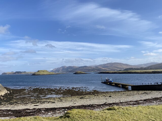
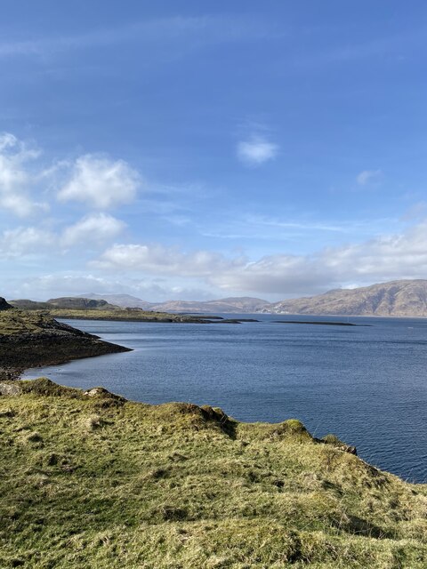
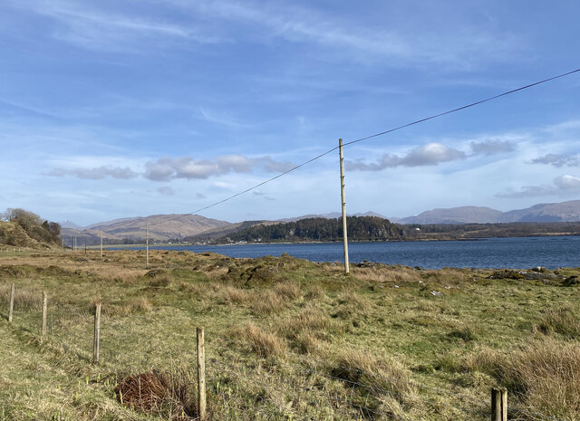
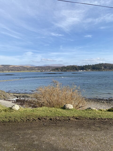
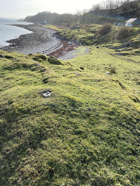
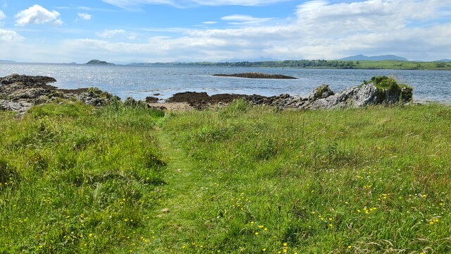
Port Ramsay is a picturesque coastal village located in the Argyllshire region of Scotland. Situated on the eastern coast of the Isle of Bute, it offers breathtaking views of the Firth of Clyde and the surrounding landscape. With a population of around 300 residents, Port Ramsay is known for its tranquil atmosphere and natural beauty, making it a popular destination for tourists and nature enthusiasts.

The village is characterized by its charming whitewashed cottages, traditional fishing boats, and a small harbor that serves as the heart of the community. Fishing has been a vital part of Port Ramsay's economy and heritage for centuries, and the village still maintains its connection to the sea through its fishing industry.

Visitors to Port Ramsay can enjoy a range of outdoor activities, including fishing, sailing, and birdwatching. The area is home to a diverse array of bird species, including gannets, guillemots, and puffins, making it a haven for bird lovers.

In addition to its natural attractions, Port Ramsay boasts a rich history. The village's origins can be traced back to the 18th century when it served as a bustling fishing port. Today, remnants of its past can be seen in the form of historic buildings, such as the old fisherman's cottage museum. The museum provides a glimpse into the village's fishing heritage and offers visitors a chance to learn about the traditional ways of life in Port Ramsay.

Overall, Port Ramsay is a hidden gem on the Isle of Bute, offering a tranquil retreat for those seeking natural beauty, outdoor activities, and a glimpse into Scotland's rich maritime history.

If you have any feedback on the listing, please let us know in the comments section below.
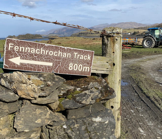
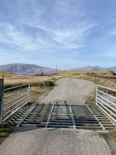
Port Ramsay Images

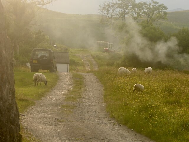
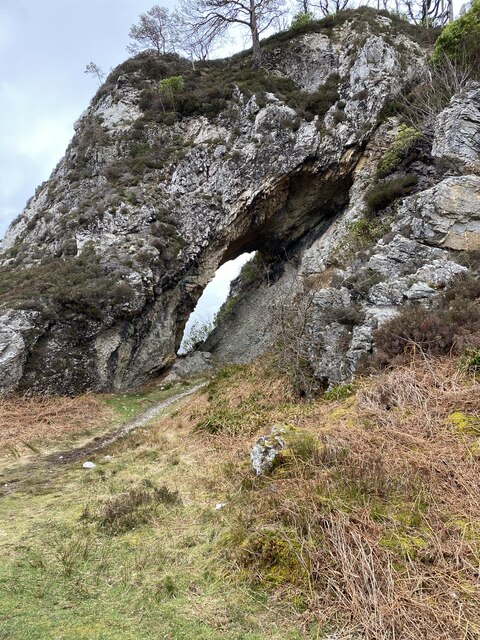
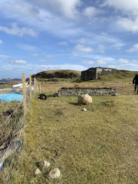
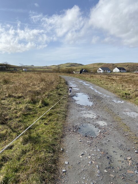
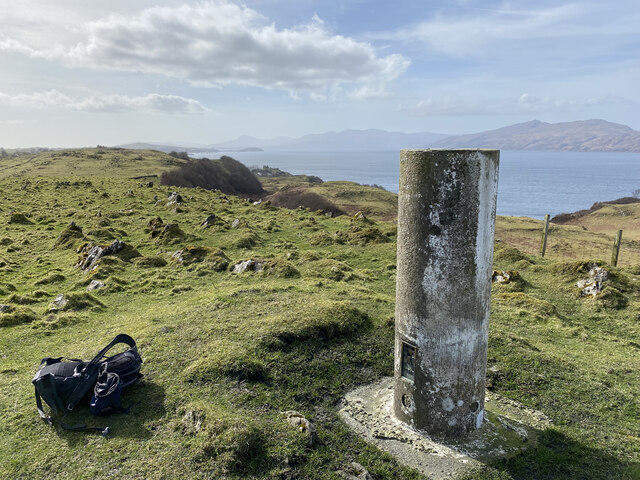
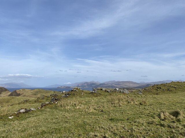
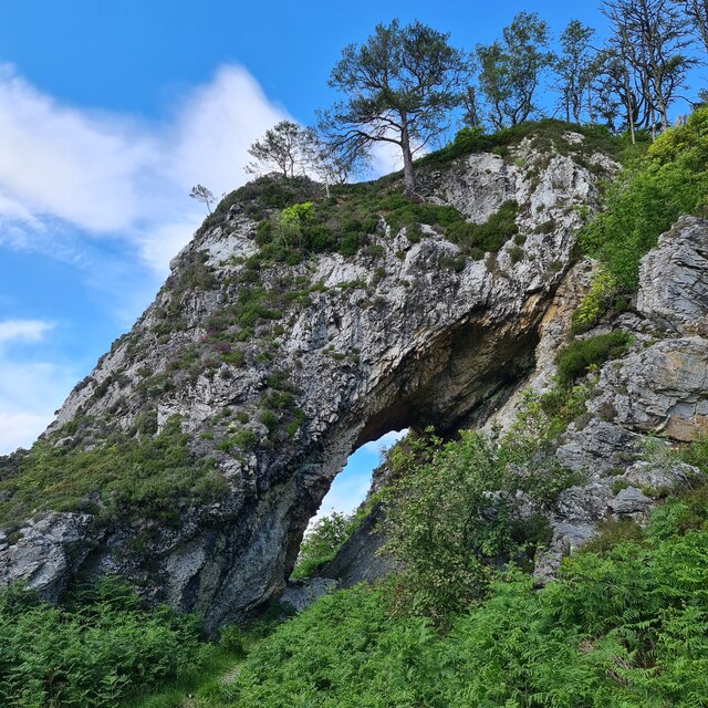
Images are sourced within 2km of 56.552505/-5.4480057 or Grid Reference NM8845. Thanks to Geograph Open Source API. All images are credited.

Laggan The road passing a turfed roofed cottage (locally owned holiday accommodation).
Laggan
The road passing a turfed roofed cottage (locally owned holiday accommodation).
Clach Toll Natural Arch
Lismore jetty
Lismore jetty
Port Aineainn
Port Aineainn
Lime Kiln?
Lime Kiln?
Track towards Fennaerochan
Fennaerochan Trig Point Flush Bracket 10518
Views to the mainland from our lunch spot
Fennachrochan Track Sign Confusing as the track didn't start in 800m and Fennachrochan trig point was more than 800m away
Fennachrochan Track Sign
Confusing as the track didn't start in 800m and Fennachrochan trig point was more than 800m away
Cattle grid near Port Ramsey
Views to Port Appin from Lismore
Location of Flush Bracket OSBM 12093: The Point (Lismore)
Port Appin from Lismore
Bolt: The Point (Lismore) <span class="nowrap"><a title="https://www.bench-marks.org.uk/bm22635" rel="nofollow ugc noopener" href="https://www.bench-marks.org.uk/bm22635">Link</a><img style="margin-left:2px;" alt="External link" title="External link - shift click to open in new window" src="https://s1.geograph.org.uk/img/external.png" width="10" height="10"/></span>
Bolt: The Point (Lismore)
Location of Bolt: The Point (Lismore)
Natural arch, Clach Thoull
Lynn of Lorne Looking over Appin Rocks
Lynn of Lorne
Looking over Appin Rocks
Show me another place!

Port Ramsay is located at Grid Ref: NM8845 (Lat: 56.552505, Lng: -5.4480057)

Unitary Authority: Argyll and Bute

Police Authority: Argyll and West Dunbartonshire

What 3 Words

///windpipe.powering.hike. Near Oban, Argyll & Bute

Related Wikis

Airds Bay

Airds Bay is a small bay south-west of Port Appin on the west coast of Scotland. It is located at the south-western end of Appin in Argyll and Bute, forming...

St Moluag's Cathedral, Lismore

St Moluag's Cathedral is located on the Scottish island of Lismore just off the coast of Oban. As a congregation of the Church of Scotland, which is Presbyterian...

Tirefour Castle

Tirefour Castle, (or Tirefour Broch, also spelled Tirfuir and Tirrefour) is an Iron Age broch located 4 kilometres north of Achnacroish on the island of...

Eriska

Eriska is a flat tidal island at the entrance to Loch Creran on the west coast of Scotland. Privately owned by the Buchanan-Smiths from 1973 until August...

Nearby Amenities

Located within 500m of 56.552505,-5.4480057
Passing Place
Lat/Long: 56.5504279/-5.4423327
Passing Place
Lat/Long: 56.5515182/-5.4433229
Passing Place
Lat/Long: 56.5524522/-5.4453309
Port Ramsay
Name Gd: Port Ramasa
Place: hamlet
Source: OS_OpenData_StreetView
Lat/Long: 56.5527167/-5.446948
Barrier: cattle_grid
Lat/Long: 56.5513933/-5.4431742
Post Box
Operator: Royal Mail
Post Box Type: pillar
Ref: PA34 91
Royal Cypher: scottish_crown
Lat/Long: 56.5524427/-5.4479361
Telephone
Booth: K6
Covered: booth
Operator: BT
Payment Cash: no
Payment Credit Cards: yes
Payment Debit Cards: yes
Payment Telephone Cards: yes
Phone: +44 1631 760255
Lat/Long: 56.5524517/-5.4479619
Power: pole
Lat/Long: 56.5527625/-5.4402387
Power: pole
Lat/Long: 56.5523101/-5.4411292
Power: pole
Lat/Long: 56.5518851/-5.4419902
Power: pole
Lat/Long: 56.5514201/-5.4428405
Power: pole
Lat/Long: 56.5510417/-5.4436344
Power: pole
Lat/Long: 56.5504414/-5.4440689
Power: pole
Lat/Long: 56.5499654/-5.4444551
Power: pole
Lat/Long: 56.5494789/-5.4447851
Power: pole
Lat/Long: 56.5490694/-5.445115
Power: pole
Lat/Long: 56.5484802/-5.4455616
Port Ramsay
Name Gd: Port Ramasa
Natural: bay
Lat/Long: 56.5551577/-5.4544448
Turning Circle
Lat/Long: 56.5540183/-5.4456812
Power: pole
Lat/Long: 56.5488183/-5.4436885
Power: pole
Lat/Long: 56.5499193/-5.454119
Power: pole
Lat/Long: 56.5523873/-5.4477276
Power: pole
Lat/Long: 56.5526451/-5.4472527
Power: pole
Lat/Long: 56.5530093/-5.4468625
Power: pole
Lat/Long: 56.553135/-5.4464275
Power: pole
Lat/Long: 56.5534615/-5.4461031
Power: pole
Lat/Long: 56.5513072/-5.4456082
Power: pole
Lat/Long: 56.55181/-5.4465486
Power: pole
Lat/Long: 56.5522201/-5.447335
The data included in this document is from www.openstreetmap.org. The data is made available under ODbL.

Have you been to Port Ramsay?

Leave your review of Port Ramsay below (or comments, questions and feedback).